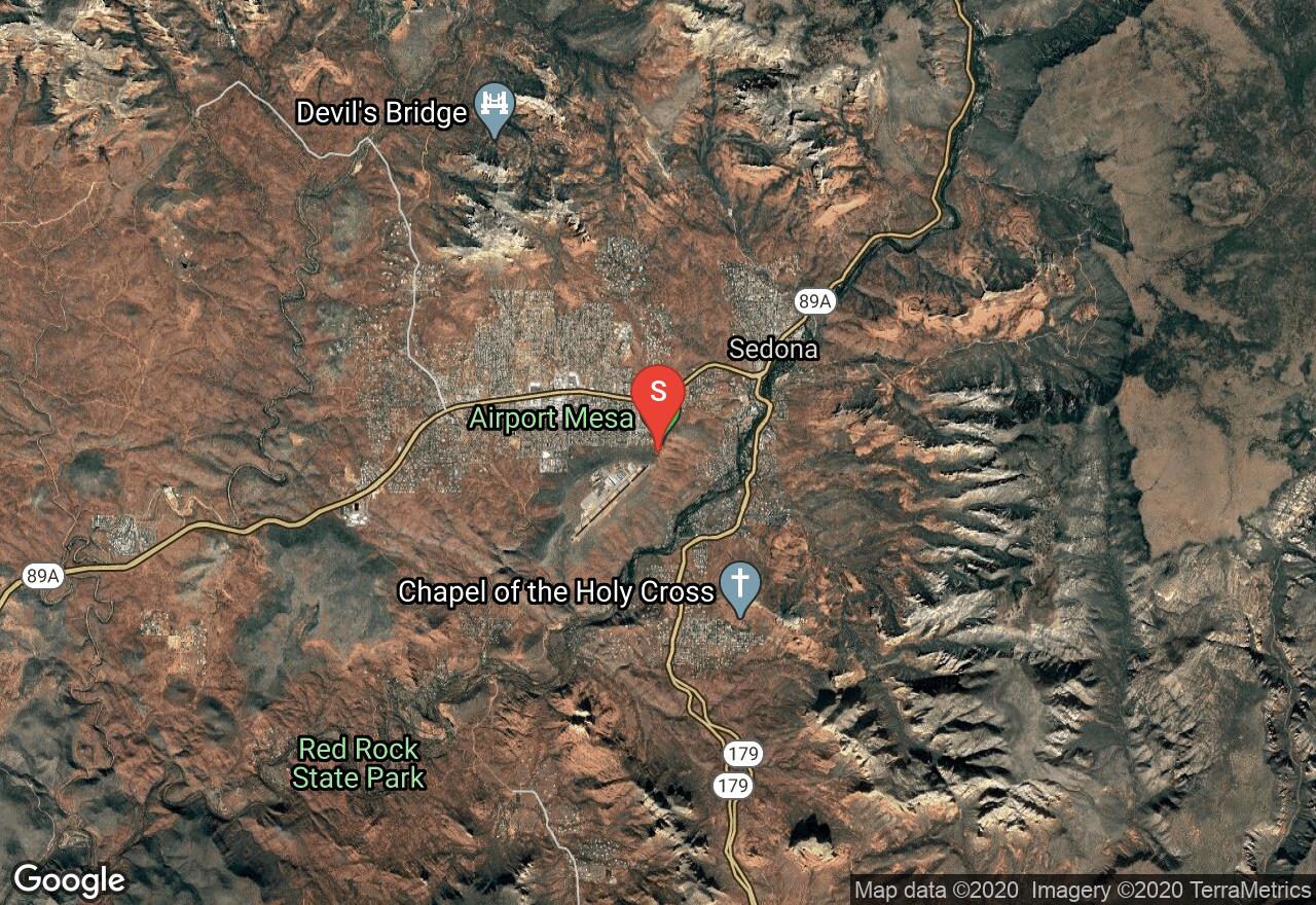
Airport Mesa Loop Trail
Yavapai County, Arizona
Uploaded by Bivy Team

VIEW MAP
01 :19 hrs
3.3 mi
290 ft
Moderate
Trail Running
This loop trail circles around the Sedona Airport and offers great panoramic views of the Sedona area. The hike has views of Twin Buttes, Cathedral Rock, and many other well-known red rock landmarks. There are sections of the hike where the trail is very rocky and narrow with steep cliffs so paying attention and wearing appropriate shoes is important. Hiking the trail at sunset and sunrise is popular due to the amazing colors that appear during those times. The trail is very hot during the summer and also very slippery when wet so plan accordingly.
2 photos
Get the app

