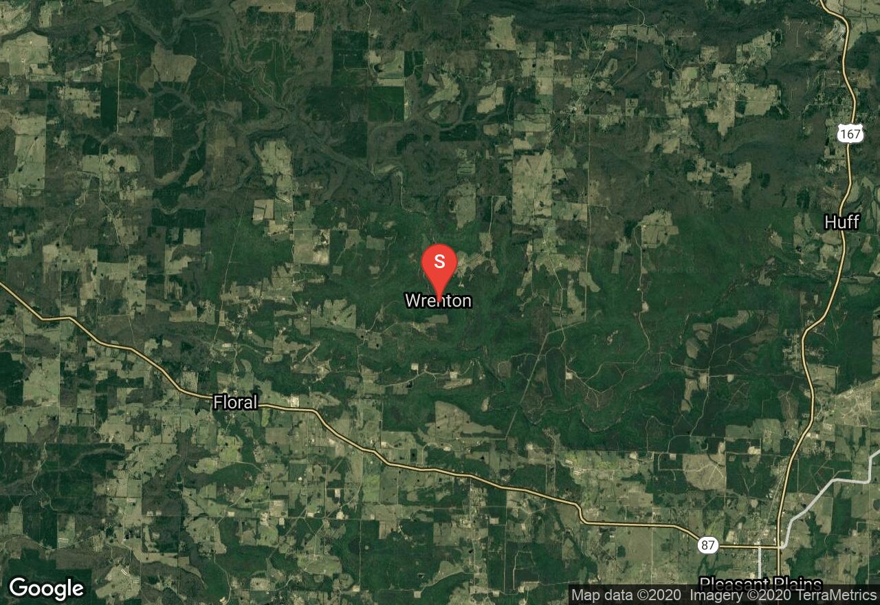
Salado Creek, Camp Tahkodah to US 167
Independence County, Arkansas
Uploaded by Bivy Team

VIEW MAP
04 :04 hrs
10.1 mi
209 ft
III
Kayaking
Canoeing
This moderate length paddle begins at Camp Tahkodah (fee required for access) and descends a narrow creek through a steep sided woodland canyon with multiple class II rapids. A class III rapid will challenge you about two miles below the put-in. A dense willow thicket presents a difficult obstacle in the last mile of the trip; there is little choice but to fight your way through. To determine if flows are high enough to run this little creek (best after rains) look to see how many stones are visible above the water at the take-out on the US 167 bridge; nine stones or less indicates runnable flows.
2 photos
Get the app

