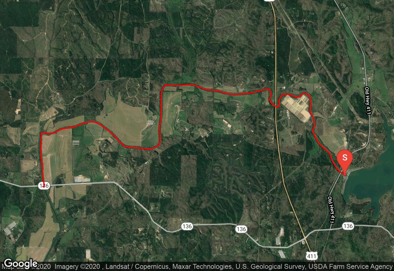
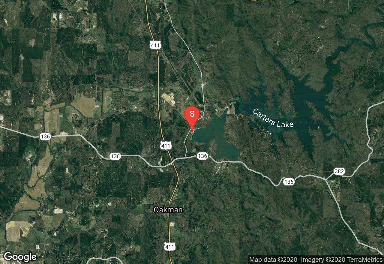
Coosawatte River
Murray County, Georgia
Uploaded by Bivy Team
VIEW MAP
03 :29 hrs
8.2 mi
38 ft
I
Kayaking
Canoeing
The Coosawatte was dammed because of its tendency to flood some of its bordering towns. At this part of the river, below Carter Lake, the Army Corps of Engineers has agreed to have at least 240 cfs of water flowing at all times. This part of the river has high (as high as 30-40 ft. in places) wooded banks lined with walnut, river birch and sycamore trees. There are plenty of fallen trees on this run, so a bit navigation will be necessary. Because this is a dam controlled river it will be important for you to call ahead to get the generation schedule.
2 photos
Get the app

