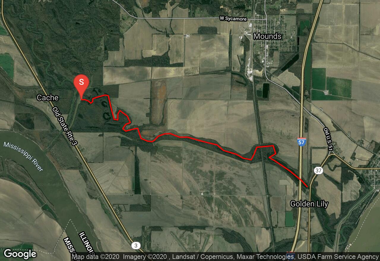
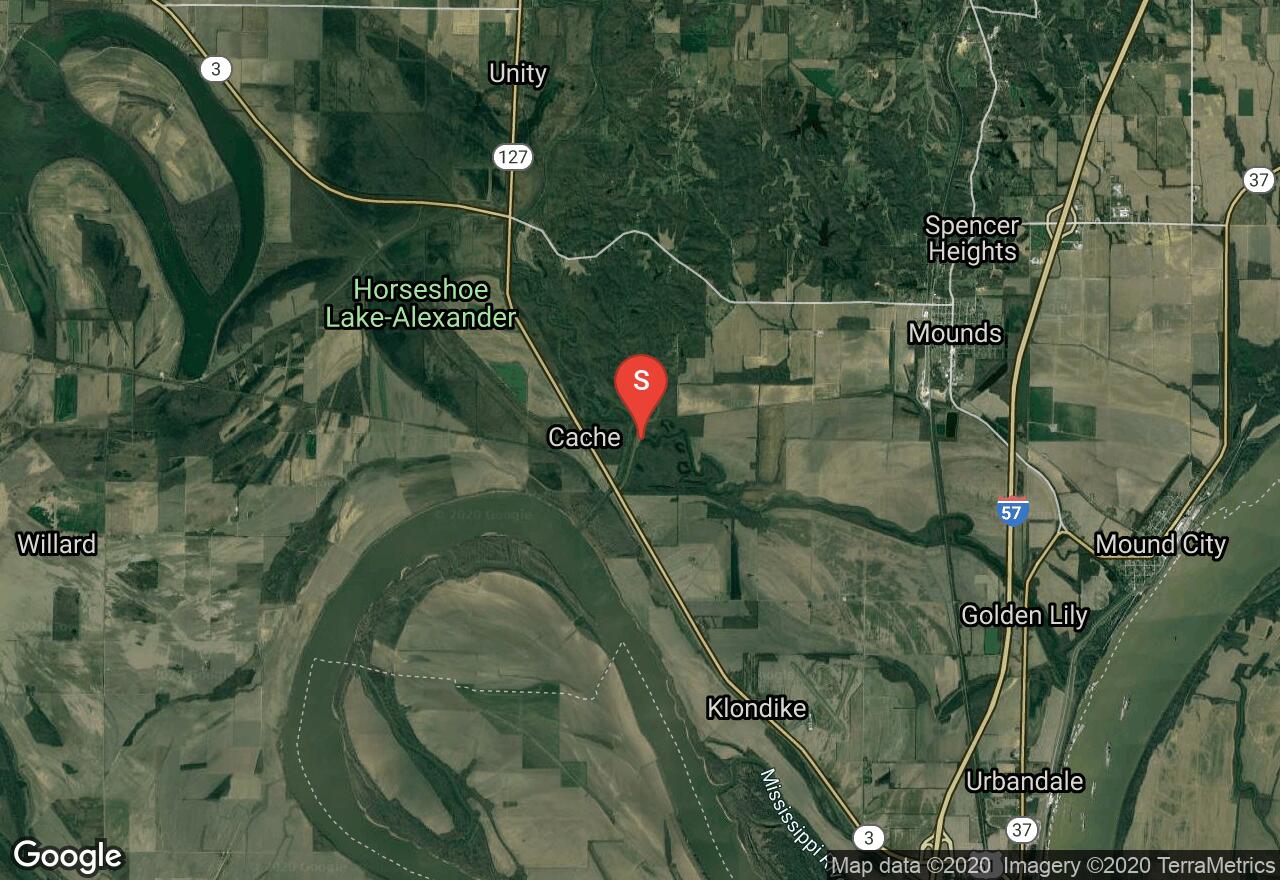
Cache River - Levee Launch to Hwy 51
Pulaski County, Illinois
Uploaded by Bivy Team
VIEW MAP
02 :31 hrs
5.7 mi
23 ft
I
Kayaking
Canoeing
This section of the Cache River runs between the Mississippi River cutoff and Highway 51 north of Golden Lily. The river can be run in either direction and is very wide with little debris and very slow current making it a good option for paddlers of all skill levels. The river winds through wooded terrain and floodplain forests mixed in with agricultural areas. There is lots of opportunity for birdwatching and viewing other wildlife along this route. There are poisonous snakes in the area so watch out and be cautious.
2 photos
Get the app

