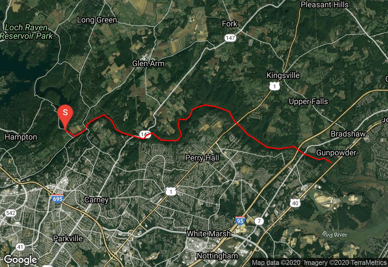
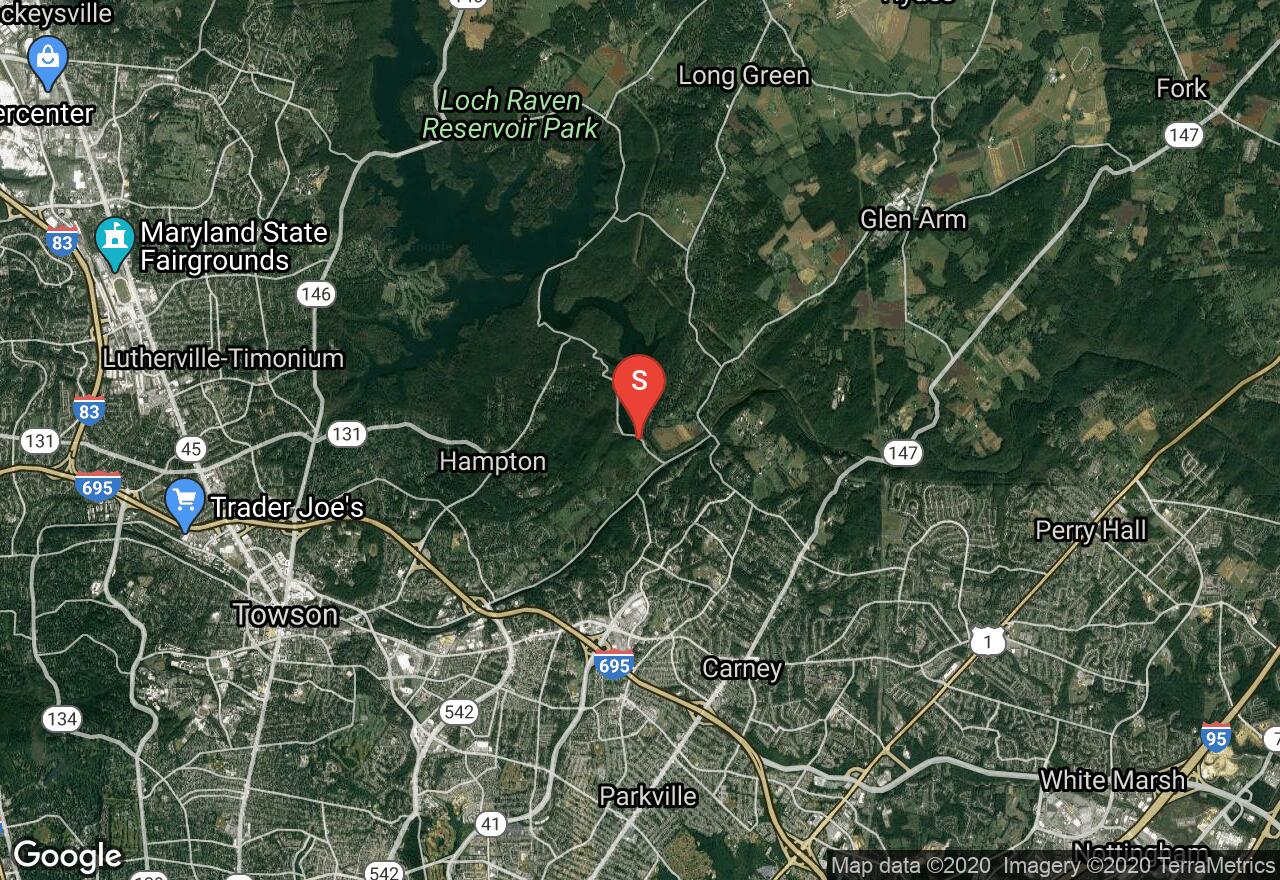
Gunpowder Falls: Lower Loch Raven Dam to US Route 40
Baltimore County, Maryland
Uploaded by Bivy Team
VIEW MAP
04 :24 hrs
10.8 mi
174 ft
IV
Rafting
Kayaking
This section of Gunpowder Falls includes the exciting descent over the Fall Line. The Fall Line begins just below Route 1 and soon after put-in is where the whitewater starts and the river tumbles down a boulder and ledgy bed. The entire trip runs within the confines of a shallow, wooded gorge, protected by a state park. Take out at Route 7 for best convenience or at Route 40 if you want to catch every last rapid. Route 40, however, has “no parking” signs, but there is a park access just upstream on the left off Jones Road. It is about a 200-yard walk up from the river.
2 photos
jtabbsvt
8 years ago
Beautiful run, but no way is it Class IV. II-III is more accurate.
Get the app

