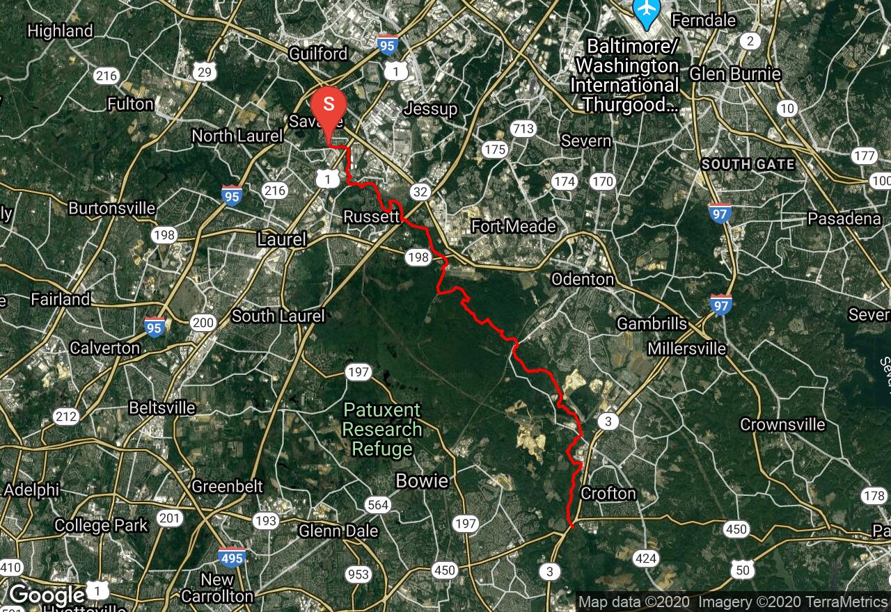
Little Patuxent River: Foundry Street to MD Route 3
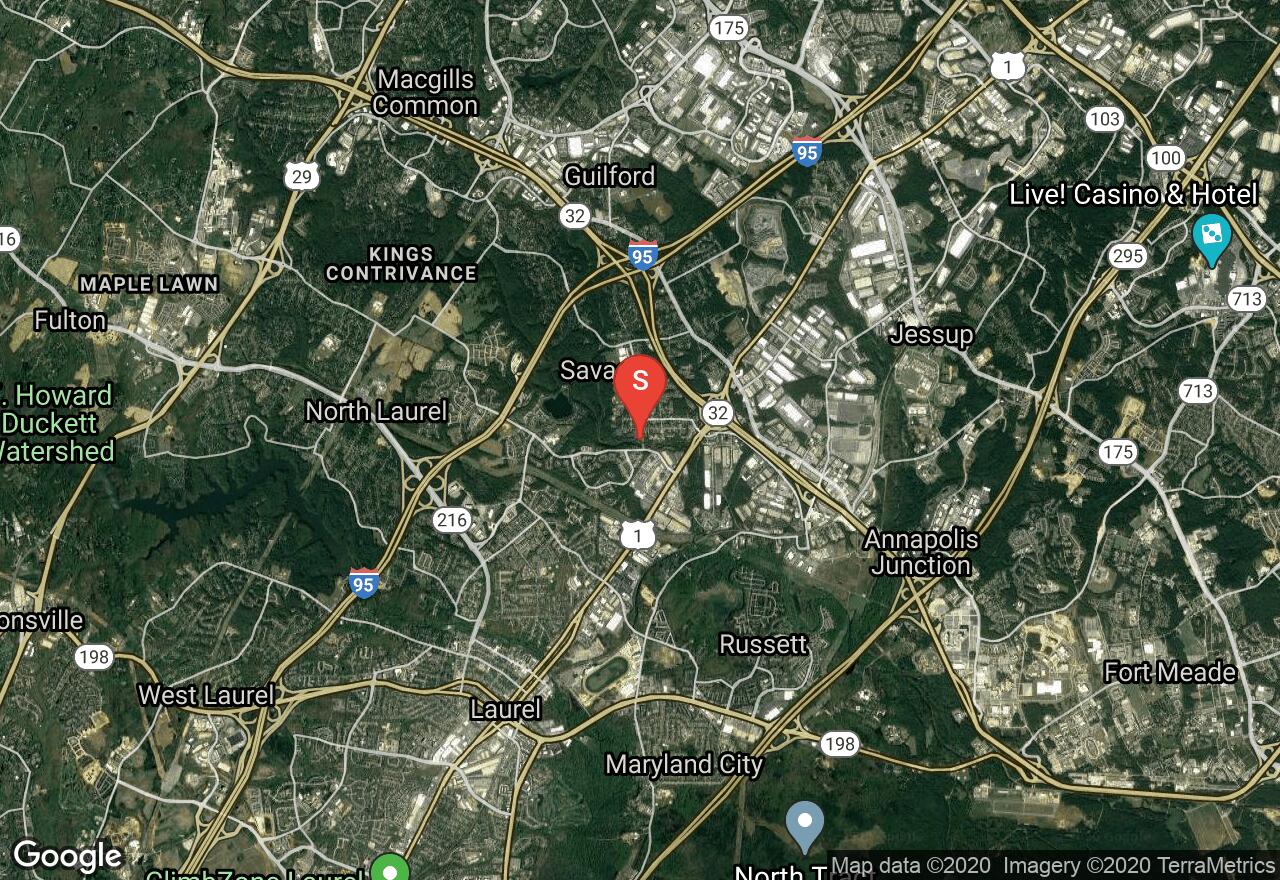
Savage-Guilford, Maryland
Uploaded by Bivy Team
VIEW MAP
07 :40 hrs
18.4 mi
139 ft
I
Kayaking
Canoeing
The Little Patuxent is a diverse stream as it picks a pleasant path through an area that is increasingly urban, suburban, or industrial. It has some miles that will delight the whitewater boaters as well as many miles of smooth water. This section starts of for the first three miles with many easy rapids and riffles, then below Brock Bridge Road, the river is typically flat with a strong current. Some strainers and braided sections of the river make navigation somewhat difficult for the last few miles. There is a dam just above MD Route 198 that requires a portage. Most of the scenery consists of woodlands, floodplain forest, or beech-covered hillsides. This is a peaceful and seemingly remote area.
2 photos
Get the app

