Mattawoman Creek
Charles County, Maryland
Uploaded by Bivy Team
02 :38 hrs
6.2 mi
10 ft
I
Sea Kayaking
Kayaking
Canoeing
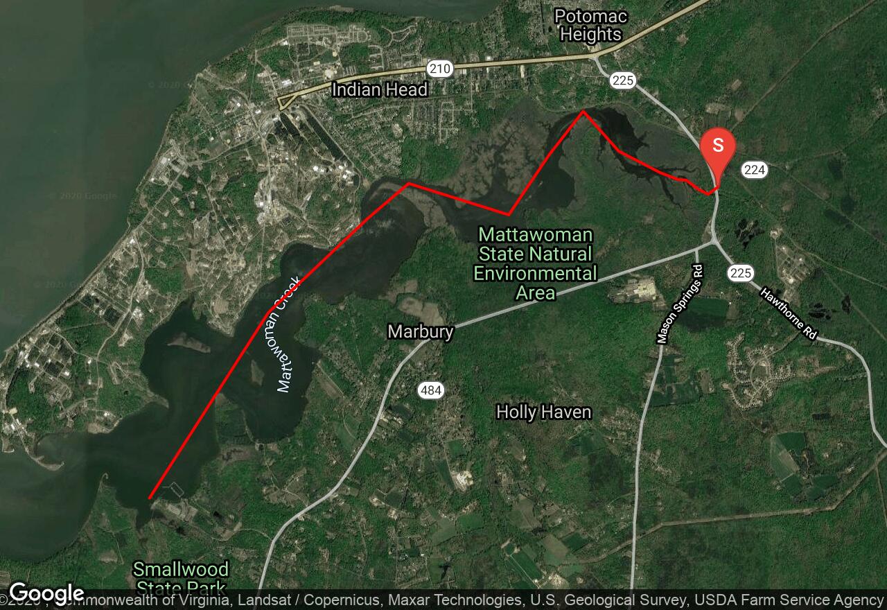
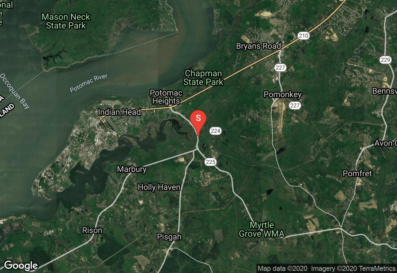
Mattawoman Creek starts in Cedarville State Forest and joins the Potomac at Indian Head. For most of its length it is small, winding, tangled, and choked with fallen trees, logs, and scrubby bushes. This route begins after all of this wreckage and is clear of obstacles and wide. The first mile is by far the nicest with a mix of marsh and swampy shores, partially protected by a state environmental preserve. Waterfowl are abundant. As Mattawoman widens, the Naval Surface Warfare Center appears on the right, while the left shore remains mostly undeveloped. Views of the broad Potomac lie about a mile beyond and the bluffs on the left riverbank in this last mile support rich stands of mountain laurel which bloom in late May. Motor boats and strong winds are possible hazards.
2 photos
[{"url":"https://images.bivy.com/lgMap/5329663169658880.jpg"},{"url":"https://images.bivy.com/lgTrailMap/5329663169658880.jpg"}]
Mattawoman Creek | Charles County, Maryland
Mattawoman Creek starts in Cedarville State Forest and joins the Potomac at Indian Head. For most of its length it is small, winding, tangled, and choked with fallen trees, logs, and scrubby bushes. This route begins after all of this wreckage and is clear of obstacles and wide. The first mile is by far the nicest with a mix of marsh and swampy shores, partially protected by a state environmental preserve. Waterfowl are abundant. As Mattawoman widens, the Naval Surface Warfare Center appears on the right, while the left shore remains mostly undeveloped. Views of the broad Potomac lie about a mile beyond and the bluffs on the left riverbank in this last mile support rich stands of mountain laurel which bloom in late May. Motor boats and strong winds are possible hazards.