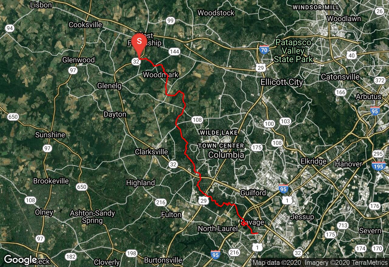
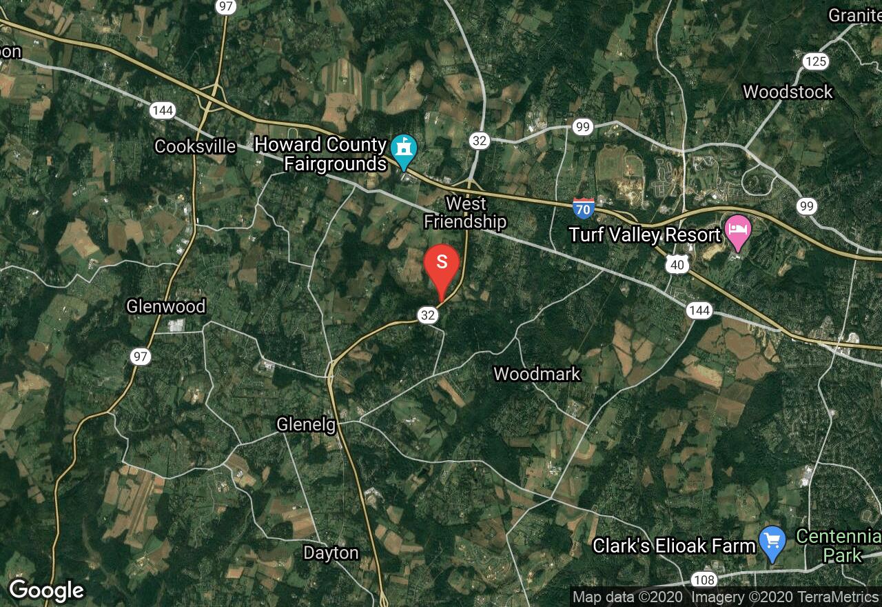
Middle Patuxent River
Howard County, Maryland
Uploaded by Bivy Team
08 :03 hrs
19.5 mi
265 ft
IV
The first several miles of this run twists down a broad wooded floodplain bordered by big houses but there is also a contrasting, exposed reach where the creek passes through pretty fields. Riffles are frequent but simple and trees are also frequent. Below Homewood Road, much of the run is set in a shallow, wooded gorge with beautiful scenery. Progress continues to be slow because of fallen trees. A few miles below Route 29, numerous small rapids of rock gardens little ledges appear and the scenery is decorated with big rock outcrops clothed in hemlock, ferns, and mountain laurel. The last half mile holds the whitewater climax, The Falls, consisting of a short, steep staircase of sharp ledges and a drop of a total of about 15 feet. Scout The Falls and, if in doubt, carry it on the left.
2 photos
[{"url":"https://images.bivy.com/lgMap/5214789974360064.jpg"},{"url":"https://images.bivy.com/lgTrailMap/5214789974360064.jpg"}]
Middle Patuxent River | Howard County, Maryland
The first several miles of this run twists down a broad wooded floodplain bordered by big houses but there is also a contrasting, exposed reach where the creek passes through pretty fields. Riffles are frequent but simple and trees are also frequent. Below Homewood Road, much of the run is set in a shallow, wooded gorge with beautiful scenery. Progress continues to be slow because of fallen trees. A few miles below Route 29, numerous small rapids of rock gardens little ledges appear and the scenery is decorated with big rock outcrops clothed in hemlock, ferns, and mountain laurel. The last half mile holds the whitewater climax, The Falls, consisting of a short, steep staircase of sharp ledges and a drop of a total of about 15 feet. Scout The Falls and, if in doubt, carry it on the left.