![]()
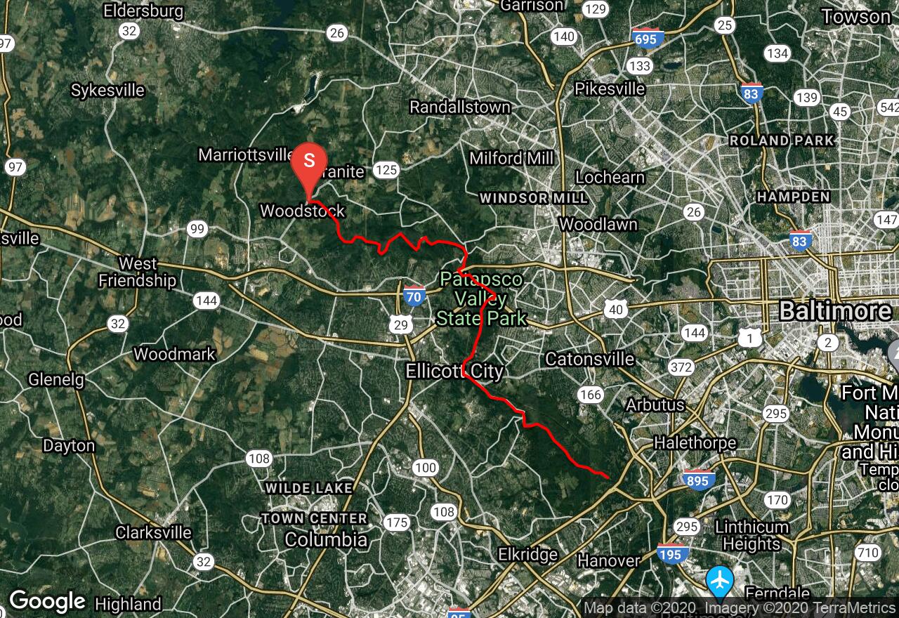
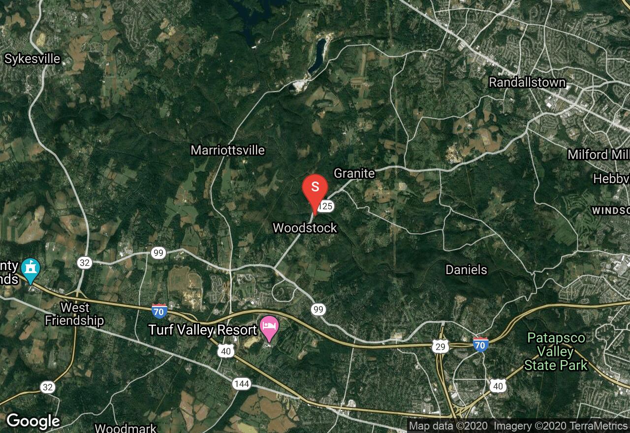
Patapsco River: Woodstock to Gun Road
Baltimore County, Maryland
Uploaded by Bivy Team
06 :36 hrs
16 mi
216 ft
III
On this section of the Patapsco, the river winds peacefully through an attractive, wooded gorge. There is a 15-foot dam at Daniels that requires a carry. Some riffles and rocks appear but is mostly calm until the river passes beneath the high US Route 40 bridge. Immediately below this bridge is the old Union Dam, now breached on the right. The twisting chute through here can be nasty at any water level and most would choose to portage. The next few miles are almost continuous whitewater. Complex rock gardens and bouncy chains of waves emerge and a boulder rapid below the old Dickey Mills at Oella makes the climax. The rapids continue on past Ellicott City until reach a short backwater. Carry the 12-foot dam at Thistle. More easy rapids and riffles continue and the take-out is at the Glen Artney Area of Patapsco State Park. The scenery along this run consists of beautiful forest and hills.
2 photos
[{"url":"https://images.bivy.com/lgMap/6745473368981504.jpg"},{"url":"https://images.bivy.com/lgTrailMap/6745473368981504.jpg"}]
Patapsco River: Woodstock to Gun Road | Baltimore County, Maryland
On this section of the Patapsco, the river winds peacefully through an attractive, wooded gorge. There is a 15-foot dam at Daniels that requires a carry. Some riffles and rocks appear but is mostly calm until the river passes beneath the high US Route 40 bridge. Immediately below this bridge is the old Union Dam, now breached on the right. The twisting chute through here can be nasty at any water level and most would choose to portage. The next few miles are almost continuous whitewater. Complex rock gardens and bouncy chains of waves emerge and a boulder rapid below the old Dickey Mills at Oella makes the climax. The rapids continue on past Ellicott City until reach a short backwater. Carry the 12-foot dam at Thistle. More easy rapids and riffles continue and the take-out is at the Glen Artney Area of Patapsco State Park. The scenery along this run consists of beautiful forest and hills.