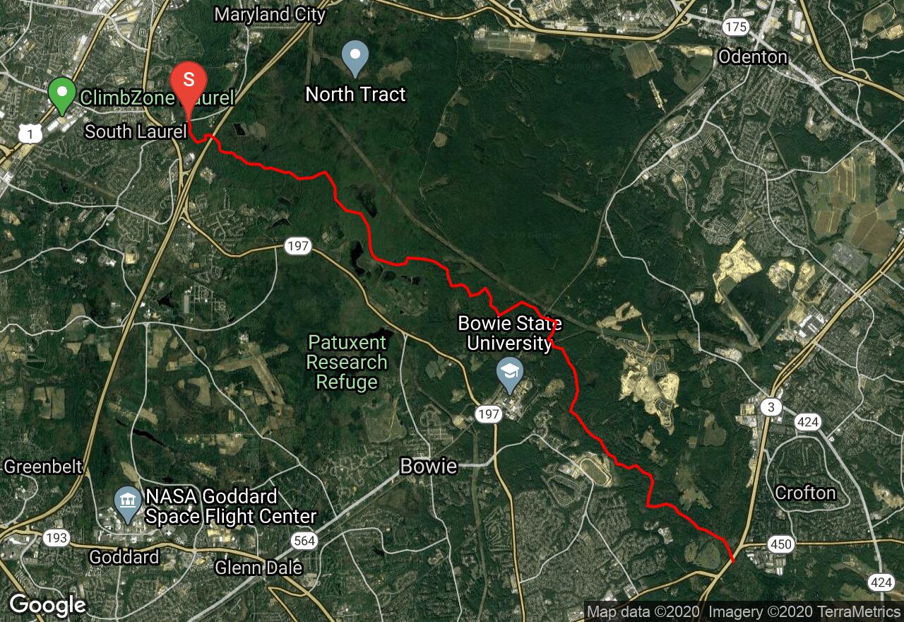
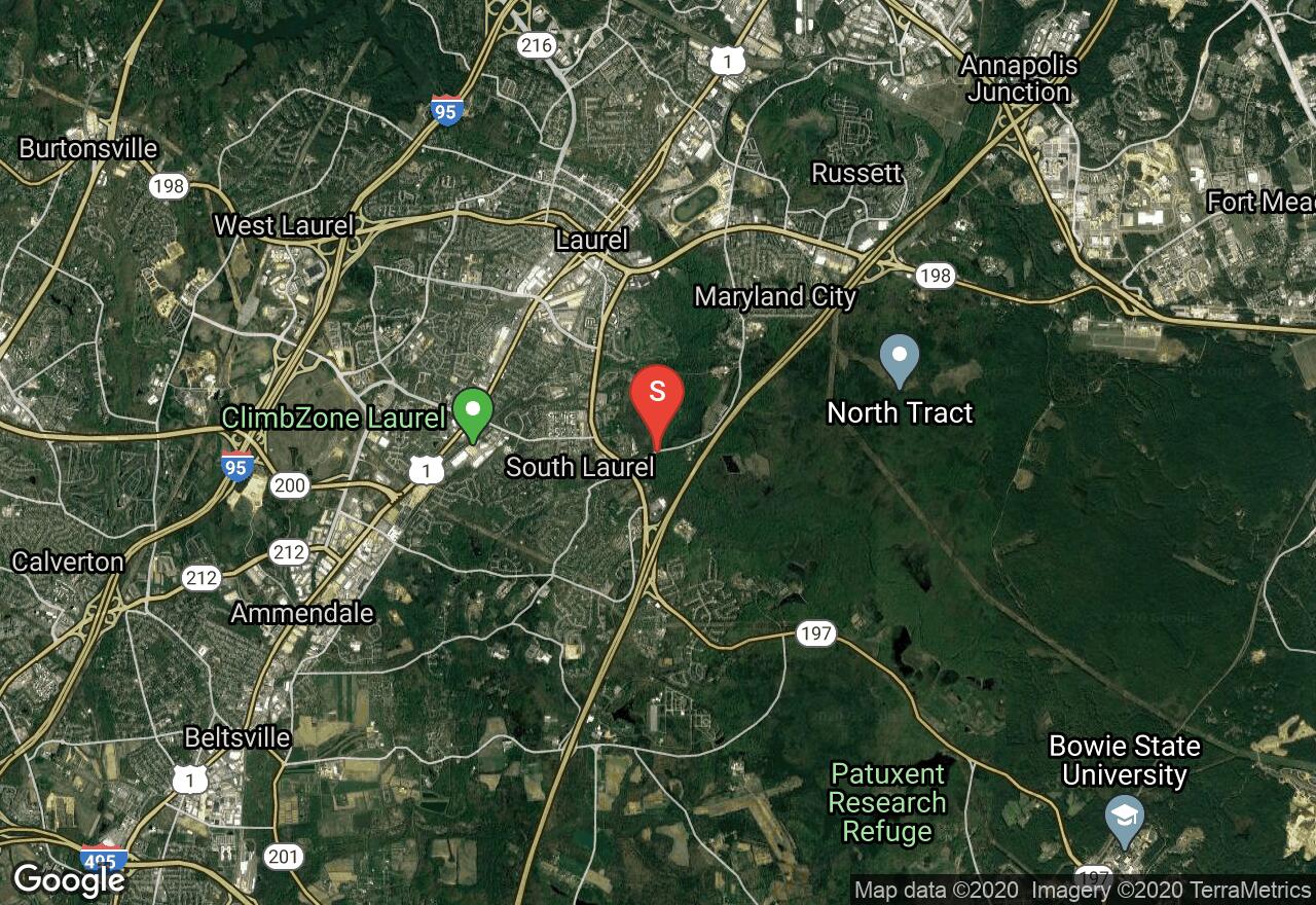
Patuxent River: Brock Bridge Road to MD Route 3
Maryland City, Maryland
Uploaded by Bivy Team
VIEW MAP
05 :08 hrs
12.3 mi
84 ft
I
Kayaking
Canoeing
The Patuxent River is a river that has suffered at the hands of man in the name of progress but much of it has been maintained in a semi-wilderness character that makes for some attractive cruising right in the heart of the Washington-Baltimore metropolis. On this section, the stream enters the Patuxent Research Refuge and the scenery is a beautiful swamp forest decorated by big, graceful beech trees. Navigation can be a challenge as the river periodically braids into numerous tiny channels with fallen trees often blocking the path. This route is only runnable when Duckett Reservoir is overflowing after a hard rain or after water release.
2 photos
Get the app

