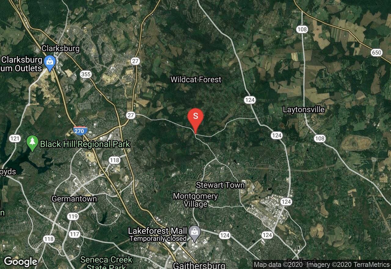
Seneca Creek
Montgomery County, Maryland
Uploaded by Bivy Team
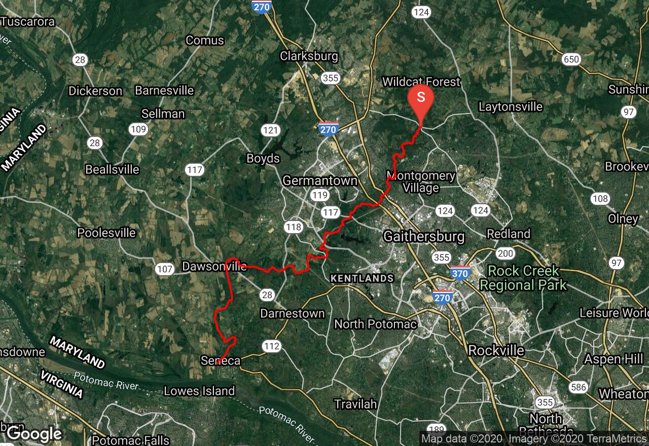
VIEW MAP
08 :19 hrs
20 mi
172 ft
I
Kayaking
Canoeing
This stream winds between muddy banks and through sometimes scrubby woods with only a few power line crossings to mar the solitude. Rock outcrops and hemlock-shaded bluffs provide great scenery. The water has some riffles, sand bars, and sunken logs and there is a lot of deadfall and log jams. You will need to carry a low-water bridge at Watkins Mill Road. The last half mile below River Road is a backwater of the Potomac filled with motorboats and line with shabby summer dwellings. There is a busy public ramp at the old C&O Canal aqueduct but you can avoid this by taking out on the left just below the River Road bridge.
2 photos
Get the app

