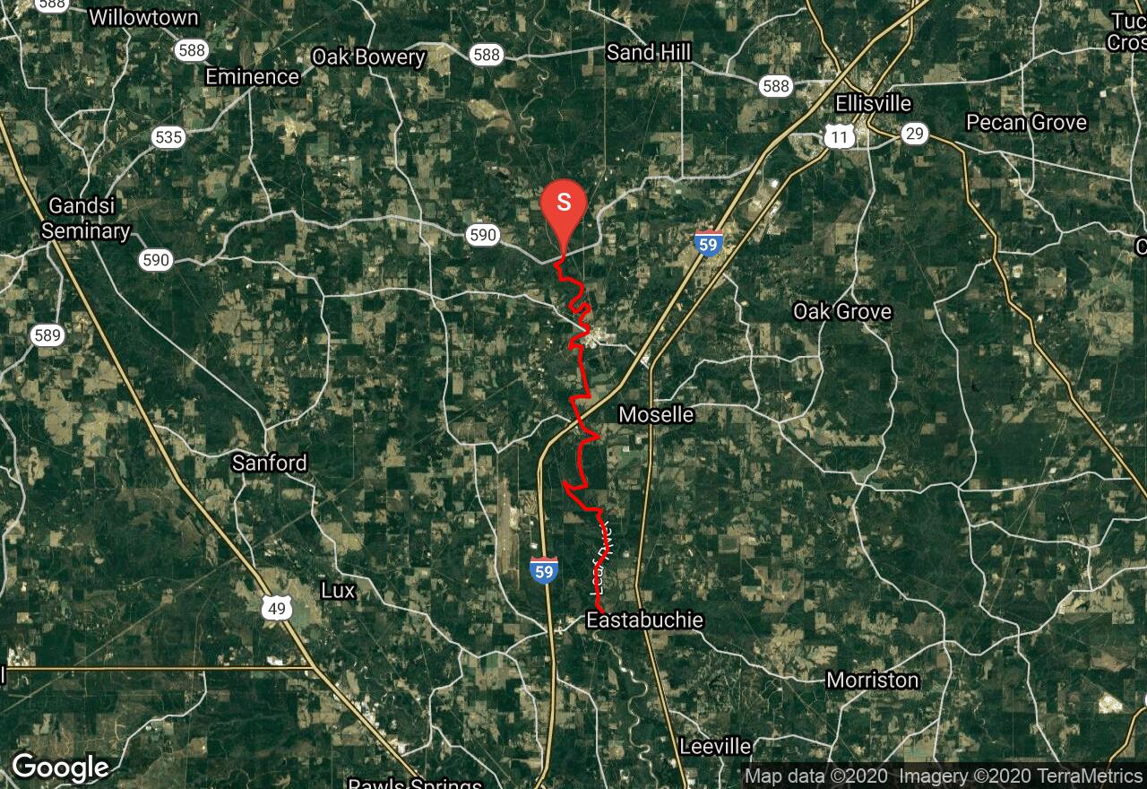
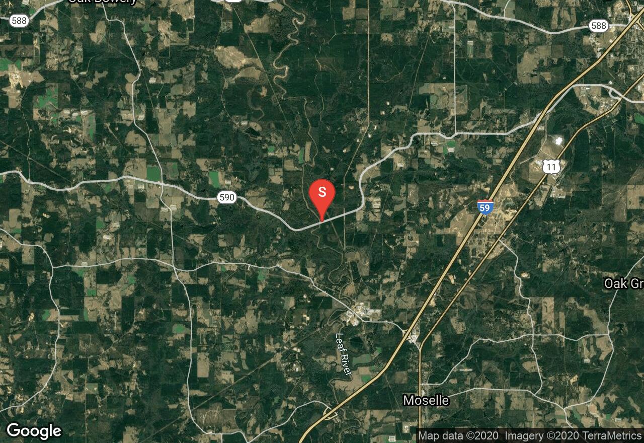
Leaf River: Highway 590 - Eastabuchie
Jones County, Mississippi
Uploaded by Bivy Team
05 :31 hrs
13.1 mi
57 ft
III
The Leaf River, like the Chickasawhay River, flows for more than 150 miles through southeast Mississippi before merging to for the Pascagoula. For most of its length it tends to be a bit small for many motor boaters and a bit big for many paddlers, making it an ideal spot for a quiet getaway. Many other rivers and creeks join the Leaf River along its course and it grows significantly before its terminus. Towering, 70-foot bluffs and dense forest create a secure, closed-in feeling on this section. The river bottom swamps resemble tropical jungles, while high piney bluffs suggest the Rocky Mountains. There are numerous riffles and easy rapids on this route, including a 3-4-foot runnable waterfall called Gordon’s Rock.
2 photos
[{"url":"https://images.bivy.com/lgMap/6460976715005952.jpg"},{"url":"https://images.bivy.com/lgTrailMap/6460976715005952.jpg"}]
Leaf River: Highway 590 - Eastabuchie | Jones County, Mississippi
The Leaf River, like the Chickasawhay River, flows for more than 150 miles through southeast Mississippi before merging to for the Pascagoula. For most of its length it tends to be a bit small for many motor boaters and a bit big for many paddlers, making it an ideal spot for a quiet getaway. Many other rivers and creeks join the Leaf River along its course and it grows significantly before its terminus. Towering, 70-foot bluffs and dense forest create a secure, closed-in feeling on this section. The river bottom swamps resemble tropical jungles, while high piney bluffs suggest the Rocky Mountains. There are numerous riffles and easy rapids on this route, including a 3-4-foot runnable waterfall called Gordon’s Rock.