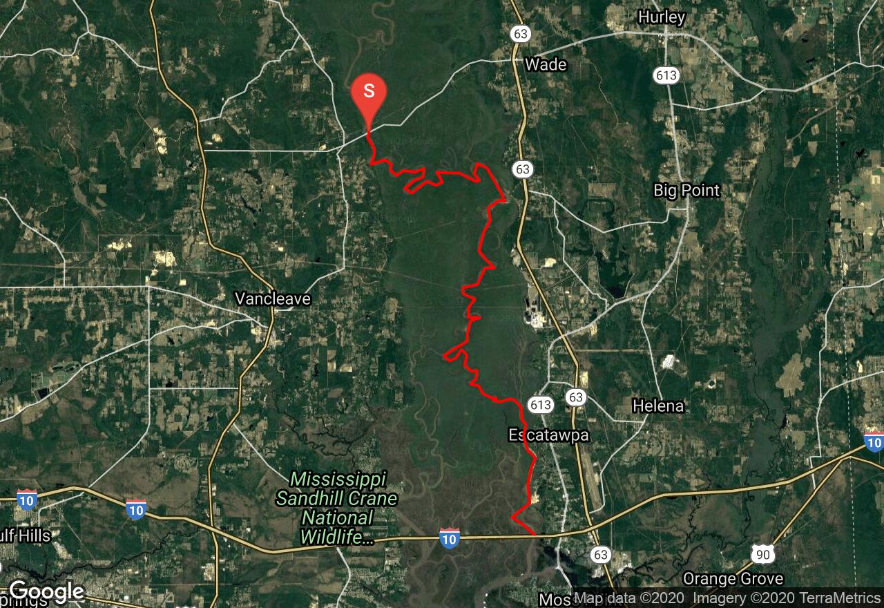
Pascagoula River: Highway 614 - Interstate-10
Jackson County, Mississippi
Uploaded by Bivy Team
VIEW MAP
11 :31 hrs
27.1 mi
12 ft
I
Kayaking
Canoeing
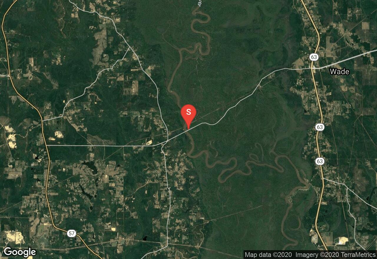
The Pascagoula River is the grand waterway of southeast Mississippi and is already sizeable when it officially begins at the juncture of the Leaf and Chickasawhay Rivers. It is a remarkably wild river, bordered for most of its length by the Pascagoula River Wildlife Management Area and the Ward Bayou Wildlife Management Area with several other wildlife areas flanking these and filling the area for miles. This section enters the Ward Bayou Wildlife Management Area and does a considerable amount of meandering before it splits into two branches. Continue on the east branch to a ramp below the Interstate-10 bridge.
2 photos
Get the app

