Middle Fork Loop
Iron County, Missouri
Uploaded by Bivy Team

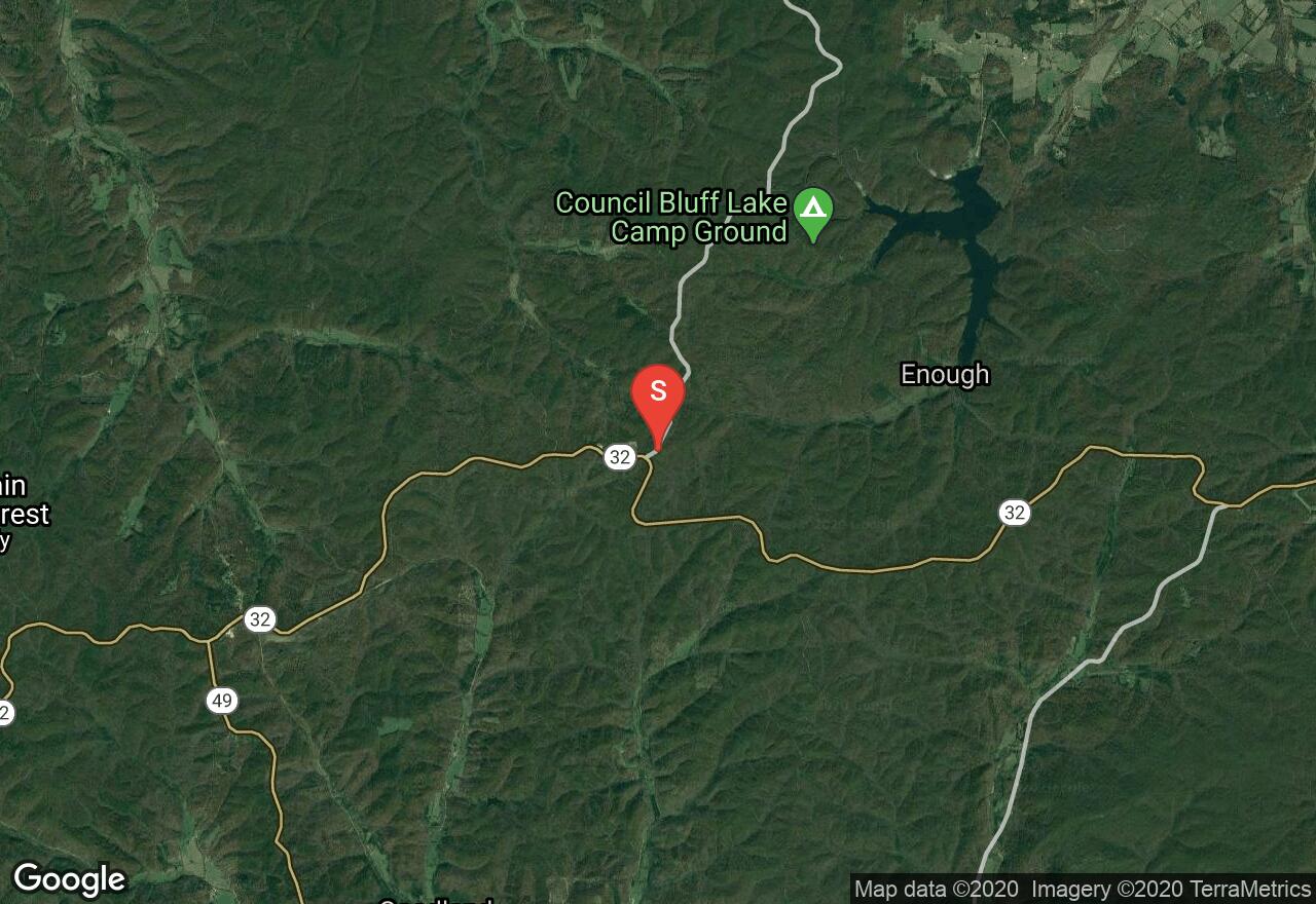
VIEW MAP
05 :54 hrs
12.3 mi
350 ft
Hard
Mountain Biking
This trail is truly in Ozark terrain. It is constantly going up and down, over a hill then down into a valley, and repeating over and over again. Some people compare it to trails in Colorado without the altitude. The trail is mainly a mix of small rocks and hard-packed sandy soil, with softer spots near the creek crossings. The trail continues on for approximately 13 more miles than what is mapped.
2 photos
Get the app

