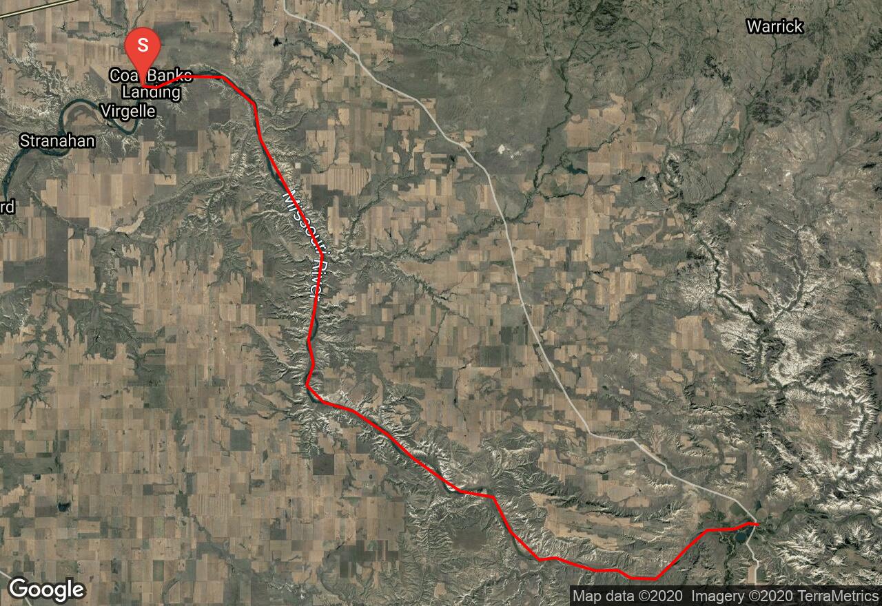
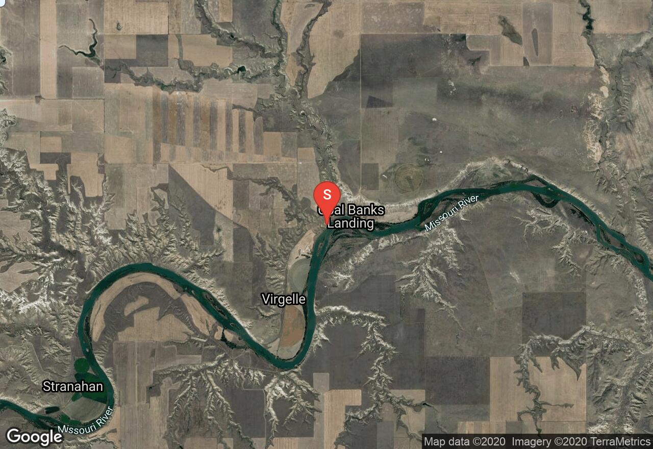
Missouri River: Coal Banks-Judith Landing
Chouteau County, Montana
Uploaded by Bivy Team
VIEW MAP
21 :04 hrs
47.1 mi
129 ft
I
Rafting
Kayaking
Canoeing
This section also knows as the “White Cliffs” area is the most popular floated segment of the upper Missouri River. It is part of the 149-mile National Wild and Scenic Rivers System. The river flows through a deep canyon of white-colored sandstone with towering 300 foot cliffs. Passing through 3 famous Lewis and Clark campsites where petro glyphs can still be seen and some old buildings from the early 1900’s. The well known “Hole-In-The-Wall” is located along this stretch. There are plenty of campsites that the BLM has designated.
2 photos
Get the app

