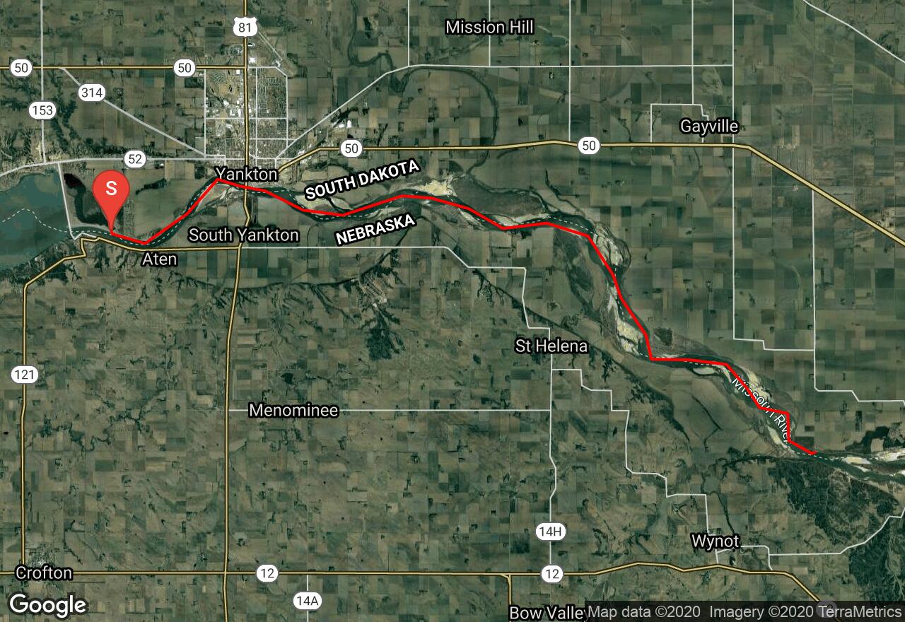
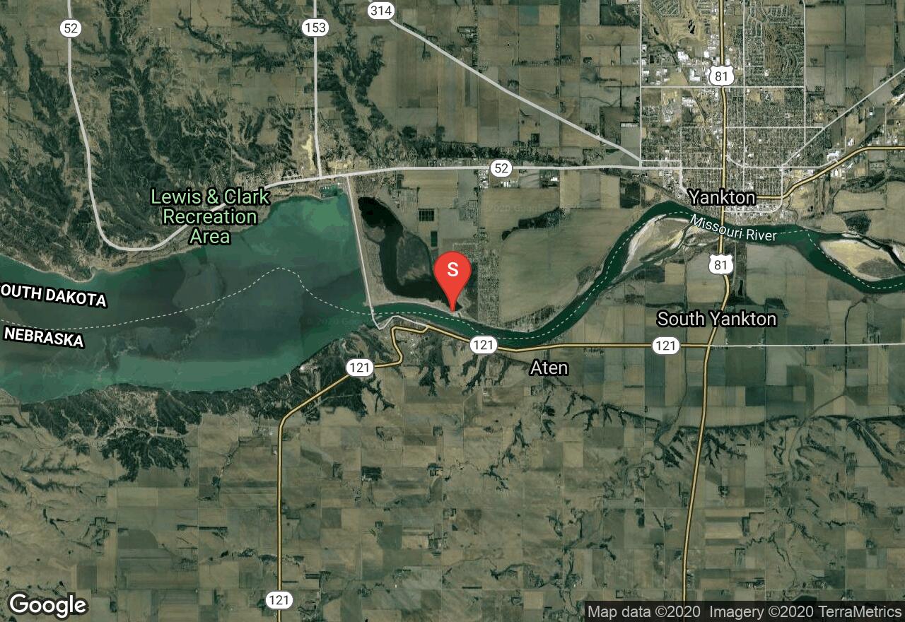
Missouri River: Gavins Point Dam to Myron Grove Access
Cedar County, Nebraska
Uploaded by Bivy Team
VIEW MAP
09 :25 hrs
22.2 mi
34 ft
II
Sea Kayaking
Kayaking
Canoeing
Two long sections of the Missouri River are listed on the National Register of Wild and Scenic Rivers and provide some excellent opportunities for experienced paddlers. This run covers part of the second section starting just below Gavins Point Dam and ending at a take-out at Myron Grove Access. The large river is prone to rough waters with wind and there are segments with strong currents that require skillful paddling. This section also has some large sandbars and islands to navigate around but they do provide some good camping spots. There are multiple alternate take-outs located along the run that can be used for emergency take-out or to customize a shorter trip if needed.
2 photos
Get the app

