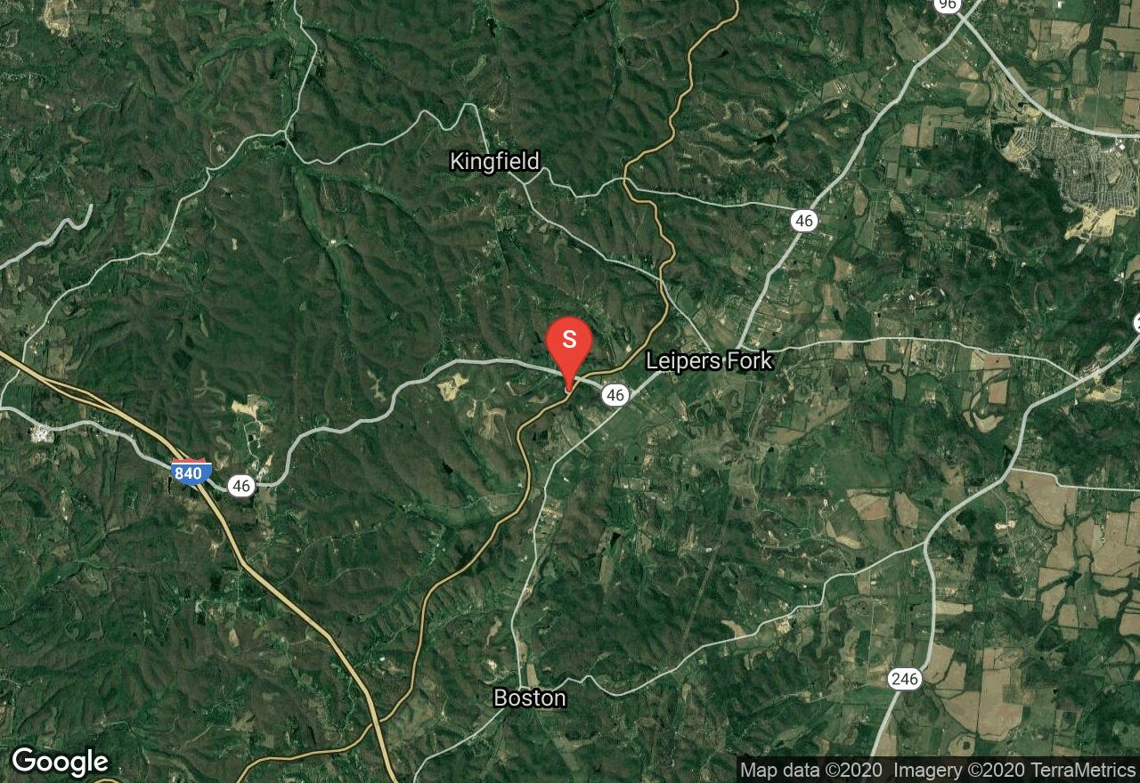
Natchez Trace Parkway: Hwy 46-Hwy 7
Williamson County, Tennessee
Uploaded by Bivy Team

VIEW MAP
02 :36 hrs
13.4 mi
285 ft
Hard
Road Biking
The Natchez Trace Parkway is a National Parkway in the southeastern United States that stretches 444-miles through Tennessee, Mississippi and Alabama. It is maintained by the National Park Service and is designated an All-American Road. Commercial traffic is prohibited and the speed limit is 50mph. This section begins near Leiper’s Fork at Hwy 46 and ends at Hwy 7 near Fly, Tennessee.
2 photos
Get the app

