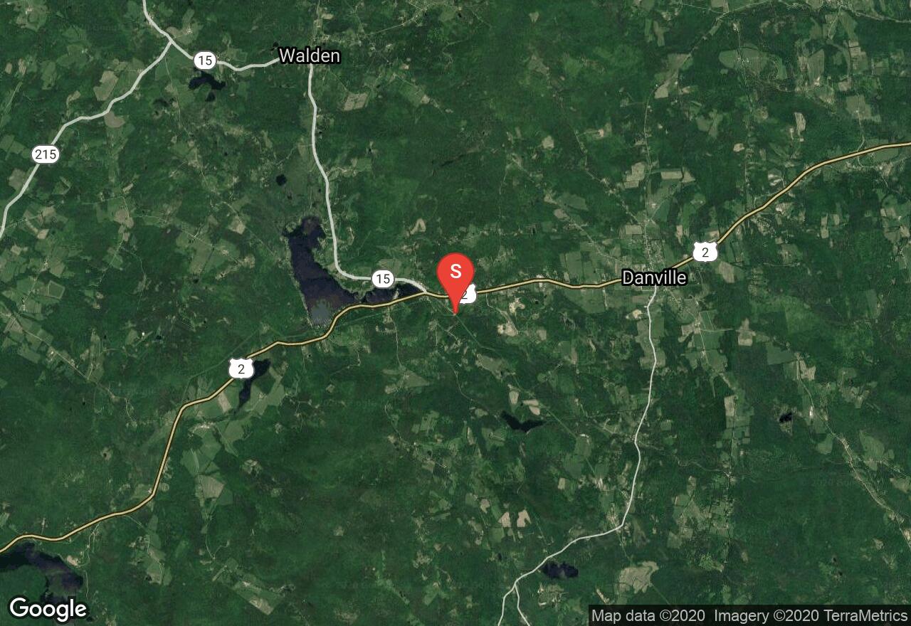
Joe's Brook: Power Plant to Greenbanks Hollow Rd. Bridge
Caledonia County, Vermont
Uploaded by Bivy Team
01 :37 hrs
4.5 mi
272 ft
V
This route begins next to the brook by a power plant in West Danville. While on this narrow brook, one will travel through densely wooded areas as well as encounter slides, ledges, and whitewater. Most of the whitewater is a class III difficulty, with higher water causing higher difficulty ratings. The water level varies and is not able to be paddled most of the year until there has been heavy rainfall or snow-melt in order for the dam to release. Contact Green Mountain Power after heavy precipitation for spillage amount over the dam. Parking at the put-in and take-out locations are limited along small roads and require one to find a suitable entry and exit point to and from the water.
2 photos
[{"url":"https://images.bivy.com/lgMap/5812399726657536.jpg"},{"url":"https://images.bivy.com/lgTrailMap/5812399726657536.jpg"}]
Joe's Brook: Power Plant to Greenbanks Hollow Rd. Bridge | Caledonia County, Vermont
This route begins next to the brook by a power plant in West Danville. While on this narrow brook, one will travel through densely wooded areas as well as encounter slides, ledges, and whitewater. Most of the whitewater is a class III difficulty, with higher water causing higher difficulty ratings. The water level varies and is not able to be paddled most of the year until there has been heavy rainfall or snow-melt in order for the dam to release. Contact Green Mountain Power after heavy precipitation for spillage amount over the dam. Parking at the put-in and take-out locations are limited along small roads and require one to find a suitable entry and exit point to and from the water.


