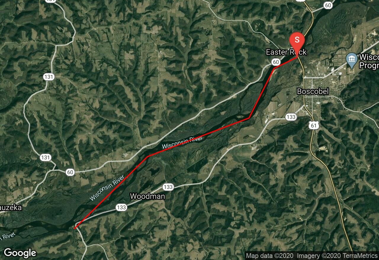
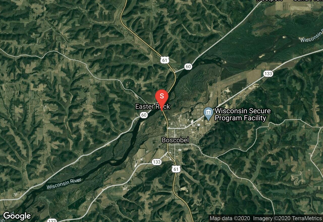
Wisconsin River: Boscobel - Woodman
Boscobel, Wisconsin
Uploaded by Bivy Team
03 :44 hrs
8.8 mi
14 ft
I
The Wisconsin River starts as a small stream near the Michigan border and flows south, then west for 430 miles before joining the Mississippi near Prairie du Chien. Many other smaller rivers and creeks join it along the way and make it a major American River. With 26 hydropower dams along its course it is called “The hardest working river in America.” This section and the next comprise the most secluded part of the Lower Wisconsin State Riverway. There is far less company from other boaters and it is very remote. However, it maintains the same level, or higher, of scenic beauty. Glacial meltwater cut through sandstone and limestone, resulting in many riverside bluffs reaching 300- to 400-feet in height. Big islands and many sandbars add to the scenic beauty.
2 photos
[{"url":"https://images.bivy.com/lgMap/5868512484524032.jpg"},{"url":"https://images.bivy.com/lgTrailMap/5868512484524032.jpg"}]
Wisconsin River: Boscobel - Woodman | Boscobel, Wisconsin
The Wisconsin River starts as a small stream near the Michigan border and flows south, then west for 430 miles before joining the Mississippi near Prairie du Chien. Many other smaller rivers and creeks join it along the way and make it a major American River. With 26 hydropower dams along its course it is called “The hardest working river in America.” This section and the next comprise the most secluded part of the Lower Wisconsin State Riverway. There is far less company from other boaters and it is very remote. However, it maintains the same level, or higher, of scenic beauty. Glacial meltwater cut through sandstone and limestone, resulting in many riverside bluffs reaching 300- to 400-feet in height. Big islands and many sandbars add to the scenic beauty.