Bears Tooth - Northeast Face
Fremont County, Wyoming
Uploaded by Bivy Team

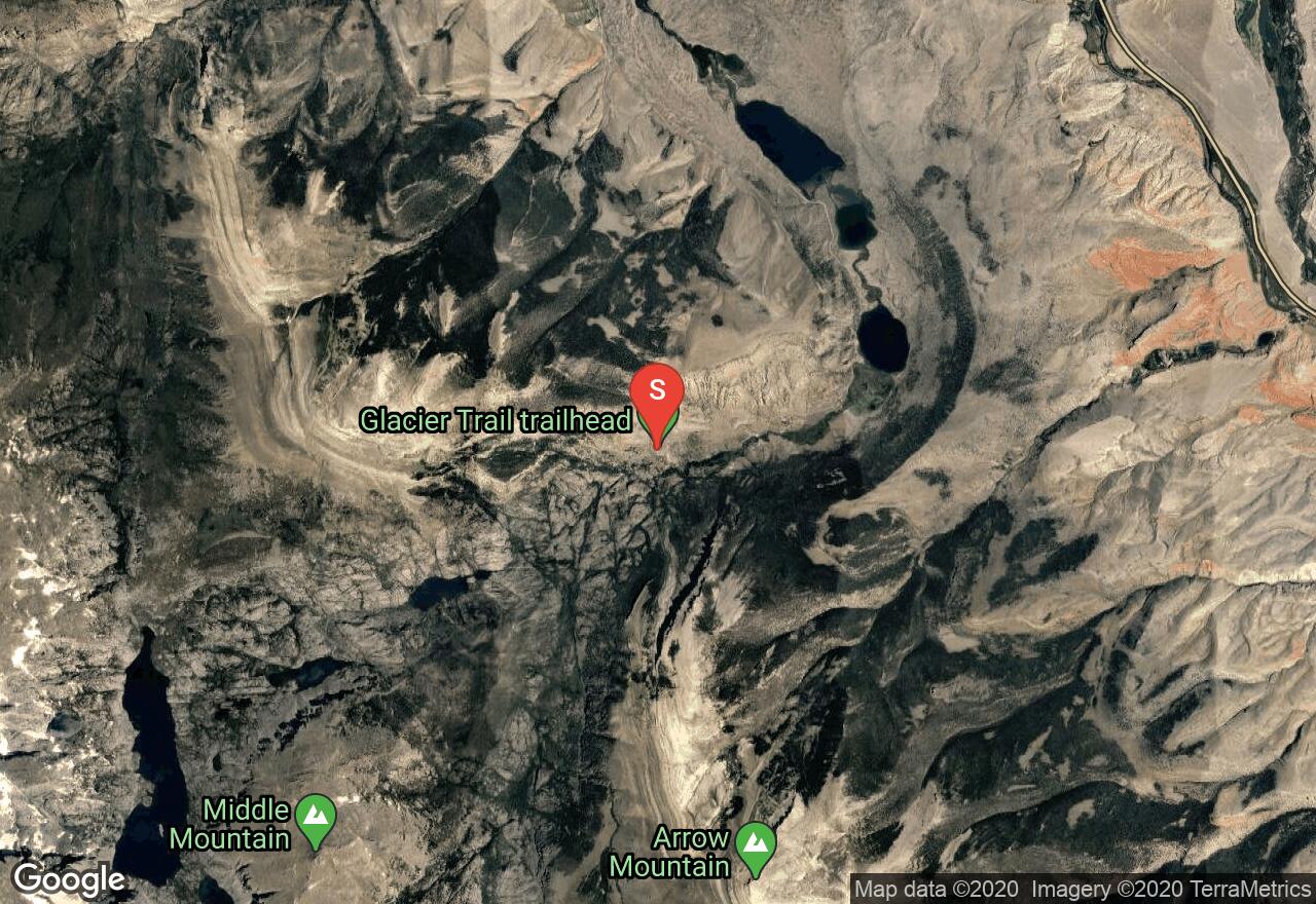
VIEW MAP
43 :04 hrs
20.9 mi
4679 ft
I
Mountaineering
Between Downs Fork and Grasshopper Creek, Bear's Tooth is a dark rock that is not easily accessible as it seems to be in the middle of nowhere and thus is not visited frequently. The route up Bear's Tooth was the first recorded route and uses the northeast face. This is a class 4 scramble to the top.
2 photos
Get the app

