![]()
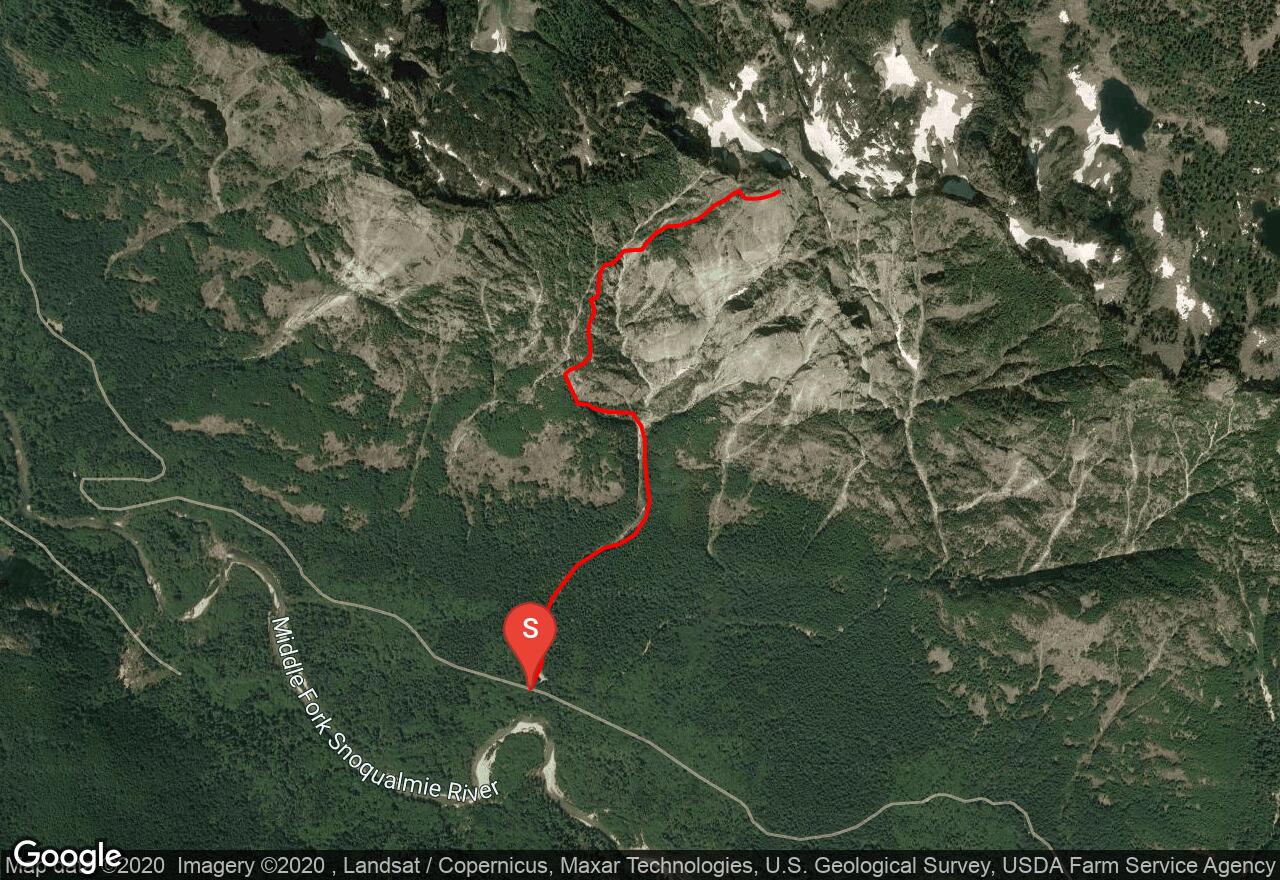
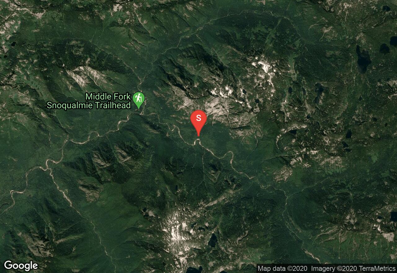
Mt Garfield: South Route
King County, Washington
Uploaded by Bivy Team
05 :53 hrs
1.6 mi
3238 ft
III
What Mt Garfield lacks in altitude, it makes up for in technical challenge and difficulty of access. The lower mountain is a maze of thick forest and loose rock gullies, while the upper mountain is mostly made of potentially treacherous slabby rock, sometimes covered with loose forest debris. The approach follows a gravel stream bed to an obvious loose dirt slide on the left. Follow this slide or the ledges to its north to the base of some large rock slabs. Ascend the slabs at the far end and continue up a forested ridge, dodging the steep rock ribs that break through it. Near 3,850 feet is a traverse right to a steep gully with two parallel channels. Descend slightly into the gully and climb the right gully to the col beneath the summit. There are several places where the gully narrows to a chimney. This upper section in the gully is Class 4. From the col, it's a Class 3-4 scramble to the summit. This route should not be attempted in wet conditions or in winter in anything but perfectly stable snow conditions. It's advisable to wear long pants. Bring two ropes for a double-rope rappel. III.
2 photos
[{"url":"https://images.bivy.com/lgMap/481036.jpg"},{"url":"https://images.bivy.com/lgTrailMap/481036.jpg"}]
Mt Garfield: South Route | King County, Washington
What Mt Garfield lacks in altitude, it makes up for in technical challenge and difficulty of access. The lower mountain is a maze of thick forest and loose rock gullies, while the upper mountain is mostly made of potentially treacherous slabby rock, sometimes covered with loose forest debris. The approach follows a gravel stream bed to an obvious loose dirt slide on the left. Follow this slide or the ledges to its north to the base of some large rock slabs. Ascend the slabs at the far end and continue up a forested ridge, dodging the steep rock ribs that break through it. Near 3,850 feet is a traverse right to a steep gully with two parallel channels. Descend slightly into the gully and climb the right gully to the col beneath the summit. There are several places where the gully narrows to a chimney. This upper section in the gully is Class 4. From the col, it's a Class 3-4 scramble to the summit. This route should not be attempted in wet conditions or in winter in anything but perfectly stable snow conditions. It's advisable to wear long pants. Bring two ropes for a double-rope rappel. III.