Best Snowshoeing in New Mexico
Trying to find the best snowshoeing in New Mexico? Bivy has great hiking, biking, paddling, climbing, skiing, riding and more, with hand-curated trail maps, as well as detailed driving directions.
New Mexico, Santa Fe
14 :11 hrs
8.9 mi
780.01025 ft
Extreme
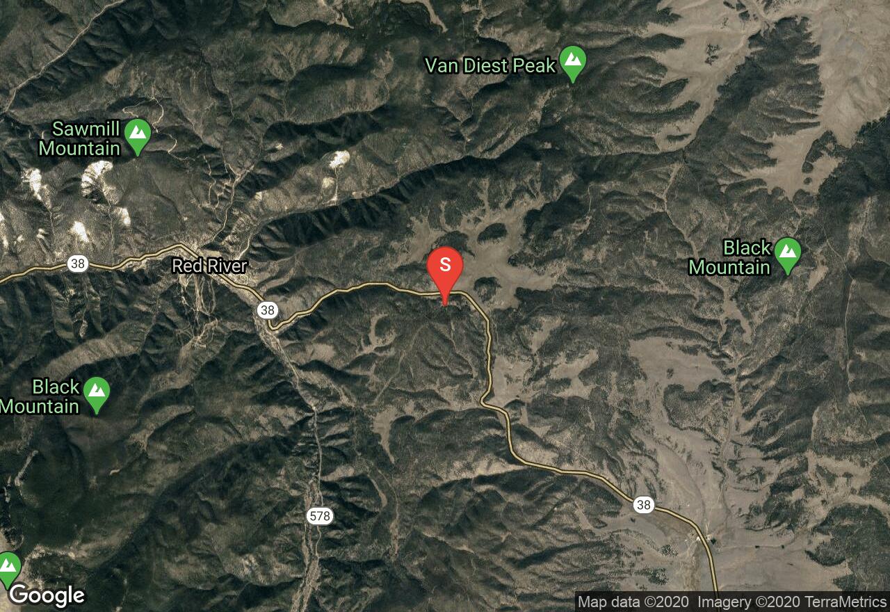
Pacheco Canyon Road is a forest service road that closes down seasonally. Once there is enough snow, head out there for a great snowshoeing or cross country skiing trip. If you chose to snowshoe, you can make it down and back the entire way, or as long as you wish. It is recommended if you are cross country skiing, to turn around roughly 3 miles in at the junction up to the Rio en Medio. This is a beginner ski route and is not groomed.
New Mexico, Santa Fe
03 :09 hrs
5.9 mi
622.57324 ft
Easy
Aspen Vista Road is a service road that requires no technical skills, just a strong pair of lungs. The parking lot is located at 10,000 feet and you will be climbing the whole way up to the summit of Tesuque Peak - if you aren't acclimated to the altitude, this one will burn. Summer will bring ample wildflowers but also mid-afternoon thunderstorms, so be prepared. Fall, on the other hand, has much more stable weather and you can enjoy the changing colors of the trees. Once you reach the top, you will be rewarded with amazing views in all directions. This road will also connect you to a bunch of other single track routes at the top, so bring a map and enjoy the area.
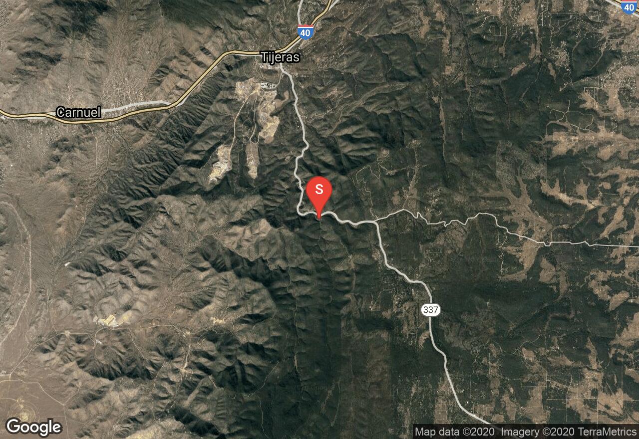
New Mexico, Bernalillo County
01 :56 hrs
7 mi
193.85498 ft
Hard
Otero Canyon offers up some great single track that travels through a colorful limestone canyon with some strenuous climbing at the beginning and a rewarding, technical downhill at the end. You will mainly be travelling through pinon-juniper forest with some wetters areas down on the canyon floor. Most of the ride is on hard packed trail, but there are some loose, rocky sections that can be difficult to navigate. There are many different trail options once you get to the top, so be vigilant if you want to stick to this route. Also, be aware of federal land and no trespassing signs.
New Mexico, Taos County
02 :52 hrs
5.2 mi
79.54761 ft
Hard
Enchanted Forest Cross Country Ski Area has over 30k of cross country ski trails & 15k of snowshoeing trails. There is even an area where you can ski or snowshoe with your dog! The trail depicted here is the large outside loop around the facility, with well groomed trails. There are lots of trails in between, as well as backcountry if that suits you. There are a few very difficult trails but everything is very well marked so you shouldn't have a hard time sticking with your skill level. The fee is $15/day and there are rentals, as well as yurts if you'd like to make it a more extended stay.
New Mexico, Cibola County
04 :11 hrs
6.4 mi
601.83813 ft
Hard
2500 foot ascent of one of 4 sacred Navajo peaks.
New Mexico, Taos Ski Valley
10 :54 hrs
7.2 mi
1112.376 ft
Extreme
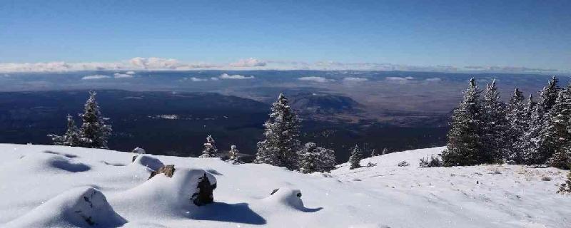
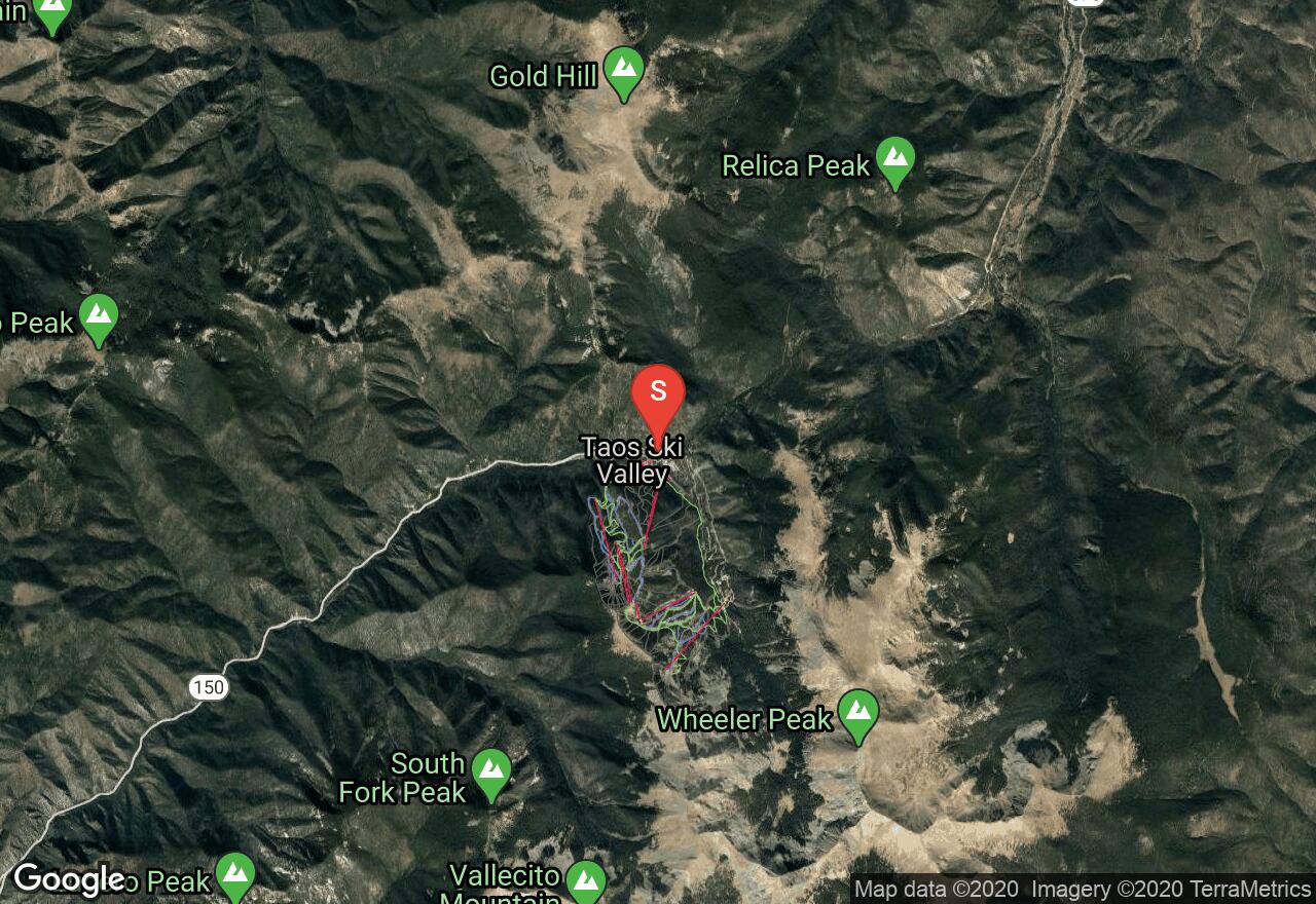
Wheeler Peak is the highest point in New Mexico, towering at 13,161 feet above sea level. This trail, via Bull of the Woods mountain, is a long hike but fairly easy, with little climbing. The trailhead is easily accesible from the Taos Ski Valley area and will take you directly to the summit, winding through some of the highest alpine terrain in the country. Due to the high altitude, watch out for afternoon thunderstorms in the summer, and snow in the fall, winter, and spring.
New Mexico, San Miguel County
08 :01 hrs
6.4 mi
799.7854 ft
Expert
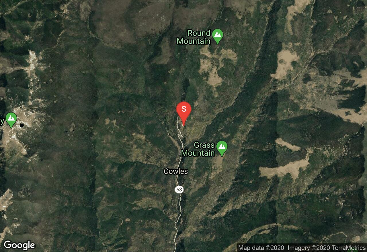
Late summer is the best time to enjoy this trail up to Pecos Baldy Lake, located at the base of Pecos Baldy Peaks. Park at Jack's Creek Campground ($2 fee) and head on up to Trail 257. This trail takes you through amazing mountain scenery, with wildflowers and shimmering aspens, up to a pristine high alpine lake. Bighorn sheep frequent the area, and have actually been known to be a bit of a nuisance up by the lake. This trail is heavily travelled, so be prepared for fellow hikers, and keep an eye out for afternoon thunderstorms - the terrain is rather exposed. This trail is located in the Pecos Wilderness, so mountain bikes are not allowed.
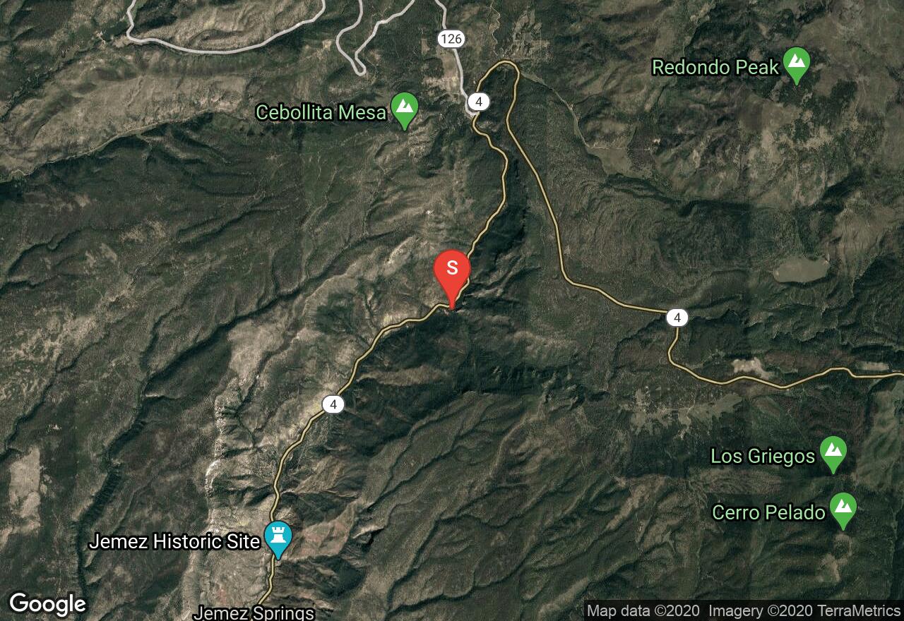
New Mexico, Sandoval County
04 :03 hrs
3.5 mi
356.15454 ft
Hard
This trail starts out at the Battleship Rock, a 200 foot tall formation of welded volcanic ash, that also sports an impressive 25 foot waterfall if you take the short foot path from the north end of the picnic area. Follow the signs for trail 137, which will lead you from the base of the canyon where the East Fork of the Jemez River runs, steadily up the side of the canyon until you reach the popular McCauley Hot Springs. These springs are not very hot, so can even be an enjoyable dip in the summer - each pool is a different temperature, so be sure to try them all! Beyond the last pool of the hot springs, the trail continues upwards through pine forests, giving you views of the volcanic canyon below. Once you reach the Jemez Falls parking area, follow the signs that lead to falls viewing area. You can also take a small footpath, scramble down closer to the water. You could also do this trail as a one-way shuttle, if you park a car at the Jemez Falls parking area.
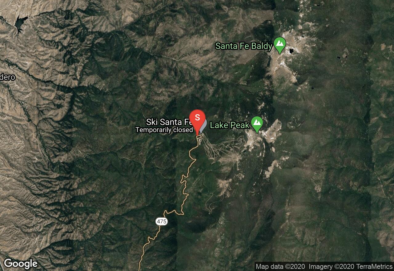
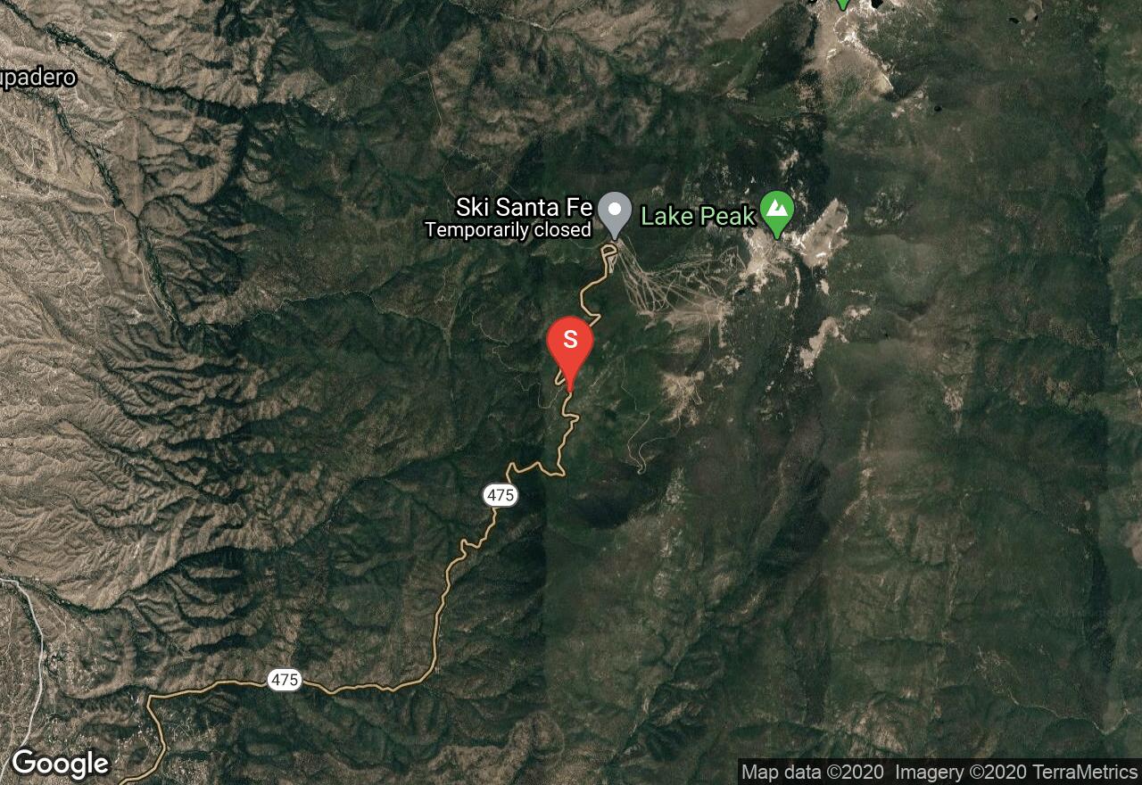
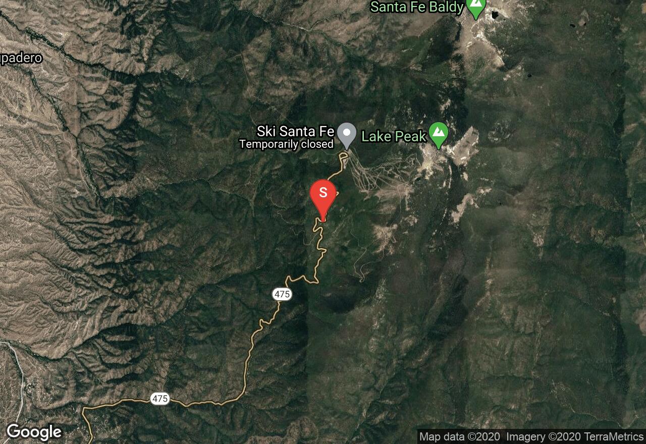
New Mexico, Santa Fe
09 :34 hrs
7.5 mi
437.69727 ft
Extreme
Lake Katherine lies at the base of Santa Fe Baldy and is one of the highest lakes in New Mexico at 11,742 feet. Starting at the Santa Fe Ski Area parking lot, hop onto the Windsor Trail and hike until you reach the Skyline trail, which will take you all the way to the lake. This is a fairly strenuous hike gaining a good amount of elevation, and is part of a much larger trail network in the Pecos Wilderness. The trail winds through pine and aspen groves and can be hiked year round, even where there is significant snow pack. The trailhead is only 30 minutes from downtown Santa Fe, which makes it an ideal weekend hiking spot. All trails are very well marked in the area. You can make this trail a loop by hiking up a very steep scree slope to the top of Santa Fe Baldy (getting some spectacular views) and then back out the way you came.
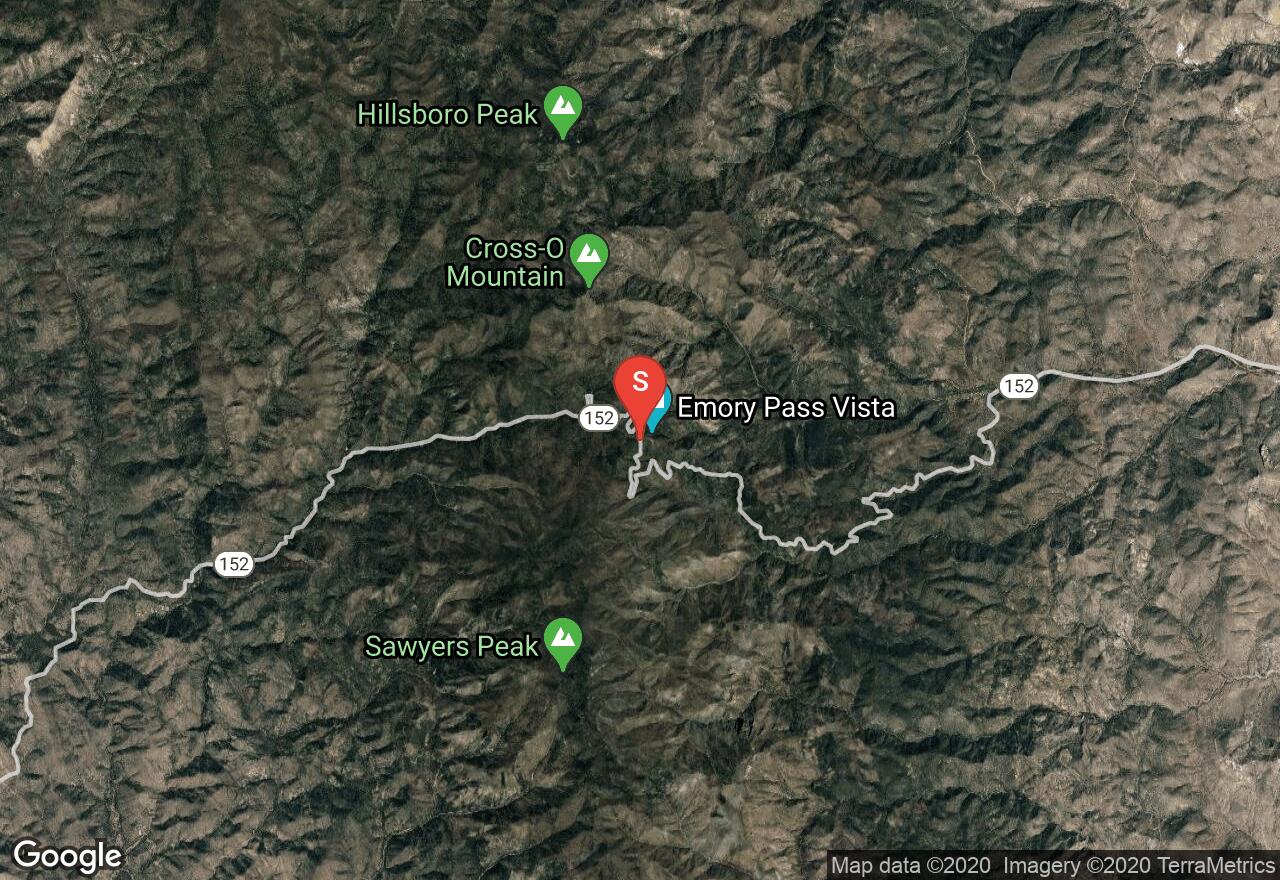
New Mexico, Sierra County
05 :33 hrs
4.6 mi
560.7031 ft
Expert
The Crest Trail that leads up to Hillsboro Peak is well designed to keep a nice, moderately steep pitch, making this 10 mile out-and-back hike not too difficult. The trail begins at the vista parking lot at Emory Pass, which in itself has fantastic views below, as well as a few amenities, like toilets. You will stroll through open coniferous forest, enjoying wildflowers along the way, with continually great views. Once you reach Hillsboro Peak, you'll have a fantastic view from the lookout towers, also giving you a fine place to camp, if you so choose. There may be snow lingering along the trail in late spring, but nothing that should block your way. Because this hike is in the wilderness, no mountain bikes are allowed.
See more adventures..
Explore complete list
Explore nearby adventures

