Styles.ec1e20f1fbaef179e0af.css in Wichita Mountain National Wildlife Refuge
Trying to find the best in Wichita Mountain National Wildlife Refuge ? Bivy has great hiking, biking, paddling, climbing, skiing, riding and more, with hand-curated trail maps, as well as detailed driving directions.
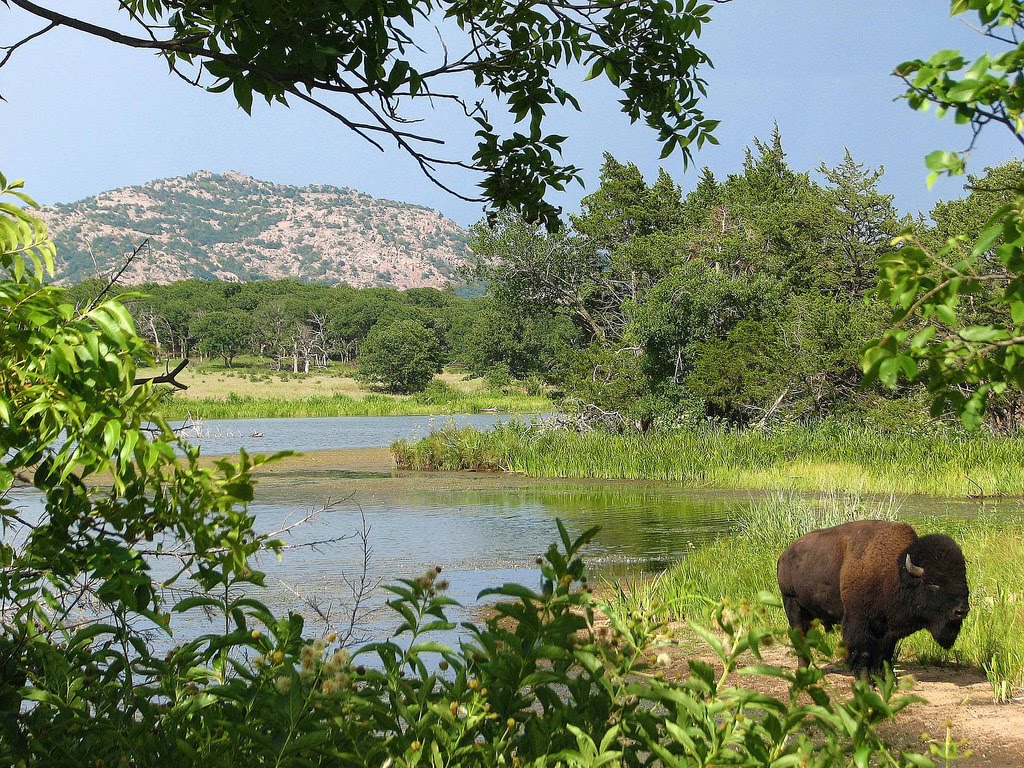
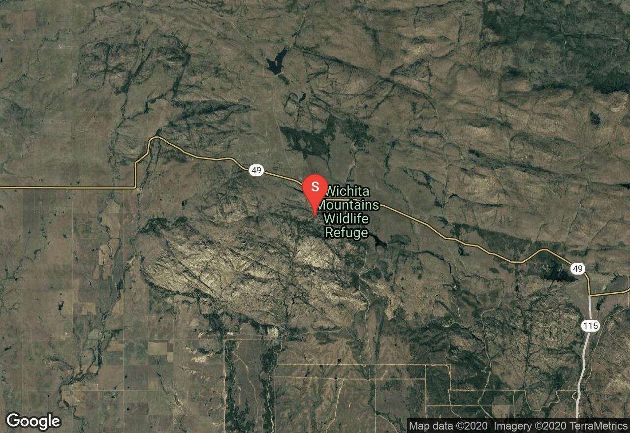
Oklahoma, Lawton
01 :11 hrs
3.2 mi
48.322784 ft
Moderate
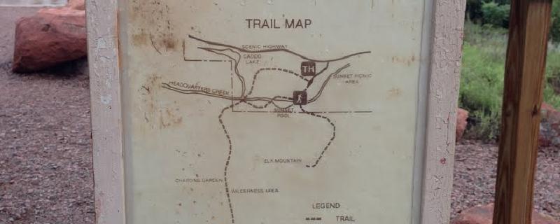
Begins as you cross the bridge over the middle of Sunset pool. The trail follows the usually-dry creek bed until turning south up and and out of the creek bed. To complete the loop turn sharp right when the trail converges with the Treasure Lake Trail. This will take you north-west past the boulder field and to the trailhead - the trail is not as well established on this leg of the route.For Post Oak Falls: continue south rather than turning north at the end of the loop. Continue South for approx. .35 miles then turn left into the small canyon. Rattlesnakes and Copperhead Snakes are active during the summer months. Rattlesnakes and Copperhead Snakes are active during the summer months.
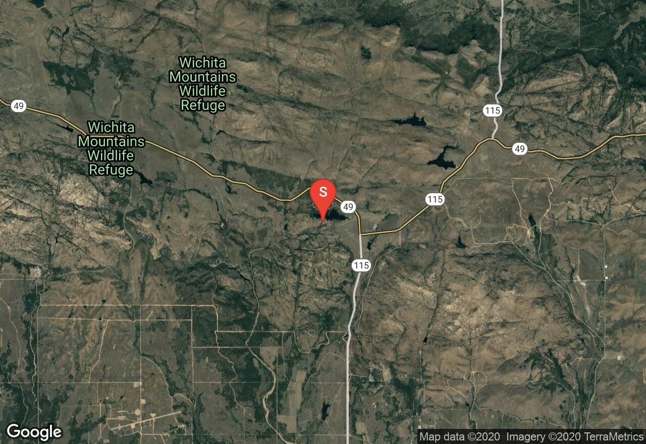
Oklahoma, Comanche County
00 :15 hrs
0.4 mi
49.62738 ft
Easy
This trail reaches the summit of Mount Baldy by way of the Quanah Parker Lake Dam. Watch for cacti, rattlesnakes, and the occasional collared lizard.
Oklahoma, Comanche County
01 :18 hrs
1.2 mi
170.01901 ft
Moderate
Located in the Wichita Mountains National Wildlife Refuge, this trail begins near the Sunset pool bridge. It is well marked but occasionally forks. Remaining on the best marked path will avoid diversion. French Lake is visible to the northeast as is Mount Scott. Watch for Prickly Pear cactus.

Oklahoma, Comanche County
00 :31 hrs
0.8 mi
111.8074 ft
Easy
This trail begins at the Boulder camp and picnic area, just to the right of the native stone building. The trail is rock-strewn, so expect to do some scrambling and boulder-hopping on your way to the summit. This approach is less travelled than the Boulder Wash or Big Rock Trails, so be sure to keep an eye out for the trail which may be lightly tread or non-existent in places. The last leg of the approach may result in some bushwhacking as you reach the summit.

Oklahoma, Comanche County
00 :28 hrs
1.1 mi
35.201294 ft
Easy
This trail follows West Cache Creek from the trailhead to Lost Lake. It is possible and recommended to drop down into the canyon to closer observe the riverbottom via the side-trails. Elevation changes are minimal. Snakes and cacti are common in the area.
Oklahoma, Comanche County
01 :55 hrs
5.3 mi
65.25827 ft
Hard
Part of the Dog Run Hollow Trail system, the Buffalo Trail follows the outer edge of the system. Being the longest trail of the system, it often crosses and intersects other trails. This trail is often faint, so generally keep to the left and watch for the buffalo signs posted for the first half of the trail.
Oklahoma, Comanche County
00 :27 hrs
0.5 mi
25.615387 ft
Easy
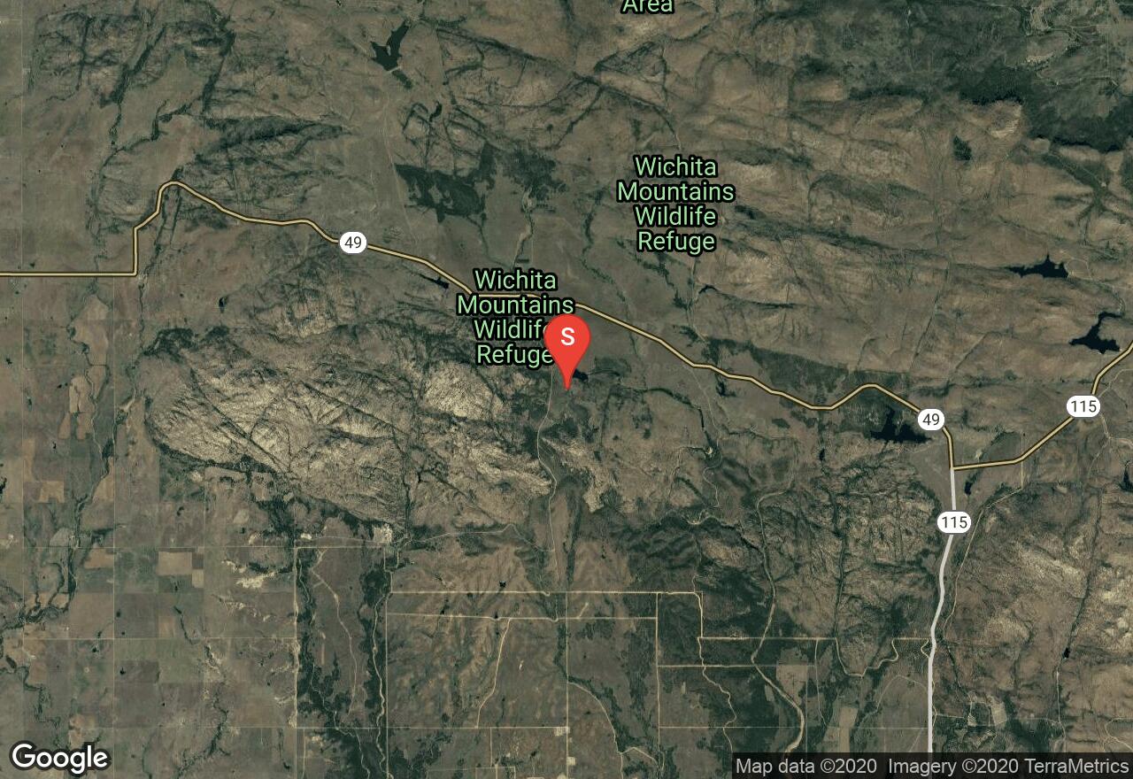
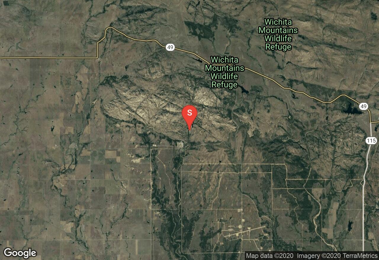
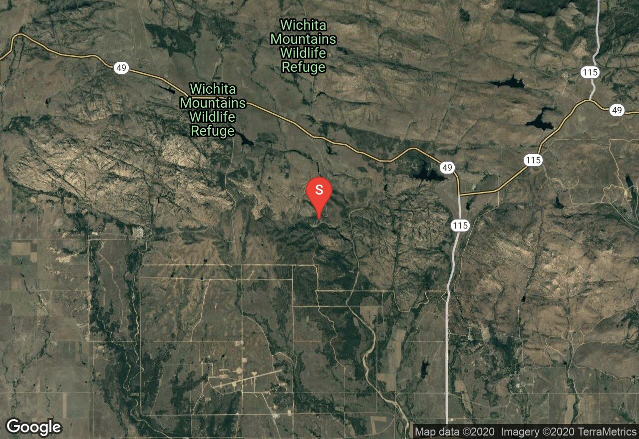
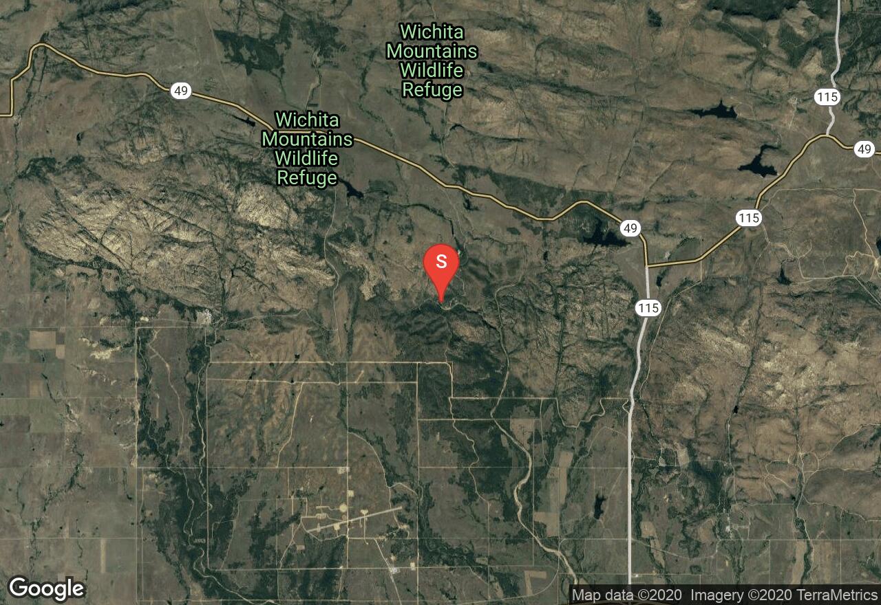
This route leads to the natural Spanish Cave. There is no prescribed path to get to the cave, so prepare for some bushwhacking and rock-hopping as you make your way through the scenic Wichita Mountains.

Oklahoma, Comanche County
00 :28 hrs
0.7 mi
110.497894 ft
Easy
This trail begins at the Boulder camp and picnic area, just to the right of the native stone building. The trail is rock-strewn, so expect to do some scrambling and boulder-hopping on your way to the summit. Because the trail may not be well tread, the last leg of the approach may result in some bushwhacking as you reach the summit.
Oklahoma, Comanche County
00 :28 hrs
0.7 mi
116.867004 ft
Easy
This trail begins at the Boulder camp and picnic area, just to the right of the native stone building. The trail is rock-strewn, so expect to do some scrambling and boulder-hopping on your way to the summit. Because the trail may not be well tread, the last leg of the approach may result in some bushwhacking as you reach the summit.
Oklahoma, Comanche County
00 :22 hrs
1 mi
23.690948 ft
Moderate
This trail leads to the northwest end of Narrows Canyon by following West Cache Creek. It is possible and recommended to drop down into the canyon before reaching this main river depression to closer observe the riverbottom via the side-trails. Unfortunately swimming is prohibited in this natural swimming hole, but there are interesting areas to explore in the surrounding landscape. Elevation changes are minimal. Snakes and cacti are common in the area.
See more adventures..
Explore complete list
Explore nearby adventures

