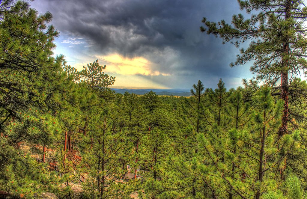
Trail Running in South Dakota
Trying to find the best running in South Dakota? Bivy has great hiking, biking, paddling, climbing, skiing, riding and more, with hand-curated trail maps, as well as detailed driving directions.
South Dakota, Pennington County
03 :02 hrs
6.7 mi
5.199829 ft
I
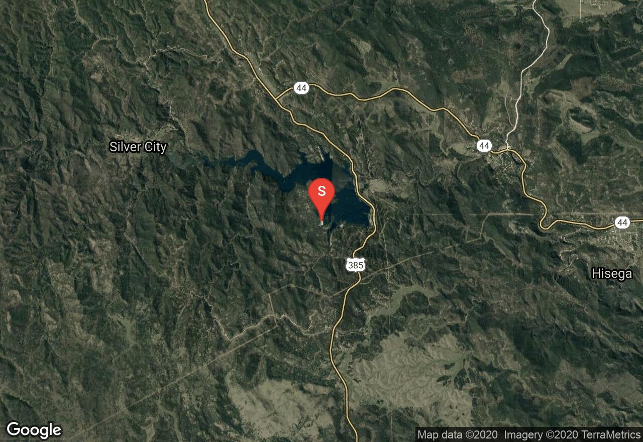
This 780 acre lake is the largest and deepest water body in the Black Hills area at about 150 feet in depth. The southern access begins starts at the Pactola Campground off Custer Gulch Road. Brown and Rainbow trout, along with largemouth bass are primary found while fishing here. There is a $5 vehicle day use fee, and rentals are available at the full service marina store on the northern side of the reservoir.
South Dakota, Pennington County
00 :21 hrs
0.9 mi
36.0542 ft
Easy
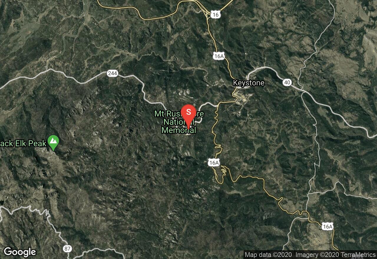
Mount Rushmore National Memorial is one of the most iconic sites in the United States, and is visited by nearly 3 million people each year. The Presidential Trail is a traditional boardwalk that will get you closer to the base of monument, offering spectacular views. You'll definitely enjoy this short hike with family and learn a lot about the history of America's founding fathers. There is an $11 parking fee required for each vehicle.
South Dakota, Marshall County
03 :16 hrs
7.3 mi
2.9365234 ft
I
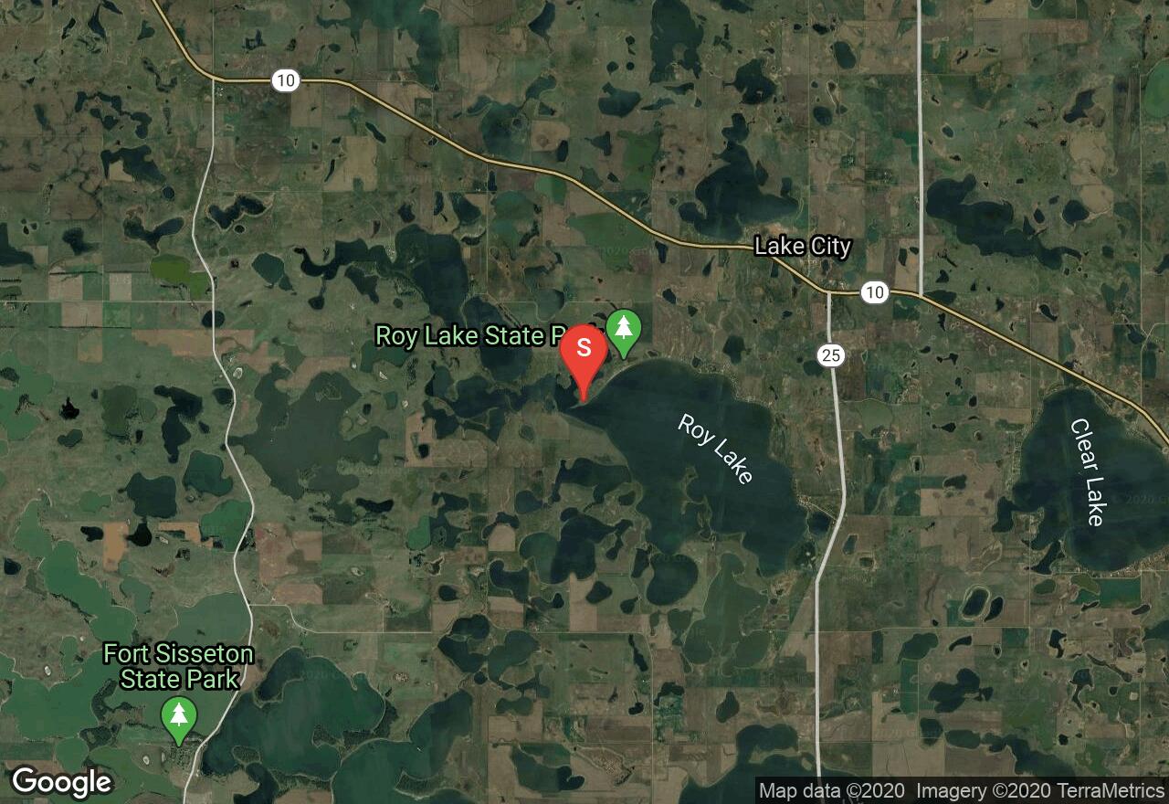
Located in Marshall County, this 2,000 acre waterbody has about 4 miles of shoreline and an average depth of 10 feet. Large burial mounds were once a part of the lake's history, and then the Roy family built a settlement and planted crops along the lakeshore. Roy Lake State Park is now a popular fishing spot where visitors will be able to enjoy sandy beaches, picnic areas, boat ramps, shoreline trails, and camping. The resort also offers cabins and condos, along with fising trips and rentals. There is a $6 day use fee required for each vehicle.
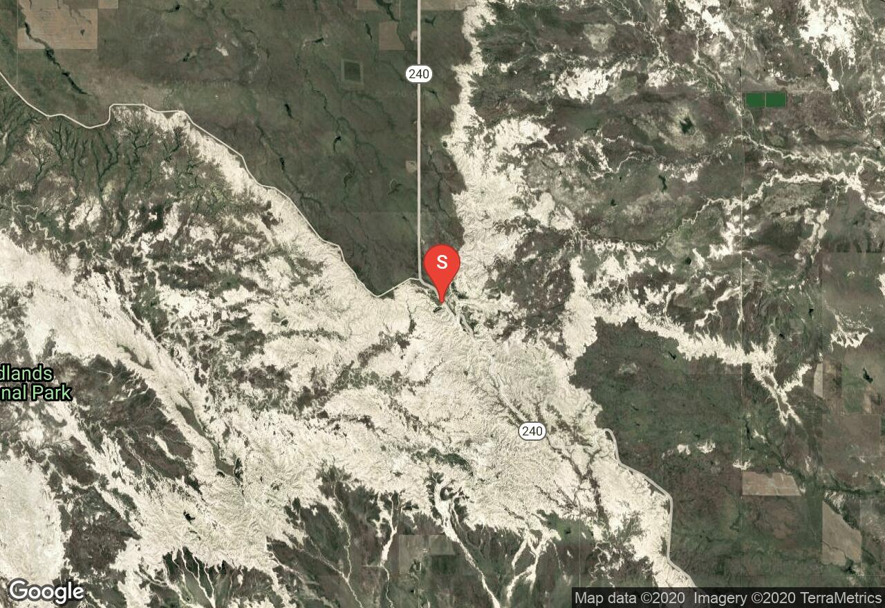
South Dakota, Pennington County
01 :54 hrs
21.8 mi
245.64111 ft
Hard
Bicycling through the Badlands provides riders with excellent views of the dramatic and impressive scenery the park has to provide. This ride follows the main park road for almost 22 miles, passing multiple overlooks and points of interest along the way. The downhill route requires a shuttle between the start at the Pinnacle Overlook and end of the ride at the Ben Reifel Visitor Center. The park road does see a lot of traffic during peak season, and is steep and narrow in sections, so extreme caution is required at times. The ride can easily be shortened by starting a shorter distance from the visitor center.
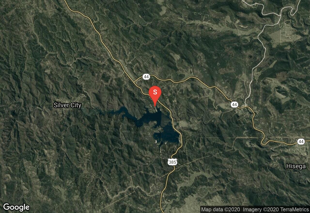
South Dakota, Pennington County
03 :18 hrs
7.3 mi
10.0998535 ft
I
Pactola Reservoir is the largest and deepest water body in the Black Hills area. This route starts at the Pactola North boat launch area, which is located off highway 385 and about 15 miles west of Rapid City. The marina is considered a heavily used area, especially on the weekends. There is a $5 vehicle day use fee, and rentals are available at the full service marina store.
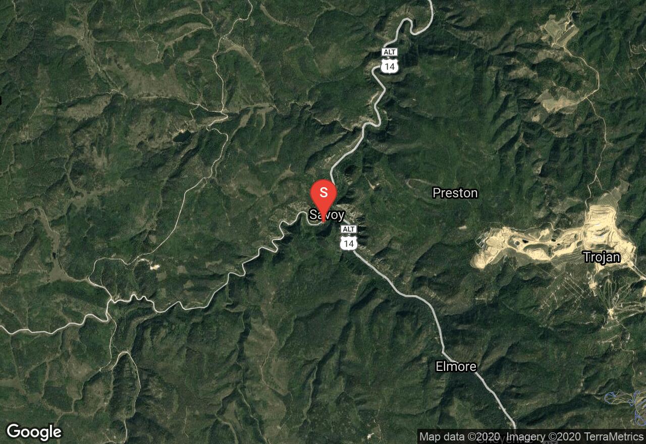
South Dakota, Spearfish
00 :46 hrs
0.9 mi
38.13513 ft
Easy
This is a short route that goes along Spearfish Creek on relatively flat terrain. The tree-lined trail is wide and has easy access for all visitors to enjoy the spectacular water fall views. You'll want to park at the parking area on the left side of the road when you're traveling south from Savoy.
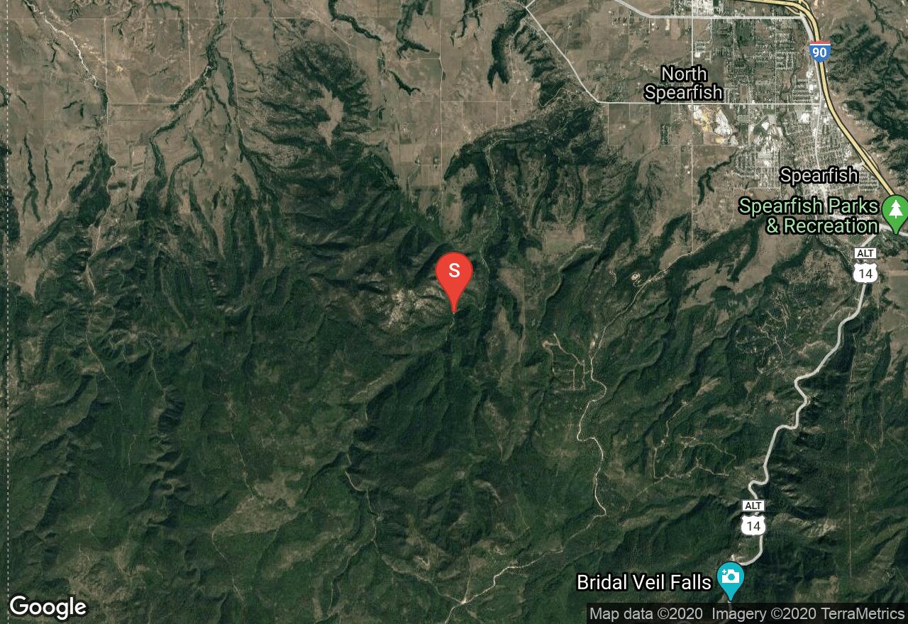
South Dakota, Spearfish
03 :46 hrs
3.2 mi
473.2876 ft
Hard
Crow Peak has its name because of a historic battle that involved the Crow and Sioux Indians. The trail is heavily used and it can be accessed off Higgins Gulch Road in the Black Hills National Forest. You'll through ponderosa pine trees and vegetation that comprised of native bushes and bur oak. The route has gradually climbs the southwestern portion of the mountain and reaches the rocky peak, offering amazing views of the surrounding hills. Be cautious of late spring snow and be sure to bring plenty of water and supplies.
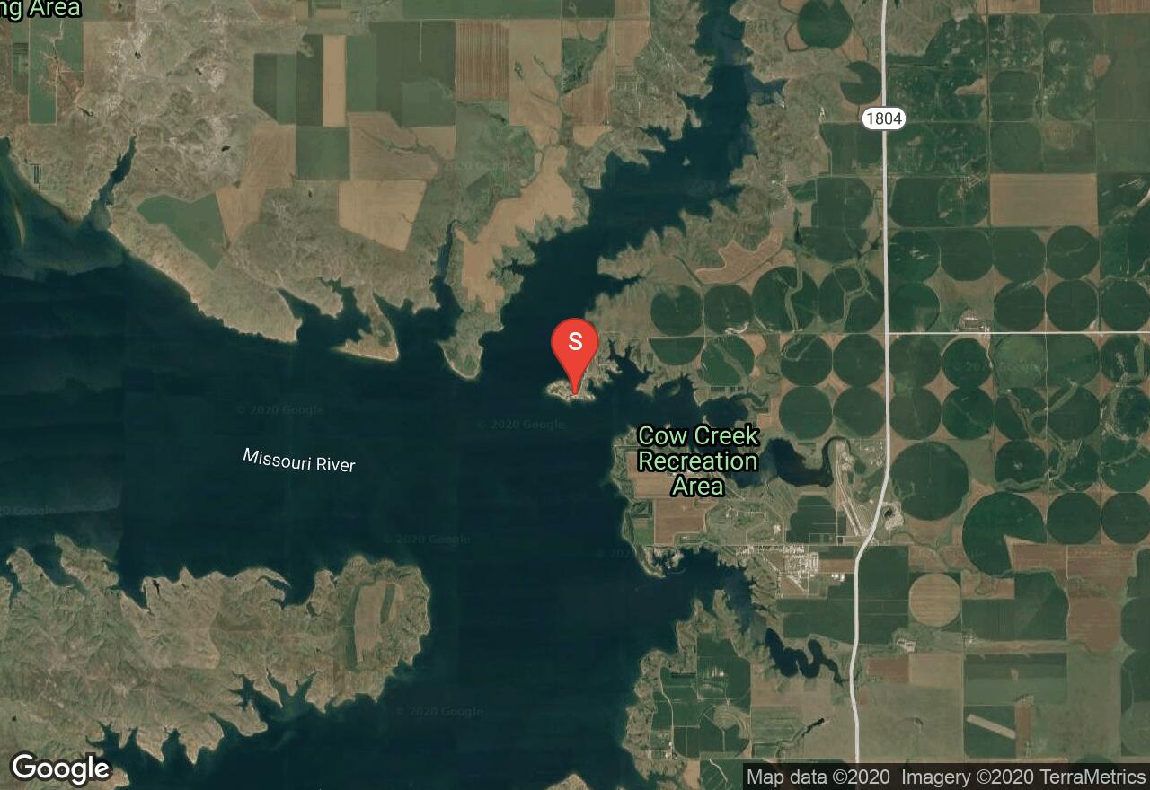
South Dakota, Sully County
02 :42 hrs
6 mi
10.929962 ft
I
Okobojo point is located northwest of Pierre, and is accessed off SD 1804 to 194th Street. Visitors are offered some of the best views of the Missouri River and its surroundings. The shoreline has one of the longest sandy beaches on Lake Oahe, giving plenty of land and water activities for the whole family. Not only is there a beach, but there are also campsites, a picnic shelter, a boat ramp, drinking water, and toilets. There is a $6 day use fee required for each vehicle.
South Dakota, Sully County
01 :59 hrs
4.4 mi
5.502716 ft
I
The Oahe Dam on the Missouri River results in a large reservoir that begins in central South Dakota and continues north into North Dakota. West Bend Recreation Area offers a protected marina with easy boat launching for all watercrafts. There are also a lot services and facilities that accommodate for several land and water activities. Walleye, northern pike, catfish and chinook salmon are primarily stocked in the lake. There is also a $6 day use fee required for each vehicle.
South Dakota, Lawrence County
02 :01 hrs
8.5 mi
317.7577 ft
Moderate
This route starts at the Englewood Trailhead at Brownsville Road and travels northward all the way to the end of the Mickelson Trail at Deadwood. You'll start out going alongside Whitewood Creek and traverse downhill through narrow canyons while enjoying views of the Homestake Gold Mine. There are also three other trailheads that are stationed between Englewood and Deadwood. Be sure to purchase a Mickelson Trail pass at a self-service station along the trail or online.
See more adventures..
Explore complete list
Explore nearby adventures

