Best Mountain Biking in New River Gorge
Trying to find the best mountain biking in New River Gorge ? Bivy has great hiking, biking, paddling, climbing, skiing, riding and more, with hand-curated trail maps, as well as detailed driving directions.
West Virginia, Fayette County
00 :59 hrs
3.8 mi
31.746094 ft
Hard
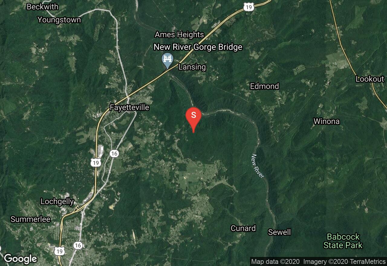
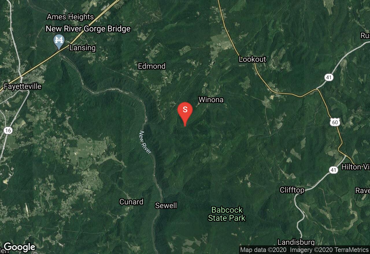
The Clovis Trail and Adena Trail are part of the many trails in the Arrowhead Trail System of the New River Gorge National River. The Clovis trail is the shortest loop of the system and is relatively flat with minimal elevation changes. This trail is excellent for all skill types, it has no obstacles and has the option to loop around instead of connecting to the Adena Trail. The Adena Trail is the middle loop of the Arrowhead Trails. This trail loops through the forest on low-grade swooping dips with slight uphill and downhill sections. It has a few rock surfaces with wide turns and switchbacks. This trail loop can be traveled in either direction.
West Virginia, Fayette County
01 :49 hrs
7 mi
36.493652 ft
Hard
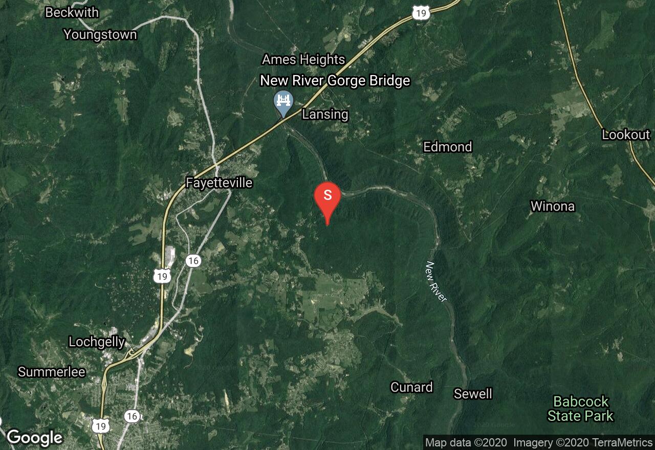
The Dolton Trail is part of the Arrowhead Trail System of the New River Gorge National River. This is a narrow trail with some moderate elevation changes. Expect to encounter small obstacles along the trail including rocky sections and tight turns. There are sections where the trail travels along a ridge line as well as through tunnels of rhododendrons and thick forest. This trail’s design has a nice flow and is also used by runners.
West Virginia, Fayette County
01 :03 hrs
2.1 mi
19.247314 ft
Hard
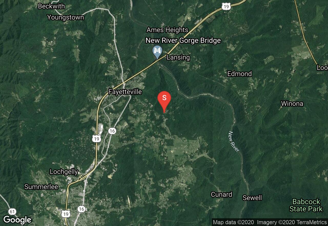
The Lacoy Trail is part of the Arrowhead Trail System of the New River Gorge National River. This is a narrow trail with some moderate elevation changes. This trail has some minor rocky areas and sweeping corners, as well as a challenging rock bridge over a small drain. There are sections where the trail travels through tunnels of rhododendrons and thick forest. The trail’s design has a nice flow and is also used by runners. The Lacoy Trail connects to Dolton Trail, there is the option to continue on Dolton Trail to create a loop.
West Virginia, Fayette County
01 :49 hrs
3.7 mi
188.13013 ft
Moderate
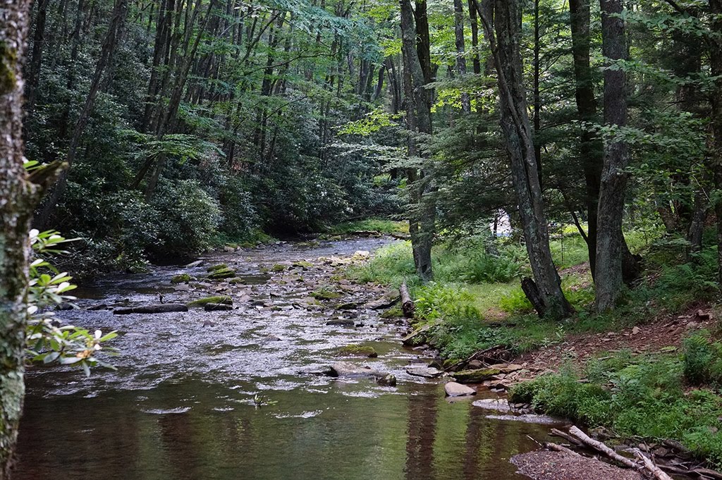
The Keeneys Creek Rail Trail is part of the Nuttalburg Trail System of the New River Gorge National River. This former rail line once connected the mines and communities to Nuttallburg and the Chesapeake & Ohio Railway mainline. This wide trail zigzags along the rugged mountain landscape and offer amazing view of the mountain stream. It has a slight grade and travels across many trestle bridges and under the conveyor. This trail is recommend for all ages and skill types and can be traveled either direction.

West Virginia, Fayette County
01 :24 hrs
1.5 mi
89.00223 ft
Easy
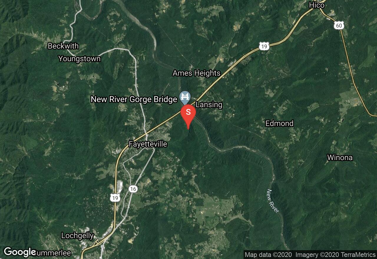
Located at the New River Gorge National River, the trail is the best starting point for hikes in the area. The mostly flat dirt and rock trail travels through a mixed hardwood forest with sites of mushrooms throughout the under-story. Among the wonders of the New River Gorge, the rock outcrop known as Long Point provides a 360-degree panorama that includes one of the best views of the New River Gorge Bridge. Bring your camera and binoculars to capture the view. There are no guardrails along the cliff ledges so use caution.
West Virginia, Fayette County
02 :04 hrs
1.9 mi
113.23303 ft
Hard
The longest hiking trail established in the New River Gorge, the trail runs parallel along the walls of the Gorge. The Kaymoor Trail follows along old roads and rail beds that leads hikers to the abandoned mining sites. Hikers have the opportunity to travel down a set of 821 steps towards the remains of the old mine buildings near the river. Do not climb, sit, or walk on walls and other constructed features of this historic site. The Kaymoor coal mine was in operation for almost 60 years, but has been abandoned since 1963. Enjoy the lush greenery from the hemlock trees, with spectacular views that this trail has to offer.
See more adventures..
Explore complete list
Explore nearby adventures

