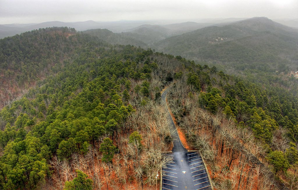
Best Rafting in Arkansas
Trying to find the best rafting in Arkansas? Bivy has great hiking, biking, paddling, climbing, skiing, riding and more, with hand-curated trail maps, as well as detailed driving directions.
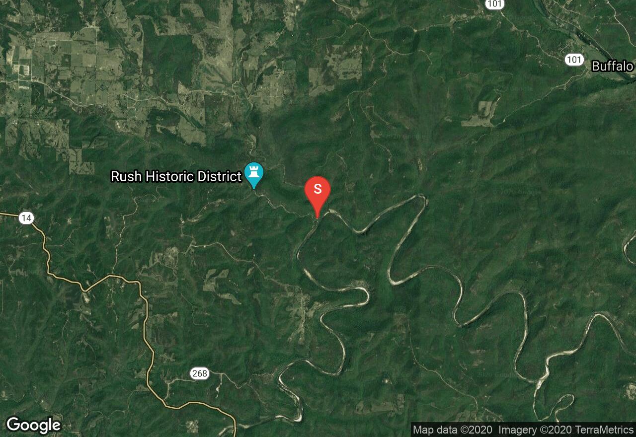
Arkansas, Marion County
10 :47 hrs
24.2 mi
39.684723 ft
I
This paddle takes you through some of the finest flatwater paddling in the country. The lowest reach of the Buffalo National River, it wanders through beautiful hardwood blanketed Ozark hill country. Given its length it is best tackled as a two-day outing especially given the strenuous up river paddle once you reach the confluence with the White River. Camping opportunities along the route are numerous and of good quality.
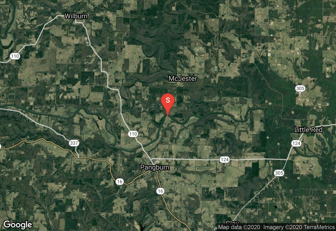
Arkansas, Cleburne County
03 :02 hrs
6.9 mi
47.53005 ft
I
Low water and slow current, cold water.
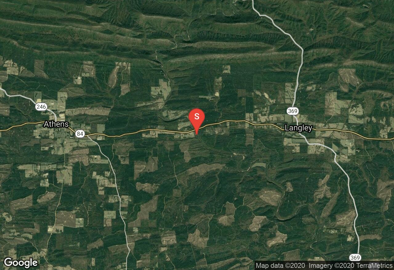
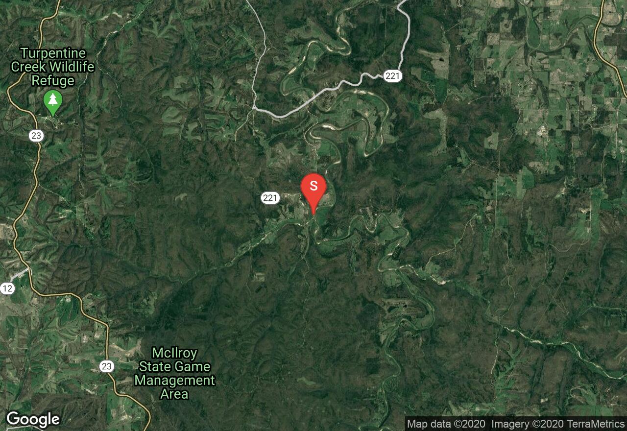
Arkansas, Pike County
04 :49 hrs
11.7 mi
50.321823 ft
III
This section of the Little Missouri River is significantly less challenging than sections up river but still offers some excitement. The second half of the run sports large standing waves that are prone to swamping canoes. The scenery is decent; a winding canyon with hardwood covered banks surrounded by tree farms and forest.
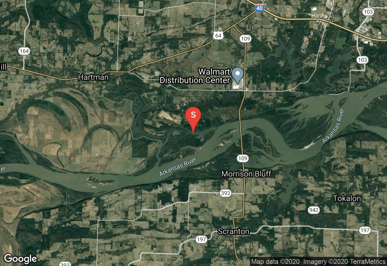
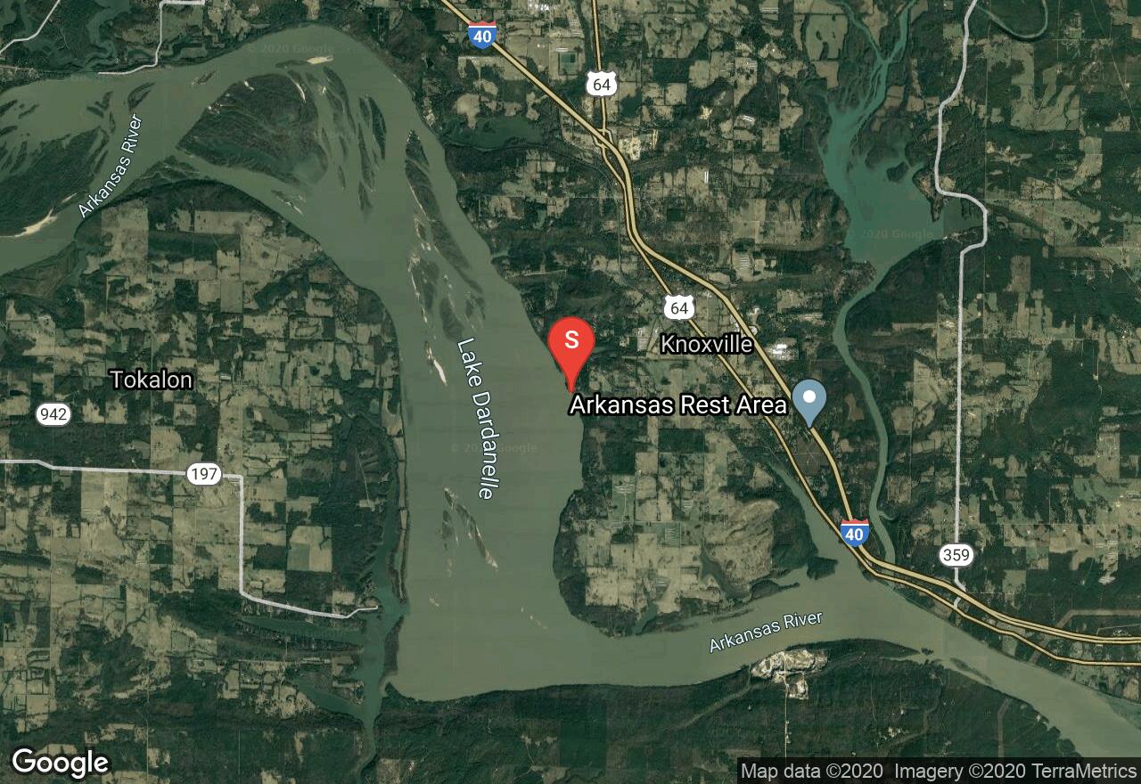
Arkansas, Johnson County
04 :08 hrs
9.2 mi
5.46756 ft
I
Lake Dardanelle is a very large reservoir created by an impoundment of the Arkansas River. Given its size what you’ll encounter along its shore varies greatly; some areas are blanketed by hardwood and evergreen forest, some are next to farmlands or residential developments and an area hosts a nuclear power plant. Horse Head Public Use Area accesses an interesting area of the lake for exploration. There are many narrow corridors of water separated by islands. The shoreline is generally wooded backed in some places by farmlands.
Arkansas, Madison County
03 :27 hrs
7.8 mi
16.181824 ft
I
The King’s River begins in the Boston Mountains and wanders through farmlands and woodlands of northern Arkansas. The riverbanks exist in a natural state lined with hardwood and evergreen thickets. This section is known for having particularly good scenery, similar to what is found on the Buffalo River but without the crowds. The take-out for this reach of the river is on private land and a fee is required for access; shuttle services are also available.
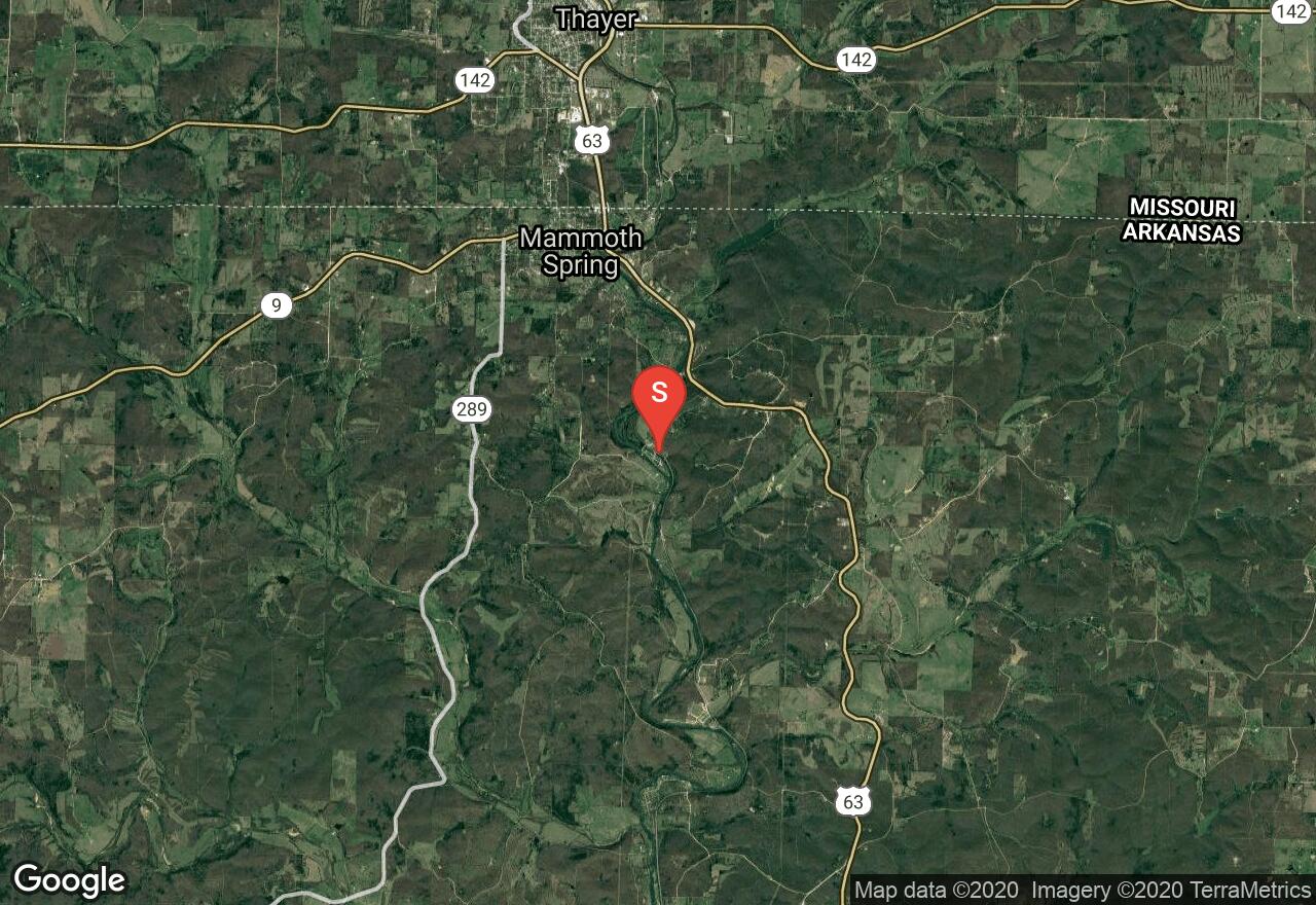
Arkansas, Fulton County
03 :18 hrs
7.9 mi
21.532417 ft
II
This popular stretch of the Spring River offers year round access to class II whitewater with great scenery. There are several exciting drops the highest of which is about five feet. The take-out is at Many Islands Camp were facilities and campsites are available.
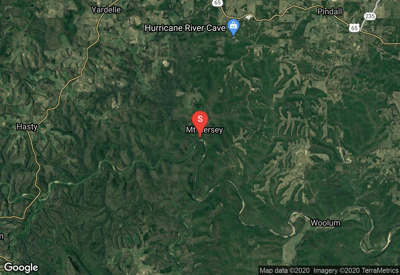
Arkansas, Newton County
04 :10 hrs
9.4 mi
19.485092 ft
I
This paddle offers some mild quickwater and flatwater on the Buffalo National River; some of the best paddling in middle America. A great stop-off is located about eight miles from the put-in where trails surrounding an interesting rock formation provide the opportunity for exploration. The scenery is excellent, dense hardwood forest blanketing hill country and scenic bluffs. Be on the lookout for willow thickets that can trap boat.
Arkansas, Johnson County
05 :23 hrs
12 mi
0.99998474 ft
I
Lake Dardanelle is a very large reservoir created by an impoundment of the Arkansas River. Given its size what you’ll encounter along its shore varies greatly; some areas are blanketed by hardwood and evergreen forest, some are next to farmlands or residential developments and an area hosts a nuclear power plant. Cabin Creek Recreation Area accesses a large area of open water and some interesting clusters of small islands to explore.
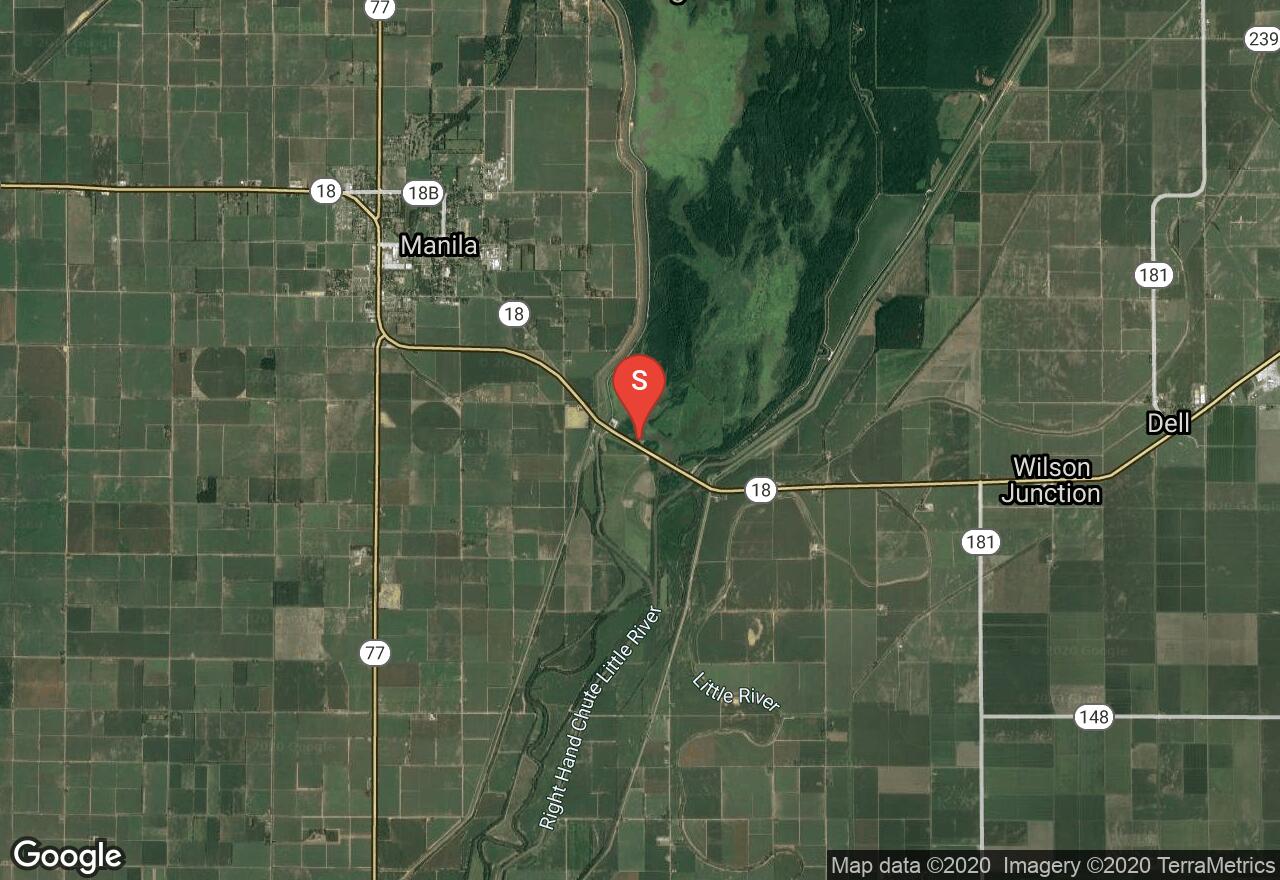
Arkansas, Mississippi County
04 :57 hrs
11 mi
2.6999207 ft
I
Big Lake National Wildlife Refuge offers a beautiful wetland existing in a pristine state to explore. The lake is located in the Mississippi Delta region of Arkansas near Manila and surrounded by farmlands. Powerboats are prohibited on the lake making for a quiet and safe experience for paddlers. Wildlife viewing opportunities are assured while visiting this area.
Arkansas, Madison County
05 :04 hrs
11.4 mi
29.71225 ft
I
The King’s River begins in the Boston Mountains and wanders through farmlands and woodlands of northern Arkansas. The riverbanks exist in a natural state lined with hardwood and evergreen thickets. As with most Arkansas rivers, paddlers need to be on the lookout for downed trees that present a hazard to navigation.
See more adventures..
Explore complete list
Explore nearby adventures

