Main.726e0f2c599ca549d020.js in Wilson
Trying to find the best in Wilson ? Bivy has great hiking, biking, paddling, climbing, skiing, riding and more, with hand-curated trail maps, as well as detailed driving directions.
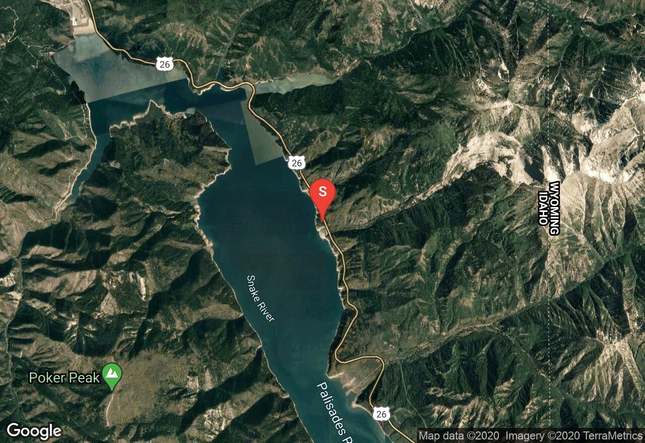
Idaho, Bonneville County
07 :18 hrs
8.5 mi
380.37402 ft
Extreme
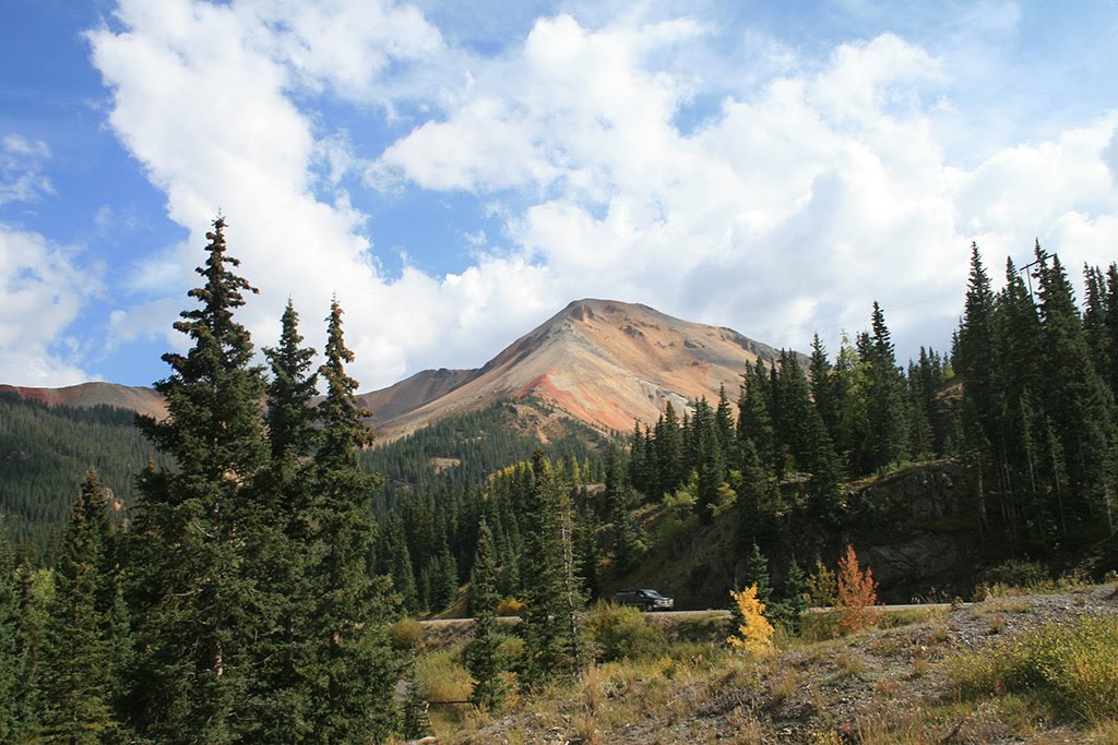
Located in the Palisades Ranger District, the hike starts at Big Elk Campground near Palisades Reservoir in Idaho. It eventually leads into Wyoming through aspens, tall Douglas firs, sagebrush, and wildflowers. The route follows alongside Big Elk Creek through a canyon area that resides in the Snake River Mountain Range. Beautiful scenic views are offered along the trail. If you plan on camping, a wilderness permit can be obtained from a Forest Service facility or a registration box.
Wyoming, Jackson Hole
05 :44 hrs
5 mi
374.55322 ft
Expert
This route will take you past the beautiful Phelps Lake and into a portion of Death Canyon. It is an option to continue in the canyon as a multi day adventure but the route is plotted as a day hike out and back. Use necessary precaution in winter for avalanche safety and awareness.
Wyoming, Alta
03 :06 hrs
2.3 mi
430.9104 ft
Hard
The parking area is located near Driggs, Idaho at the end of Darby Canyon Road. The route offers a waterfall, a canyon, a cave, a river, and views. The canyon is large drainage on the West slope of the Tetons. The trail is mostly used for hiking, trail running, snowshoeing, and rock climbing.
Wyoming, Jackson Hole
09 :24 hrs
21.3 mi
1139.2063 ft
Extreme
This epic multi-day hike begins (or ends) at the Granite Canyon trail head. This trail can take any time between 2-5 days, depending on how many stops you want to take. A good campsite for the first night is Marion Lake. If you’re taking your time you can stop at one of the many lakes along the trail. For a 3 day trip, your 2nd night could be at the top of Cascade Canyon which will eventually take you down to Inspiration Point and Jenny Lake. The $7 boat ride from the base of Inspiration Point and the bank of Jenny Lake may sound like a bargain to shave off the last mile or so of your long hike.Note: Shuttle a vehicle to your end point (Jenny Lake parking lot). You need a back-country permit to stay over night in the Grand Teton National Park back-country.Take bear sprayTake a WAG BAG—much of the hike is above the tree line so you’ll need to pack out your waste.
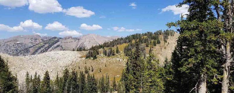
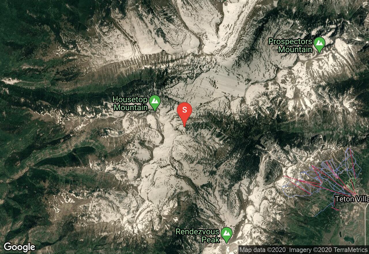
Wyoming, Teton County
06 :41 hrs
10.8 mi
1244.724 ft
Hard
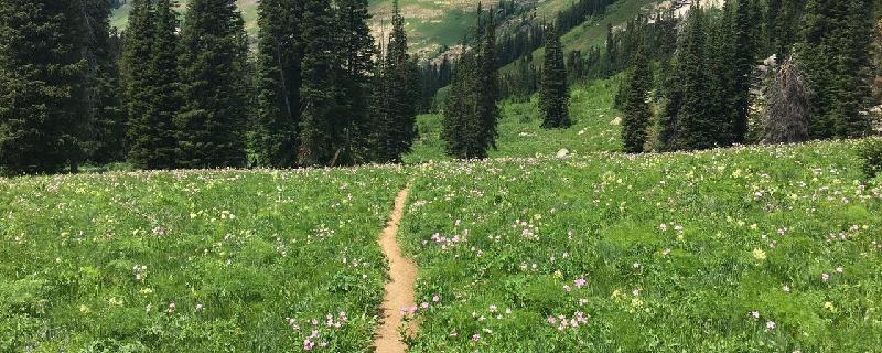
Challenging hike at Jackson Hole. Up and back wildflower-cirque trails.
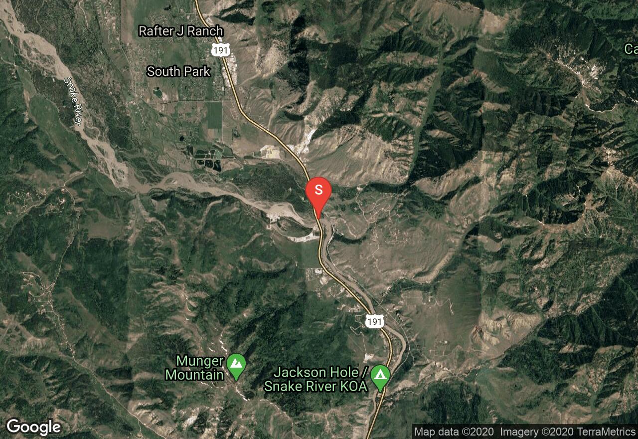
Wyoming, Hoback
03 :31 hrs
8.5 mi
29.88794 ft
II
The Snake River along this section offers great scenery, fishing, birdwatching, and some waves and rapids along the way for paddlers to enjoy. Shuttling of vehicles is required between the South Park launch and Astoria Boat Ramp. There is a self-registration fee required for this section of the river that should be available at the boat launch sites.
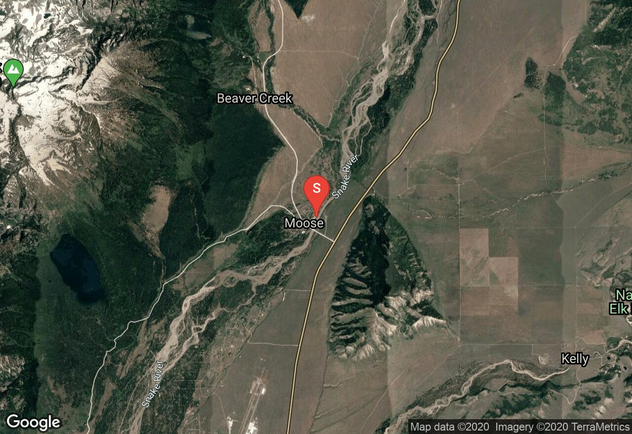
Wyoming, Jackson Hole
05 :52 hrs
14.5 mi
90.673706 ft
II
This section of the Snake River is difficult and offers a great challenge for advanced paddlers. There are strong currents with many braided channels and logjams requiring route finding and skillful paddling. Scouting the river and knowing current conditions is advised before starting out. The route starts at Moose Landing and ends just before arriving at the Snake River Bridge so shuttling of vehicles is required.
Idaho, Bonneville County
00 :05 hrs
0.2 mi
8.433105 ft
Unknown
Blowout Campground is a forest service site that is located on the eastern shoreline of scenic Palisades Reservoir in southeastern Idaho. The campground includes 15 shady sites for tent, trailer, and RV camping. Some of the sites are double occupancy. The sites have picnic tables and fire pits. Drinking water and vault toilets are also available. The sites are $12 per night and all sites are available first come, first served.
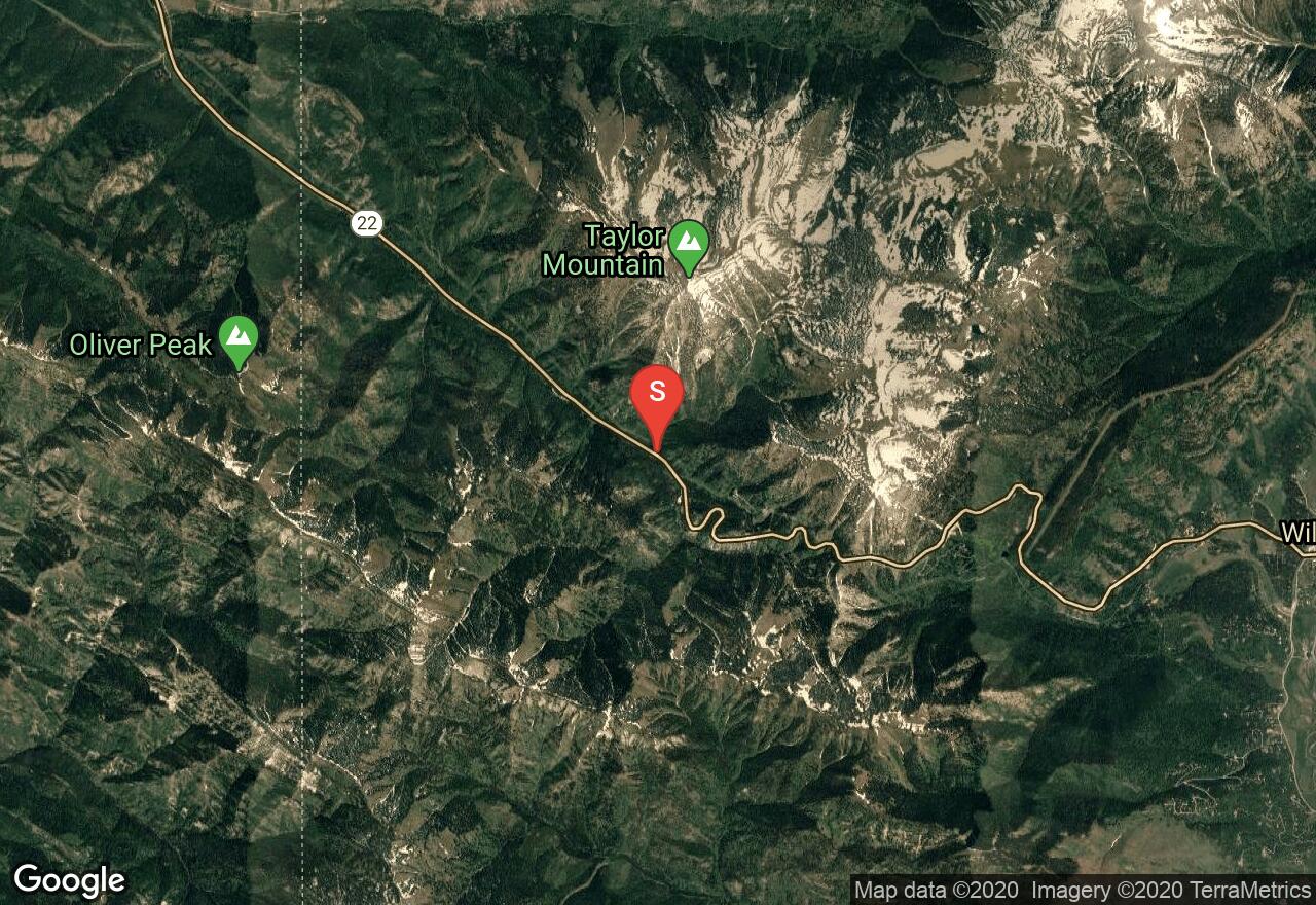
Wyoming, Alta
04 :25 hrs
5.5 mi
853.5886 ft
S3-
Claimed to be some of the best backcountry snow in the nation, Teton Pass is also easily accessible. Located at the southern end of the Teton Range, the Teton Pass provides access from the Jackson Hole valley to the Teton Valley of eastern Idaho. This route begins at a parking along the pass and climbs north up a ridge to the top of Taylor Mountain. There are two separate descents on this route. The first descent drops down a steep treeless east face into the valley below. The second route heads down a southeast chute that is nearer to the parking lot. Both are amazing skies and there is avalanche risk on both as well.
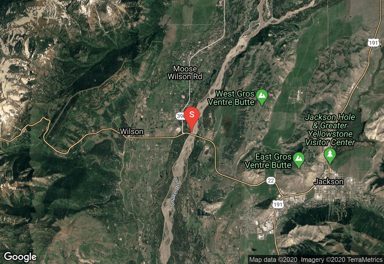
Wyoming, Moose Wilson Road
05 :19 hrs
13 mi
64.29541 ft
I
This section of the Snake River offers calmer waters for more relaxed paddling. The setting is scenic with views of the Tetons and lots of opportunity for wildlife viewing and birdwatching. The access to this section of the river is easy but shuttling of vehicles is required between Wilson's Bridge and the Von Gontard Landing.
See more adventures..
Explore complete list
Explore nearby adventures

