Best Trail Running in Wilson
Trying to find the best trail running in Wilson ? Bivy has great hiking, biking, paddling, climbing, skiing, riding and more, with hand-curated trail maps, as well as detailed driving directions.
Wyoming, Teton County
02 :47 hrs
6.8 mi
605.05945 ft
Hard
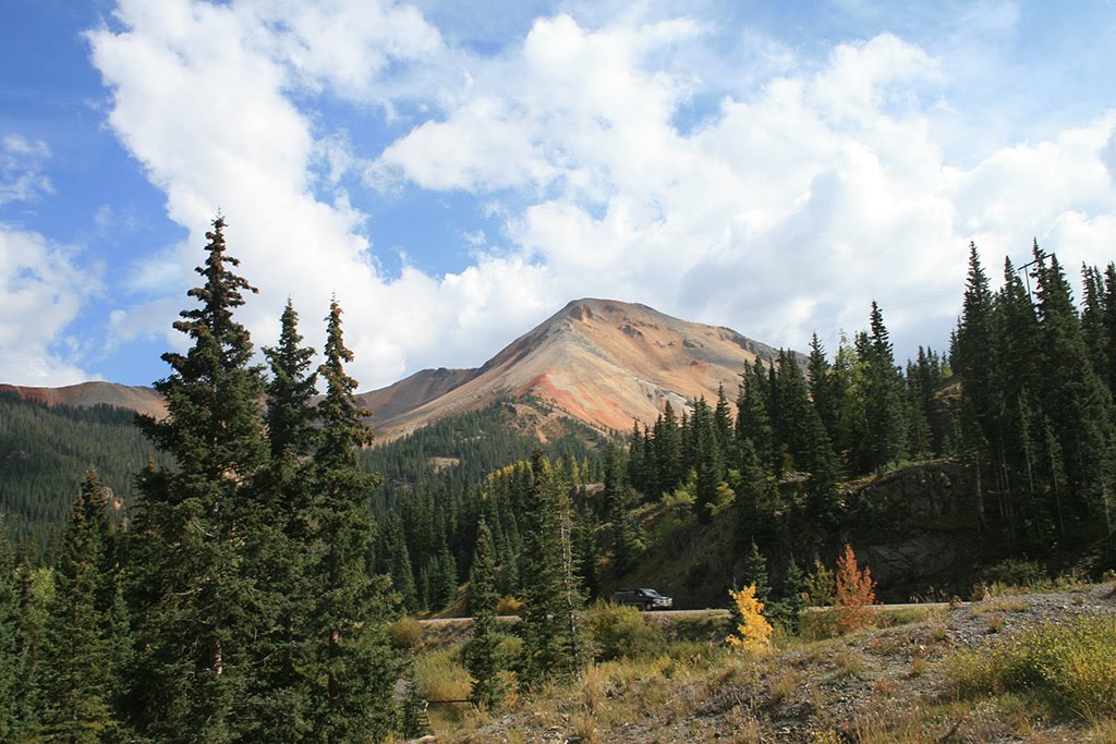
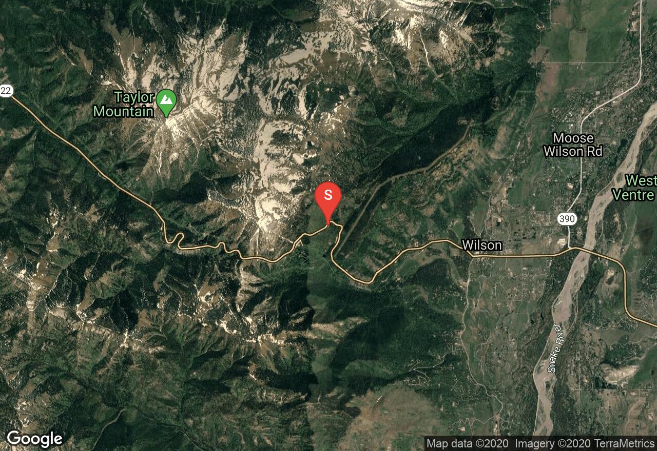
Nice single track on Teton pass
Wyoming, Alta
03 :06 hrs
2.3 mi
430.9104 ft
Hard
The parking area is located near Driggs, Idaho at the end of Darby Canyon Road. The route offers a waterfall, a canyon, a cave, a river, and views. The canyon is large drainage on the West slope of the Tetons. The trail is mostly used for hiking, trail running, snowshoeing, and rock climbing.

Wyoming, Alta
03 :17 hrs
2.4 mi
457.14404 ft
Hard
Located southeast of Alta, Darby Canyon Wind Cave is an out and back hike that features a waterfall and a cave. The hike begins in the forest and leads to a high shelf overlooking a gorgeous canyon. In early season, there are a few waterfalls when looking across the canyon from the shelf. Further along the route, there is a small waterfall that is a great resting spot. This waterfall usually dries up by August, but there is a bigger & taller waterfall just out of view in another quarter of a mile. The waterfall is right near the Wind Cave. Bring a headlamp to explore the first three caverns of the cave. You will need technical gear if you decide to go deeper into the cave.
Wyoming, Jackson Hole
04 :23 hrs
4.8 mi
286.37793 ft
Hard
Cache Creek is your do-it-all trail. A simple, yet great, out and back with a few side trail variations is a popular trail for a variety of adventure types. On the edge of the town of Jackson, it's easy to get to this trail head.
Wyoming, Jackson Hole
04 :53 hrs
4 mi
326.42798 ft
Hard
On the south end of the Tetons and the Jedediah Smith Wilderness, the hike to Phillips Pass is a relatively quick and easy day trip with great rewards.
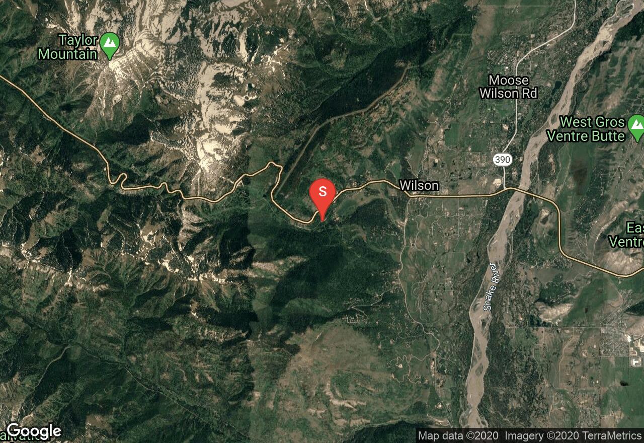
Wyoming, Wilson
02 :26 hrs
9.4 mi
832.93665 ft
Hard
This is mostly technical single track with short portions of double track. The return part uses the Jackson Hole Community Pathway System so be sure to check and obey local rules.
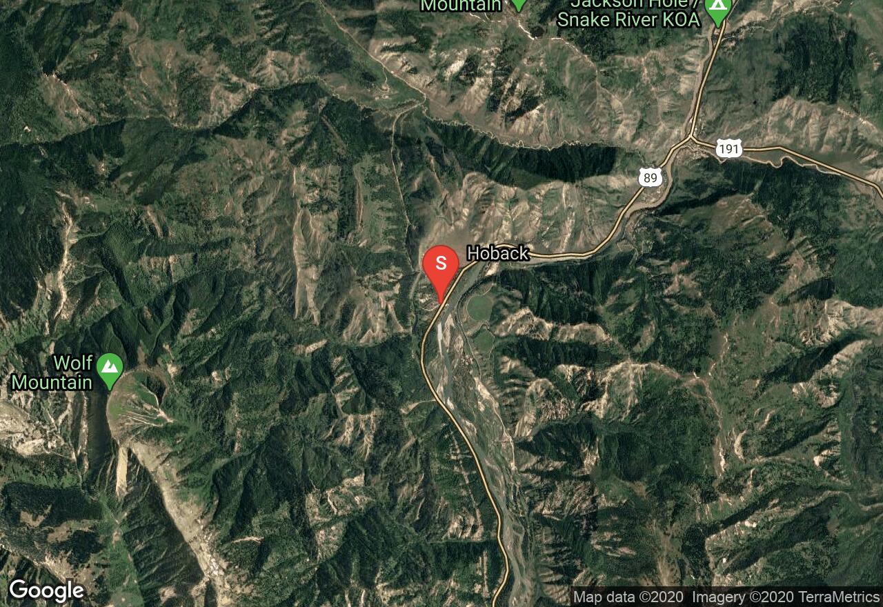
Wyoming, Lincoln County
05 :06 hrs
17.8 mi
207.29211 ft
Hard
This is a loop ride with a little bit of everything including singletrack, doubletrack, and pavement. You can avoid the hassle of traffic and roads if you ride it as a shuttle and get a ride where it meets the pavement. On the Cache Creek section it can be hiked, skied, and snowshoed if conditions permit.
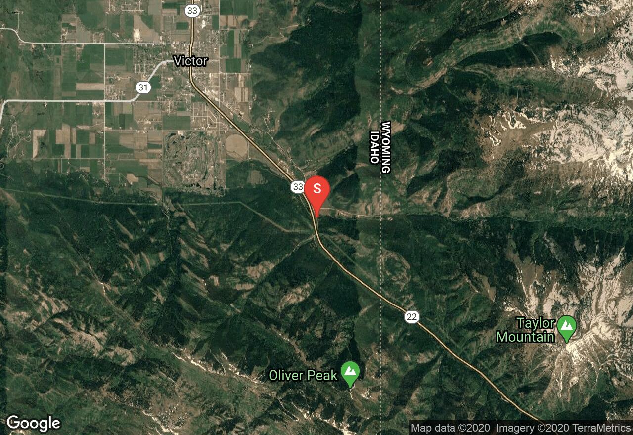
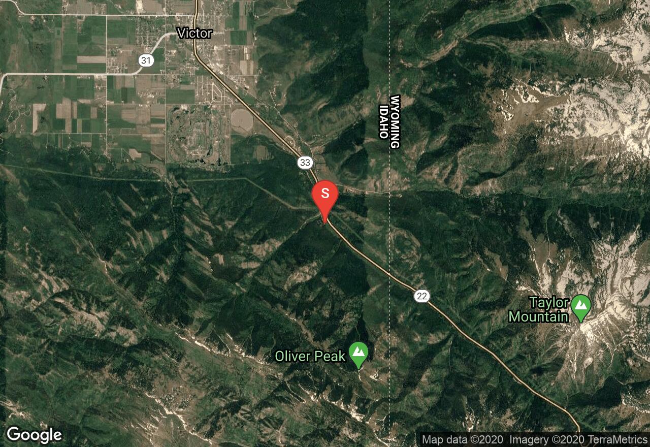
Idaho, Teton County
01 :24 hrs
1.7 mi
66.559204 ft
Moderate
Moose Creek starts off of Idaho State Highway 33 southeast of Victor. The hike follows along Moose Road and Creek through the partly forested Teton region. It will reach the Wyoming border along with the Moose Creek Recreation Site in a short amount of time.
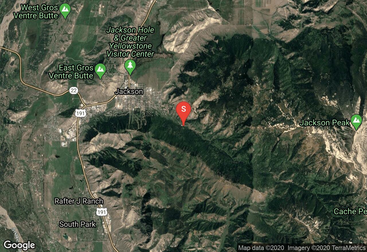
Wyoming, Jackson
01 :04 hrs
0.7 mi
180.28345 ft
Moderate
This short, steep hike gives you a great bird's eye perspective of the town of Jackson with awesome views of the entire Teton Range. You can make this hike an out and back, a lollipop, or a shuttle hike to the north end of the trail.
Wyoming, Jackson Hole
00 :53 hrs
4.2 mi
24.366943 ft
Easy
This route follows a portion of the Jackson Hole Pathway System and originates along Hwy 22 and then heads south to the turnaround point along South Park Loop Road. This is one of the main trails in Jacksole Hole and there are other portions of the pathway system also in Moose, Teton Village and Wilson.
See more adventures..
Explore complete list
Explore nearby adventures

