Runtime.80ab492fe3d778817936.js in Tonto National Forest
Trying to find the best in Tonto National Forest ? Bivy has great hiking, biking, paddling, climbing, skiing, riding and more, with hand-curated trail maps, as well as detailed driving directions.
Arizona, Gila County
02 :47 hrs
5.2 mi
235.0658 ft
3
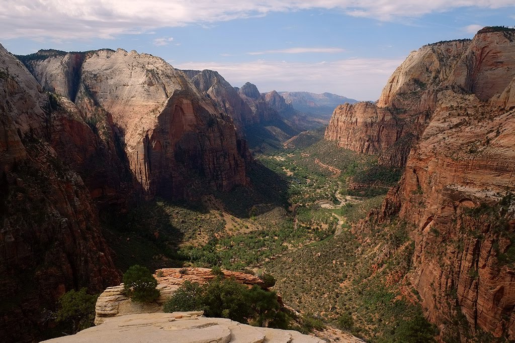
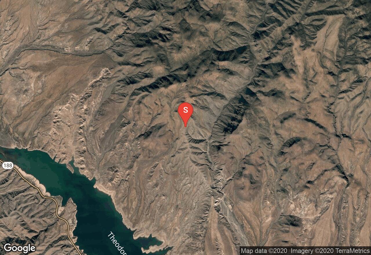
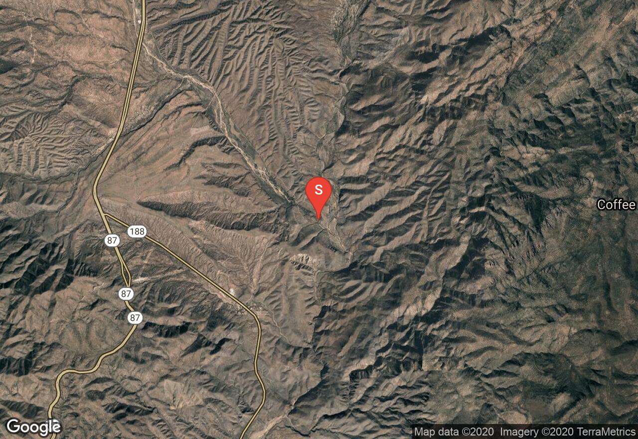
Located north of Roosevelt Lake in the Salome Wilderness Area, this scenic granite slot canyon is a challenging adventure that requires lots of swimming and technical canyoneering skills. The journey down the Jug includes lots of wading, multiple swims, a natural water slide, and a waterfall that can be rappelled down or jumped off of depending on water levels. When water is low there is a glue-in bolt above the falls on canyon right that can be used. When water levels are high another option is to make your way out to a small ledge that leads to another bolt site for rappelling down or a great spot to jump from. The ledge can be very slippery so rigging a safety line may be helpful. Be sure to check for sufficient water levels, possible debris, and any rock ledges that need to be cleared when jumping into the water below. The water can be very cold so wearing a wetsuit is needed, especially during the colder months.
Arizona, Gila County
07 :54 hrs
14.4 mi
568.4702 ft
3
This scenic loop trip through Park Creek Canyon and Upper Salome Creek is a physically and technically challenging route through remote and rugged canyons in the Salome Wilderness. The trip requires two days to complete with the first day being very strenuous and long. The route demands lots of route-finding, downclimbing on slick rock, multiple rappels including some through flowing water, and lots of wading and forced swims. The trip requires a lot of equipment to complete including two 100' ropes, 40' webbing, rappelling device, multiple rap rings, carabiners, harness, helmet, dry bag, wetsuit, headlamp for possible night hiking, and all the gear needed for an overnight campout. There are lots of natural anchors and existing bolts for the rappels so no bolts will be needed for the rappels. There are some very narrow sections of canyon along this route so do not attempt during times of possible heavy rains.
Arizona, Gila County
00 :09 hrs
0.4 mi
1.2906494 ft
Easy
This group campground is located next to Reynolds Creek and offers a rustic and secluded camp setting for visitors to the Tonto National Forest. The campground can accommodate up to 150 people. The area can accommodate trailers up to 21 feet. The site includes 8 picnic tables, 2 shade ramadas, campfire rings and grills, vault toilets, and a corral for horses. The site is open year-round and cost $25 per night during non-peak season and $40 during peak season.
Arizona, Gila County
02 :16 hrs
5.8 mi
64.8548 ft
III
This short run along Tonto Creek is a thrilling trip through scenic and classic Arizona desert and a narrow canyon. The first part of the trip is a short run along Rye Creek which leads to a confluence with Tonto Creek. Shortly after the confluence of the two creeks is the first major rapid, Rye Creek Rapid, which is a class III rapid at ideal flows but can be upgraded to class V when flows are exceptionally high. As the river enters the gorge there are multiple class III rapids and holes that will keep paddlers on their toes. There is one spot of the canyon that narrows down to 12-feet but is passible and less-threatening than it may appear. The remainder of the trip after leaving the canyon is relatively mild consisting of mostly class I to II rapids.
Arizona, Maricopa County
01 :08 hrs
5.7 mi
628.16296 ft
Unknown
Two Bar Ridge Trail is just a short distance away from Phoenix Valley. Throughout this area there are plenty of lakes, cliffs, and valleys to explore. This could be challenging for stock vehicles at some points because of deep ruts and decent sized rocks. Dispersed camping is available throughout the duration of the trail.
Arizona, Maricopa County
13 :34 hrs
33.9 mi
6.5630493 ft
SK V
Located just off the scenic Apache Trail in central Arizona, this long narrow lake offers miles of shoreline for paddling with many side coves and bays that provide nice waters for paddling. The lake is more remote and less crowded than the other Salt River reservoirs but still offers great scenery and opportunity for recreation. Amenities at the lake include a marina, picnic sites, campgrounds, and multiple boat launches.
Arizona, Gila County
03 :13 hrs
6 mi
446.70874 ft
Hard
Located in Tonto National Forest, the Vineyard Trail is a remote and rugged trail that offers excellent views of the Superstition Wilderness, Four Peaks area, Roosevelt Lake, Apache Lake, and more. The hike starts from a trailhead at Roosevelt Lake Dam and starts a steep climb up to Inspiration Point and Vineyard Mountain where the best views along the hike are found. The hike then travels along rolling hills that produce scenic vistas throughout. The Vineyard trail ends at the Mills Ridge Trailhead for hikers who have been shuttled. The hike can also be done as an out-and-back by starting from the bridge trailhead and turning back at any point along the trail.
Arizona, Gila County
01 :24 hrs
1.1 mi
217.8971 ft
Moderate
This guided hike leads visitors to the upper cliff dwellings of Tonto National Monument. The trail can only be hiked accompanied by a park ranger through reservations November through April on Saturdays, Sundays, and Mondays. The first part of the trail travels through a shaded canyon full of vegetation. The hike then leaves the canyon and starts up a series of steep switchbacks before following a long straight trail to the cliff dwellings. The park rangers hike slowly and stop often to provide information and history giving hikers plenty of time to rest. The monument also has a trail to lower cliff dwellings that can be hiked at anytime without a park ranger. The monument has a visitor center where hikers can learn about the history of the site through displays and videos before setting out to see the ruins. There is also an interpretive trail closer to the visitor center that provides lots of information regarding the vegetation of the area. The national monument is a fee area and has set operating hours.
Arizona, Gila County
00 :35 hrs
0.4 mi
106.577515 ft
Moderate
This trail is a steep paved route that leads hikers to the lower cliff dwellings of Tonto National Monument. The monument has a visitor center where hikers can learn about the history of the site through displays and videos before setting out to see the ruins. The trail is short, steep, and can be hot so come prepared. The views from the cliff dwellings to Lake Roosevelt below are impressive and the ruins are a very interesting site to visit. The monument also has an upper trail but this can only be hiked accompanied by park rangers with a reservation. There is also an interpretive trail closer to the visitor center that provides lots of information regarding the vegetation of the area. The national monument is a fee area and also has set operating hours.
Arizona, Gila County
11 :50 hrs
29.6 mi
13.536194 ft
SK V
The Schoolhouse Point launch is located on the eastern portion of Roosevelt Lake and is a good launch site for the lake as well as a river access point for the Upper Salt River. Roosevelt Lake is the largest lake located in Central Arizona on the Salt River Project. The lake offers open waters for paddling as well as lots of small coves and canyons that can offer more solitude and opportunity for viewing wildlife. The lake is popular with speedboats and motorboats so be cautious when entering and crossing open waters.
Arizona, Gila County
01 :50 hrs
5.2 mi
24.112915 ft
Easy
This group campground is conveniently located at the southern end of Roosevelt Lake, the largest lake in central Arizona. The campground consists of 9 group sites that can accommodate up to 100 people each. Amenities include paved driveways, potable water, picnic tables, accessible restrooms, showers, playground, fire rings, grills, and sports fields. The sites can fit tents and RVs up to 32 feet in length. The group sites need to be reserved through the Tonto Basin Ranger District. The cost is $75 per night for up to 50 people and $150 for groups larger than 50.
Arizona, Gila County
01 :06 hrs
3.2 mi
21.599792 ft
Easy
This large campground located on the eastern shore of Roosevelt Lake in central Arizona offers visitors nice camping accommodations and convenient access to the lake. The campground consists of 211 sites that are equipped with picnic tables, fire rings, grills, and shade ramadas. There are flush toilets, showers, and drinking water available at the campground. The sites can accommodate tents and RVs (up to 32 feet depending on site) and include tent-only, single, and double site options. The sites are available on a first-come, first-serve basis with a forest service camping fee.
Arizona, Gila County
03 :28 hrs
9.7 mi
47.18622 ft
Easy
Windy Hill Campground is located on the southern shoreline of Roosevelt Lake and offers a a large variety of site options and amenities for visitors to the area. The campground consists of 347 sites that can accommodate tents and RVs (up to 32 feet depending on site). Each site has a shade, picnic table, fire pit, and grill. There are water hydrants on site and toilets and showers located throughout the campground. There is a dump station about 8 miles away that can be used free of charge. There is also a playground and an amphitheater. The sites are available first come, first serve for a nightly fee.
Arizona, Gila County
01 :35 hrs
4.5 mi
28.154724 ft
Easy
This large campground is located on the southern shoreline of Roosevelt Lake, the largest lake in Central Arizona. The campground is also the largest solar-powered campground in the United States. The campground consists of 206 sites that are equipped with fire rings, picnic tables, water hydrants, and shade ramadas. There are also flush toilets and showers dispersed through the campground. The campground can accommodate tents as well as RVs up to 32 feet max at some sites. The sites are all available on a first-come, first-serve basis for a nightly fee. There is a dump station and boat ramp within close proximity to the campground.
Arizona, Gila County
15 :02 hrs
37.6 mi
6.4231567 ft
SK V
The Cholla Recreation Site is located 6 miles north of the dam on the southwest portion of Roosevelt Lake. Roosevelt Lake is the largest lake located in Central Arizona on the Salt River Project. The lake offers open waters for paddling as well as lots of small coves and canyons that can offer solitude and opportunity for viewing wildlife. The lake is popular with speedboats and motorboats so be cautious when entering and crossing open waters. The site offers a boat launch, picnic areas, and campgrounds.
Arizona, Gila County
02 :02 hrs
10.6 mi
502.78796 ft
Unknown
Dupont Cabin Trail is located in the great backcountry of Tonto National Forest. The trail stops at Dupont Cabin which is an old ranch house. There are a few scattered campsites along the trail. This is a pretty challenging route that is definitely challenging for stock 4x4s.
Arizona, Gila County
02 :30 hrs
12.9 mi
615.36597 ft
Unknown
FR 71 Tonto National Forest is considered a gateway trail that goes from Tonto Basin to lots of other trails running throughout Tonto National Forest. This is a very easy dirt road that also runs throughout a network of trails for hiking and scattered camping.
Arizona, Gila County
00 :48 hrs
4.5 mi
384.136 ft
Unknown
Deer Hill Trail can be linked with Apache Trail and Two Bar Ridge Trail which connects two great areas in the Tonto National Forest. There are plenty of trails nearby for hikers and Lake Roosevelt is also nearby which provides great water access. This is a very easy trail with just a few water crossings and steep spots.
Arizona, Maricopa County
00 :19 hrs
0.9 mi
7.668701 ft
Easy
This campground is located just 6 miles south of Roosevelt Dam on the southern shoreline of Apache Lake. The campground is accessed by the Apache Trail National Forest Scenic Byway and is within close proximity to lots of recreational opportunities including boating, hiking, and wildlife viewing. The campground consists of 79 accessible sites that can accommodate tents and RV equipment up to 40 feet in length. Amenities include picnic tables, grills, water faucets, toilets, and fish cleaning station. There is also a boat dock. The sites are all first-come, first-served for a nightly fee.
Arizona, Gila County
00 :47 hrs
2.3 mi
4.1870728 ft
Easy
This large campground is located on the shoreline of central Arizona's largest lake, Lake Roosevelt, and offers campers great access to the lake and miles of nearby hiking trails. The sites include a total of 54 sites consisting of single, double, and shoreline access units. Amenities include picnic tables, campfire rings, grills, water, and restrooms. There is also a paved boat ramp. The sites can accommodate tents and RVs. The sites are first-come, first-serve for a nightly fee.
Arizona, Maricopa County
02 :00 hrs
1.8 mi
103.216675 ft
Moderate
The Thompson Trail travels high above Roosevelt Lake providing hikers with excellent views of the lake and surrounding area including the Roosevelt Lake Bridge. The trail, which is part of the Arizona Trail system, starts out on the Roosevelt Cemetery Trail where hikers can take a side trip into the old cemetery. The trail ends at SR188 but there is no parking here so shuttling of vehicles is not convenient. Hikers may choose to turn around at the end of the trail or turn back after reaching the highest point along the trail where views of the bridge become available.
Arizona, Maricopa County
02 :01 hrs
4.5 mi
1.746582 ft
I
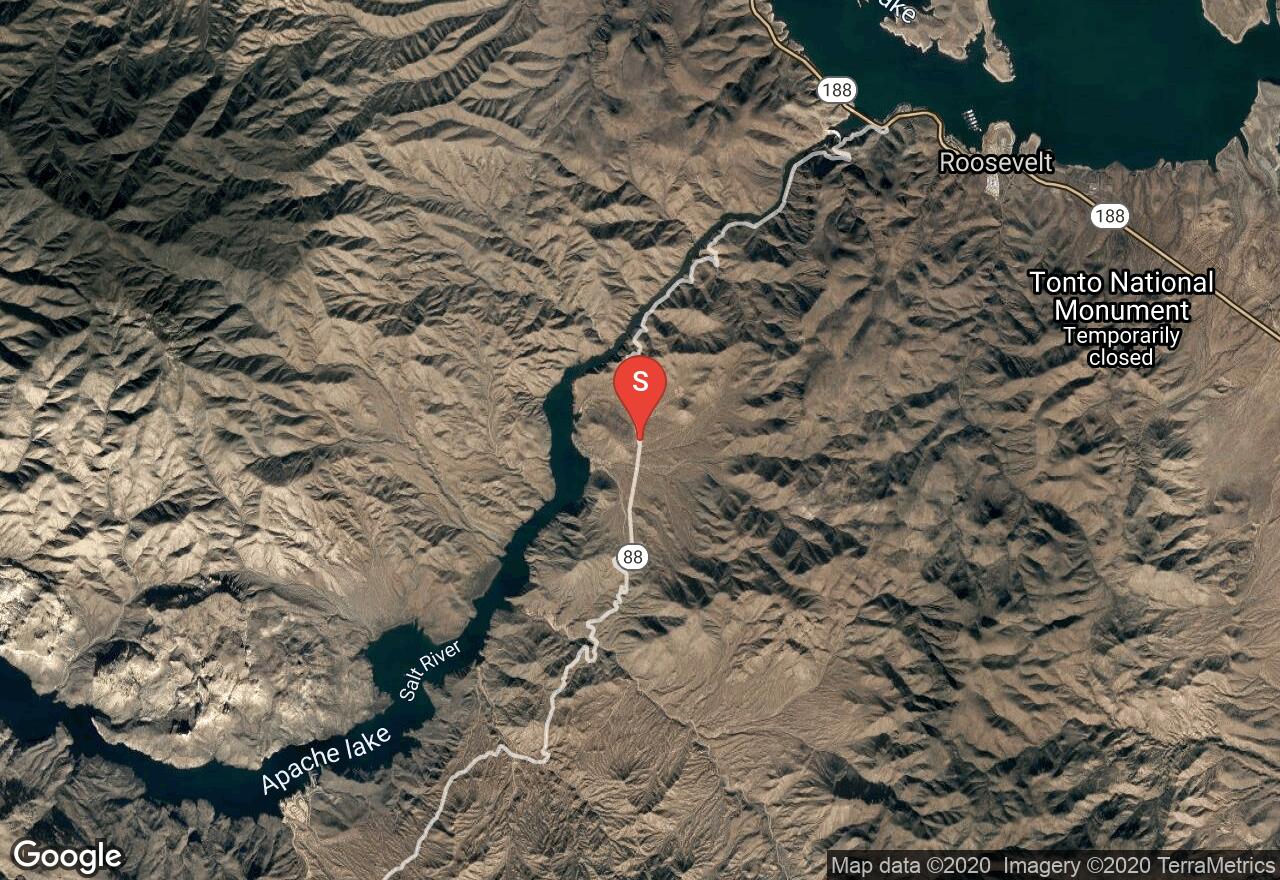
Starting just below Roosevelt Dam, paddlers will enjoy calm and peaceful waters that travel through a scenic canyon to Apache Lake. The river along this section almost always has sufficient water for paddling and enjoying nature and wildlife. There are multiple take-out spots on Apache Lake to be used depending on how much of the lake you want to explore.
Arizona, Gila County
00 :27 hrs
4.9 mi
107.301025 ft
Unknown
Meddler Point is a very scenic trail that does encounter some obstacles along the way. At Meddler Point, visitors enjoy fishing, swimming, and more. Campsites are scattered throughout the area. Aside from this, there are also a few trails along the way for visitors to stop.
Arizona, Gila County
00 :04 hrs
0.1 mi
9.977417 ft
Easy
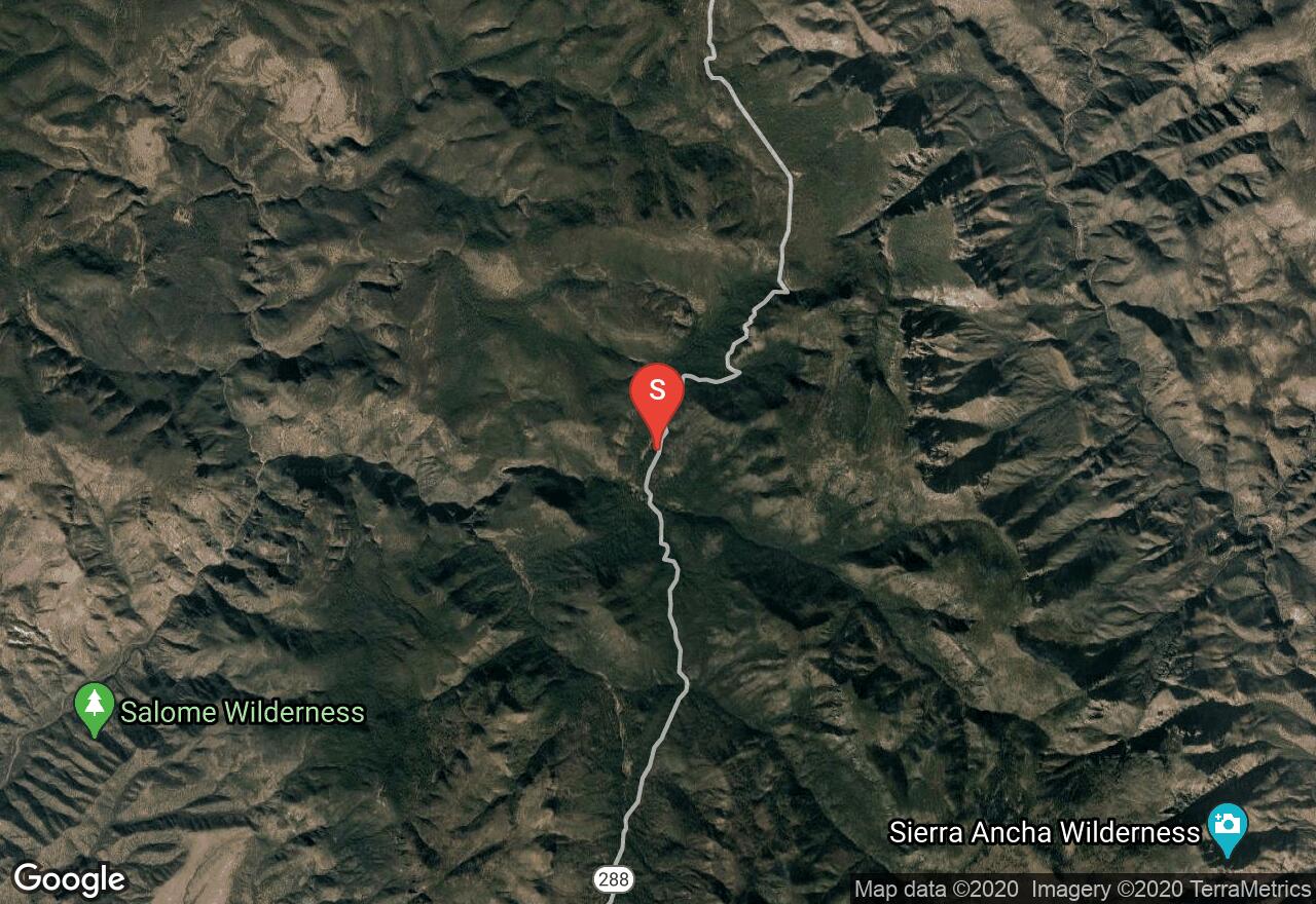
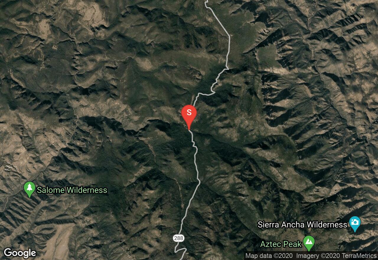
This forest service campground is located between the Salome and Sierra Ancha Wilderness areas, providing campers with a rugged but convenient camp spot when visiting the area. Within close proximity to the campground there hiking trails and abundant opportunity for wildlife viewing. The campground consists of only 5 sites with picnic tables and grills. There are accessible vault toilets on site but no water and no trash services. The sites are available on a first-come, first-serve basis and there is no fee for camping.
Arizona, Gila County
01 :37 hrs
4 mi
452.54645 ft
3
Located in the western part of the Sierra Ancha Wilderness, this rugged rock canyon offers excellent scenery and lots of physical and technical canyoneering challenge. Taking the route down the canyon requires lots of downclimbing, sections of wading and swimming, and multiple rappels. For the rappels you will need a harness, helmet, 2x100' ropes, 40' webbing, 5 rap rings, carabiners, and a descender. The water in the canyon can be very chilly, especially during cold temperatures, so also come prepared with a dry bag and wetsuit. The rock in the canyon is very slick so be extra cautious. The trip can also be done as a shorter loop trip by using an alternative exit known as Cadillac Exit.
Arizona, Gila County
00 :28 hrs
1.4 mi
9.019836 ft
Easy
This small campground is located on the southern shoreline of Theodore Roosevelt Lake, just a few miles from the historic dam. The campground consists of 11 individual sites and a large group site. The sites can accommodate tents and large RVs. The amenities include picnic tables, shade ramadas, fire rings and grills, potable water, and restrooms. The sites are available on a first-come, first-serve basis for a nightly fee.
Arizona, Globe
05 :52 hrs
14.1 mi
392.13055 ft
III
Typically permitted, visit USFS site first. Always FUN.
Explore nearby adventures

