Runtime.80ab492fe3d778817936.js in Rocky Mountain National Park
Trying to find the best in Rocky Mountain National Park ? Bivy has great hiking, biking, paddling, climbing, skiing, riding and more, with hand-curated trail maps, as well as detailed driving directions.
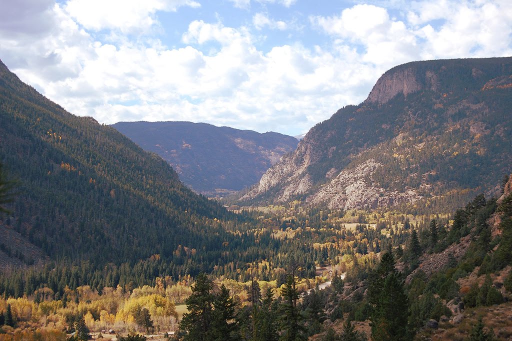

Colorado, Larimer County
11 :49 hrs
6.9 mi
1467.3174 ft
Extreme
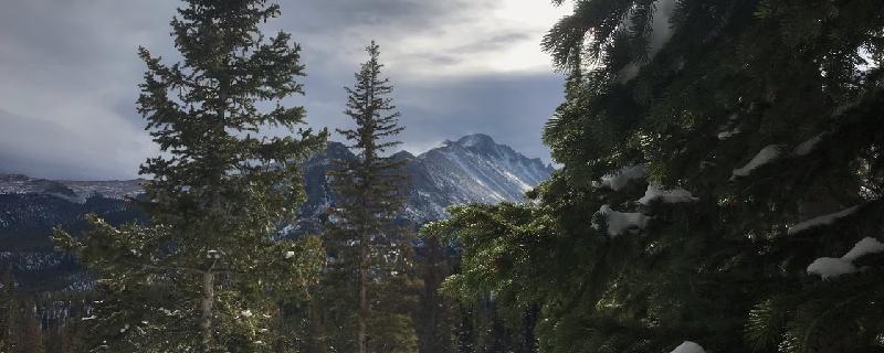
Longs Peak is part of the Colorado Front Range standing at 14,255 feet and towering above its surrounding peaks within the Rocky Mountain National Park. This trail follows the most popular, easiest, and classic trail to the summit, the Keyhole Route. The trail switchbacks through a dense forest of evergreens into the exposed high alpine terrain where the peak comes into view. It then travels through a boulder field to the top of the Trough, a couloir that is filled with snow until late July. An ice axe will make traveling through this couloir easier when covered in snow. Beyond the Trough are the Narrows, a traverse along an exposed ledge that leads to the Homestretch. The Homestretch ascends up cracks and low angled rock slabs south to the summit plateau where amazing views await.

Colorado, Larimer County
01 :55 hrs
1.6 mi
204.92651 ft
Moderate
Situated in Rocky Mountain National Park, Emerald Lake lies in a glacially carved valley east of Hallett Peak. This short and popular hike offers incredible mountain scenery with relative ease. The trail gently ascends through a forest of lodgepole pines, Engelmann spruce, and subalpine fir to Nymph Lake. Beyond the small lake the trail climbs out of the thick forest and into a more exposed terrain as it skirts the edges of Dream Lake and continues on to Emerald Lake.
Colorado, Larimer County
03 :20 hrs
1.6 mi
238.4668 ft
Moderate
The Lake of Many Rocks is a short but spectacular hike in the busy Bear Lake area of RMNP. It's a little more strenuous than the more popular lakes, so you may be the only person there if it's "off season." There are incredible views along the way and the multitude of large rocks leading up to the lake provides for an excellent foreground in photos. It's one of John Fielder's favorite in RMNP. There's some slight avalanche danger as you climb the last hill to the lake

Colorado, Larimer County
02 :39 hrs
2.3 mi
443.0105 ft
Moderate
This is a fairly strenuous hike up the Long's Peak trail to the junction of Chasm Lake. It begins in the beautiful alpine forest and has spectacular views the entire way.

Colorado, Larimer County
01 :02 hrs
0.8 mi
43.088623 ft
Extreme
This is a challenging day hike from Little Rock Lake campground. There's no trail, so it's "cross country" travel. Do not attempt this unless you are very confident in your skills and abilities. There are stream crossings, marshy meadows, and dangerous wildlife in the area (moose, bears). You will be the only person there if you choose to take on this adventure. The lake has beautiful Lilies in the water.

Colorado, Larimer County
07 :38 hrs
4.8 mi
968.1416 ft
Expert
Among all the Flat Tops of Colorado and standing at 12,324 feet, Flattop Mountain is the highest and the most often summited; its usually summited in junction with Hallett Peak. This popular trail within Rocky Mountain National Park begins through a thick forest of evergreen and past patches of aspen groves by Bear Lake to the alpine tundra where expansive views began to appear. The final approach makes a more moderate graded climb toward the nearly level summit of Flattop Mountain and then traverses along a ridge to Hallett Peak.

Colorado, Larimer County
04 :10 hrs
7.7 mi
413.063 ft
Extreme
This was my hike from Little Rock Lake back to the Milner Pass trailhead. This is an extremely difficult hike and it's "cross country," meaning there's no trail. Do not attempt this unless you are very experienced and confident in your abilities, your physical fitness, and your mental toughness. That being said, if you choose to accept this mission you'll be one of the few who ever does. Don't judge this based on my photos. It's a very thick forest (think Pacific NW), and if you get seriously hurt you'll be in a really bad situation.

Colorado, Larimer County
10 :18 hrs
8.2 mi
724.2991 ft
Extreme
This may be one of the most difficult hikes in RMNP. Plan on at least 6 hrs. The hike out to Mt. Ida is on a well marked trail but then the adventure really starts. It's "cross-country" down the ridge line to the base of the gorge. You'll have to hike down steep sections and find your way through a very thick forest with lots of downed trees. Sound enticing yet? The payoffs are you'll see views of Arrowhead Lake, etc that most people never see. You'll also have the campsite all to yourself (except the wildlife) This hike is very strenuous and for experts only. You can return the way you came or take the adventure "Forest Canyon" back to the trailhead.

Colorado, Larimer County
00 :34 hrs
2.1 mi
463.3318 ft
Hard
This is a strenuous hike up the historic Flat Top Mountain Trail. Is trail was used by Arapaho Indians before Europeans arrived. It was also the site of a major battle between Arapaho and Apache, with the Arapaho pushing the Apache up over the Continental Divide. This trail continues to the top of the divide, but it was too windy above tree line to continue this day. This trail starts at Bear Lake but I forgot to track it from the beginning, so it starts where I stopped.

Colorado, Larimer County
04 :56 hrs
3.9 mi
520.4016 ft
Expert
The hike to Sky Pond passes cascading waterfalls and several alpine lakes within Loch Vale. You'll follow Glacier Creek through a forest of evergreens and aspen groves to Alberta Falls where water rushes over a glacially carved ledge. Beyond the falls, you'll enter an open area with incredible views of Glacier Gorge and a sharp ridge leading to Longs Peak. The trail climbs through a forest surrounding The Loch and passes Timberline Falls where the trees begin to thin giving way to incredible alpine views. Its now only a short climb through a rocky terrain to Sky Pond.
See more adventures..
Explore complete list
Explore nearby adventures

