Best Climbing in Rocky Mountain National Park
Trying to find the best climbing in Rocky Mountain National Park ? Bivy has great hiking, biking, paddling, climbing, skiing, riding and more, with hand-curated trail maps, as well as detailed driving directions.
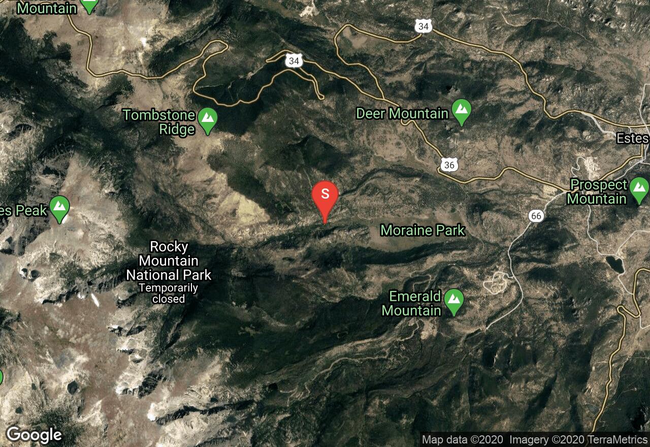
Colorado, Larimer County
02 :26 hrs
3.3 mi
585.14844 ft
S3-
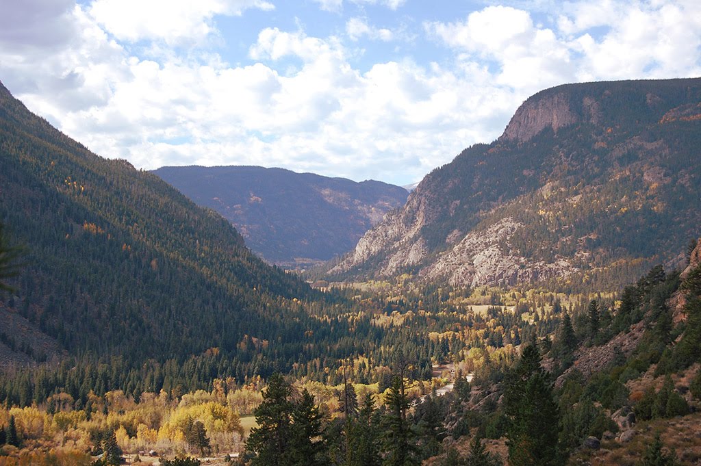
Hidden Valley Ski Resort was open from 1955-1991. It was used as a hot spot for backcountry skiing well before it was an established resort and still offers great terrain for all levels. The base lodge serves as a ranger station, warming hut and restroom facility. The main trail ascends above treeline past Trail Ridge road. This is where the more difficult runs are found. You can choose several descent options and lines from up top.
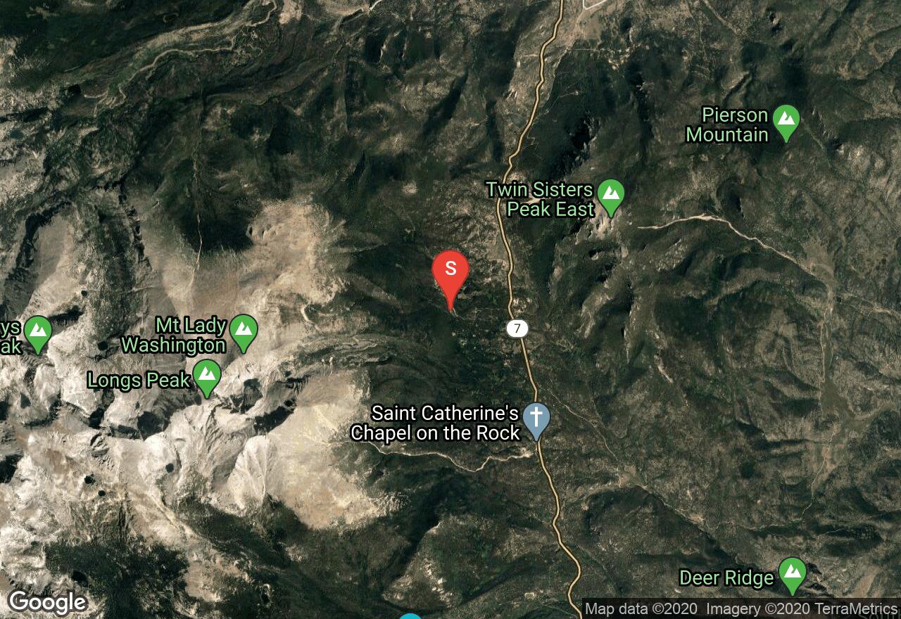
Colorado, Larimer County
10 :51 hrs
11.2 mi
1333.0256 ft
III
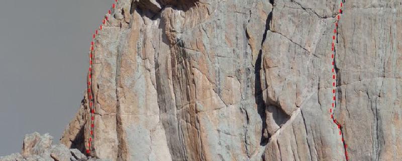
Long's Peak is one of Colorado's most popular fourteener peaks. The Kiener route is a classic mountaineering adventure. It is named after Walter Kiener who first climbed the route in 1924 and ended up losing his best friend, his fingers and toes to frost bite. It is a mixed climb of ice/snow and rock. Begin at the standard Long's Peak trailhead up to Chasm Lake and the base of the east face. Mills Glacier is a permanent glacier located at the base of the east face. Head up Lambs slide which is a couloir along the southwest side of the east face. This couloir is very prone to avalanches in early June. The snow turns to ice by August. Once at the top of Lambs slide traverse right along exposed ledges. Many people rope up here with low 5.1 climbing. There are a couple of pitches with mixed climbing. The most difficult climb is rated 5.4. Descend down the north face also known as the cables where there are rappel bolts. You could also descend the keyhole hiking route but this is long. Bring an ice axe, crampons, light rack, long rope, runners, slings and be prepared for quickly approaching storms.
Colorado, Larimer County
00 :44 hrs
0.8 mi
139.85913 ft
Various
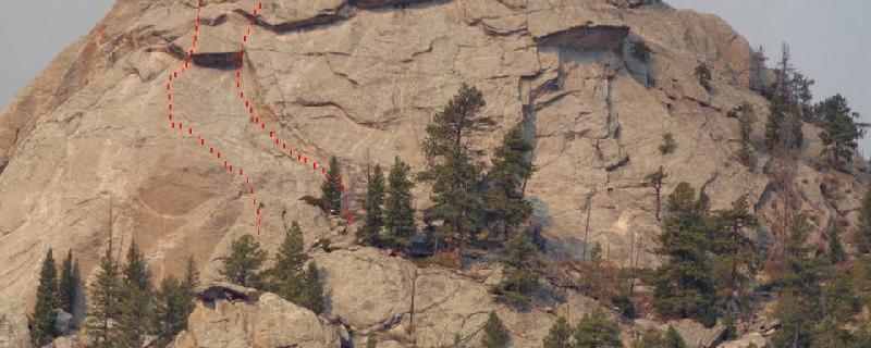
Twin Owls is a pair of steep buttresses and one of the largest rock formations at Estes Park. It offers some classic challenging and off-width crack climbs.
Colorado, Larimer County
01 :20 hrs
1.3 mi
295.9773 ft
Various
Batman Rock is a huge dome that has a wide variety of high quality climbs. Beautiful knobs, cracks and patina edges make this one of the better areas at Lumpy Ridge.

Colorado, Larimer County
10 :28 hrs
11 mi
1263.8679 ft
III
Long's Peak is one of Colorado's most popular fourteener peaks. The Stettner's Ledges route was named after Paul and Joe Stettner who climbed this route in 1927. It was the hardest climb in Colorado for 20 years. Follow the summer trailhead route to Chasm Lake. Head to the highest ledge up Mills Glacier. The climbing begins here with 6 pitches ranging from 5.4-5.7+ . Descend down the north face or cables route with rappel bolts. Bring a set of cams to #4, slings, ice axe, a few hexes and warm clothes.
Colorado, Larimer County
01 :09 hrs
1.3 mi
218.75586 ft
Unknown
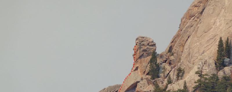
Located just below Batman Rocks’s South Face, Batman Pinnacle is the short stubby tower with a big south face. It is home to Lumpy’s easier climbs and has some classic routes.
Colorado, Larimer County
01 :18 hrs
2.1 mi
127.278564 ft
Unknown
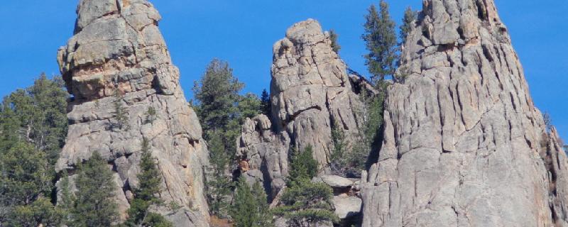
Fin City is a small crag on the eastern part of Lumpy Ridge. With just 6 routes, it is home to good crack climbing. All the routes are 50 ft. long.
Colorado, Larimer County
00 :40 hrs
0.6 mi
152.9331 ft
Unknown
Pretty sweet hike up, not the easiest, cairns mark the way. The Fin formation is on the right on the upper end and opposite the Dinosaur’s Foot. It offers some some great mixed lines with the classic being the Edge of Time. A 60 meter rope will descend from everything, or you can walk off to the right.
Colorado, Larimer County
05 :07 hrs
8.7 mi
544.4697 ft
S2
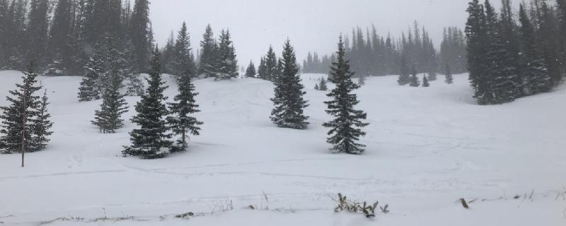
The approach trail to Fern Lake is in Rocky Mountain National Park. The first 1.5 miles will be hiking and then you can get skis and skins on. Views from the lake are excellent of Joe Mills Mountain, Little Matterhorn and Notchtop. The northeast end of the lake is the base of the ski runs. There are two popular options. Marigold Lake begins from the southern shore and climbs southwest up to the small Marigold Lake. This offers open and easy runs back down to the lake.

Colorado, Larimer County
05 :10 hrs
8.5 mi
623.2661 ft
S3
The approach trail to Fern Lake is in Rocky Mountain National Park. The first 1.5 miles will be hiking and then you can get skiis and skins on. Views from the lake are excellent of Joe Mills Mountain, Little Matterhorn and Notchtop. The northeast end of the lake is the base of the ski runs. There are two popular options. The Round Pond descent climbs steeply up to the pond and then descends the ascent.
See more adventures..
Explore complete list
Explore nearby adventures

