Best Kayaking in Mississippi
Trying to find the best kayaking in Mississippi? Bivy has great hiking, biking, paddling, climbing, skiing, riding and more, with hand-curated trail maps, as well as detailed driving directions.
Mississippi, Grenada County
02 :45 hrs
6.5 mi
1.7613754 ft
I
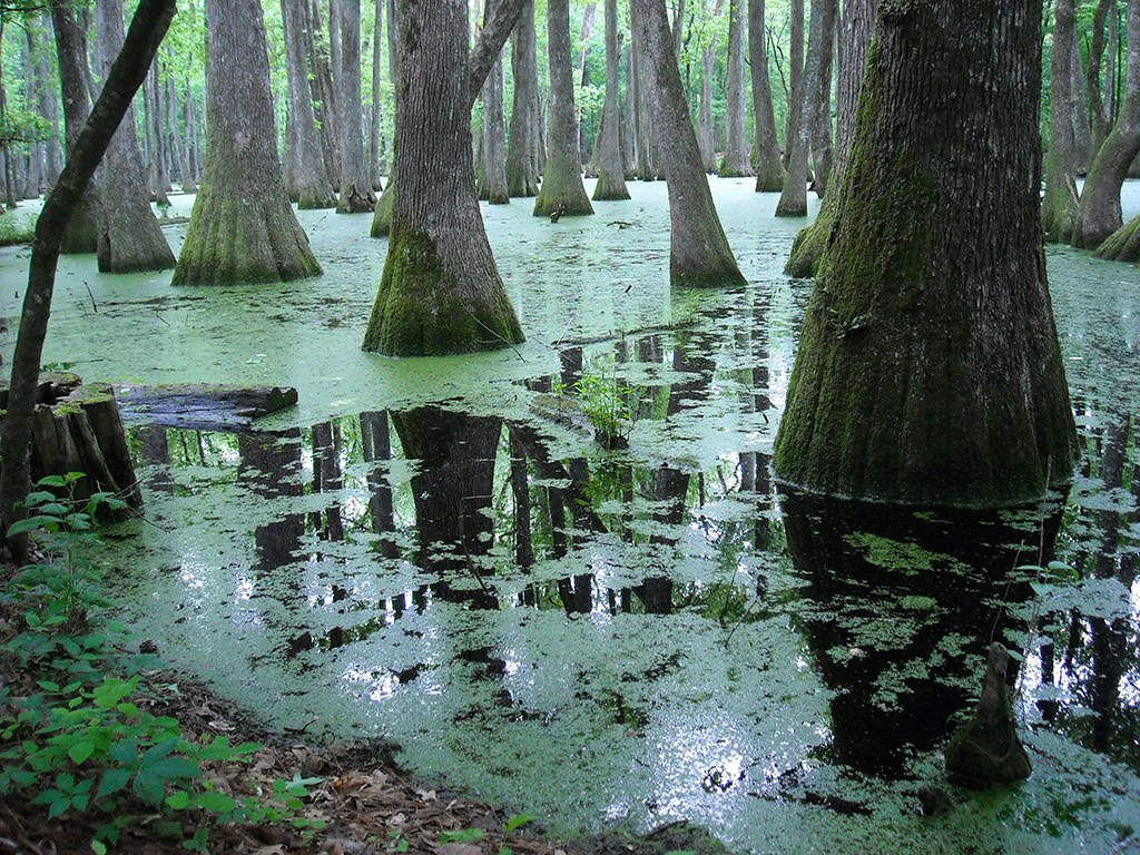
The Yalobusha River is full of pleasant surprises and meanderings and is a paddler’s paradise from the dam in Grenada to its end. Claimed to be “one of Mississippi’s treasures,” it flows through the Malmaison Wildlife Management Area, displays sycamore, birch, maple, and willow forests along its banks, hosts and abundance of wildlife from beaver to red-tailed hawks and blue herons, and possesses some fine sandbars and clear water. It is floatable at virtually any level; even in flood the river is fairly docile. There are many opportunities for camping and other outdoor recreational opportunities along its path. This route flows through the gorgeous Malmaison Wildlife Management Area for about half its distance.
Mississippi, Biloxi
01 :28 hrs
3.5 mi
7.593504 ft
III
Launched at Kuhn Street boat ramp and kayaked down the north side of Deer Island.
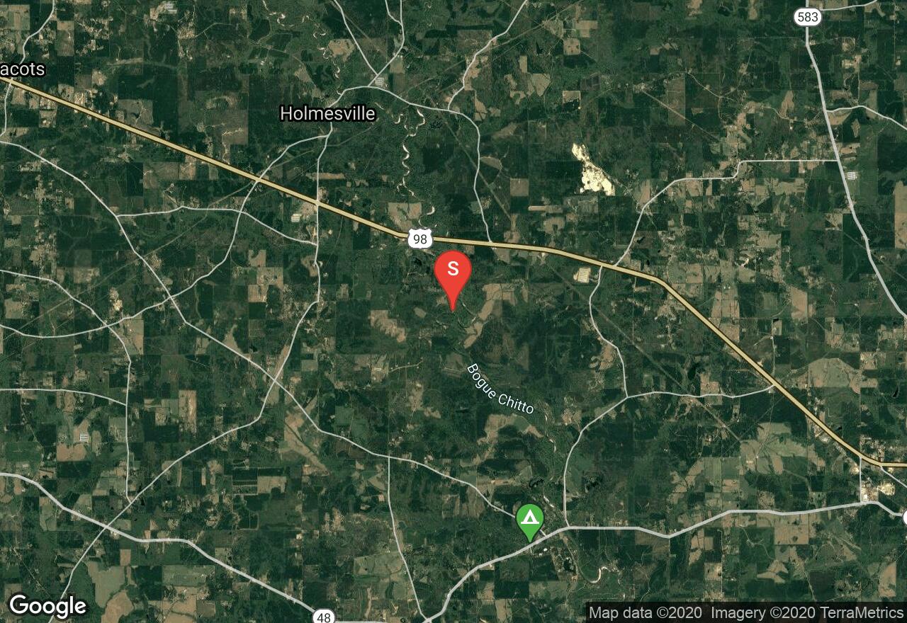
Mississippi, Pike County
02 :53 hrs
6.8 mi
7.4956665 ft
I
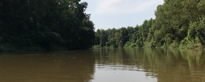
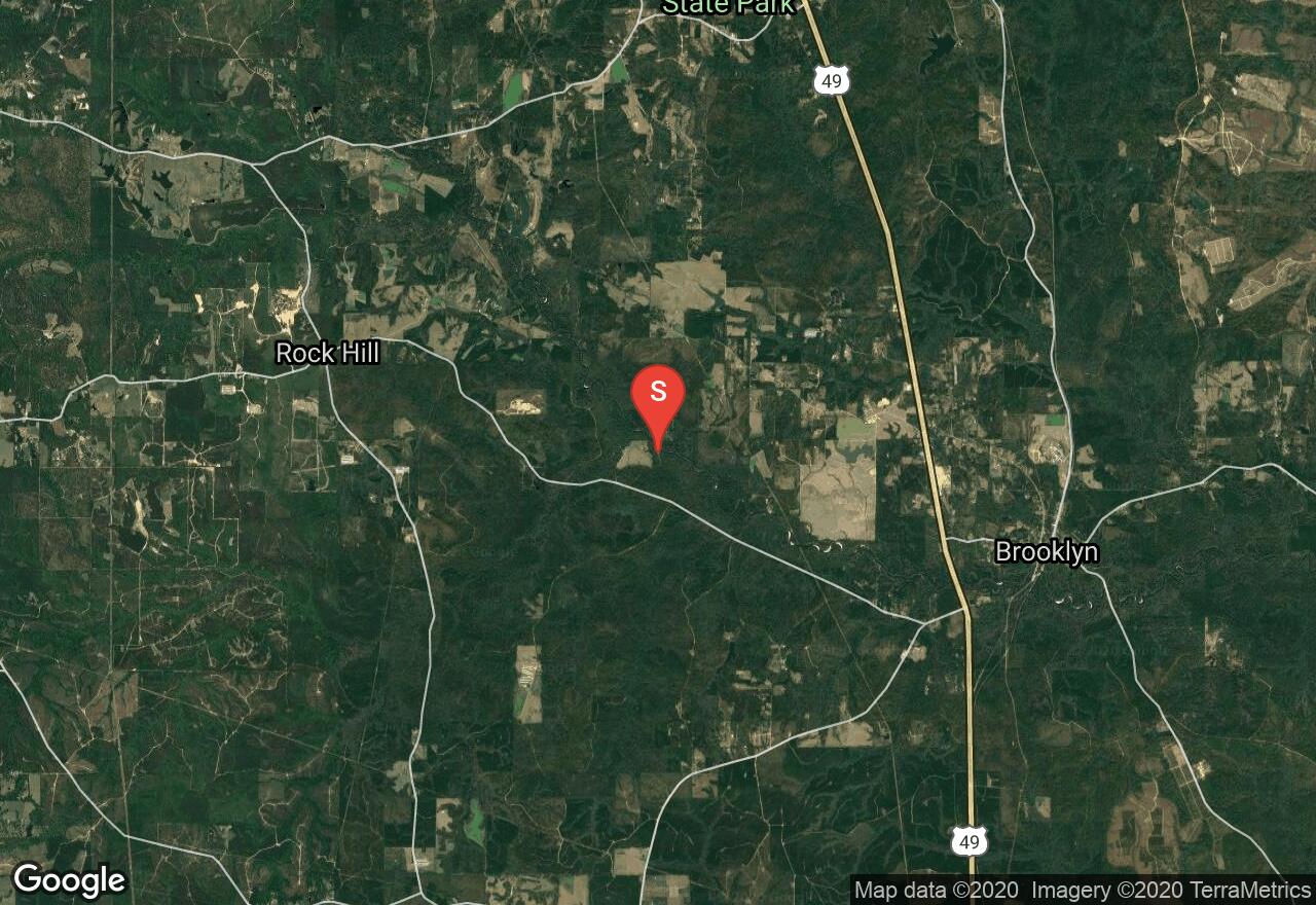
The Bogue Chitto River is tiny and logjammed in its upper reaches but as it extends into Pike County, it widens into one of the prettiest and most popular paddling rivers in Mississippi. It is not too small that you are constantly fighting logjams yet not too big that you are forever fighting headwinds. It has a swift current with sharp bends and submerged logs that will keep your attention. The river abounds in wildlife, the water is clear and the scenery is gorgeous, alternating with woods and sandbars. This stretch offers a very pleasant float with gorgeous forested scenery. It can become very busy on weekends and in the summer, especially as you approach the water park. There are canoe rental companies available near the park as well.
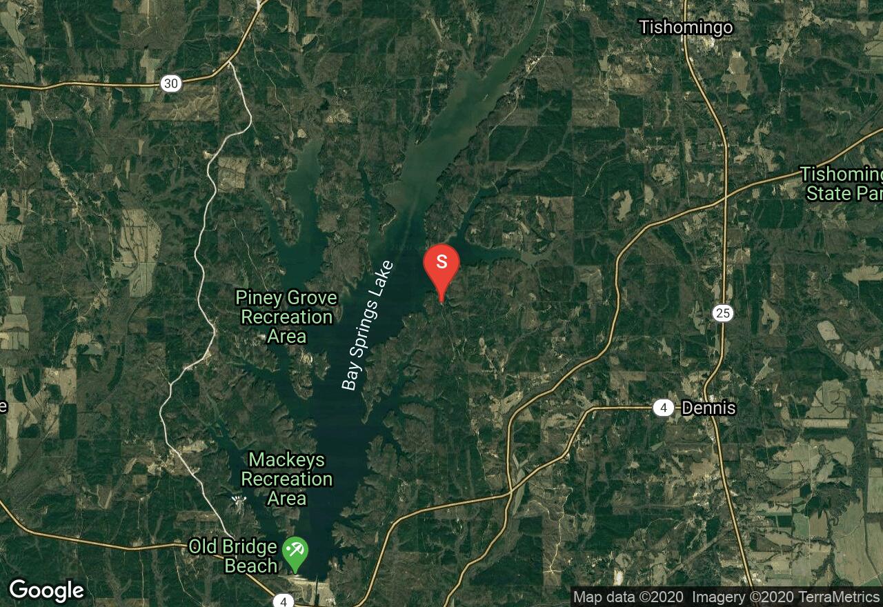
Mississippi, Tishomingo County
12 :20 hrs
29 mi
4.399925 ft
I
The Tennessee Tombigbee Waterway links the Tennessee and Tombigbee Rivers in northeast Mississippi. It has no current, is frequented by barges and motorboats, and often presents nothing more than a rock-lined canal. But it is one of the major waterways in the South and it passes through some superb wildlife areas. It is quite popular with many types of watercraft. Wildlife abounds along the waterway, beautiful hardwood forests and brushy areas fill the banks, and many campgrounds are nearby. With so many boat ramps and access points, paddling options are limitless. Bay Springs Lake is one of the most beautiful spots on the waterway. The beach-rimmed, piney-woods lake contains countless coves big and small. It is heavily used on summer weekends, but at off times the lake may be virtually deserted. The lock drops you 84 feet where you can have a whole new experience and new vistas.
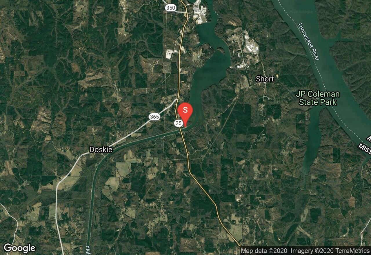
Mississippi, Tishomingo County
05 :56 hrs
14 mi
6.799988 ft
I
The Tennessee Tombigbee Waterway links the Tennessee and Tombigbee Rivers in northeast Mississippi. It has no current, is frequented by barges and motorboats, and often presents nothing more than a rock-lined canal. But it is one of the major waterways in the South and it passes through some superb wildlife areas. It is quite popular with many types of watercraft. Wildlife abounds along the waterway, beautiful hardwood forests and brushy areas fill the banks, and many campgrounds are nearby. With so many boat ramps and access points, paddling options are limitless. This area is actually a lake and is well-worth exploring. It contains rocky bluffs draped with forests that display phenomenal foliage in the fall.
Mississippi, Pike County
02 :08 hrs
5.1 mi
9.762527 ft
I
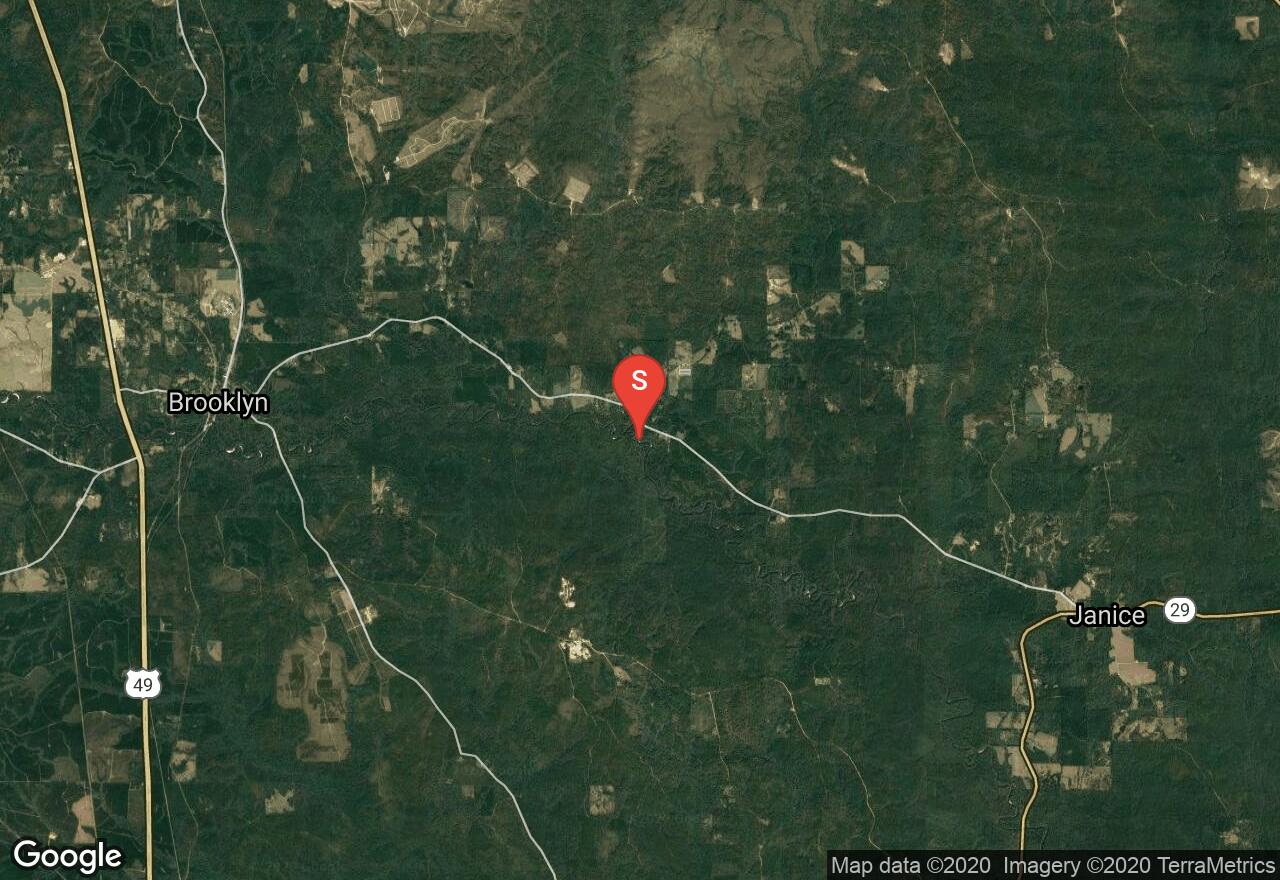
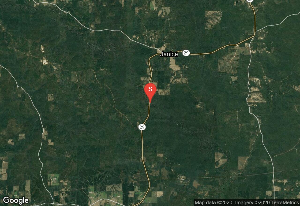
The Bogue Chitto River is tiny and logjammed in its upper reaches but as it extends into Pike County, it widens into one of the prettiest and most popular paddling rivers in Mississippi. It is not too small that you are constantly fighting logjams yet not too big that you are forever fighting headwinds. It has a swift current with sharp bends and submerged logs that will keep your attention. The river abounds in wildlife, the water is clear and the scenery is gorgeous, alternating with woods and sandbars. This section includes perhaps the finest stretch on the river from Bogue Chitto Water Park to just below Highway 48 in Walthall. The river is narrow enough to provide shade, tricky enough not to be dull, and has little sign of human presence. Wildlife is abundant and ospreys are frequently spotted.
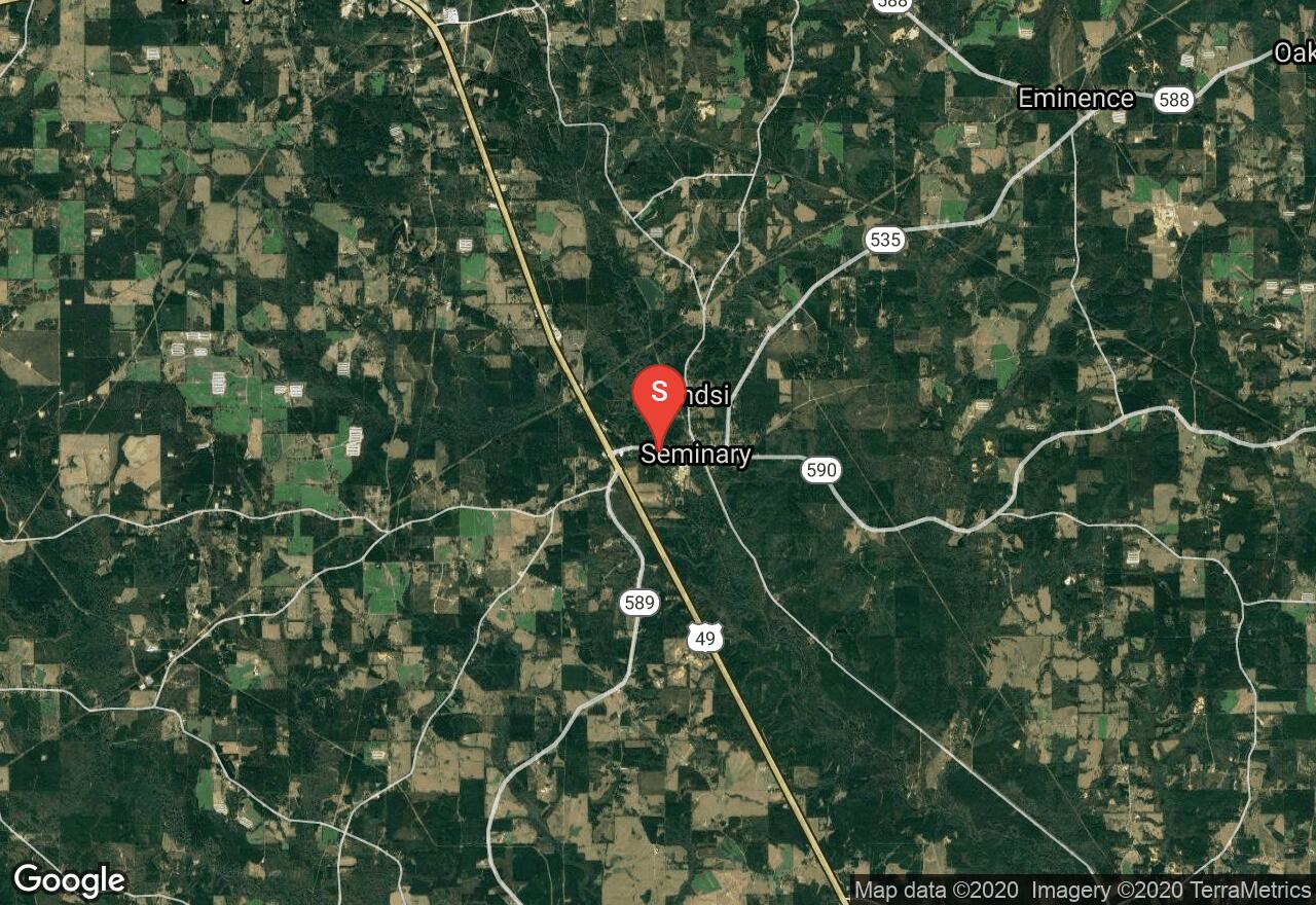
Mississippi, Covington County
04 :02 hrs
9.5 mi
11.642513 ft
II
Mississippi is not a state that has a lot of whitewater. Several streams have occasional chutes and drop-offs, but only the Okatoma is renowned for its whitewater. The Okatoma Creek is just a regular Mississippi creek that happens to have four notable rapids on a popular stretch between Seminary and Sanford. Drawing huge crowds and making the Okatoma one of the most popular floats in the state, these rapids provide quite a thrill. The first rapid contains a fairly easy passage to the left of some rock shoals blocking most of the river. The Chute is a narrow channel on the left that requires paddlers to make a hard right to negotiate the second drop at fast speeds. Okatoma Falls comes 2 miles below the Chute and consists of a straightforward plunge of about 2.5 feet. The last rapids comes right after the falls as the river narrows into a tree-lined gorge and provides some excitement but poses no threat.
Mississippi, Perry County
04 :09 hrs
9.8 mi
10.117439 ft
I
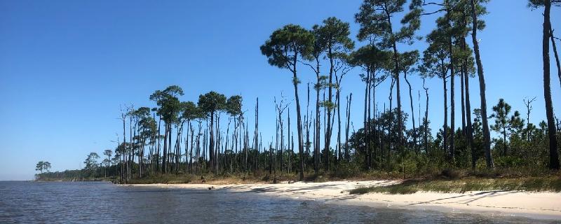
Black Creek is Mississippi’s premier paddling stream. For most of its length it is ideal paddling size, avoiding logjams and strainers of a small creek and motorboats and headwinds of a large river. The current is strong and steady with no whitewater and no stagnant pools and it is located largely in the De Soto National Forest and contains wilderness surroundings and gorgeous scenery. Its name comes from the dark, tannin-stained waters. The dark water is highlighted with white sandbars beneath green forest walls. Many wildflowers and wild berries can be found along the river banks as well. This wonderful stretch of river is a designated national Wild and Scenic River and the Black Creek Wilderness Area fills the surrounding land.
Mississippi, Perry County
02 :28 hrs
5.8 mi
10.996948 ft
I
Black Creek is Mississippi’s premier paddling stream. For most of its length it is ideal paddling size, avoiding logjams and strainers of a small creek and motorboats and headwinds of a large river. The current is strong and steady with no whitewater and no stagnant pools and it is located largely in the De Soto National Forest and contains wilderness surroundings and gorgeous scenery. Its name comes from the dark, tannin-stained waters. The dark water is highlighted with white sandbars beneath green forest walls. Many wildflowers and wild berries can be found along the river banks as well. Beaverdam Creek enters just below the put-in and is an impressive little brook worth exploring on foot, either by wading or following the segment of Black Creek Trail that loops around it.
Mississippi, Hattiesburg
02 :15 hrs
5.4 mi
7.9778214 ft
I
Black Creek is Mississippi’s premier paddling stream. For most of its length it is ideal paddling size, avoiding logjams and strainers of a small creek and motorboats and headwinds of a large river. The current is strong and steady with no whitewater and no stagnant pools and it is located largely in the De Soto National Forest and contains wilderness surroundings and gorgeous scenery. Its name comes from the dark, tannin-stained waters. The dark water is highlighted with white sandbars beneath green forest walls. Many wildflowers and wild berries can be found along the river banks as well. On this stretch you will float down several lovely, meandering miles with quiet, peaceful scenery. On busy weekends and holidays you are likely to meet many others also enjoying this segment of the river.
See more adventures..
Explore complete list
Explore nearby adventures

