Best Sea Kayaking in Mississippi
Trying to find the best sea kayaking in Mississippi? Bivy has great hiking, biking, paddling, climbing, skiing, riding and more, with hand-curated trail maps, as well as detailed driving directions.

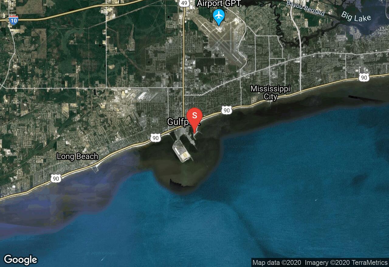
Mississippi, Gulfport
13 :26 hrs
33.6 mi
0.42277518 ft
SK V
The Gulf Islands National Seashore is one of the prime places to paddle along the Mississippi Coast and is headquartered in Ocean Springs. Ship Island is the collective name for two barrier islands, East Ship Island and West Ship Island. Hurricane Camille split the once single island into two separate islands in 1969. Fort Massachusetts is found on the western end and pine, cedar, and live-oak dominate the wooded areas. Evidence of Hurricane Katrina is easily found as well.
Mississippi, Gulfport
10 :15 hrs
12.8 mi
0.3679123 ft
SK V
The Gulf Islands National Seashore is one of the prime places to paddle along the Mississippi Coast and is headquartered in Ocean Springs. Cat Island is the westernmost island and is a perfect playground for paddlers. Its unique T-shape was created by colliding Gulf currents. The beautiful sandy beaches are backed by dense forests of slash pines and live oaks. Bayous and marshes on Cat Island are home to alligators as well as refuge to migratory birds. The scenery is spectacular and there are many places to explore.
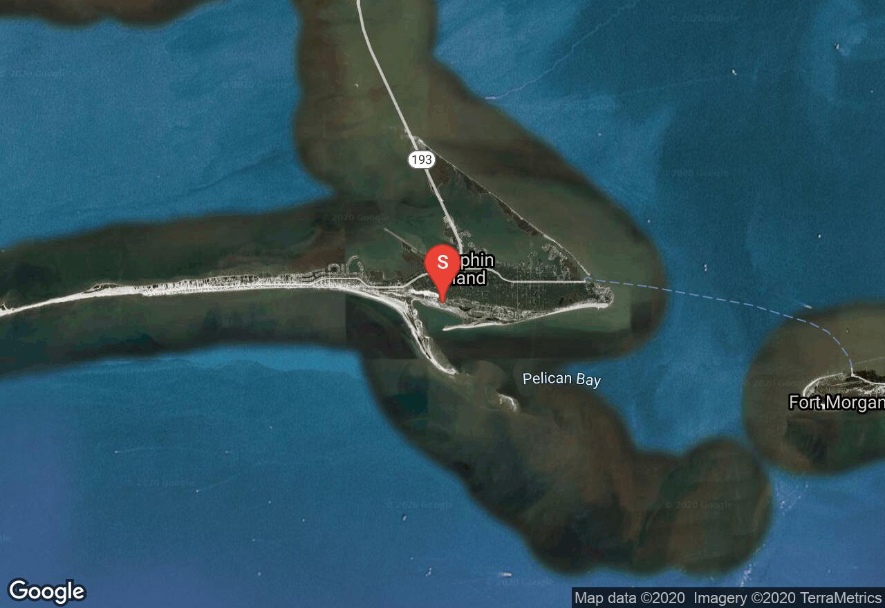
Alabama, Dauphin Island
01 :52 hrs
2.3 mi
4.8 ft
SK II
A great intro into Sea Kayaking, Sand Island off of Dauphin Island along Pelican Bay provides beginners and veterans with abundant marine wildlife, white sand beaches and green and gold sea oats for viewing pleasure. Begin from Dauphin Island beach near Isle Dauphin Golf Club as you make your way through the waters of the gulf of Mexico. Depending on your time commitment, you can choose to paddle around the island or paddle along one side. Harsh southerly winds and hurricanes continue to push the sands northward, ever changing the landscape of this island. Always get a weather report before paddling upon open water.
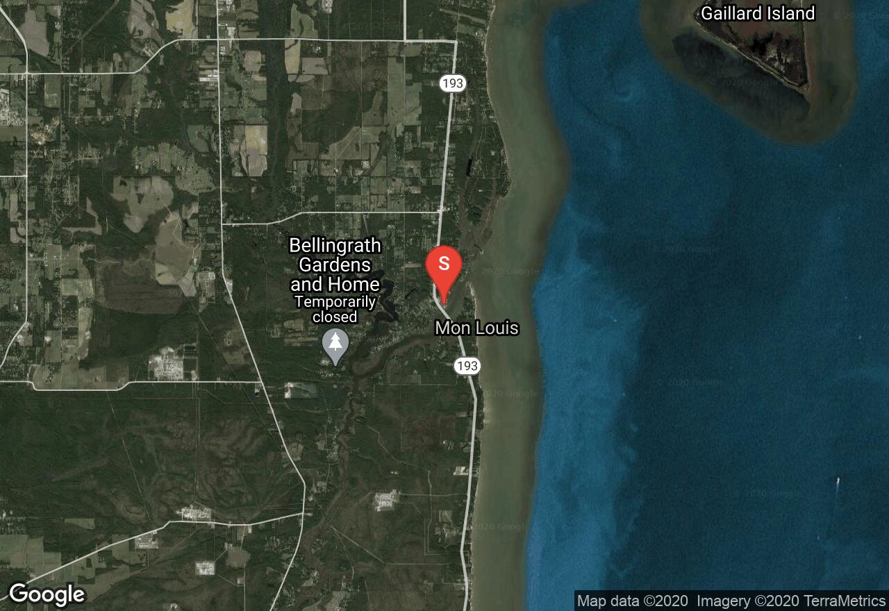
Alabama, Mobile County
01 :51 hrs
4.6 mi
1.6 ft
SK I
Located along the western edge of Alabama’s Mobile Bay, this trip begins from Fowl River Marina ($5 use fee), and travels north to Goat Island by way of East Fowl River. There are many possible routes throughout the area. This particular trip travels in a counter clockwise direction around the island, while also exploring the various side sloughs and inlets the area has to offer. End this trip by traveling back to Fowl River Marina. This trip has a small portion of open water paddling located at the entrance of Fowl River. Choppy waters may be present in this area along Mobile Bay.
Alabama, Mobile County
09 :29 hrs
23.7 mi
2.1 ft
SK II
Located along the western edge of Alabama’s Mobile Bay, this trip begins from Memories Fish Camp boat launch ($3 use fee). Travel south down Muddy Creek and Dykes Creek as it then turns into Fowl River. At the split continue to head south down West Fowl River into the Mississippi Sound and Fowl River Bay. This particular trip continues into the bay and around Turtleback Island before ending in Heron Bay at Jemison’s Launch. If you would like a shorter distance trip,or are traveling in a canoe, you have the option of ending at Delta Port Marina before heading into open waters of the bay area.

Mississippi, Pascagoula
06 :02 hrs
15.1 mi
0.4726448 ft
SK V
The Gulf Islands National Seashore is one of the prime places to paddle along the Mississippi Coast and is headquartered in Ocean Springs. Petit Bois Island is the easternmost island located south of Pascagoula. The island originally extended about 7 miles east of the Alabama-Mississippi state line and was effectively located in both states but between 1933 and 1968 the eastern end of the island eroded due to the effects of hurricanes and natural shoreline movement. The island is now approximately 6 miles long and serves as a habitat for gulls, terns, plovers, alligators, and other wildlife. Petit Bois in French means “little woods” and was so named by the early French explorers due to a small wooded section on the eastern end that is mostly non-existent since Hurricane Katrina. The island consists mostly of sand and scrub.
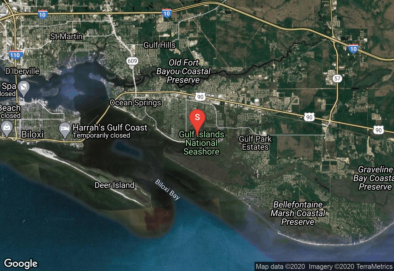
Mississippi, Ocean Springs
03 :24 hrs
8.5 mi
1.1764591 ft
SK II
The Gulf Islands National Seashore is one of the prime places to paddle along the Mississippi Coast and is headquartered in Ocean Springs. There are four bayous within the park. Halstead Bayou winds west past the campground, Stark Bayou runs north to a park road, a smaller bayou meanders east beside the William M. Colmer Visitor Center, and Davis Bayou opens out to Biloxi Bay. All of these areas offer a beautiful sample of marsh, an abundance of wildlife, and bird-crowded sand pits. All four of these bayous are easy paddling except Davis Bayou which is wide and subject to strong winds. When the breeze is light you can paddle inland several miles.
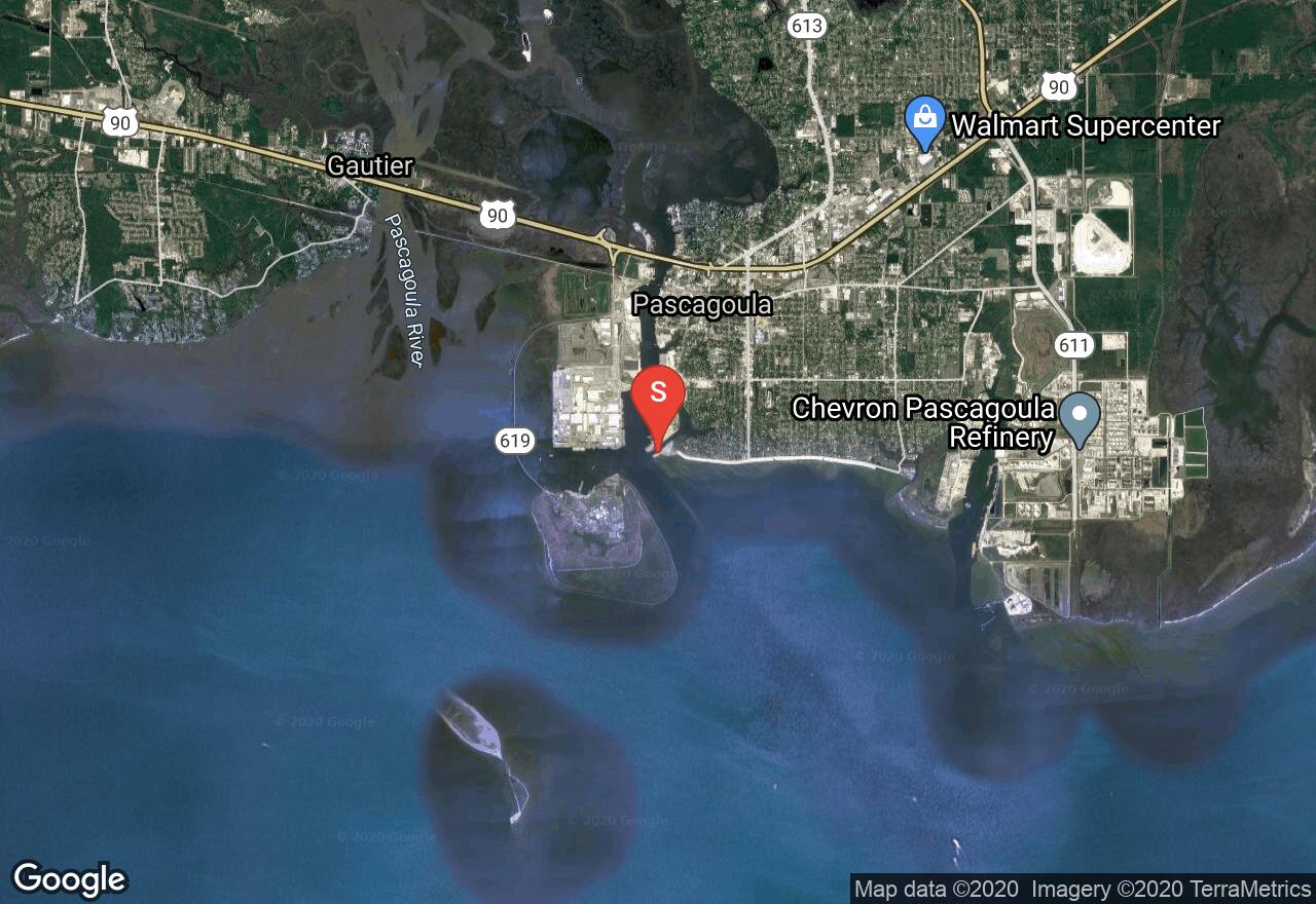
Mississippi, Pascagoula
03 :25 hrs
8.5 mi
0.29415828 ft
SK III
Round Island is a small, uninhabited island located in the Mississippi Sound just a few miles off shore from Pascagoula. It has beautiful, long sand beaches and sparse forests of slash pine, and some interior marshes. The island provides feeding, resting, and wintering habitat for migratory birds, including the brown and white pelicans and cormorants. A number of rare or endangered species, including the American alligator are found there. Hurricane Katrina did lots of damage that included destruction of the lighthouse and cutting channels partly pr completely through it. Round Island provides a great opportunity to explore an offshore island in much less distance than one of the Gulf National Seashore Barrier Islands.
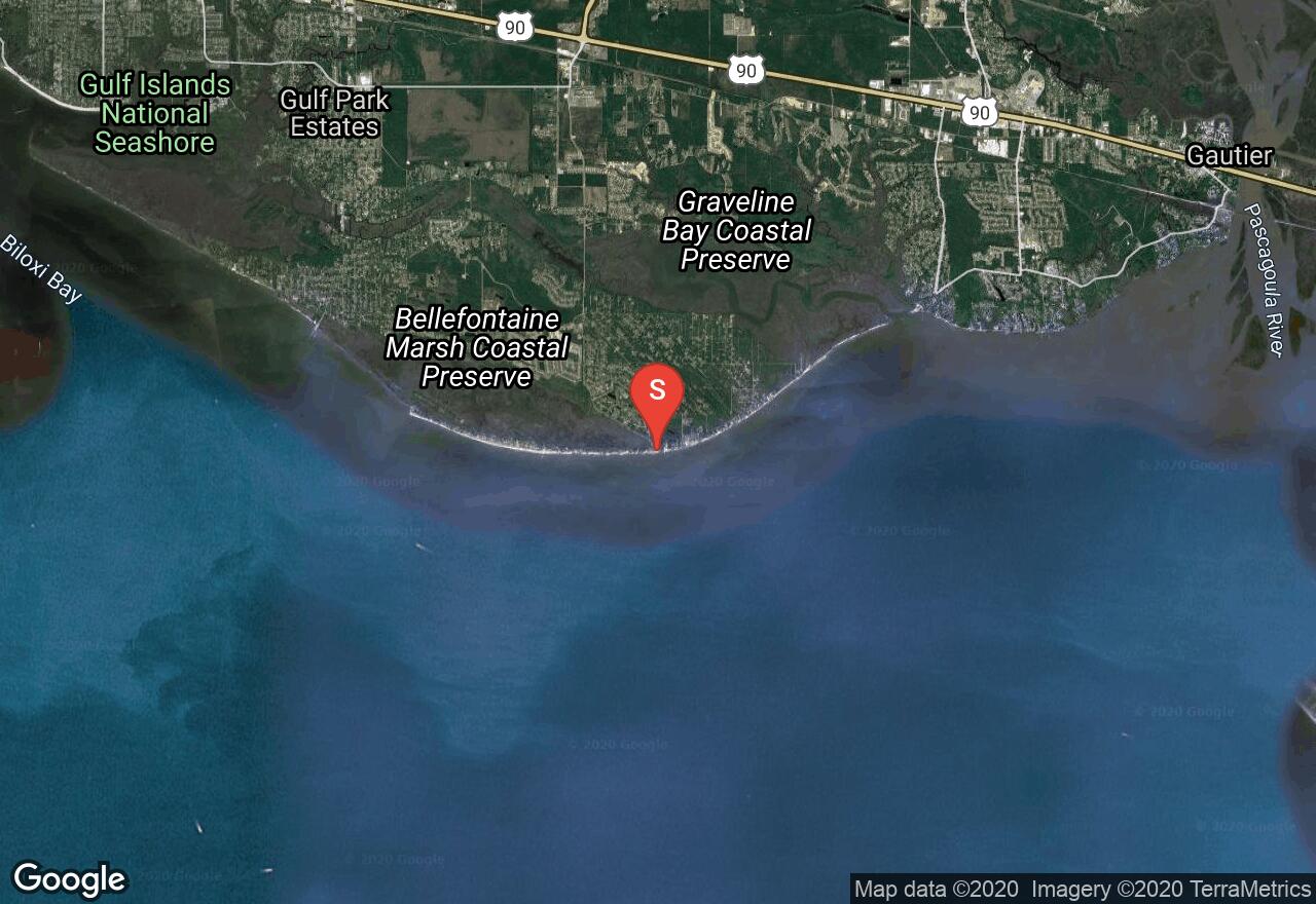
Mississippi, Jackson County
08 :03 hrs
10.1 mi
0.9750935 ft
SK V
The Gulf Islands National Seashore is one of the prime places to paddle along the Mississippi Coast and is headquartered in Ocean Springs. This route leaves from Ocean Springs Beach off of South Belle Fontaine Drive and crosses a gap of over six feet to reach Horn Island. The island is 13 miles long and up to ¾ of a mile wide and is home to a variety of wildlife. In addition to the wild hogs, ospreys, bald eagles, deer, rabbits, raccoons, and alligators there are fierce biting insects. The sandy beaches are long and beautiful, views out into the open sea are endless, and footpaths cross the island, allowing you to explore its lagoons, marshes, and thickets. Take caution as waves can build quickly and unexpectedly and other dangers of the open sea are prevalent.
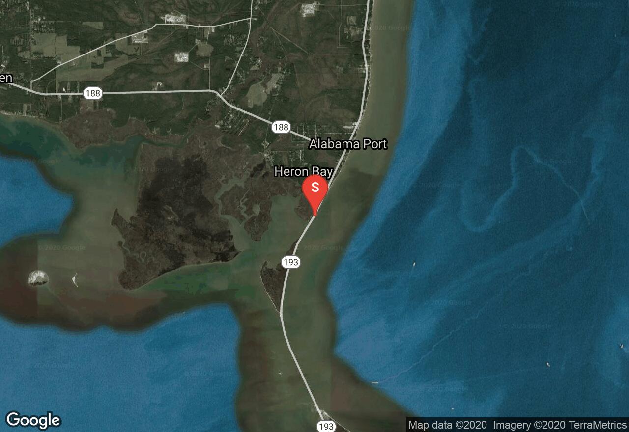
Alabama, Mobile County
05 :28 hrs
13.7 mi
1.0000001 ft
SK II
Located along the edges of the Mobile Bay and the Mississippi Sound, this trip begins from Heron Bay/ Jemison’s Launch. From here you will travel in a counter clockwise direction exploring the many creeks, bayous and sloughs that border the entire Heron Bay area. Your trip will end back at Jemison’s Launch. With many options in this area to paddle, you can have a different trip route with each visit. Along this route you will view a wide variety of wildlife and also have the option of some great fishing. This area is a semi-protected region of water unless the winds are coming from the southwest direction which will then cause choppy waves. The current is noticeable heading either north or south. This trip can easily be turned into a multi-day route, if the proper gear and equipment is at hand.
See more adventures..
Explore complete list
Explore nearby adventures

