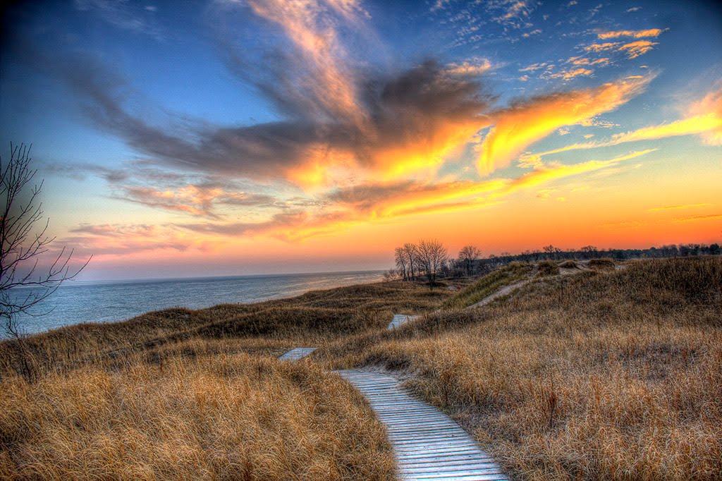
Best Rafting in Wisconsin
Trying to find the best rafting in Wisconsin? Bivy has great hiking, biking, paddling, climbing, skiing, riding and more, with hand-curated trail maps, as well as detailed driving directions.

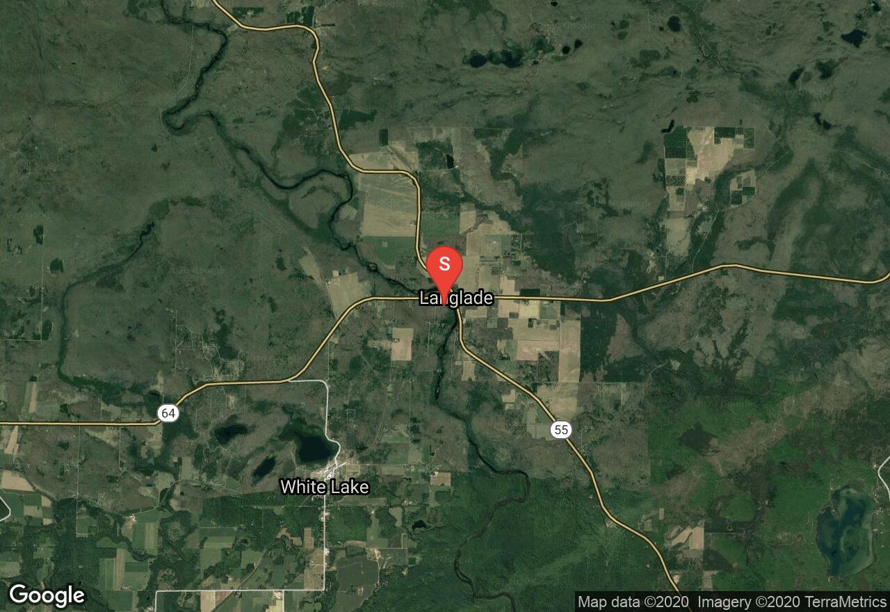
Wisconsin, Langlade County
04 :57 hrs
10.3 mi
57.002472 ft
III
This is a popular and famous river that contains both winding quietwater and exciting whitewater. This is an ideal stretch for those who wish to enjoy both whitewater and scenic quietwater. There are six long, complex rapids to make this an enjoyable trip for intermediate and advanced paddlers. The six rapids on this route require maneuvering through twists in the river, boulder gardens, fast chutes, and ledges. Hanson’s Rapids is a favorite play spot because of its fast chutes, strong eddies, and surfing waves and holes. All six are Class II rapids but on moderately high water levels many become Class IIIs.
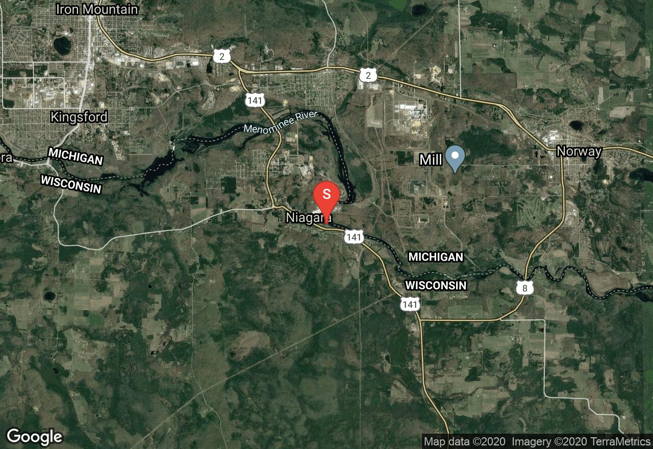
Wisconsin, Niagara
01 :55 hrs
3.9 mi
9.147003 ft
IV
The Menominee River is a wide and high volume river that is popular with highly skilled whitewater paddlers. This stretch is appropriate for advanced and expert paddlers. The surroundings are beautiful and very scenic. Sand Portage Falls are Class III rapids and the first that you will encounter. This is a great surfing spot. After a wide flatwater stretch you will reach some riffles and Class I rapids leading into a 10-foot drop of Class IV Missicot Falls. The main chute is about 35 feet from the right shore with big waves at the bottom. Big waves are great for surfing on the left side of The Island. Next is the Twin Sisters (Class III) with difficult holes and counter-currents and some tame Class I rapids give a short break before the last drop, Terminal Surfer. There is a huge, tricky hole in the middle of a ledge that spans most of the river.
Wisconsin, Langlade County
06 :08 hrs
12.6 mi
54.02475 ft
IV
This is a popular and famous river that contains both winding quietwater and exciting whitewater. This trip is probably the most popular on the Wolf River and contains the most exciting whitewater on the river as well. A permit is required for each boater per day and there are restrictions on the accesses you may use. Many Class I-III rapids are almost continuous throughout this exciting trip but Big Smoky Falls is the most difficult. An island splits the river and big drops are on both sides. The one on the left is a Class V and is choked with debris and should be avoided under any circumstances. You can take out just upstream of the falls on the left or you can run the falls on the right (Class III). A small ledge begins the long, fast run alongside the rocky island walls, ending in a heart-stopping launch off a 7-foot sheer drop.
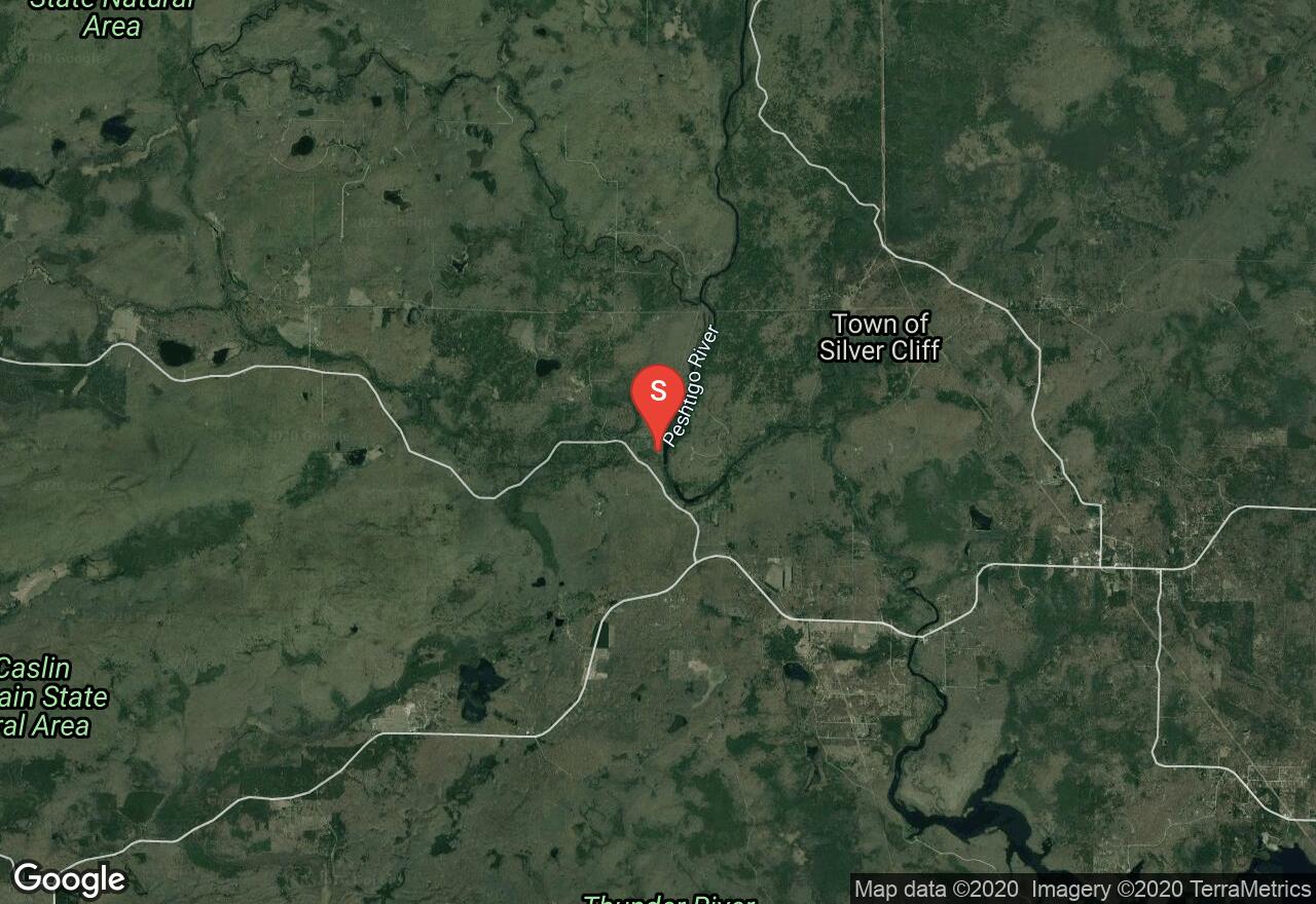
Wisconsin, Marinette County
02 :18 hrs
5 mi
59.373688 ft
IV
The Peshtigo is one of the great paddling rivers in Wisconsin and it provides enjoyable boating over most of its length. It originates north of Crandon near the source of the Wolf River and it empties into Green Bay. Options for flatwater paddlers and whitewater paddlers are present. This short section includes intense whitewater with almost continuous rapids throughout the entire stretch. Some of these include Class II and Class III boulder gardens, several drops, a five-foot river-wide ledge, and S-curve rapids. The rapids are run one after another with very few opportunities for a break.
Wisconsin, Langlade County
04 :57 hrs
10.3 mi
57.043304 ft
III
This is a popular and famous river that contains both winding quietwater and exciting whitewater. This is an ideal stretch for those who wish to enjoy both whitewater and scenic quietwater. There are six long, complex rapids to make this an enjoyable trip for intermediate and advanced paddlers. The six rapids on this route require maneuvering through twists in the river, boulder gardens, fast chutes, and ledges. Hanson’s Rapids is a favorite play spot because of its fast chutes, strong eddies, and surfing waves and holes. All six are Class II rapids but on moderately high water levels many become Class IIIs.
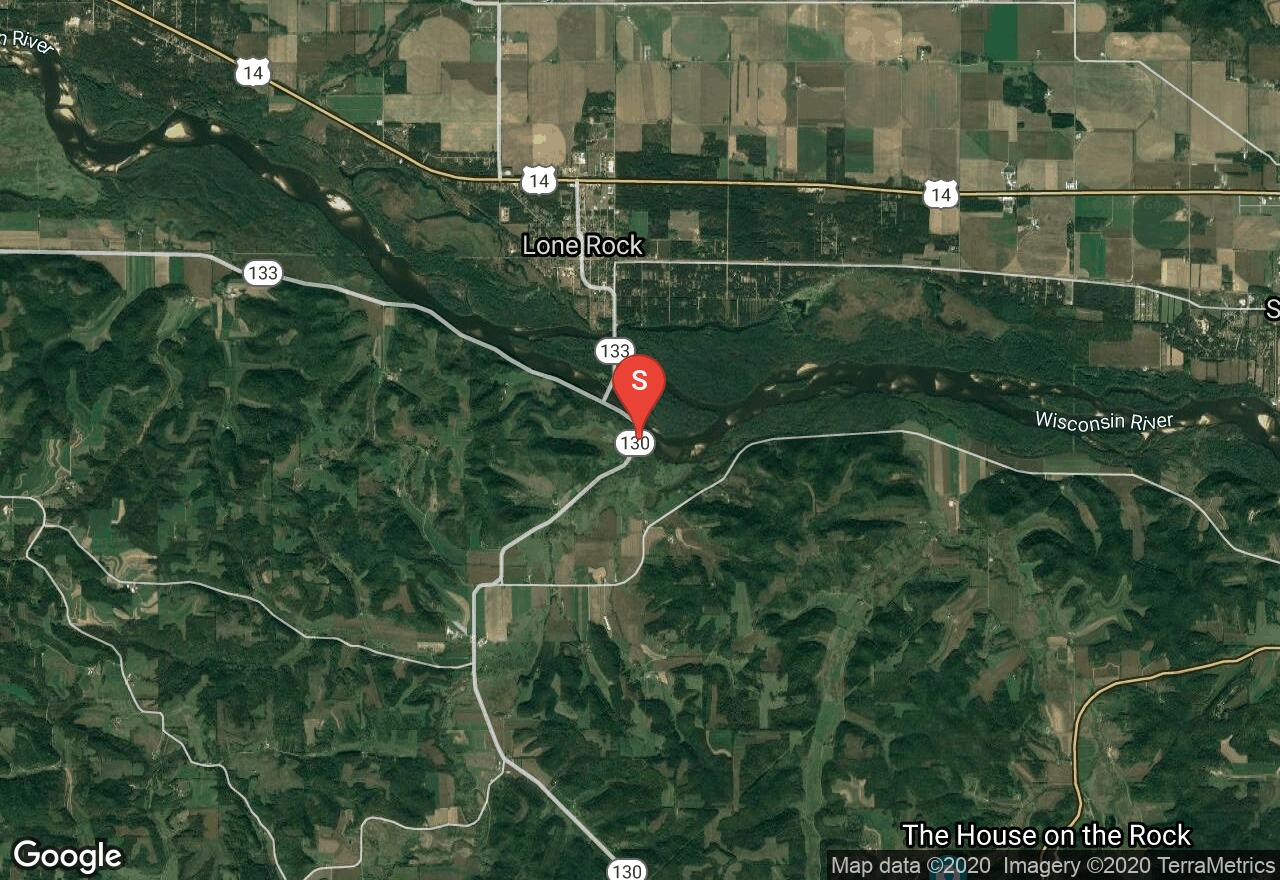
Wisconsin, Iowa County
06 :21 hrs
15 mi
12.006287 ft
I
The Wisconsin River starts as a small stream near the Michigan border and flows south, then west for 430 miles before joining the Mississippi near Prairie du Chien. Many other smaller rivers and creeks join it along the way and make it a major American River. With 26 hydropower dams along its course it is called “The hardest working river in America.” This section is peaceful, studded with islands, and loaded with inviting sandbars and beaches. Bluffs often tower over the shoreline and one unique open area is very beautiful. An annual canoe race covers most of this section in July but the rest of the year you will see far fewer paddlers.
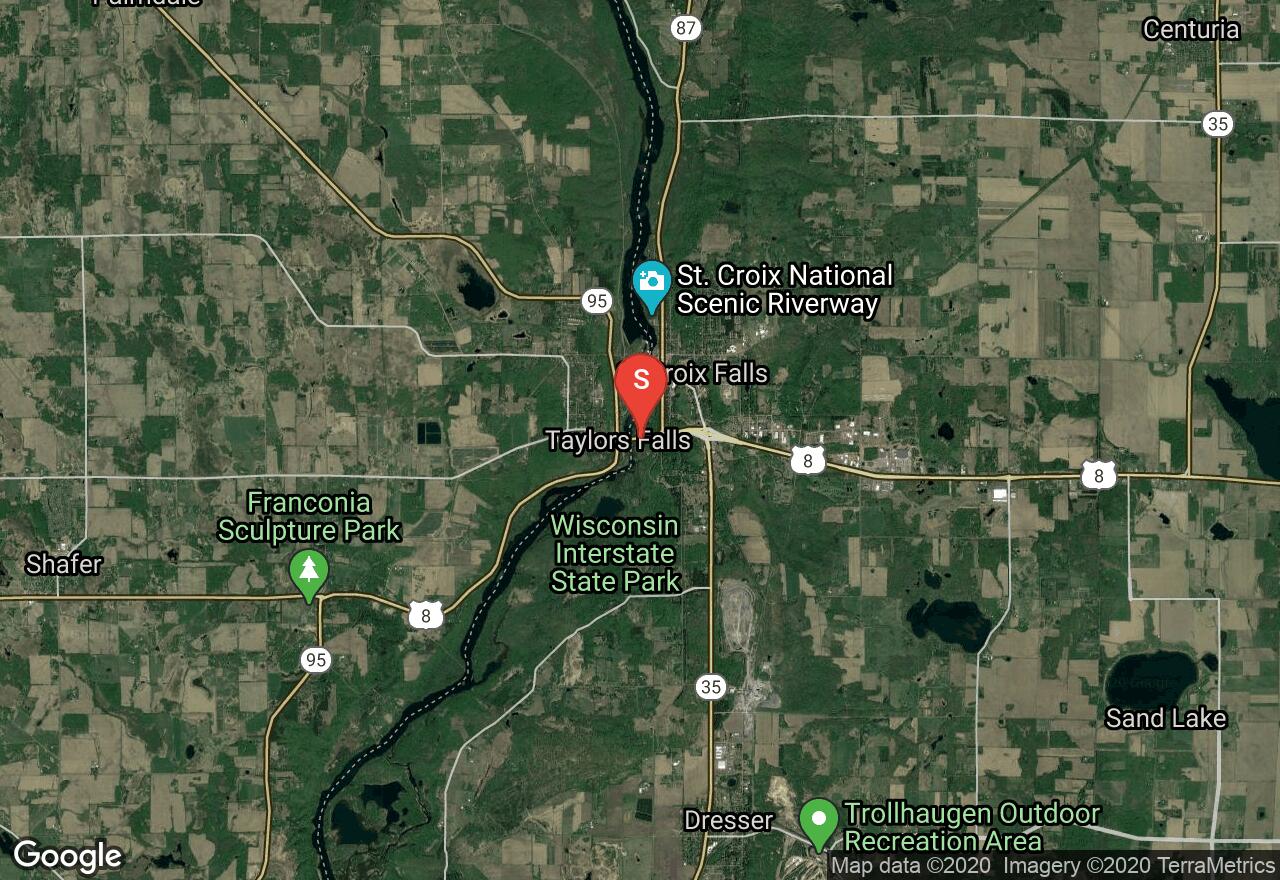
Wisconsin, Polk County
07 :02 hrs
16.7 mi
26.555069 ft
I
This river is part of the St. Croix National Scenic Riverway and is one of the original eight rivers to be protected under the National Wild and Scenic Rivers Act of 1968 and has consequently been preserved in a wonderfully wild state. This last section is arguably the most enjoyable of all. It has magnificent dells carved by the meltwater of the last glacier, cliff, potholes, stony bluffs, islands and other gorgeous scenery. There are no rapids, only occasional small riffles break up the otherwise quietwater.
Wisconsin, Marinette County
03 :54 hrs
9.4 mi
28.297653 ft
III
This is arguably one of the prettiest and most unspoiled rivers in Wisconsin. You will see little development along the Pike, as well as encountering mixed forest, good current, pleasant flatwater, frequent riffles and rapids, and attractive rock formations. Powerline Rapids (Class II) is a drop through a small canyon about 50 yards long. A long stretch of flatwater with a number of pleasant ruffles lead to Scrounge Canyon (Class II), Horseshoe Falls, a Class II curved ledge, and Yellow Bridge Falls (Class III) which involves two pitches and a sheer 5-foot drop with a couple hundred yards of boulder garden to follow.
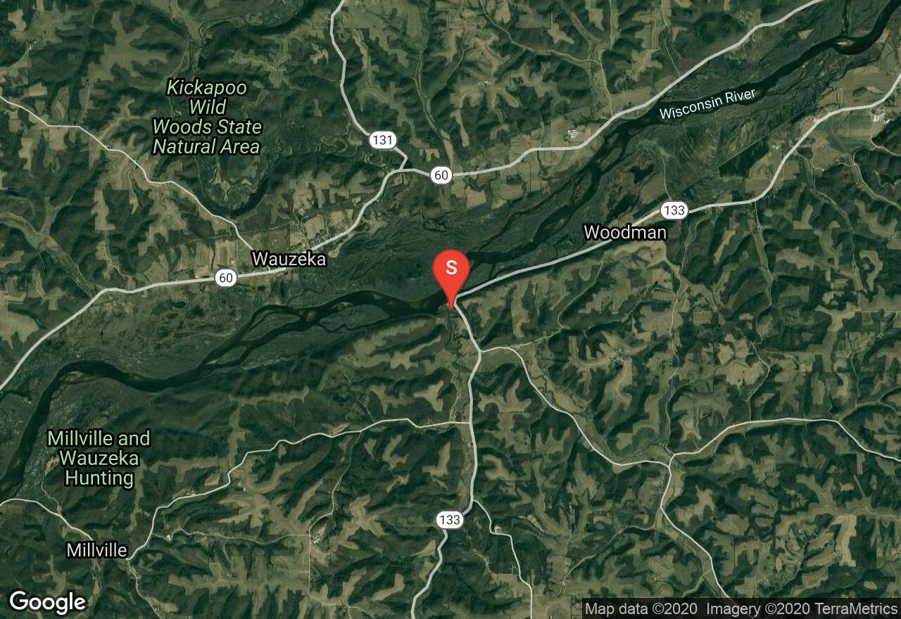
Wisconsin, Grant County
05 :25 hrs
12.7 mi
6.1359863 ft
I
The Wisconsin River starts as a small stream near the Michigan border and flows south, then west for 430 miles before joining the Mississippi near Prairie du Chien. Many other smaller rivers and creeks join it along the way and make it a major American River. With 26 hydropower dams along its course it is called “The hardest working river in America.” This section and the adjacent upstream section comprise the most secluded part of the Lower Wisconsin State Riverway. There is far less company from other boaters and it is very remote. However, it maintains the same level, or higher, of scenic beauty. Glacial meltwater cut through sandstone and limestone, resulting in many riverside bluffs reaching 300- to 400-feet in height. Big islands and many sandbars add to the scenic beauty.
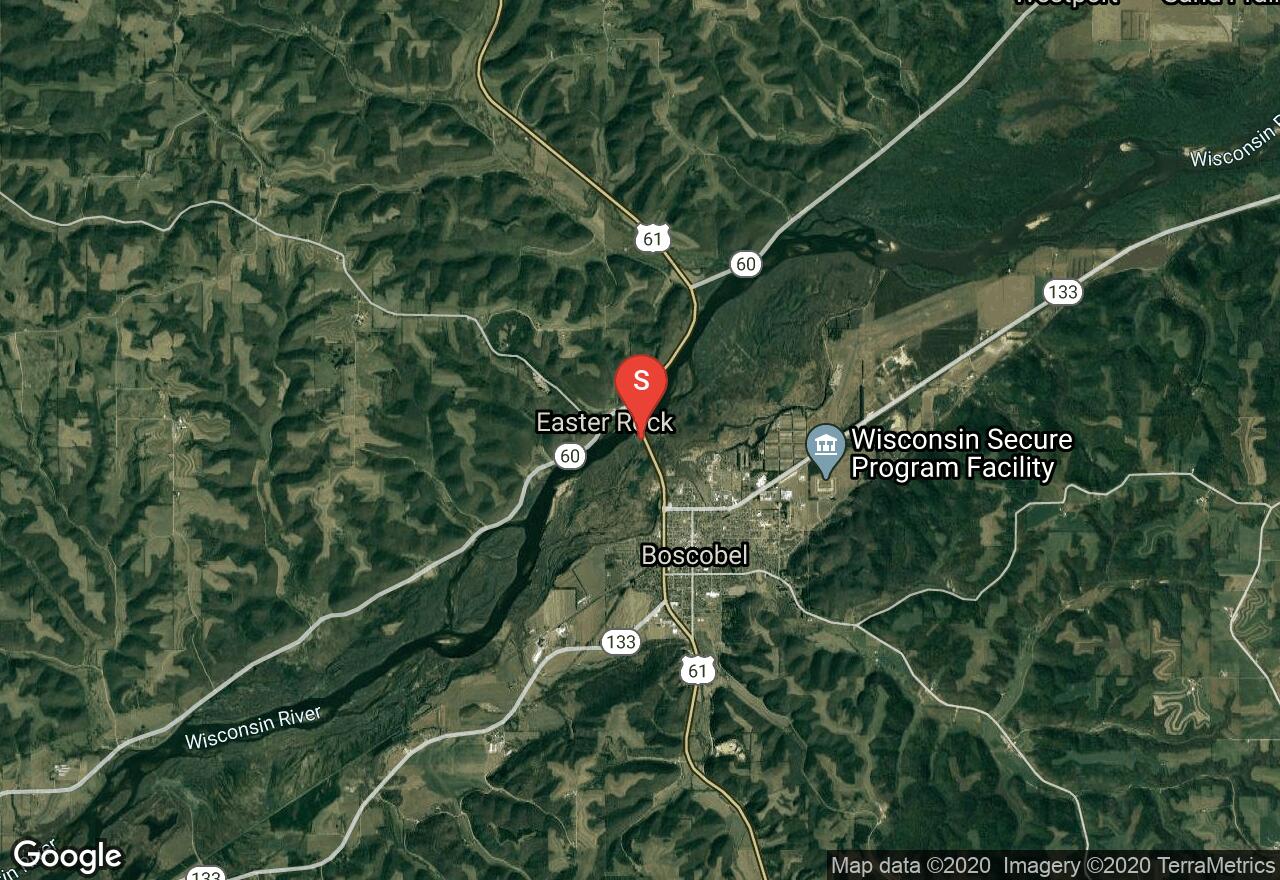
Wisconsin, Boscobel
03 :44 hrs
8.8 mi
4.4095 ft
I
The Wisconsin River starts as a small stream near the Michigan border and flows south, then west for 430 miles before joining the Mississippi near Prairie du Chien. Many other smaller rivers and creeks join it along the way and make it a major American River. With 26 hydropower dams along its course it is called “The hardest working river in America.” This section and the next comprise the most secluded part of the Lower Wisconsin State Riverway. There is far less company from other boaters and it is very remote. However, it maintains the same level, or higher, of scenic beauty. Glacial meltwater cut through sandstone and limestone, resulting in many riverside bluffs reaching 300- to 400-feet in height. Big islands and many sandbars add to the scenic beauty.
See more adventures..
Explore complete list
Explore nearby adventures

