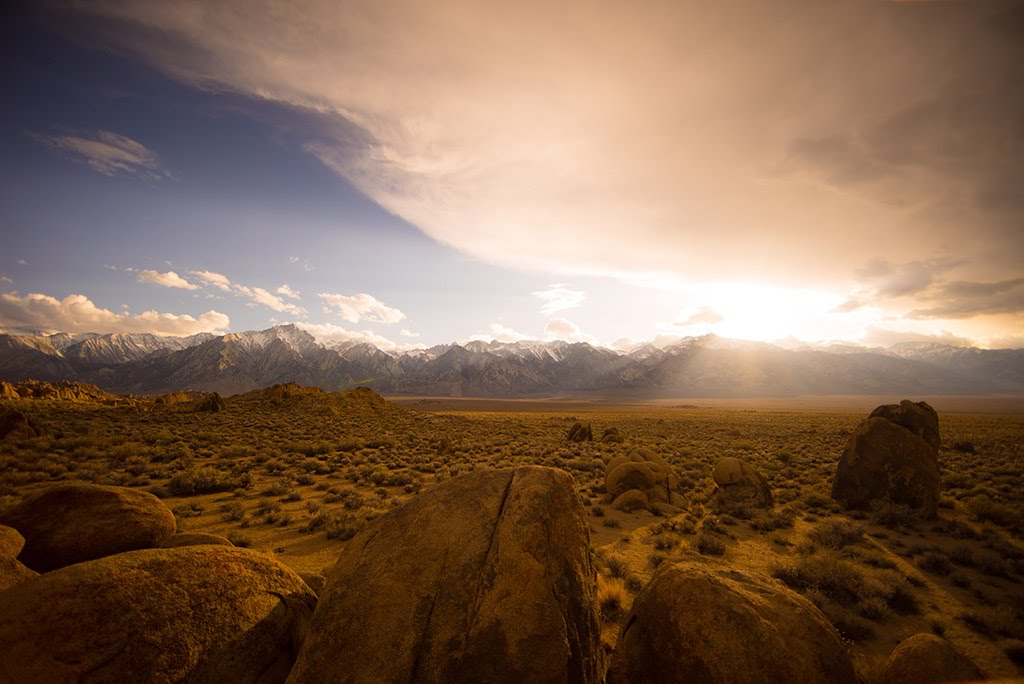
Best Hiking in Guntersville Lake
Trying to find the best hiking in Guntersville Lake ? Bivy has great hiking, biking, paddling, climbing, skiing, riding and more, with hand-curated trail maps, as well as detailed driving directions.
Alabama, Guntersville
01 :17 hrs
3.8 mi
3.9049072 ft
Easy
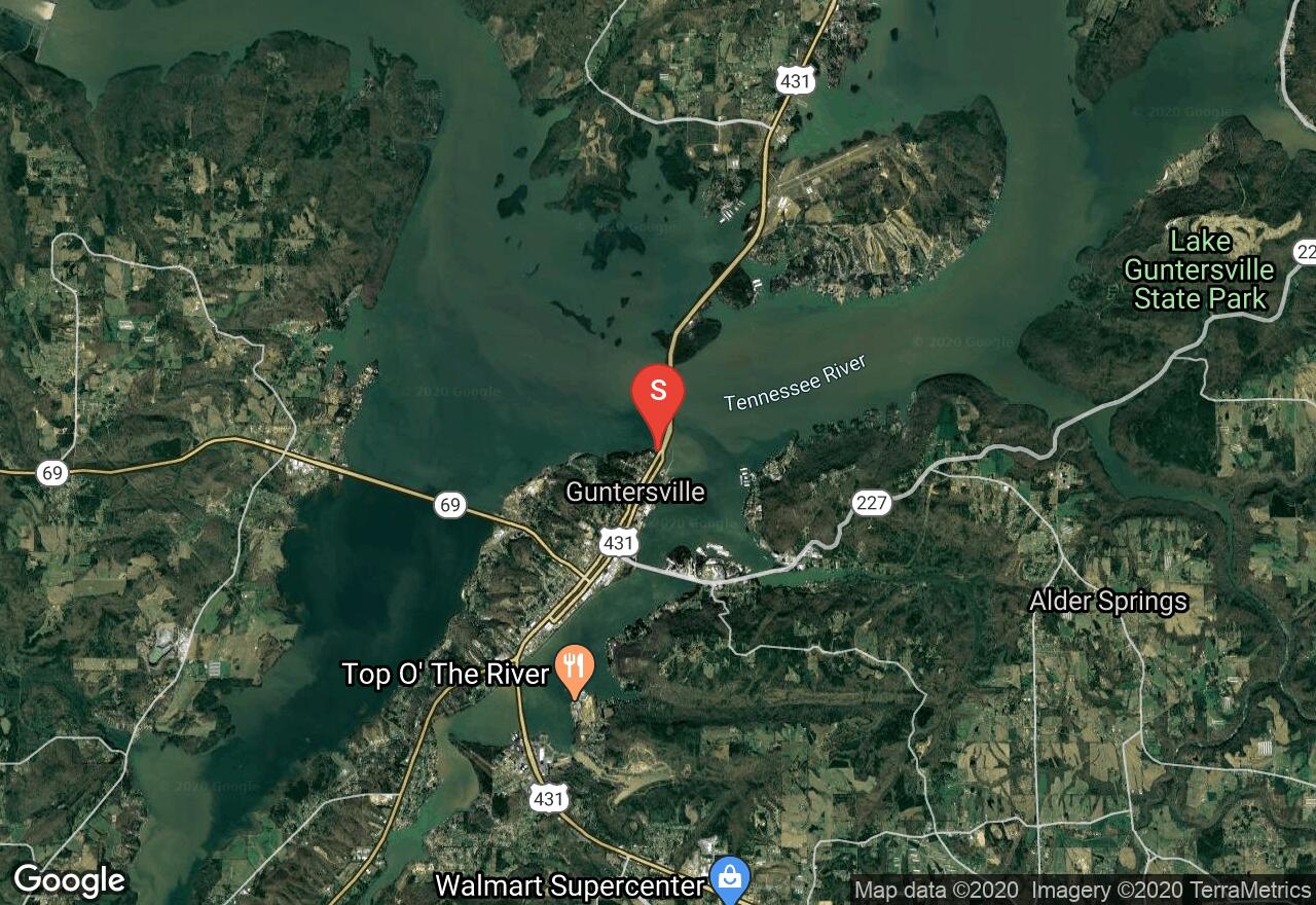
Located along the west side of Guntersville City in north Alabama, this paved recreational trail runs along the shoreline of Lake Guntersville on the Tennessee River. Enjoy the trail as you pass preserved historic city homes as well as great views and vistas of Lake Guntersville. Begin and end at the trailhead located on the south end of Gunter Avenue Bridge. Other recreational activities can be enjoyed as the trail passes behind the Guntersville Recreation Center.
Alabama, Guntersville
01 :28 hrs
3.4 mi
107.17705 ft
Moderate
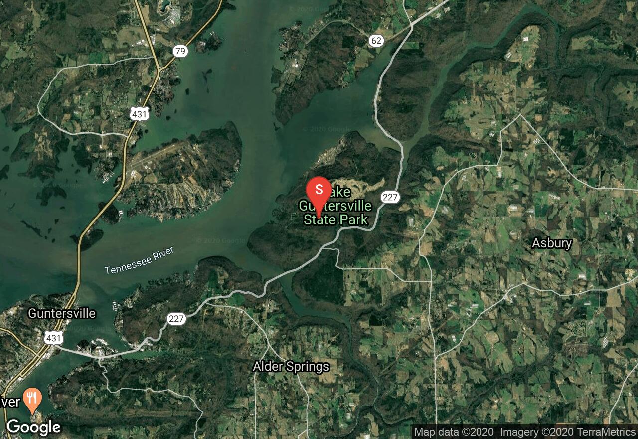
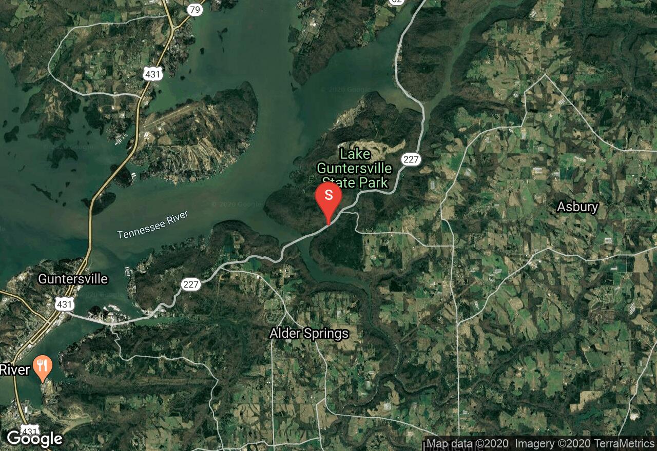
Inside Lake Guntersville State Park you will find many trail options. Linking 4 trials, this loop gives a great perspective on what the State Park trails have to offer. Begin on King’s Chapel Trail passing the old cemetery before linking into the Terrel Trail. Loop around Graveyard Hill before reaching small cascades and a “wet weather waterfall”. Continue the climb passing a small cave on the Cascade Trail before ending the loop back to the trailhead on Waterfall Trail. Allow more time to explore the alternate split trails to see other sites along the way.
Alabama, Guntersville
00 :48 hrs
2.3 mi
24.486801 ft
Moderate
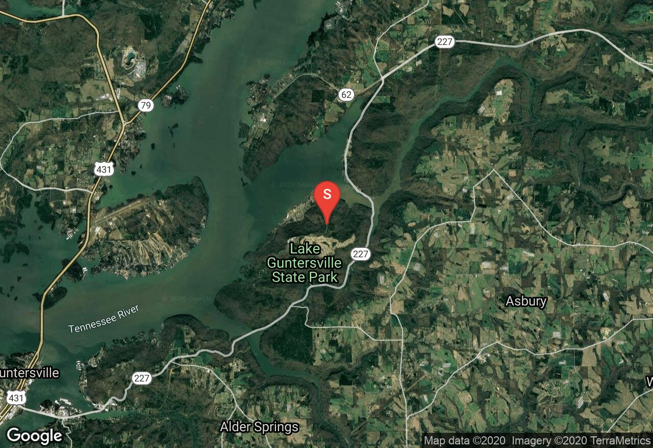
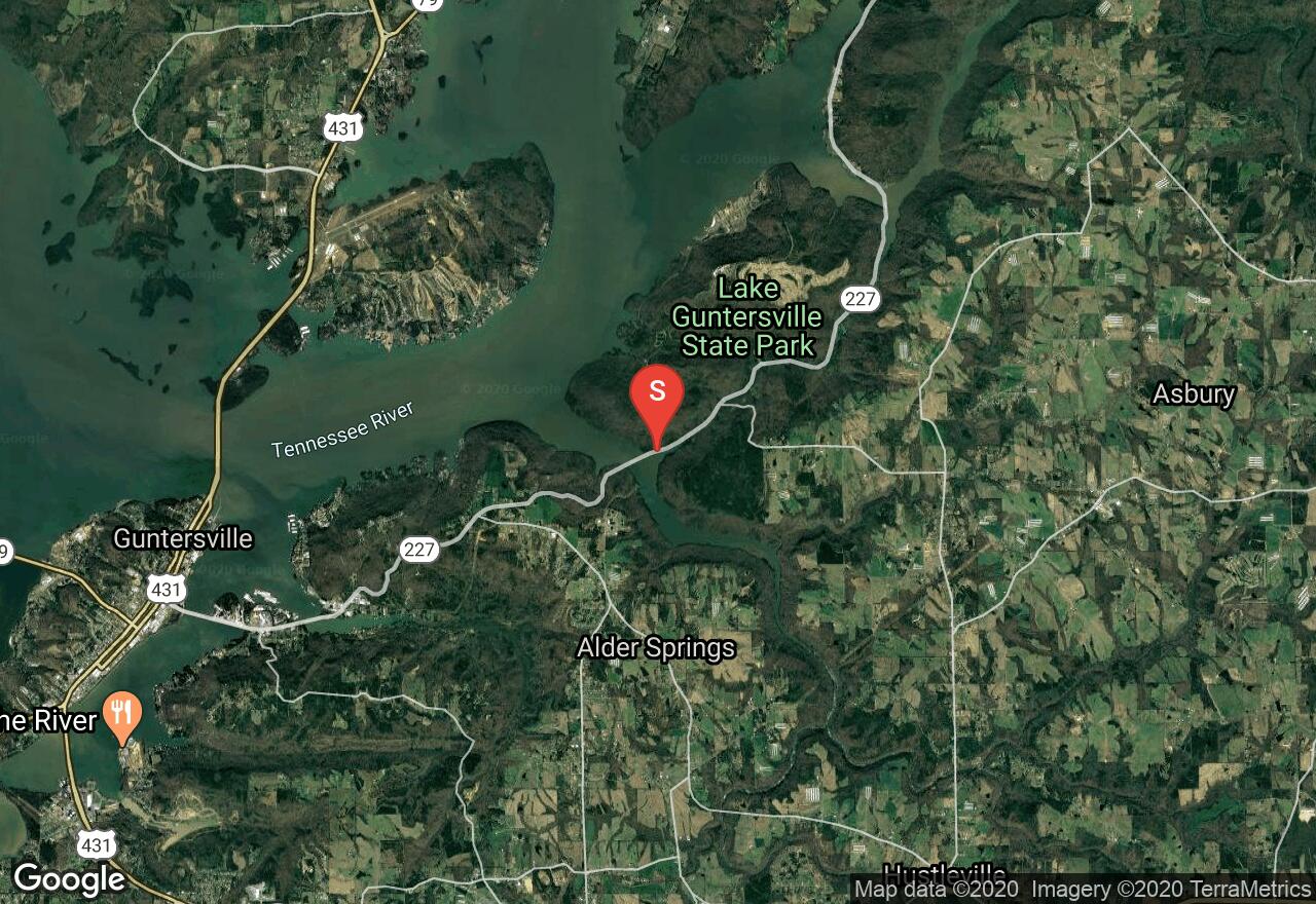
Located inside Lake Guntersville State Park, the Cutchenmine Trail follows an old coal mine road along an inlet of Lake Guntersville and Short Creek. Park up along AL HWY 227 just up the road from the park office. From here, the trail drops into the heavily wooded area along the lake where you will cross a few small bridges as the trail wraps around the base of Sand Mountain. Enjoy the vistas of the lake as well as the plant and animal life. Once coming to the trails end, retrace your steps back to the trailhead.
Alabama, Guntersville
01 :44 hrs
4.3 mi
141.64862 ft
Moderate
Inside Lake Guntersville State Park you will find many trail options. This particular loop takes you through woodlands surrounding the Town Creek embayment of Lake Guntersville before wrapping around the shoreline with rock gardens and bluffs. Leading you right to the main lake body, it then makes it’s way through more rock gardens before the final climb to the trailhead.
Alabama, DeKalb County
01 :19 hrs
1.4 mi
119.70447 ft
Moderate
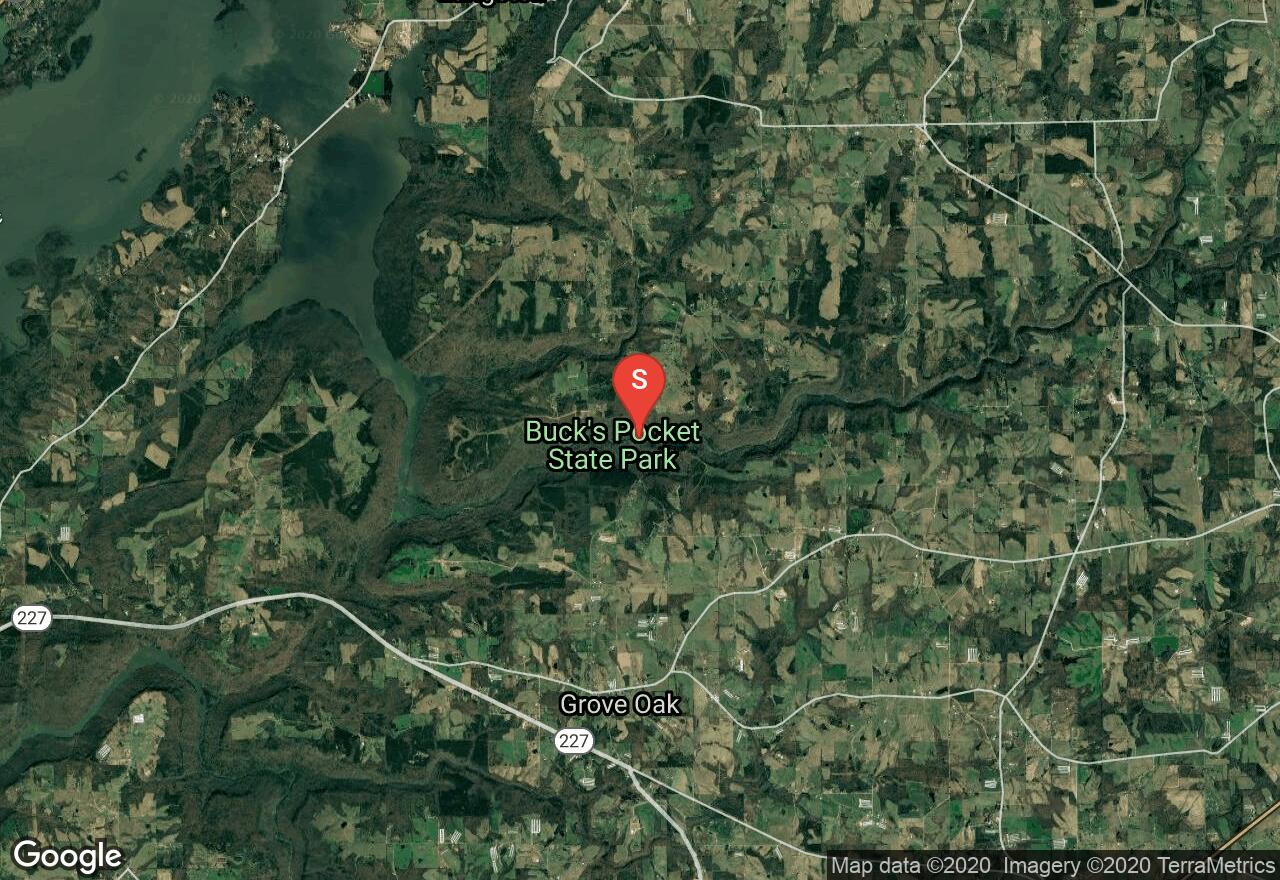
Located inside Buck's Pocket State Park, Point Rock Trail is the featured hiking trial inside the park. Leading you from the canyon floor along Sauty Creek, up a few steep switch backs, then flatens out as you approach the lookout point. Be aware that the trail crosses Sauty Creek a few times. This is a "wet weather" creek, expect water after storms. There is a fee if you plan on camping, but entrance into the park is free.
Alabama, Guntersville
01 :31 hrs
3.6 mi
74.244995 ft
Moderate
Located inside Lake Guntersville State Park, the Tom Bevill Trail takes you around the base of Ellenburg Mountain along a portion of Lake Guntersville. The trailhead is located across from the Park Office on highway 227. During Spring and Summer, enjoy mountain laurel and spiderwort among many other plant species in bloom. This is a multi-use trail.
See more adventures..
Explore complete list
Explore nearby adventures

