Best SUV in Virginia
Trying to find the best SUV in Virginia? Bivy has great hiking, biking, paddling, climbing, skiing, riding and more, with hand-curated trail maps, as well as detailed driving directions.


Virginia, Craig County
00 :22 hrs
7.4 mi
476.719 ft
Unknown
Potts Mountain Jeep Trail is one of the only public trails in all of Virginia that caters specifically for technical and challenging off-roading. The trail is rated as difficult and is not for stock four-wheel drive vehicles. There are multiple obstacles to navigate through and over including large boulders, tall ledges, tree stumps, water crossings, off-camber areas, etc. There are some bypasses along the way but many of them are not much easier. The trail travels through scenic but very remote wilderness in the Jefferson and George Washington National Forest so it is not advised to drive the trail alone.

Virginia, Dickenson County
00 :39 hrs
3.9 mi
117.37201 ft
Unknown
Haysi's Ridgeview Trail System consists of 78 miles of multi-use trails that are open for off-roading just outside of the town of Haysi. The trail system offers a variety of trail options that range in difficulty and length. Trail #30 takes off from the main trail and runs north adjacent to trail #0. The trail is rated as moderate in difficulty but connects to trails that are rated as easy. The trails are open to hikers and mountain bikers so watch out for other users of the trail. A Spearhead trail permit is required for all drivers and passengers and these can be obtained through local retailers. Please visit the Spearhead Trails website for more information.

Virginia, Dickenson County
00 :52 hrs
5.7 mi
215.44699 ft
Unknown
Haysi's Ridgeview Trail System consists of 78 miles of multi-use trails that are open for off-roading just outside of the town of Haysi. The trail system offers a variety of trail options that range in difficulty and length. Trail #15 runs from Breaks Interstate Park to the junction with the main trail. The trail is rated as moderate in difficulty. The trails are open to hikers and mountain bikers so watch out for other users of the trail. A Spearhead trail permit is required for all drivers and passengers and these can be obtained through local retailers. Please visit the Spearhead Trails website for more information.

Virginia, Harrisonburg
01 :16 hrs
8.3 mi
579.199 ft
Unknown
This scenic drive follows Skidmore Fork and Dunkle Hollow Road through beautiful mountain terrain of George Washington National Forest. The road climbs slowly up to the ridgeline just northeast of Flag Pole Knob. The trail does present some challenge in the form of creek crossings, steep grades, and rock beds. These features will be even more challenging during and after heavy rains so pay attention to the weather. There are bypasses available for the difficult sections making the route a good option for drivers of all skill levels. Stock trucks and SUVs will manage but 4WD is recommended.

Virginia, Dickenson County
02 :23 hrs
11.9 mi
- ft
Unknown
Haysi's Ridgeview Trail System consists of 78 miles of multi-use trails that are open for off-roading just outside of the town of Haysi. The trail system offers a variety of trail options that range in difficulty and length. Trail #1 is the main trail that runs from the parking area providing access to many of the other trails in the system. The trail is rated as easy and has no major obstacles or hazards. The trails are open to hikers and mountain bikers so watch out for other users of the trail. A Spearhead trail permit is required for all drivers and passengers and these can be obtained through local retailers. Please visit the Spearhead Trails website for more information.

Virginia, Nelson County
00 :20 hrs
8.3 mi
487.659 ft
Unknown
This section of trail runs between Coal Road and the Blue Ridge Parkway and offers a fun and scenic route for off-roading in the George Washington National Forest. The route features some tight turns, narrow stretches that are overgrown, off-camber sections, slick rock, and possible water crossings and puddles. The route can be run in either direction but offers steeper climbs going from north to the south. The road can be difficult with possible flash flood danger during rainy weather. High clearance 4WD vehicles are required.

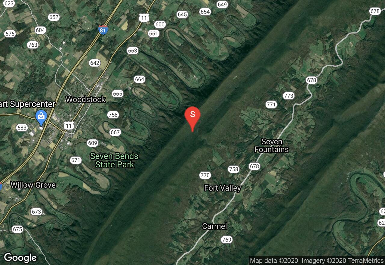
Virginia, Shenandoah County
01 :32 hrs
8.2 mi
336.52402 ft
Unknown
This ride follows Peters Mill Run on the top of Massanutten Mountain in the George Washington National Forest. The route climbs from the south the first two miles offering visitors beautiful views. The forest service road is fairly easy to follow but does feature drainage cuts that may result in ruts. The road is also used by ATVs, motorcycles, and UTVs so watch out for other users along the way.

Virginia, Craig County
00 :46 hrs
8.4 mi
99.79602 ft
Unknown
Nimrod Road is a scenic dirt road that travels through Craig County and provides visitors access to lots of great scenery and opportunities for recreation in the national forest. The 8-mile dirt road starts from Route 311 and ends at the intersection with Sweet Springs Turnpike and can be used as an alternative route to the popular Potts Mountain Jeep Trail. The road is mostly packed dirt with some small rocks and presents no real challenges or obstacles except a few spots that may be slightly washed out. The road should be passable for all stock SUVs and trucks.
Virginia, Shenandoah County
01 :25 hrs
7.6 mi
335.475 ft
Unknown
This is a fun trail for off-roading with a mix of rocks, steep hill climbs, and some deep mud holes. It can be done in a 4wd stock SUV with good ground clearance. There are places to camp along the trail as well as some creek crossings. A day pass is required and can be bought at the nearby Exon or Shell Station.

Virginia, Craig County
00 :55 hrs
8.3 mi
507.358 ft
Unknown
Sweet Springs Turnpike is a historic road that was at one point the main mountain passage over Potts Mountain. The road was used by all types of travelers including stagecoaches, horses, and travelers on foot and it featured toll booths on each end as well as structures and dwellings. Now there are just remnants of the structures that were once there but it still offers a glimpse of the past while driving through the rugged scenery of Jefferson and George Washington National Forests. The road is now used as a connector to Potts Mountain Road, Potts Mountain Jeep Trail, and Nimrod Road. The road is mostly dirt with some small rocks. It is a little steep in parts and there may be some washed out switchbacks but it presents no major challenges and is passable for most stock SUVs and trucks.
See more adventures..
Explore complete list
Explore nearby adventures

