Best Snowshoeing in West Virginia
Trying to find the best snowshoeing in West Virginia? Bivy has great hiking, biking, paddling, climbing, skiing, riding and more, with hand-curated trail maps, as well as detailed driving directions.
West Virginia, Wyoming County
00 :28 hrs
1.1 mi
47.15863 ft
Easy
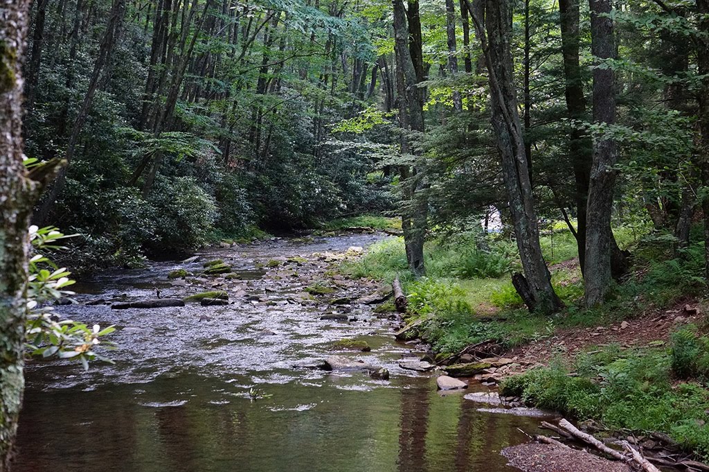
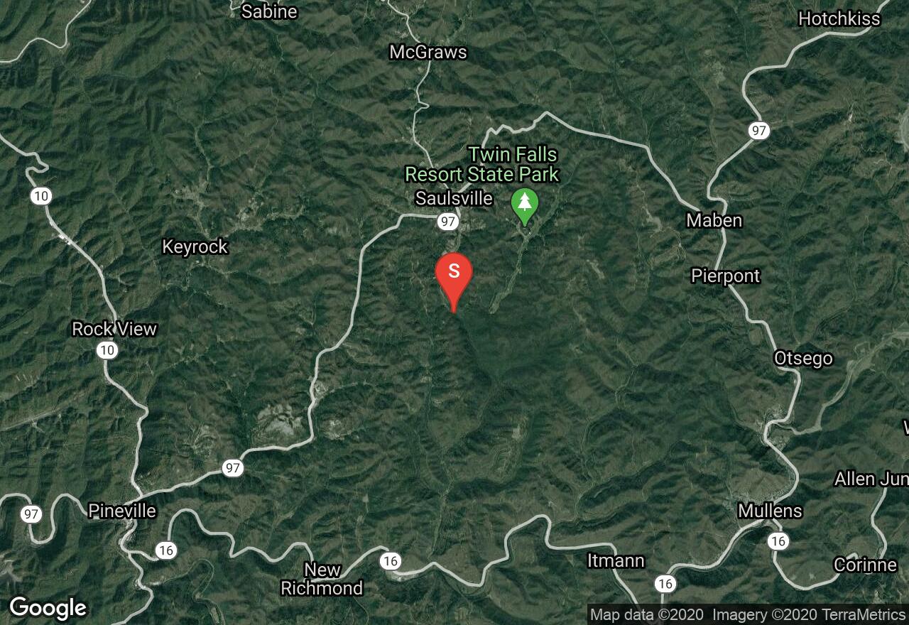
Nestled in the Allegheny Plateau, Twin Falls Resort State Park offers many hiking trails. The popular Falls Trail is surrounded by densely forested mountains, and travels to the high volume cascades of Marsh Fork Falls and Black Fork Falls. Part of the trail travels over a century old logging road, which was the old entrance into the park. There are towering maple and hemlock along the trail canopy with mountain laurels and rhododendron in the understory. The waterfalls are at their highest volume during spring.
Maryland, Garrett County
02 :47 hrs
3.3 mi
200.36536 ft
Hard
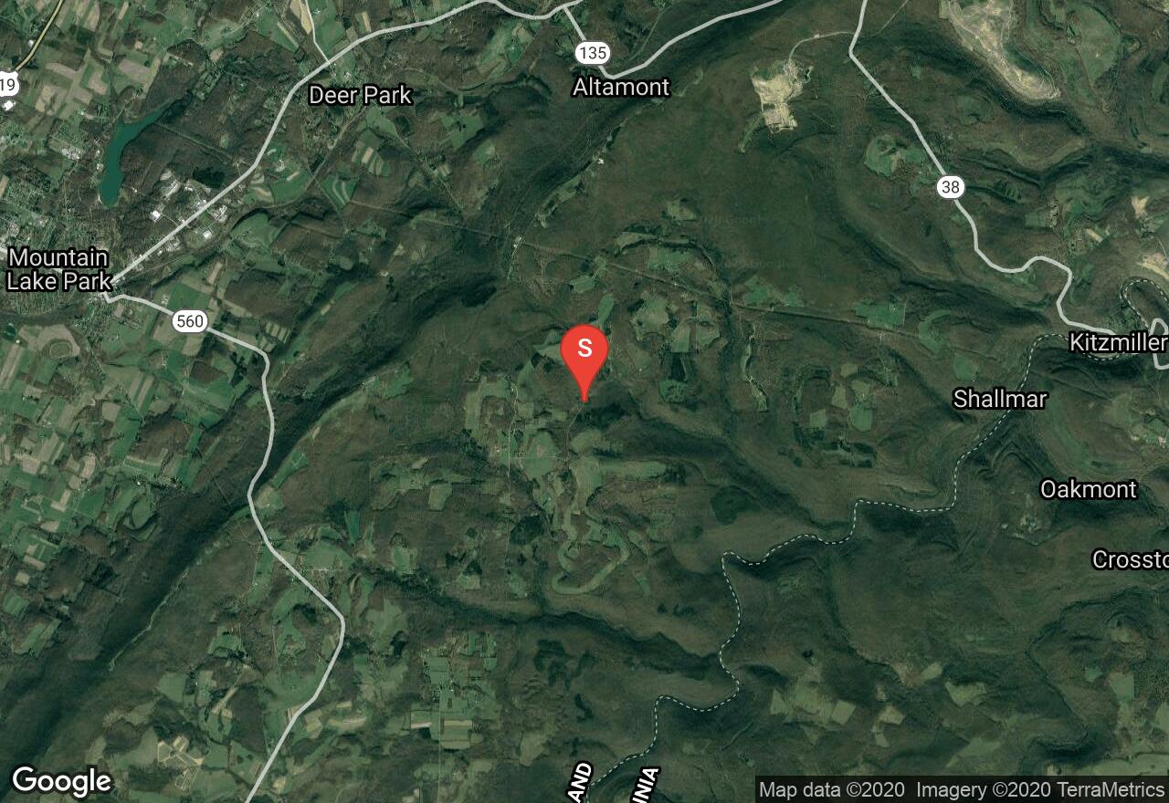
Located in the Potomac State Forest, this is a gorgeous hike through a hemlock and mountain laurel filled canyon which follows Lostland Run all the way to the Potomac River. There are several stream crossings on footbridges, a waterfall, and many opportunities to view wildlife. The first mile of the hike is over rough and rocky terrain but it becomes easier as you approach the stream.
Maryland, Garrett County
01 :51 hrs
4.7 mi
156.66699 ft
Hard
Deep Creek Lake State Park located in Garrett County and surrounds Deep Creek Lake, a reservoir that was created with the construction of a dam in 1923. There are trails for hiking and mountain biking as well as water sports on the reservoir. This trail takes a large loop around the park. It circles the base of the mountains and rises to the summit where several cell phone towers and a former fire tower are located. You will then descend the mountain and reach the site of an abandoned coal mine before returning.

West Virginia, Marion County
01 :49 hrs
2.4 mi
31.304443 ft
Hard
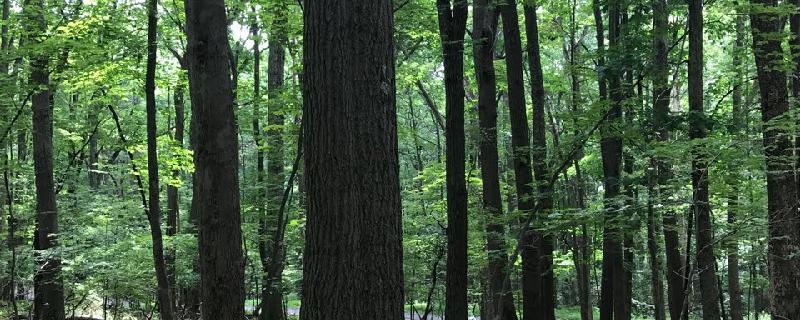
The Marion County trail also known as the MCTrail, runs along Pricketts Creek through rural Marion County. The trail surface is paved making it wheelchair accessible and recommended for all ages. The main highlight on this trail is a 1,200 foot lighted Meredith Tunnel. There are many wildlife along the trail including squirrels, beavers and deer. The trail also has some bird houses making it a great place to go bird watching. The majority of the trail is within a wooded area, with signs that name some of the trees along the path. Both sections of the trail have parking and can be traveled in either direction.
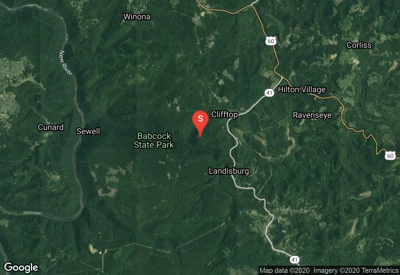
West Virginia, Fayette County
01 :28 hrs
1.5 mi
76.838684 ft
Moderate
The Skyline Trail begins at Manns Creek Picnic Area, located in Babcock State Park. The trail slowly gains elevation as is passes Boley Lake. There are large sandstone boulders that lead to one of the lookouts of the Glade Creek Valley. This trail travels through thick oak forest with mountain laurels and rhododendrons. During early summer Catawba and Rosebay rhododendron in bloom. Although the park facilities are closed during winter, most park roads are graded to facilitate cross-country skiing.

West Virginia, Ritchie County
03 :41 hrs
7.1 mi
63.06935 ft
Moderate
The 72 mile North Bend Rail Trail offers numerous spectacular bridges and thirteen old railroad tunnels made of brick and sandstone. This section of the trail travels along an easy flat crushed limestone path through heavy wooded forest, offering stunning natural scenery. This trail offers many wildlife encounters, especially birds and deer. The North Bend Rail Trail can be traveled any length and section by using a shuttle plan.
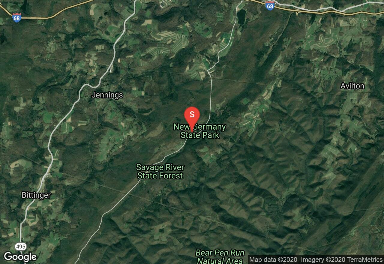
Maryland, Garrett County
03 :37 hrs
7.2 mi
108.46985 ft
Hard
This trail through Savage River State Forest follows the meadow Mountain Off-Road Vehicle Trail. This trail follows the ridge of the mountain through beautiful mature hemlock and hardwood forest, interspersed with views of Big Savage Mountain, the surrounding valleys, and small farms. There is little to no technical skill required since most of the trail is along a well-maintained woods road. There are climbs, bogs, and rough sections that give the ride some challenge and keep it interesting. The forest is filled with wildlife of many different species.
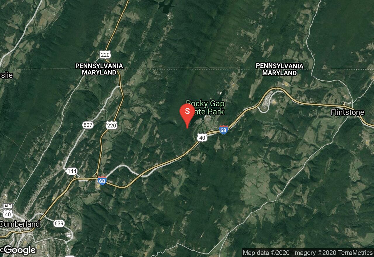
Maryland, Allegany County
01 :41 hrs
3 mi
338.35587 ft
Moderate
This is a challenging walk through the dark and lush Rocky Gap Canyon followed by an ascent over an old woods road to Evitts Mountain Summit where there expansive and beautiful views. Along the way, visit the historic homestead of the first white settler in the rugged Allegheny Mountains. The section of the hike through the canyon is rocky and steep at times but the scenery is gorgeous as it is filled with hemlocks, azalea, and rhododendron and has a very dense canopy. The ascent is also steep but it pauses enough to catch your breath.
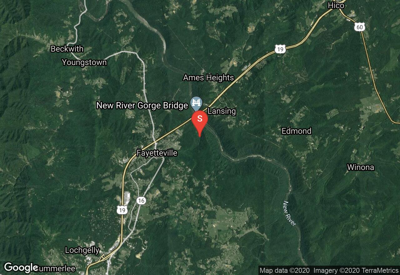
West Virginia, Fayette County
03 :53 hrs
3.8 mi
240.56433 ft
Hard
The Fayetteville Trail is one of many trails located in Fayetteville. This trail travels along the southern wall of the New River Gorge, ascending and descending through the ravines of streams and crossing ridges. The trail travels through thick forests of maple, sycamore, and chestnut oak trees. there are amazing views of the New River Gorge Bridge as the trail travels over ridge lines. There is the opportunity for a shuttle plan, the trail has two access points one of Fayette station road and the other on Kaymoor road.
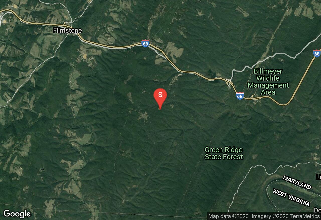
Maryland, Allegany County
03 :03 hrs
11.9 mi
278.48074 ft
Hard
Green Ridge State Forest stretches across the mountains of western Maryland with over 100 miles of dirt roads and trails and is especially suitable for mountain bikers. The park has hosted the Maryland Mountain Bike State Championships and has built this permanent 12-mile loop. There is an extensive trail system and many crisscrossing dirt roads which make it easy to explore the forest and take a shorter or longer route. This route has many challenges, stream crossings, technical climbs and descents, beautiful views from both mountain peaks and ridges, and stunning scenery is the valleys. The trails are rocky and there are numerous elevation changes.
See more adventures..
Explore complete list
Explore nearby adventures

