Best ATV in Sedona
Trying to find the best ATV in Sedona ? Bivy has great hiking, biking, paddling, climbing, skiing, riding and more, with hand-curated trail maps, as well as detailed driving directions.
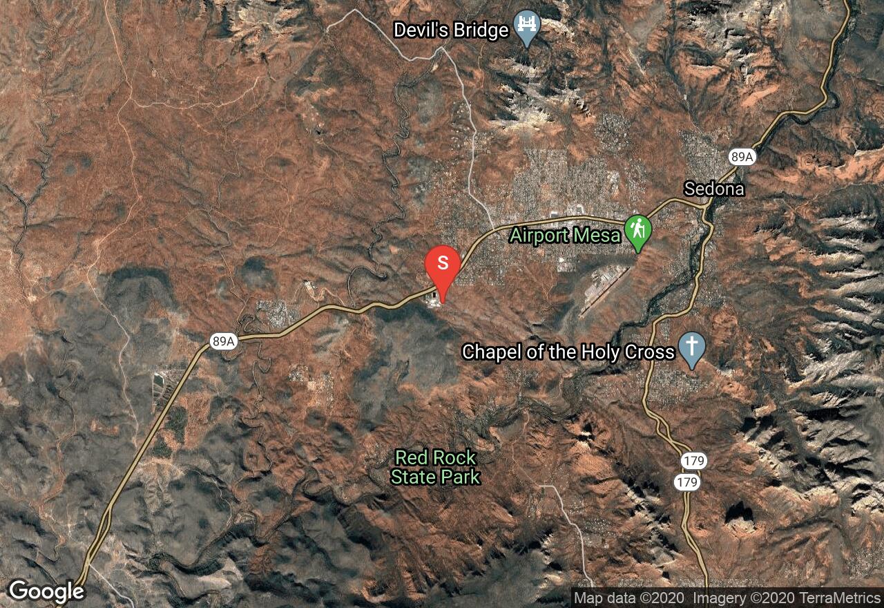
Arizona, Yavapai County
01 :19 hrs
3.3 mi
88.2832 ft
Moderate
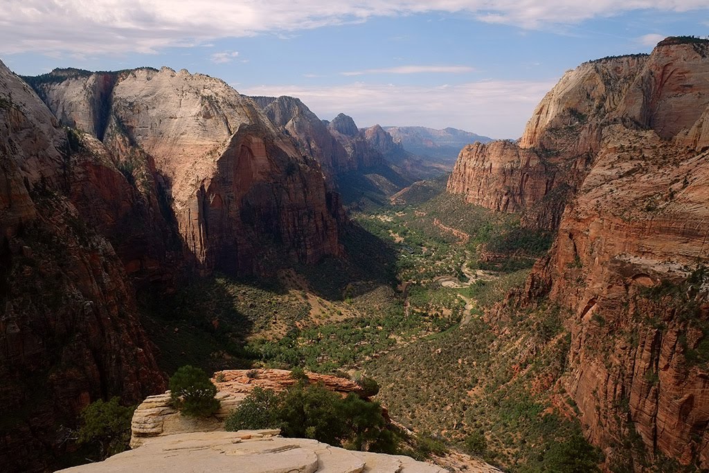
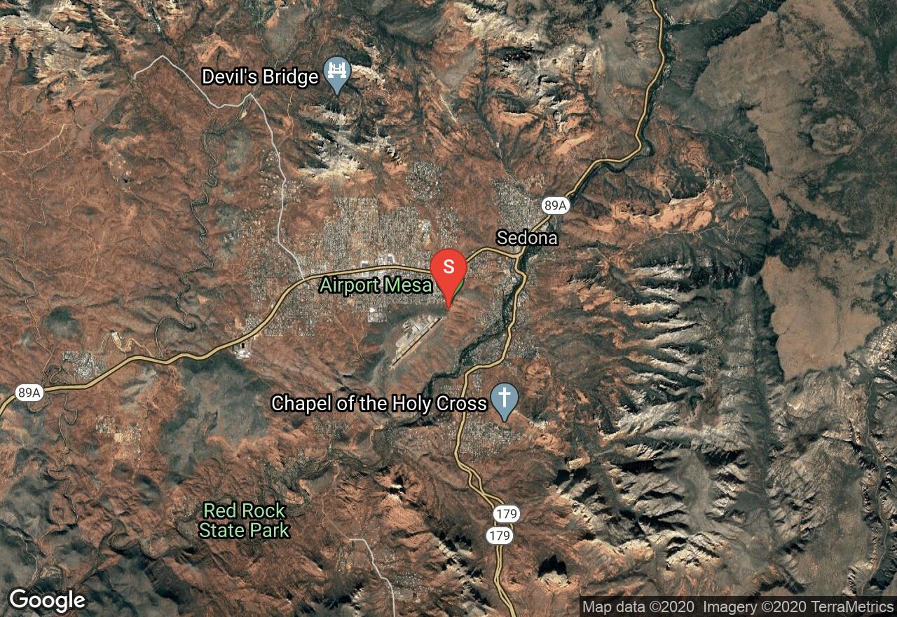
This loop trail circles around the Sedona Airport and offers great panoramic views of the Sedona area. The hike has views of Twin Buttes, Cathedral Rock, and many other well-known red rock landmarks. There are sections of the hike where the trail is very rocky and narrow with steep cliffs so paying attention and wearing appropriate shoes is important. Hiking the trail at sunset and sunrise is popular due to the amazing colors that appear during those times. The trail is very hot during the summer and also very slippery when wet so plan accordingly.
Arizona, Yavapai County
00 :34 hrs
0.5 mi
166.10461 ft
Unknown
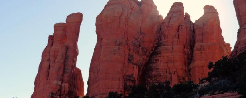
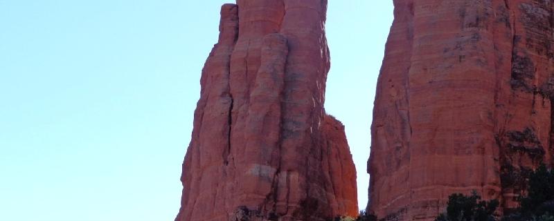
The Cathedral Rocks area is situated off of Back and Beyond Road, and it features an awe-inspiring group of mesas and spires. Middle Mesa is situated between The Mace and the larger North Mesa. Expect a long two pitch chimney route with a hand crack. You will need a Red Rock Pass in order to park here. It can be purchased at the Red Rock Ranger District in Sedona, or at a major trail-head.
Arizona, Yavapai County
00 :11 hrs
0.5 mi
5.673218 ft
Easy
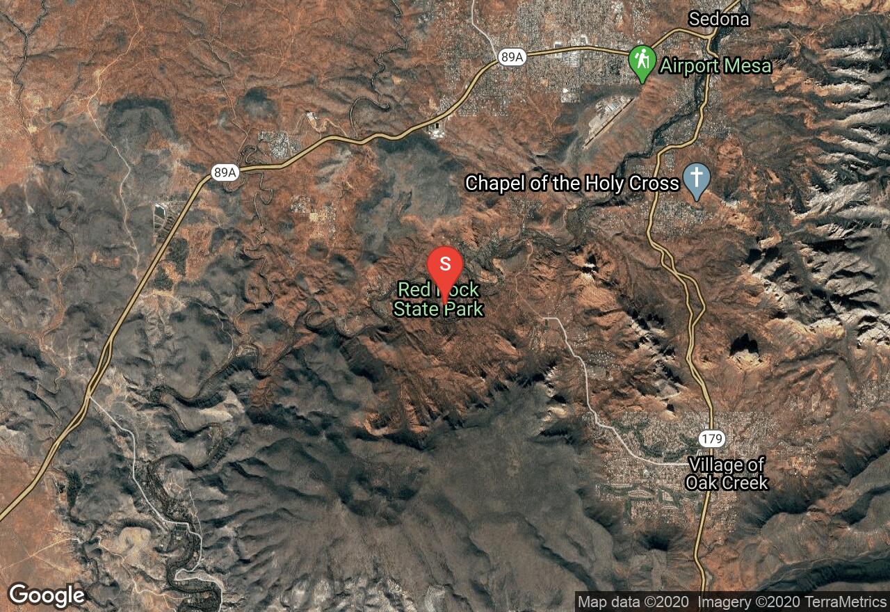
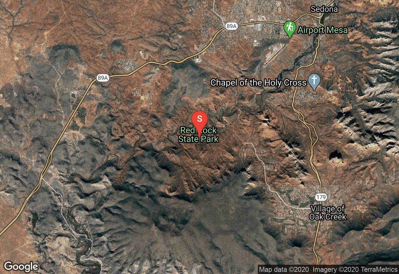
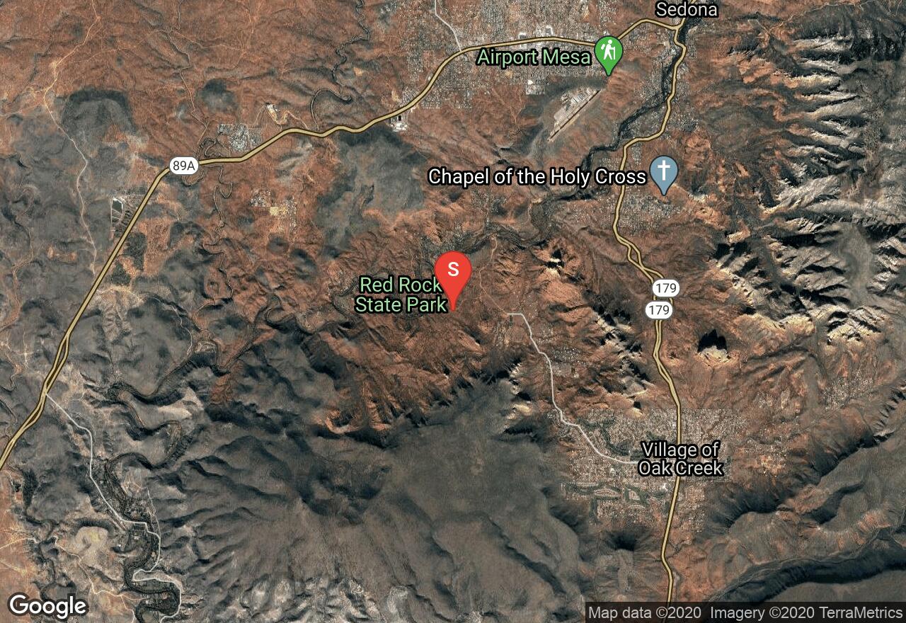
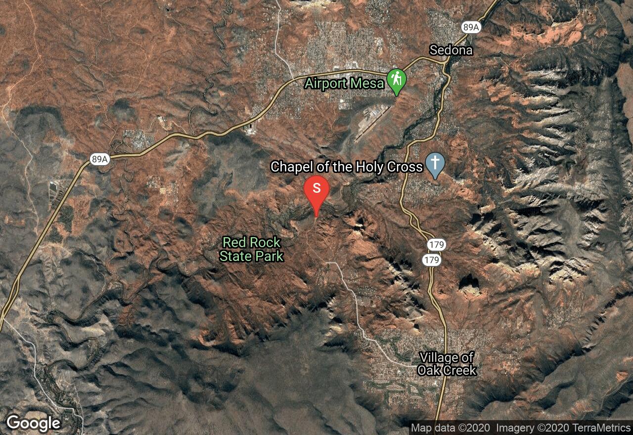
The Bunkhouse Trail is a short but scenic hike located in Red Rock State Park. The trail is barrier-free making it fully accessible to all. The trail starts from the visitor center and makes a small loop that showcases good views of the red rock area and takes visitors up close to the lush riparian area of Oak Creek. The trail connects to many other trails in the park giving hikers the option of adding mileage and exploring more of the park.

Arizona, Yavapai County
00 :16 hrs
0.7 mi
7.833374 ft
Easy
This scenic hike located in Red Rock State Park follows a short interpretive trail that is good for kids and hikers of all skill levels. The trail leads through the park north from the visitor center and provides hikers with excellent views of the surrounding red rock desert as well as the opportunity for viewing diverse and abundant wildlife that inhabit the area.
Arizona, Yavapai County
00 :51 hrs
2.1 mi
73.765625 ft
Easy
Located in Red Rock State Park, this is the longest of the trails within the park and also one of the most scenic as it travels to a high ridge above Oak Creek that provides excellent views of the red rock country of Sedona. The trail passes through lush riparian areas near the creek before leading up to the ridge. The Eagle's nest trail is reached by first hiking along some of the other connecting trails in the state park. The elevation change is very mild and the trail is well-defined making the hike a good choice for hikers of all levels.

Arizona, Yavapai County
01 :03 hrs
0.6 mi
172.43079 ft
Moderate
The trail up to the saddle of Cathedral rock is a short but tough climb with rewarding views from the top. The hike is very exposed with steep cliffs so wearing good hiking shoes is recommended. There are lots of other side trails in the area but the trail is marked with cairns to help show hikers the right path. There are also lots of trails around the base of cathedral rock that also offer good views without hiking up to the saddle. Avoid hiking the trail in wet or rainy conditions as it can be very slippery.
Arizona, Yavapai County
03 :10 hrs
3.2 mi
238.23853 ft
Hard
The remote trek up the Turkey Creek trail provides hikers with panoramic vistas of nearby rock formations as it reaches the summit of House Mountain. The hike starts with some mild up and down sections and then turns into a steep climb up switchbacks to reach the summit. The hike is not very shaded and can be very hot in the summer. The road to the trailhead is a little rough but accessible for most vehicles.
Arizona, Yavapai County
00 :52 hrs
2.2 mi
53.968872 ft
Moderate
Located on the southwest side of Cathedral Rock, the Baldwin trail is a great easy hike that provides hikers excellent panoramic views. The north end of the trail also connects to the Templeton Trail which leads down to Oak Creek where visitors will see man-made stacked rock structures all around. The hike is fairly easy and is a good option for families with kids.
Arizona, Yavapai County
00 :32 hrs
0.5 mi
155.40588 ft
Various
The Cathedral Rocks area is situated off of Back and Beyond Road, and it features an awe-inspiring group of mesas and spires. The Mace is an old and famous rock formation that offers classic routes you can't afford to miss. Expect some multi-pitch climbs with crack systems, chimneys and limestone rock layers. You will need a Red Rock Pass in order to park here. It can be purchased at the Red Rock Ranger District in Sedona, or at a major trail-head.
Arizona, Yavapai County
00 :33 hrs
3 mi
162.88635 ft
Easy
This short out-and-back ride follows Upper Red Rock Loop Road in Sedona, passing some of the most well-known and scenic red rock formations in the area. The ride also passes the road that leads to Crescent Moon Picnic Area which is a great resting spot for taking pictures and viewing Cathedral Rock. The ride follows a gradual downhill grade along a two-lane highway with a narrow shoulder so pay close attention to traffic along the way. The road does continue on after the pavement ends completing a loop back up to Highway 89A but this requires riding a short section of unpaved roadway.
See more adventures..
Explore complete list
Explore nearby adventures

