Best Trail Running in Sedona
Trying to find the best trail running in Sedona ? Bivy has great hiking, biking, paddling, climbing, skiing, riding and more, with hand-curated trail maps, as well as detailed driving directions.
Arizona, Flagstaff
02 :58 hrs
3.3 mi
79.47644 ft
Moderate
The trail up the west fork of Oak Creek is a beautiful scenic hike that offers some of the best scenery in Sedona. The hike has very little elevation change as it follows the creek through the canyon making it a good choice for hikers of all levels. There are lots of creek crossings along the way so be sure to wear appropriate shoes. The trail ends where you can no longer hike further without walking up the creek in water. The hike is especially popular during the spring when flowers are in bloom and in the fall when the leaves are changing color. The hike is very popular and parking can fill up fast, especially on weekends. There is a fee to park and access the trail.
Arizona, Flagstaff
01 :31 hrs
1.6 mi
109.16516 ft
Moderate
This popular hike leads over varied terrain through scenic red rock country to the well-known spot of Chicken Point. The trail also leads past a sinkhole named Devil's Dining Room and has a connecting trail to Submarine Rock. The trail is mostly exposed but has very mild elevation change making it a good option for hikers of all skill levels. The trailhead is easily accessible and only requires driving on a dirt road for a very short distance.

Arizona, Coconino County
01 :23 hrs
3.6 mi
69.49072 ft
Moderate
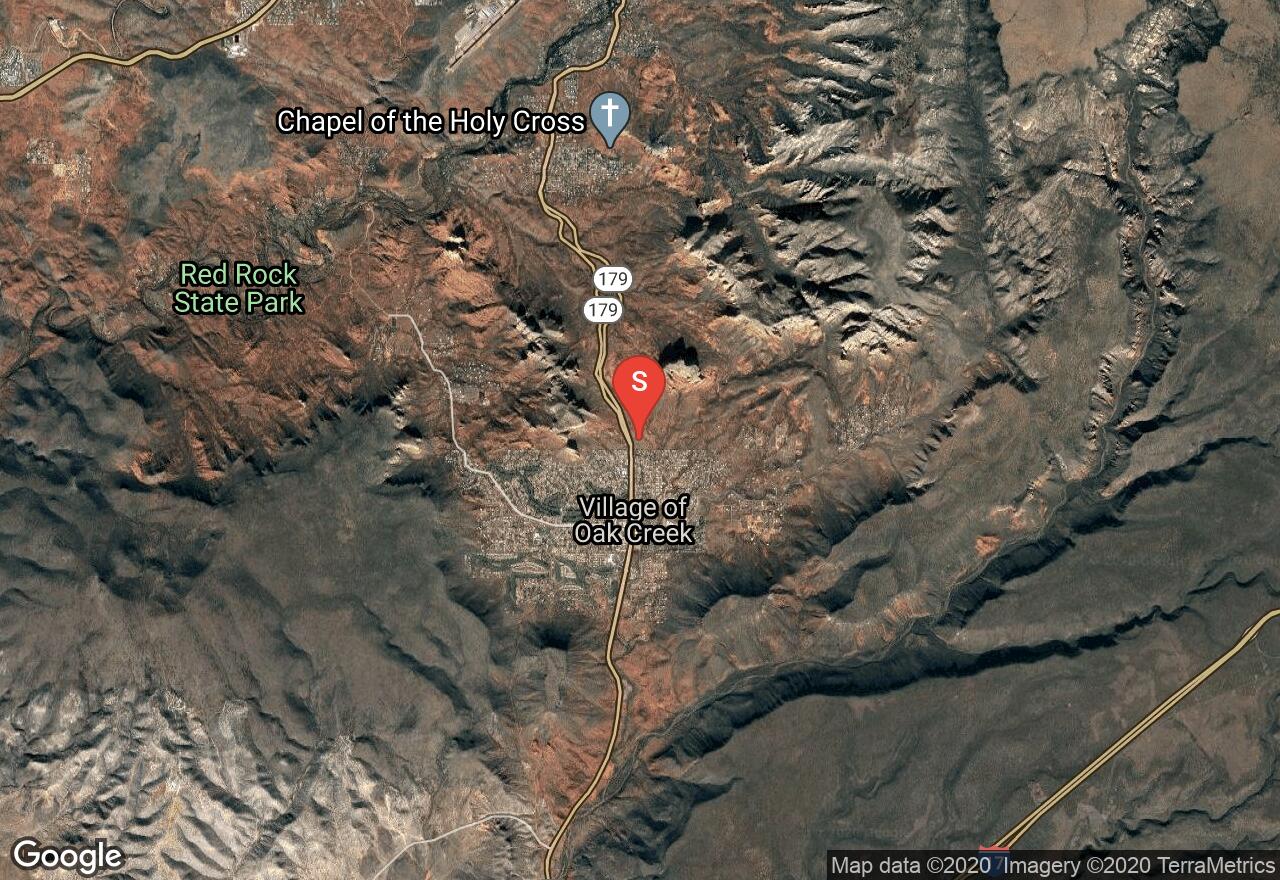
The loop trail around Courthouse Butte and Bell Rock is considered one of the most scenic red rock settings in all of Sedona. The trail is quite flat and easy making it a great choice for hikers of all levels. There are two trailhead/parking areas that can be used to access the trail, both located just off of SR 179. There are other popular trails that branch off the main loop trail including the Llama Trail and Big Park Loop. Mountain biking is allowed on certain sections of the trail as well as some of the connecting trails so watch for others when on the trail.

Arizona, Flagstaff
01 :15 hrs
3.1 mi
60.018677 ft
Moderate
The trail to Submarine follows the Broken Arrow Trail for one mile before branching off to the left. The trail then continues to Submarine Rock where hikers can explore the many trails that travel around the base of the rock formation as well as trails that lead to the top where excellent views of the surrounding area are available. After spending time at Submarine Rock you can return the way you came or continue on Broken Arrow Trail and even further on Little Horse Trail.

Arizona, Flagstaff
01 :41 hrs
6.4 mi
131.02356 ft
Expert
This loop ride combines multiple trails in the Sedona area for a scenic and very challenging trip that offers a wide variety of technical elements for experienced riders. Along the route riders will encounter lots of slickrock, some steep drops, narrow singletrack, stairs, and more. There are a few short sections that follow jeep roads and paved roads to complete the loop. Many of the trails in the loop are also popular with hikers so be careful and watch out for others.

Arizona, Yavapai County
01 :12 hrs
1.3 mi
93.2218 ft
Moderate
Hiking Fay Canyon is an easy shady walk through a scenic canyon of red rock cliffs. This is a great hike for families with kids or those looking for a relaxing hike. There is a natural stone arch a half mile up the canyon that can be viewed by taking a short but more technical side trail. The canyon is also home to a diverse variety of vegetation with an amazing show of wildflowers in the spring.

Arizona, Yavapai County
00 :48 hrs
0.7 mi
82.53052 ft
Moderate
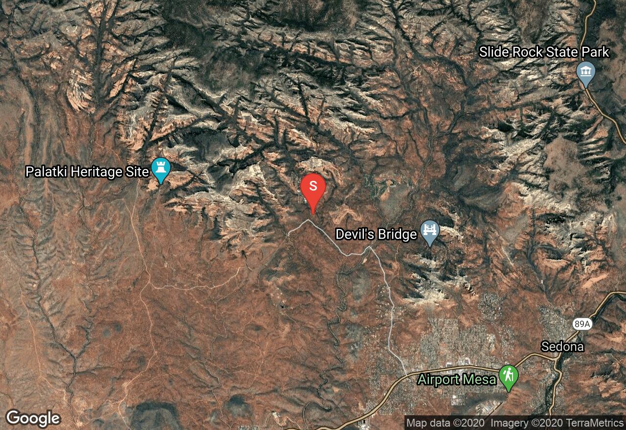
The trail to Devils Bridge is short but steep hike in the Sedona Backcountry to a beautiful natural stone arch. Just over half a mile into the hike there is a short trail that breaks off to an overlook. The main trail towards the end splits into two different trails for hikers to choose from. One trail leads hikers right under the arch and the other one goes over the top of the arch. The road to the trailhead is a little rough and may require high-clearance vehicle.
Arizona, Yavapai County
02 :59 hrs
3.1 mi
216.88806 ft
Hard
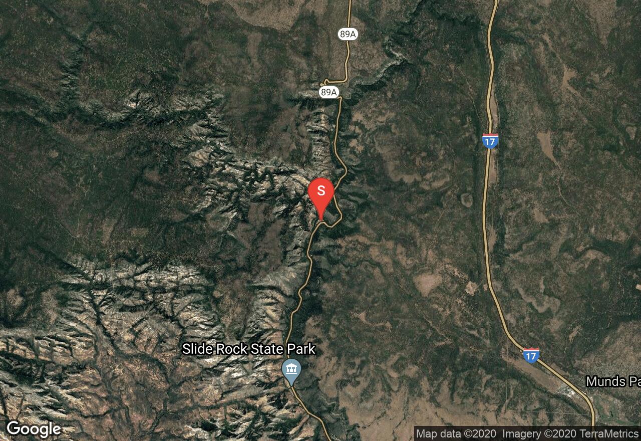
This canyon trail is popular due to its beautiful scenery of both forest and red rock and also its easy access from a paved road. The trail provides lots of shade as it travels through the canyon where it ends at the base of Secret Mountain. There is a side trail a quarter of mile from the trailhead that leads up to a couple of Sedona energy vortex points for hikers who want to make the extra trip. The hike is especially scenic during October due to the beautiful fall colors.
Arizona, Coconino County
03 :02 hrs
11.4 mi
126.204346 ft
Moderate
Sedona offers miles and miles of excellent biking trails and the Cathedral Rock Loop is just one option that showcases some of the most well-known red rock formations of the area. The loop is completed by following multiple singletrack and doubletrack trails and connecting paved roads that travel past Bell Rock, Courthouse Butte, and Cathedral Rock. The loop trail has mild ups and downs and a few sections of slickrock that add a little challenge to the ride. There are many other connecting trails in the area that can be used to customize the trip and explore more of the area.
Arizona, Yavapai County
01 :19 hrs
3.3 mi
88.2832 ft
Moderate
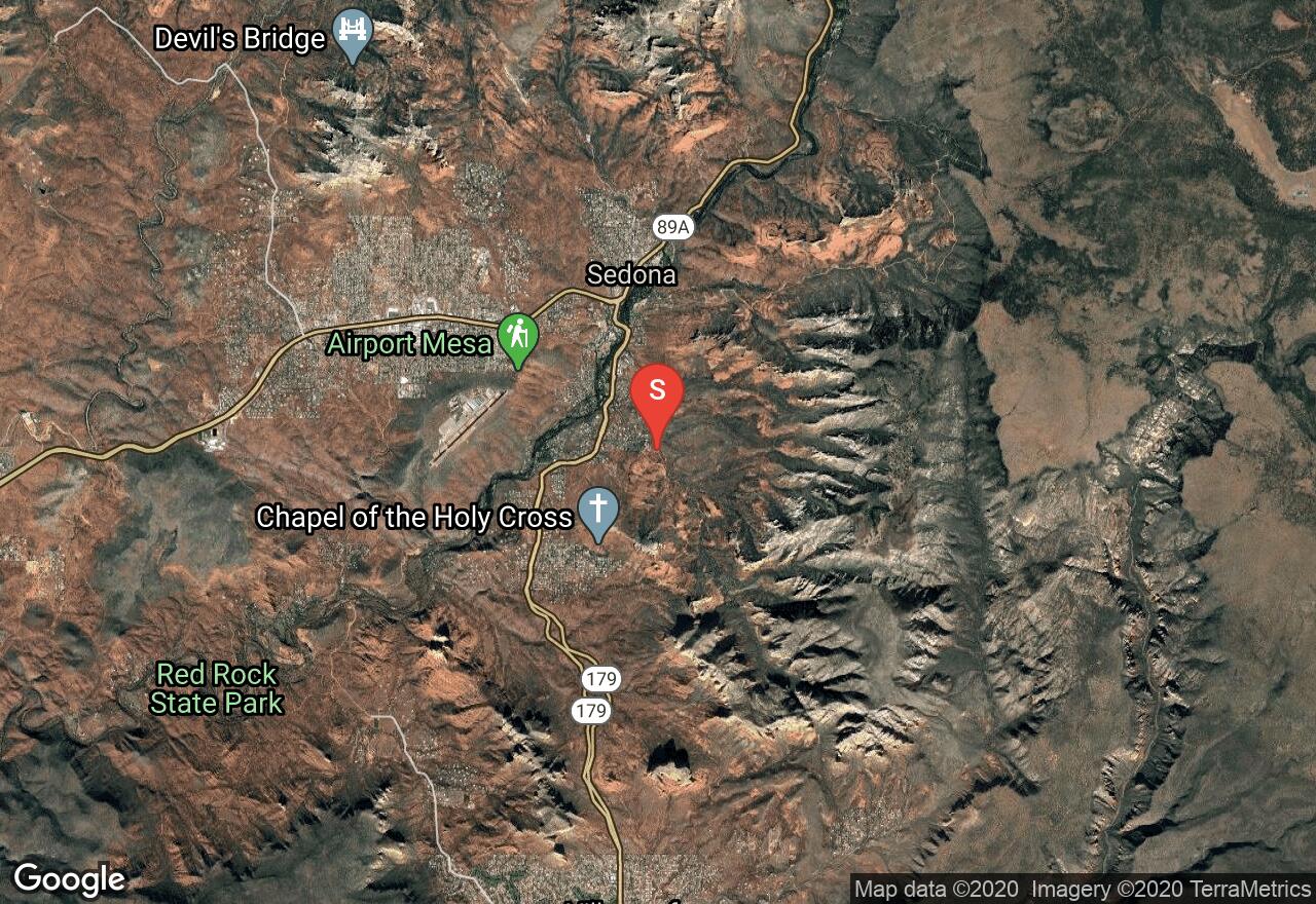
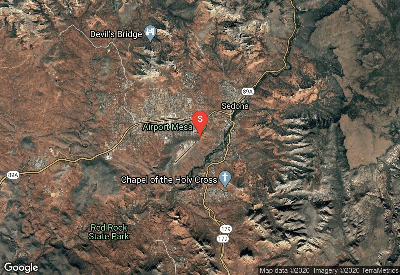
This loop trail circles around the Sedona Airport and offers great panoramic views of the Sedona area. The hike has views of Twin Buttes, Cathedral Rock, and many other well-known red rock landmarks. There are sections of the hike where the trail is very rocky and narrow with steep cliffs so paying attention and wearing appropriate shoes is important. Hiking the trail at sunset and sunrise is popular due to the amazing colors that appear during those times. The trail is very hot during the summer and also very slippery when wet so plan accordingly.
See more adventures..
Explore complete list
Explore nearby adventures

