Best Trail Running in New Orleans
Trying to find the best trail running in New Orleans ? Bivy has great hiking, biking, paddling, climbing, skiing, riding and more, with hand-curated trail maps, as well as detailed driving directions.
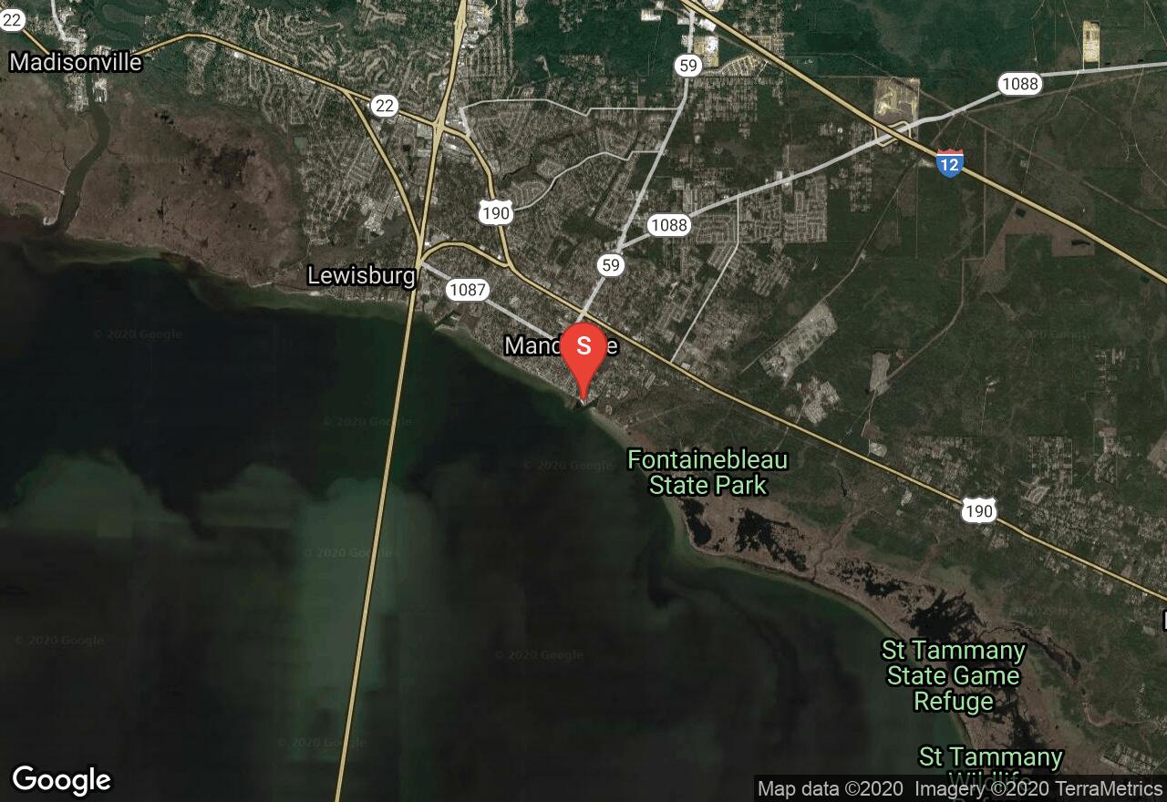
Louisiana, St. Tammany County
00 :49 hrs
1.4 mi
0.54567516 ft
Easy
This paved pathway follows the Pontchartrain Lakefront in Mandeville and is a popular jogging/walking trail. The paved trail offers excellent views of the water as well as quaint residential development along the way. The paved pathway is wide and flat, and has lots of good access areas and resting spots.
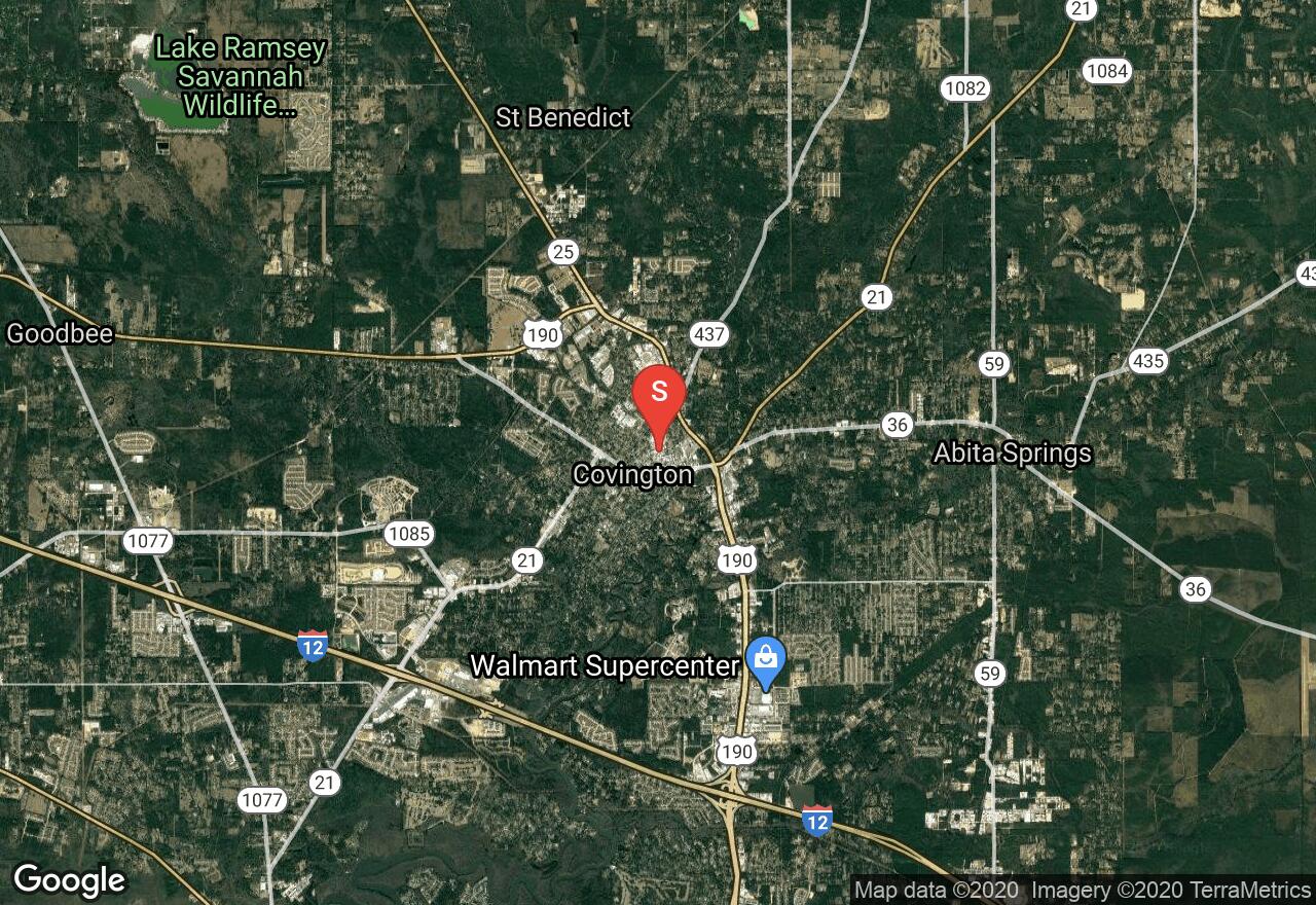
Louisiana, Covington
05 :29 hrs
27.5 mi
7.1697607 ft
Expert
This scenic recreational pathway is the first in Louisiana to be part of the National Rail-Trail Network and is a popular destination for bikers looking for high mileage and good scenery. The paved corridor passes through lots of undeveloped forested terrain and green space as well as multiple historic communities. The trail has lots of convenient access spots and parking areas giving visitors the option of customizing trips of varying distances. The trail is very flat and very well-maintained so riders of all skill levels will enjoy visiting the trail.
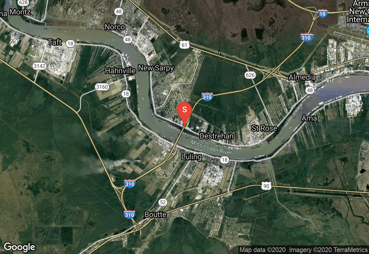
Louisiana, St. Charles County
04 :01 hrs
20.1 mi
2.9573374 ft
Hard
This section of the Mississippi River Trail is one of the most popular areas for riding due to its close proximity to the city of New Orleans. The trail follows the banks of the Mississippi River atop a levee providing good views of the massive river just below. The multi-use trail is used by both bicycles and walkers/joggers and can be busy so be aware of others on the trail. The pathway is all paved and very flat but there is limited shade when riding in warm weather.
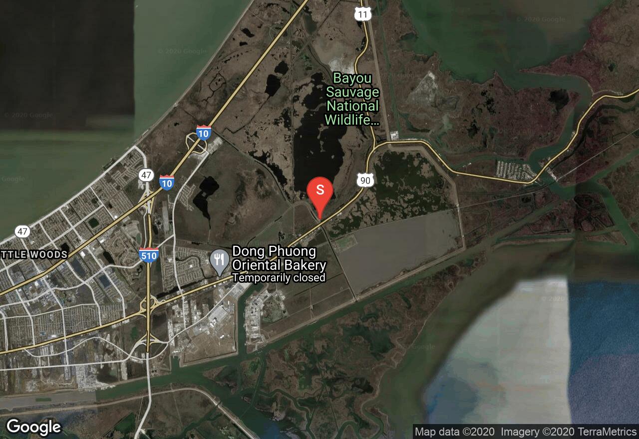
Louisiana, New Orleans
02 :29 hrs
3.8 mi
0.9996239 ft
Hard
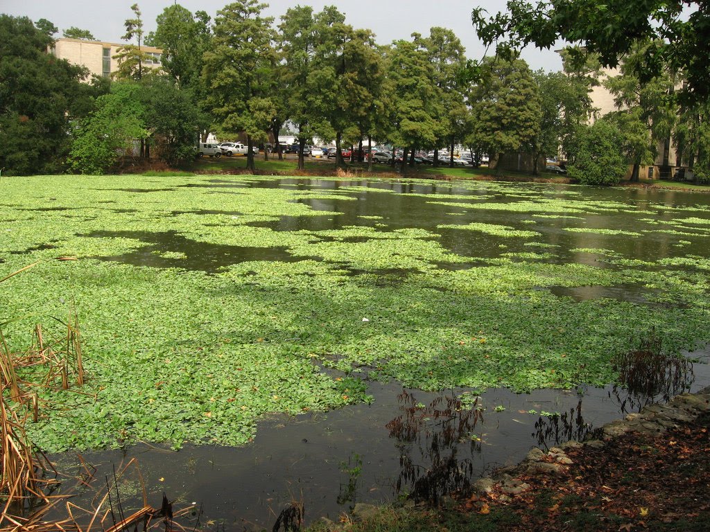
This wildlife refuge located within the city limits of the busy metropolis of New Orleans is the largest urban wildlife refuge in the United States and is a great spot for birdwatching. The trail explores the area of coastal forests and fresh and brackish marshes that are home to lots of diverse plantlife and wildlife including lots of waterfowl and alligators. This hike combines a short boardwalk trail located right off the trailhead with a longer out-and-back dirt pathway that follows a levee.
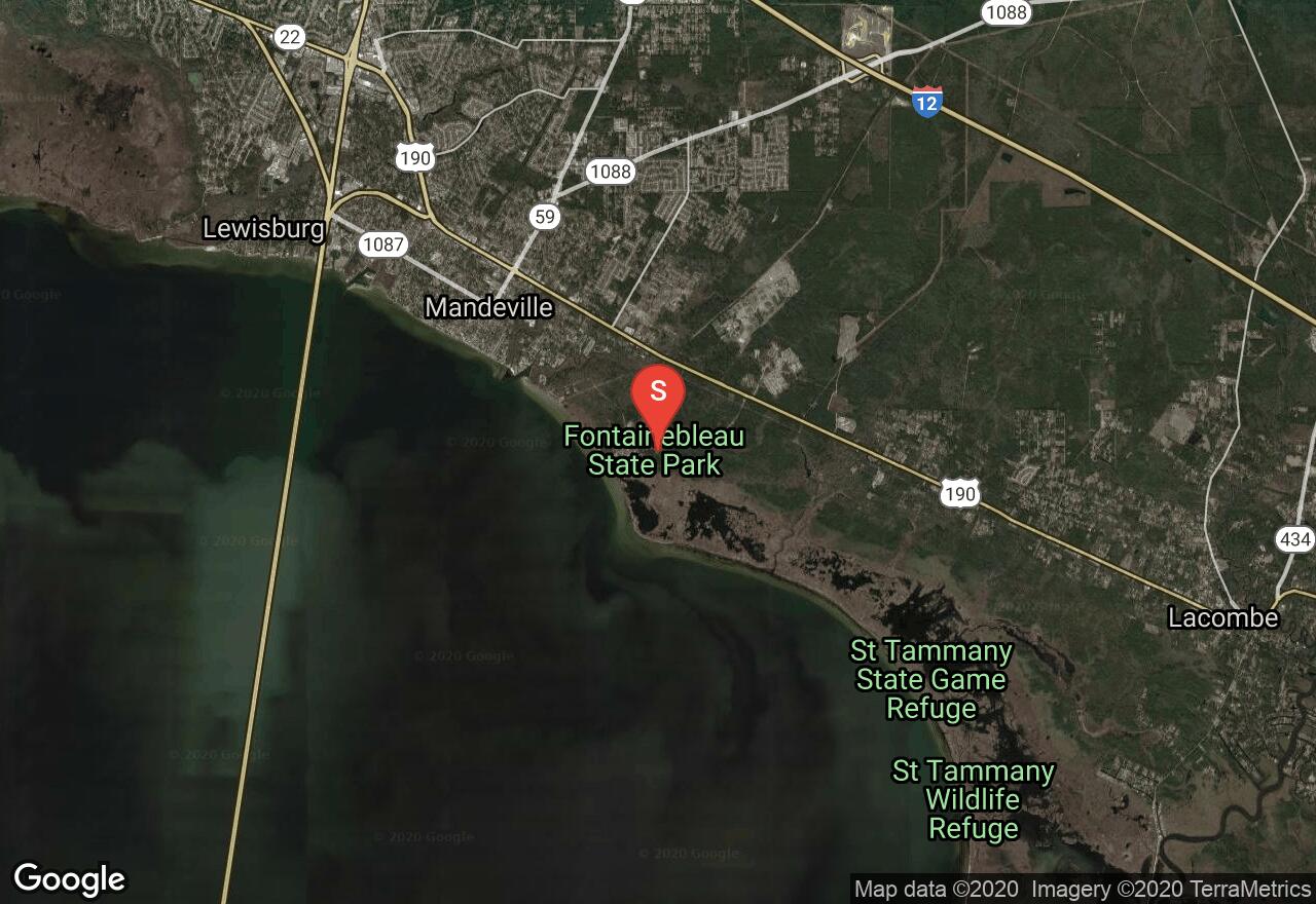
Louisiana, St. Tammany Parish County
01 :29 hrs
4.4 mi
3.5520535 ft
Moderate
This scenic hiking trail located in Fontainebleau State Park is a great option for hikers and visitors to the area who want to really get out and explore the area of forest and marsh terrain. The dirt trail leads through the diverse terrain that is home to lots of plantlife and wildlife. The hike is very flat and easy to follow and can easily be shortened by hiking just part of the trail or lengthened by adding the connecting interpretive nature trail. The state park also offers picnic areas, camping, and access to Lake Pontchartrain.
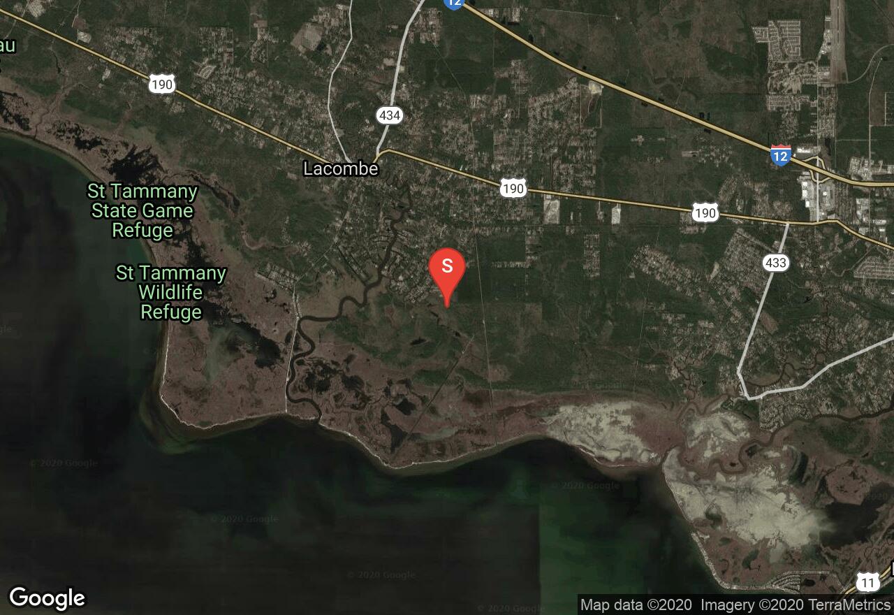
Louisiana, Lacombe
01 :41 hrs
2.5 mi
1.4901444 ft
Moderate
Located on the north shore of Lake Pontchartrain, this large wildlife refuge offers an array of natural habitats that provide great birdwatching and wildlife viewing opportunity. The hike follows both boardwalk trail and a dirt road that travels through the area of marshes, hardwood and pine forests, and sandy beaches. The out-and-back hike is just over 5 miles total but hikers looking for a short trip through the area can just hike the short boardwalk nature trail located near the trailhead.
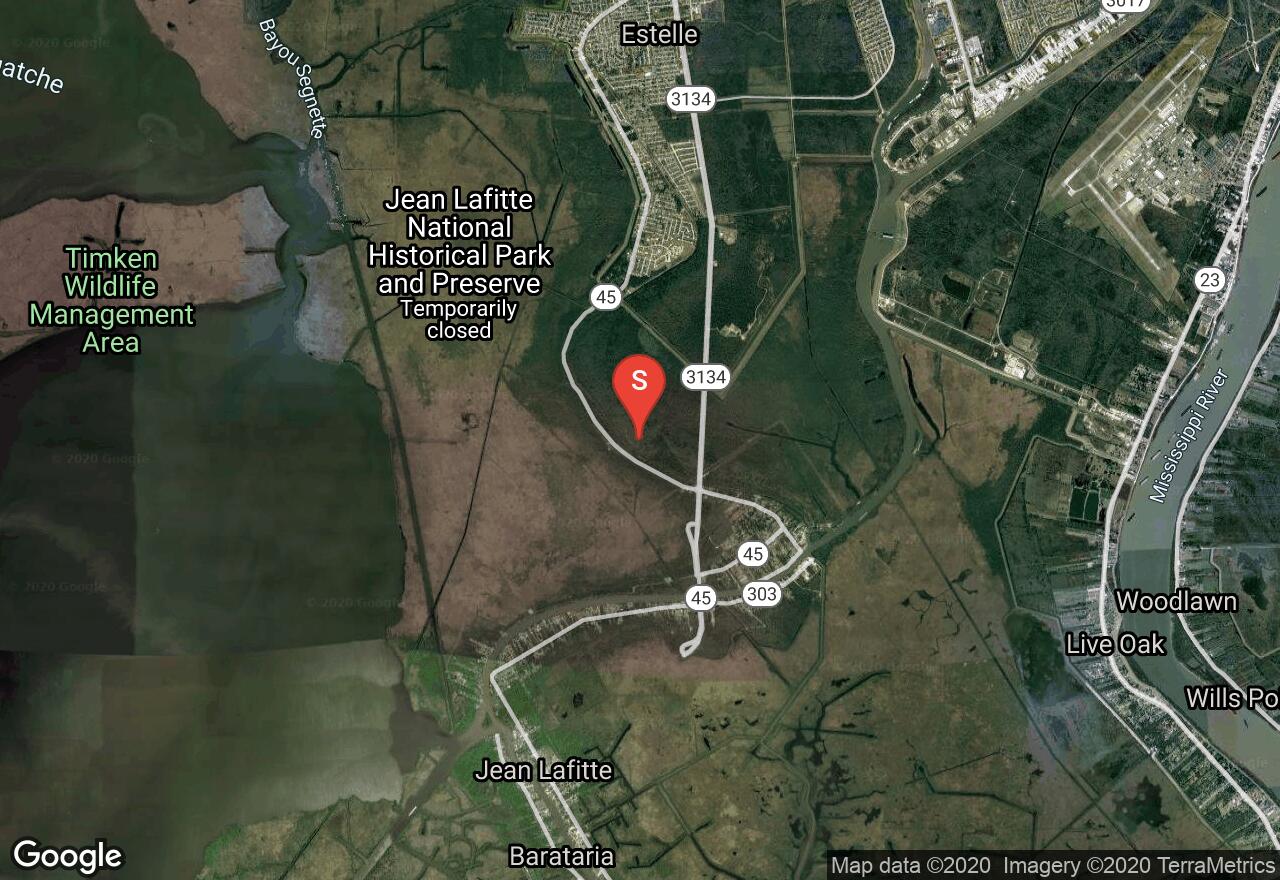
Louisiana, Jefferson Parish County
00 :60 hrs
3 mi
1.2843268 ft
Moderate
Barataria Preserve is a scenic and historic destination that offers a network of trails that explore the area of rugged wetland and marshland terrain that is home to a wide variety of wildlife. The Plantation Loop trails follow multiple old plantation roads that lead through the area of quiet and peaceful bottomland and levee ridge forest where lots of vegetation and wildlife can be seen. Hikers looking for a shorter trip can just hike loop A.
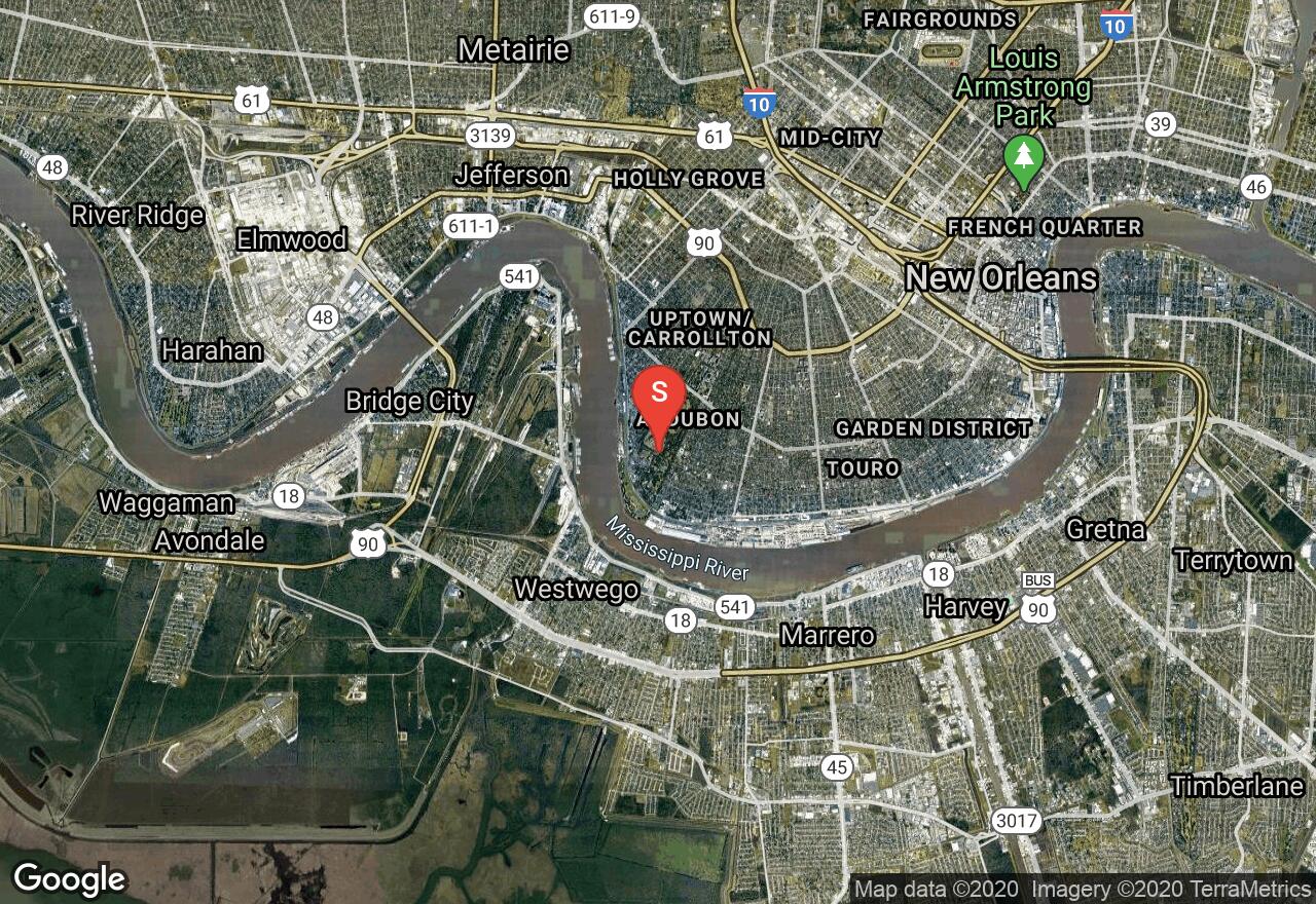
Louisiana, New Orleans
00 :11 hrs
1.8 mi
1.1318666 ft
Easy
This large park is located just off the Mississippi in southwest New Orleans and offers visitors lots of nice open green space and natural scenery in the busy urban area. This paved loop trail circles around the large park and golf course and offers visitors a scenic, natural place in the city. Scenery along the path includes residential development, the golf course, ponds and lagoons, and lots of green space. The trail can be used for a short leisurely ride in the area or can be added to other trails and roadways in the city as part of a longer ride.
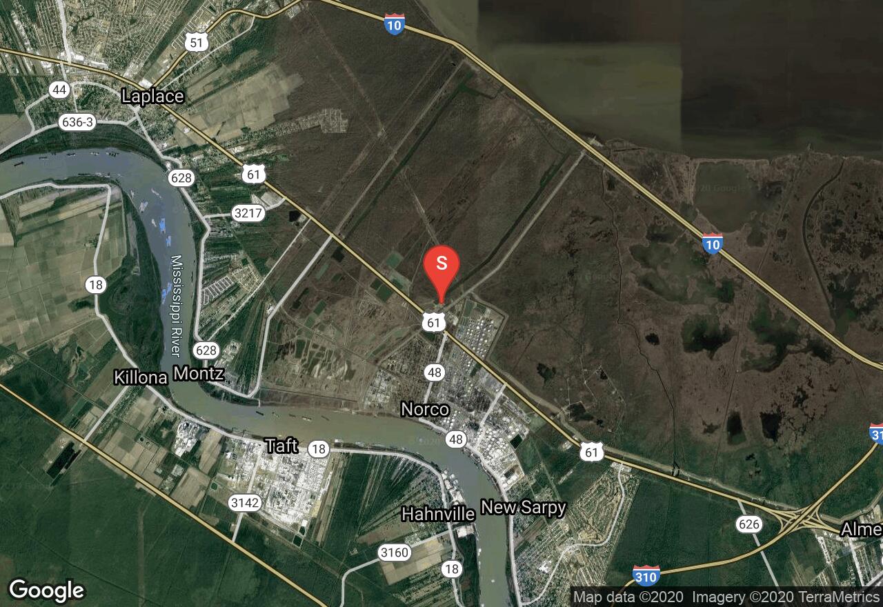
Louisiana, St. Charles County
01 :41 hrs
5 mi
3.4772196 ft
Hard
The Bonnet Carre Spillway Recreation Area is located just south of Lake Pontchartrain and provides hikers and bikers miles of enjoyable trails that explore the area of diverse plantlife and wildlife. The area consists of levees and canals that are used to prevent flooding in the Mississippi River floodplain but also offer an interesting setting for recreation. The trail forms a narrow loop that follows close to the banks of the canal. The trail is also very popular with bikes so be cautious and watch out for others on the trail.
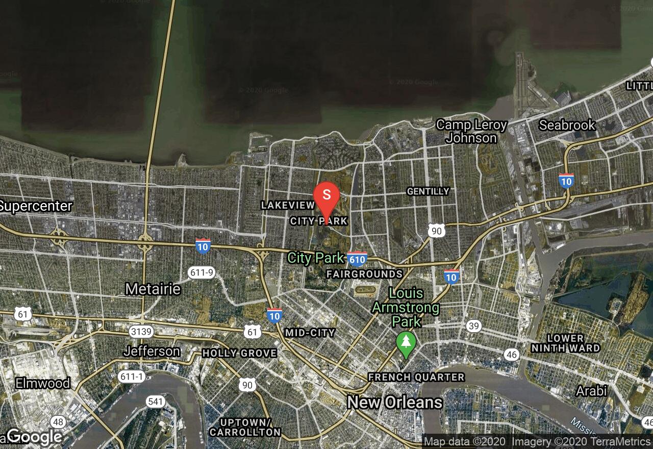
Louisiana, New Orleans
00 :18 hrs
0.9 mi
2.4234316 ft
Easy
This forested area located in the heart of New Orleans is made up of 8 different ecosystems and is also the highest point in all of New Orleans at 43 feet above sea level. The short loop hike follows a mulch trail through the area where visitors can enjoying seeing lots of diverse wildlife and plantlife. The trail also provides good water views of the river that runs through the park. The trail is very short and easy to follow making it a great choice for hikers of all skill levels visiting the city.
See more adventures..
Explore complete list
Explore nearby adventures

