Best Snowshoeing in Maine
Trying to find the best snowshoeing in Maine? Bivy has great hiking, biking, paddling, climbing, skiing, riding and more, with hand-curated trail maps, as well as detailed driving directions.
Maine, Hancock County
00 :24 hrs
0.8 mi
4.7944946 ft
Moderate
This short out-and-back ride follows a carriage road in Acadia National Park along the scenic wooded shores of Bubble Pond. The dirt road is fairly flat but does start to climb on the south side of the lake. The roadways are open to bikes and foot traffic and no motor vehicles are allowed. This ride can easily be extended by riding further along the ride and following other connecting carriage roads in the national park.
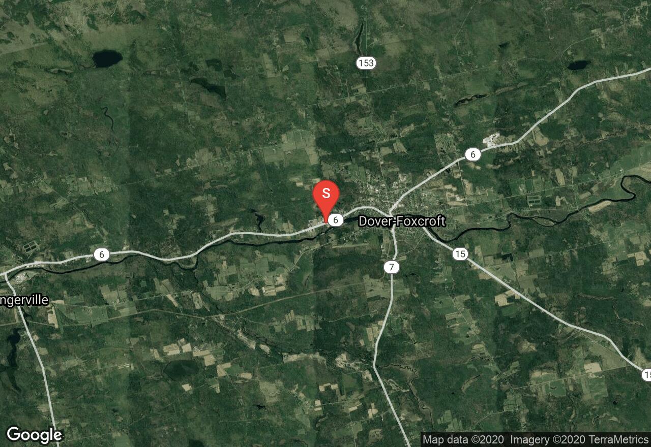
Maine, Piscataquis County
06 :45 hrs
12.8 mi
51.782608 ft
Moderate
The Four Seasons Adventure trails (also known as the Newport/Dover-Foxcroft Rail Trail) is a scenic gravel trail that travels through scenic natural and rural landscape, connecting multiple towns along the way. This segment of the trail covers the area between Dover-Foxcroft and the community of Dexter. The multi-use trail has lots of small ups and downs but no major climbs or descents. The trail is popular for many uses including ATVs, biking, horseback riding, and hiking so pay attention and be respectful of other users on the trail. The trail does continue on for many more miles to the south providing the option for an even longer ride.
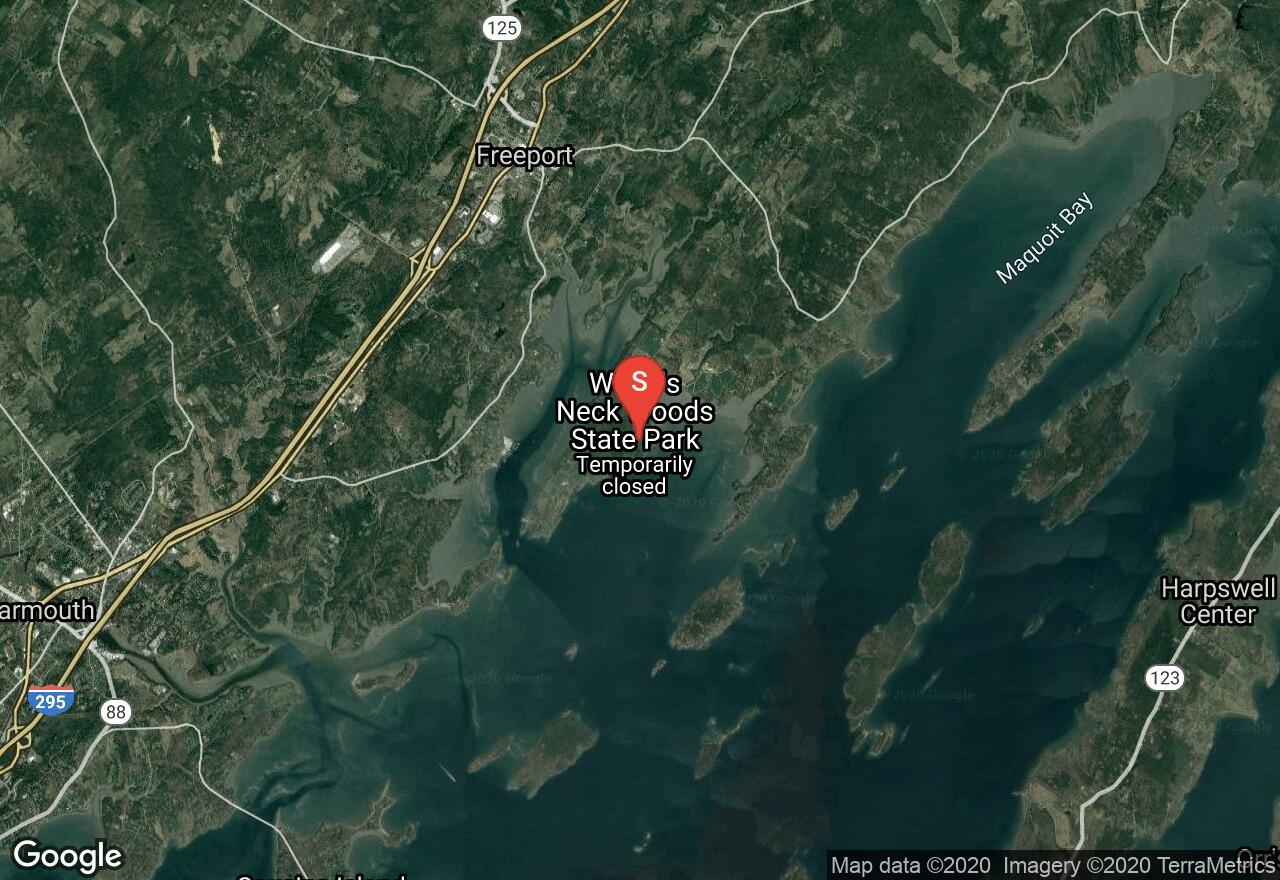
Maine, Cumberland County
01 :04 hrs
3 mi
25.027449 ft
Easy
Wolfe's Neck Woods State Park is located just 5 minutes away from the busy shopping district of Freeport but manages to offer a peaceful setting for enjoying nature. A small trail network in the park provides hikers the opportunity to hike through the forested terrain and rocky shoreline of Casco Bay. This hike follows multiple trails to complete a longer loop hike in the park but the trails can be used to customize outings shorter or longer if desired.
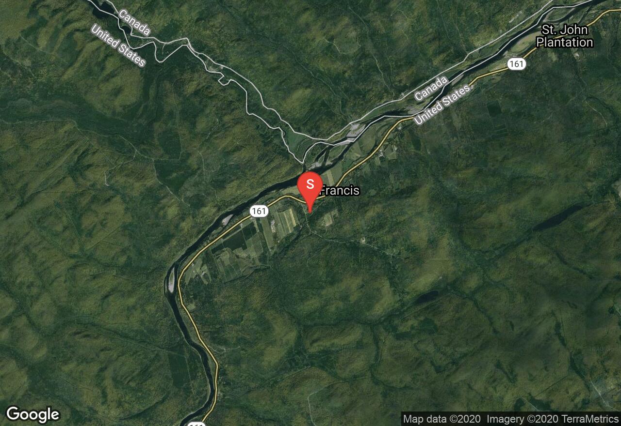
Maine, Aroostook County
09 :01 hrs
16.8 mi
34.375916 ft
Moderate
This scenic rail trail travels through a diverse landscape of forests, wetlands, and farmlands, and also passes through historic towns and suburban areas along the St. John River. The multi-use trail of crushed stone has lots of small ups and downs but no major climbs or descents. The trail is also popular for ATVs, horseback riding, and hiking so be prepared to encounter other users on the trail.
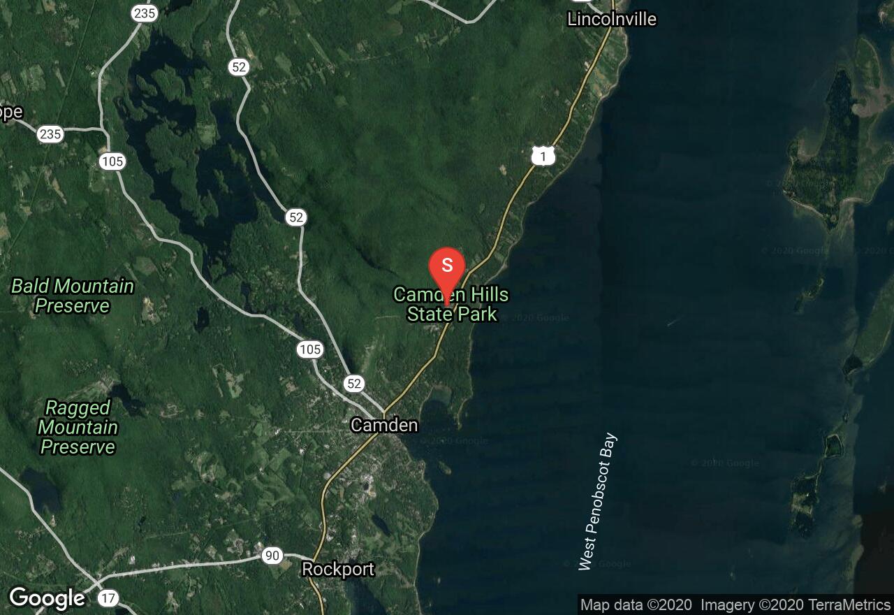
Maine, Knox County
02 :20 hrs
4.8 mi
130.61938 ft
Hard
This 10-mile route follows paved roadway and dirt shared-use trails within the state park to complete a scenic and challenging ride. The ride travels through rugged wooded terrain with lots of great scenery. There is a connecting trail called Summer Bypass located along the route that can be used to add a challenging section if desired. Some of the trails in the park are off limits to bikes so make sure to stay off trails that are only designated for hiking. The ride does have some gradual climbs and descents on gravel with sections of rough trail to navigate.
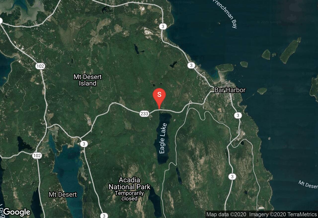
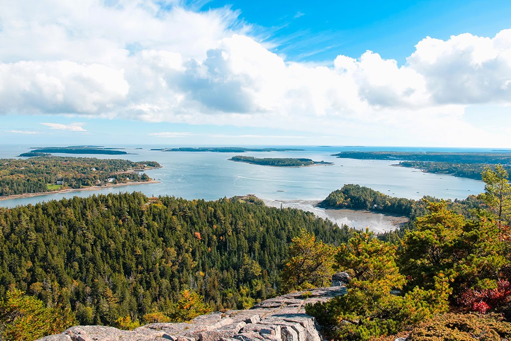
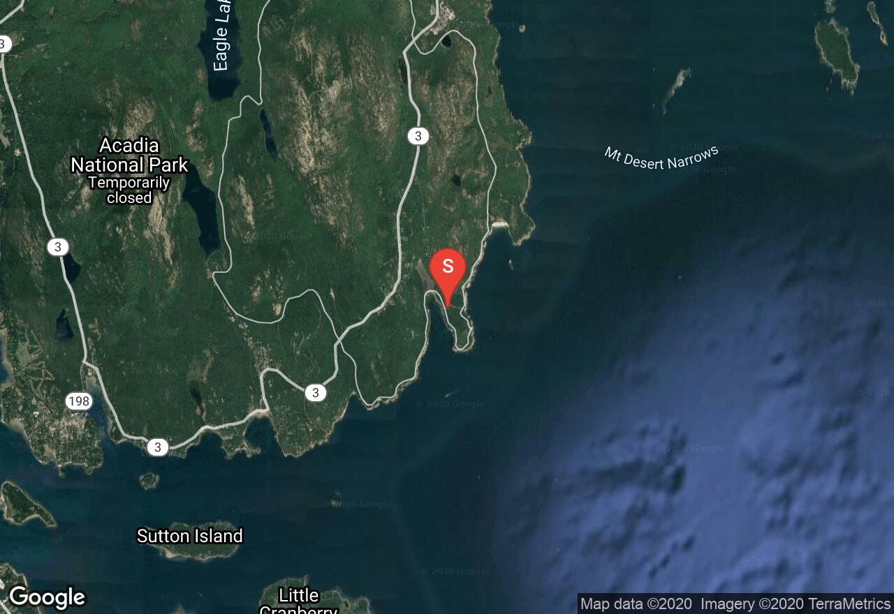
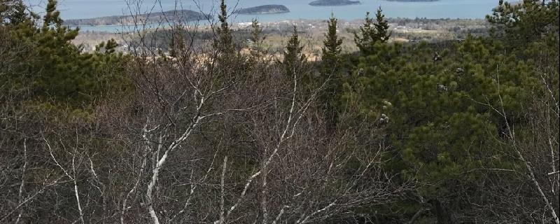
Maine, Hancock County
03 :60 hrs
15.2 mi
86.80937 ft
Moderate
Acadia National Park offers over 40 miles of carriage roads that travel through the scenic park offering bikers and hikers, lots of opportunity to explore the area in peace. The roads are not open to motorized vehicles so there is no need to worry about vehicles or off-road vehicles along the way. Many of the trails are open to horses but not all of them. There are also some connecting carriage rides that are private so pay attention to any signage posted along the way. This ride follows multiple carriage roads located to the south and west of Eagle Lake for a 15-mile loop. There are lots of small ups and downs but no major climbs along the way.
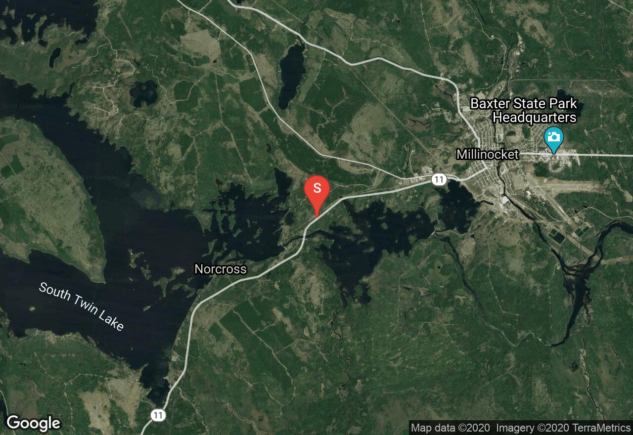
Maine, Penobscot County
01 :30 hrs
3.6 mi
16.00882 ft
Moderate
This network of cross-country ski trails is located just 3 miles southwest of the town of Millinocket, off the eastern shoreline of Elbow Lake. The trails consists of both single and double track and extra room to the side for snowshoeing. The trails are well-groomed, wide, and can be skied when there is minimal snow. The area offers some nice views of Mt. Katahdin and the lake. The main trail is just over 3 miles long but there are additional shortcut trails or side trails that can be used to customize trips of varying distances.
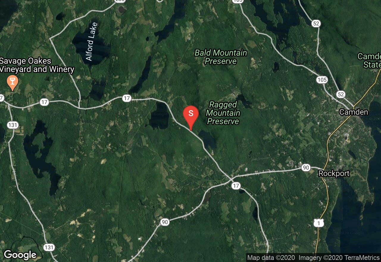
Maine, Knox County
02 :32 hrs
2.5 mi
257.5752 ft
Hard
The trail leading to Ragged Mountain is often considered one of the steepest and most strenuous in the area. Follow the blue blazes marking the trail to the top. Once at the summit, return the way you came, otherwise the trail continues on and connects with a 10 mile network through the Ragged Mountain Preserve.
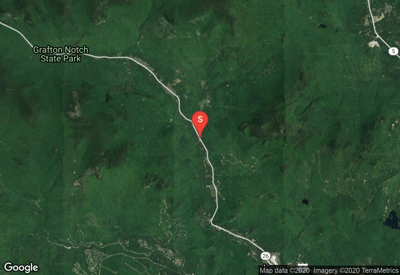
Maine, Oxford County
03 :28 hrs
6.8 mi
724.1805 ft
Hard
This popular hike to the top of Puzzle Mountain is part of the Grafton Loop Trail. The peak of this day hike is marked by a large rock cairn where you can enjoy views of Grafton Notch, the Sunday River Ski Area, and a distant view of the Presidentials.
See more adventures..
Explore complete list
Explore nearby adventures

