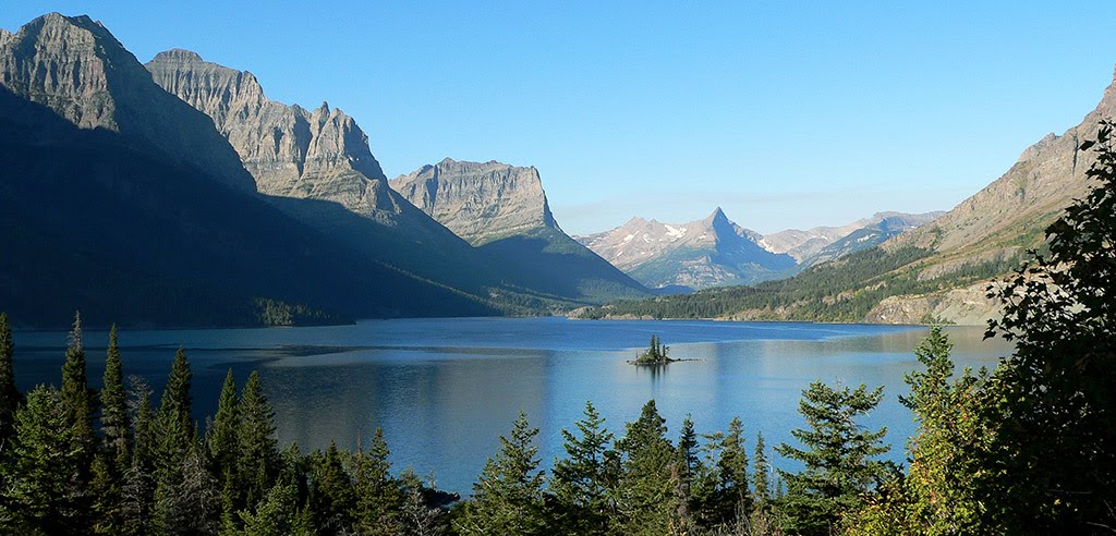
Styles.ec1e20f1fbaef179e0af.css in Hyalite Canyon
Trying to find the best in Hyalite Canyon ? Bivy has great hiking, biking, paddling, climbing, skiing, riding and more, with hand-curated trail maps, as well as detailed driving directions.
Montana, Gallatin County
04 :53 hrs
4.1 mi
552.07715 ft
Hard
From the trailhead, follow the creek for the first three miles. Then several switchbacks take you up the last pitch, passing multiple waterfalls along the way. Emerald Lake sits surrounded by a craggy cirque, making this a very scenic destination. Heather Lake sits another half mile to the southwest, further up the drainage, and offers additional options for your lunch break or camp site.
Montana, Gallatin County
00 :44 hrs
0.6 mi
88.46167 ft
Easy
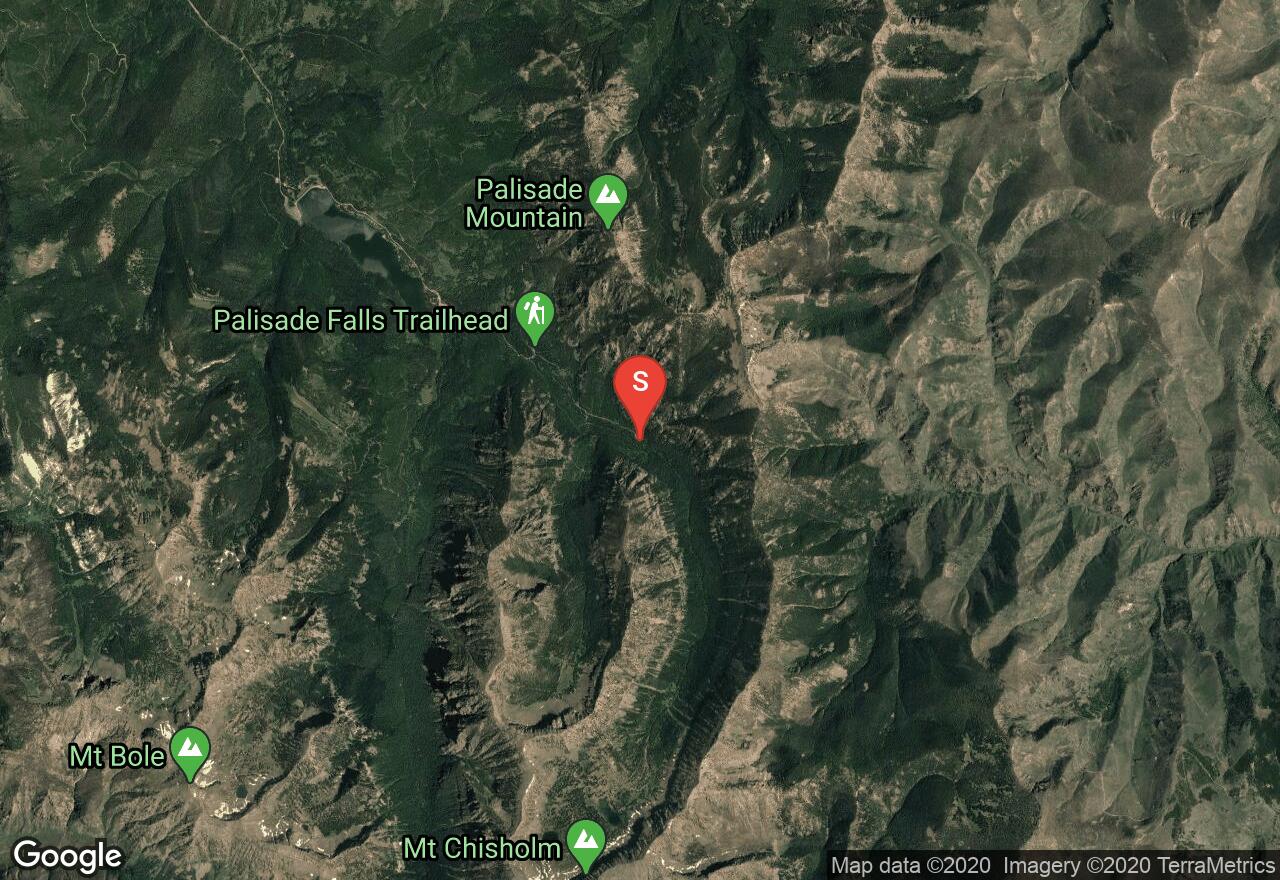
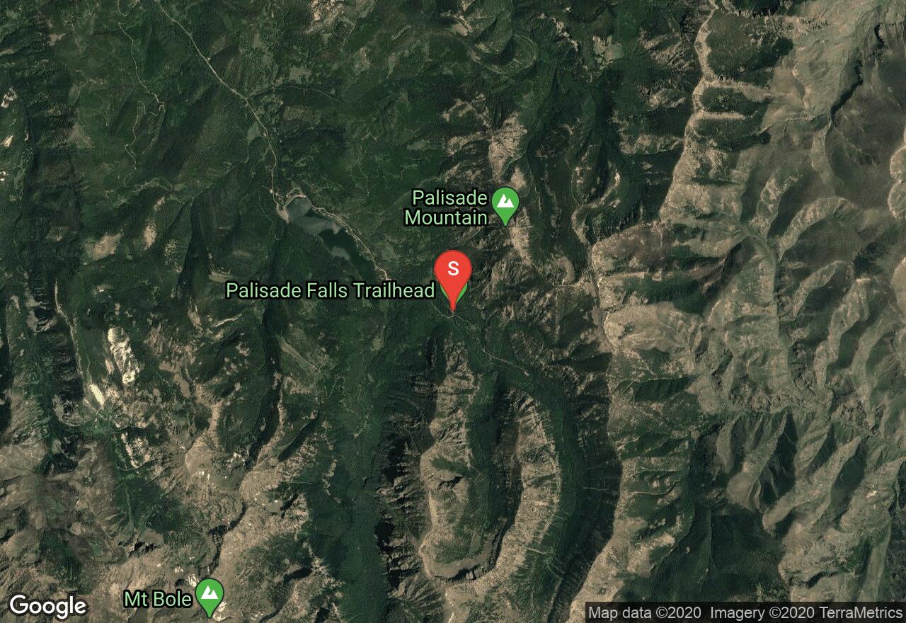
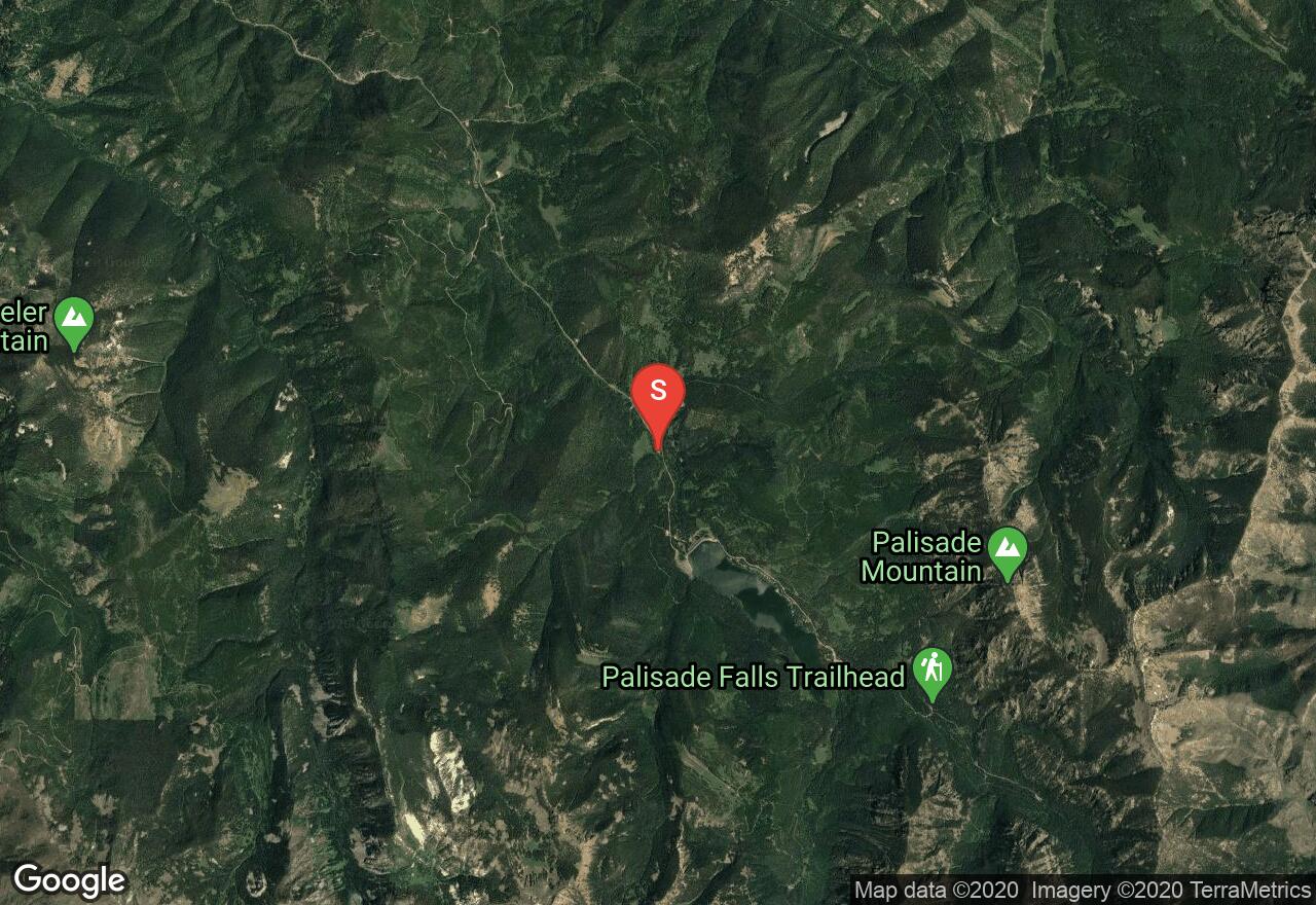
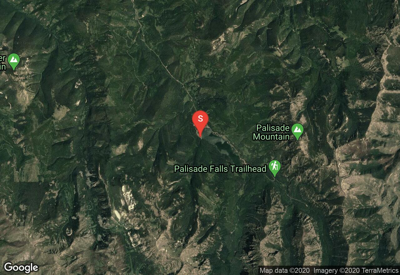
The trail to Palisade Falls is paved and wheel chair friendly, with an 11% grade for maximum slope. The path is sheltered by forest until you reach the scree field at the bottom of the falls. Make notice of the interesting geological formations that surround the 80 foot plunge.

Montana, Gallatin County
09 :27 hrs
7.5 mi
1030.0232 ft
Extreme
Travel along a forested canyon floor following the creek and passing waterfalls on the way to Hyalite Lake. A fine destination itself, the lake serves well as base camp, if one desires an overnighter to bag the peak. From the lake follow a well defined path southwest to the saddle, then travel east southeast to Hyalite Peak.
Montana, Gallatin County
03 :21 hrs
5.5 mi
562.8154 ft
S2+
The History Rock area offers quick easy access with moderate terrain and a short approach. Expect to see the crowds here when the snow is prime. There are a few different options of terrain and the higher you go the more untouched snow you will find. The highest descent is short and sweet but is a good option to do a few laps. The run back to the car is pretty fast with a few meadows that offer a good descent.
Montana, Gallatin County
05 :08 hrs
5.8 mi
270.46863 ft
Expert
The South Cottonwood Creek Trail is well maintained and travels through dense old-growth forest and lush meadows filled with wildflowers. The trail crosses the creek over a bridge a few times and then ends at a Forest Service cabin. This is also a junction to the History Rock Trail which follows along Fox Creek. Because this trail is a nice gradual climb, you can of course choose a earlier turn back point for a shorter trip.
Montana, Gallatin County
08 :12 hrs
13.7 mi
972.1321 ft
S2+
Hyalite Peak offers excellent above tree-line skiing. This is a real backcountry adventure that requires smart terrain navigation, snowpack evaluation and safe decision making as you choose your options. The approach is long and follows a summer hiking trail through thick forested terrain. Once you are out of the tree-line the skin track begins as it switchbacks towards the ridge and up to the summit. Choose your descent from the ridge or continue up to the summit. This is prime avalanche terrain so take caution. The Snotel sensor is located on Hyalite Creek at Shower Falls.

Montana, Gallatin County
00 :58 hrs
1 mi
81.736084 ft
Easy
The hike to Grotto Falls is on a wide, smooth gravel path with log benches along the way to enjoy the scenic points. It is wheelchair accessible and passes another waterfall en-route. The trail continues on to Hyalite Lake.

Montana, Gallatin County
06 :28 hrs
5.8 mi
612.49243 ft
Expert
Follow the creek up the gut of Hyalite Canyon for the first four miles. The trail will then begin to switchback and you will pass periodic waterfalls on the final steep pitch. The canyon opens up to Hyalite Lake sitting in a highly scenic glacial bowl.
Montana, Gallatin County
01 :01 hrs
2.6 mi
43.262817 ft
Moderate
Take this meandering forested trail from the parking lot at the NW side of Hyalite Reservoir, to Crescent Lake, a small tarn to the southwest. After your visit to Crescent Lake travel east to the western shore of Hyalite Reservoir and follow the shoreline all the way back to the trailhead. Both bodies of water are a good spot to have your fishing gear and of course a local fishing license.

Montana, Gallatin County
10 :22 hrs
4.5 mi
1010.0759 ft
I
Mount Blackmore sits on the NW wing of the Gallatin Range, a string of mountains stretching from Yellowstone to Livingston. It is a popular place among the locals in Bozeman year round and offers nice backcountry skiing in the winter months. This route begins on the standard approach but then climbs up the Northeast ridge rather than the southwest ridge. During the winter you will need an ice axe and crampons to reach the summit (just the last 200 feet).
See more adventures..
Explore complete list
Explore nearby adventures

