Best Hiking in White Mountain National Forest
Trying to find the best hiking in White Mountain National Forest ? Bivy has great hiking, biking, paddling, climbing, skiing, riding and more, with hand-curated trail maps, as well as detailed driving directions.
New Hampshire, Grafton County
05 :08 hrs
9.7 mi
998.6627 ft
Easy
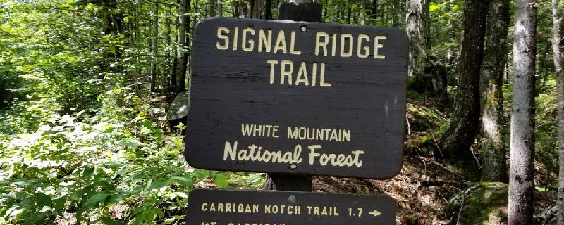
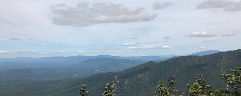
Signal ridge trail to carrigain is very nice beautiful views on ridge and great 360 views. The top of the fire tower.
New Hampshire, Sargent's Purchase
05 :25 hrs
3.3 mi
1011.7825 ft
Hard
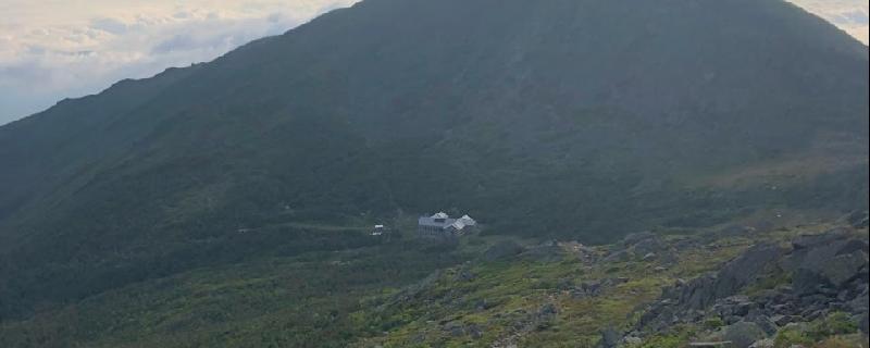
Tuckerman Ravine is a famed and classic route to the summit ridge of Mt Washington. It’s a challenging summer hike paralleling the upper reaches of the Cutler River at lower elevations and then ascends to rather exposed trail that crosses talus and winds around vertical rock. Although the lower trail may be accessible by snowshoe in winter the upper ravine portion requires specialized skills and equipment or may be closed all together. Be aware that conditions can change rapidly on Mt Washington bringing high winds and reduction of visibility to nearly zero. Check and heed weather reports before going and bring appropriate clothing for conditions. Bring extra food and water and be prepared for emergencies. Familiarize yourself with and observe regulations posted at the trailhead. Traction devices are advised for snowy or icy conditions. A parking permit is required at trailheads in the White Mountain National Forest.
New Hampshire, Coös County
10 :02 hrs
17.7 mi
1513.658 ft
Expert
A one day traverse of the Presidential Range in NH is a solid accomplishment for the seasoned experience hiker. Over 18 miles and 8000 feet of vertical on some of the roughest trails in the country. Do not attempt in poor weather, plan exit routes if conditions change, be prepared for self-rescue. On a nice weather day this is the most alpine exposure one can get in the Eastern US!
New Hampshire, Franconia
05 :54 hrs
4.6 mi
886.8779 ft
Hard
This well graded trail takes you to the summit of Mt Garfield with its excellent three hundred sixty degree views. The path begins in hardwood forest roughly paralleling Spruce Brook and emerges on an exposed summit surrounded by spruce and fir. The peak is also the site of an old fire watchtower. Check and heed weather reports before going and bring appropriate clothing for conditions. Bring extra food and water and be prepared for emergencies. The Gale River Loop Road that accesses this trailhead is closed in winter. A parking permit is required at trailheads in the White Mountain National Forest.

New Hampshire, Grafton County
05 :26 hrs
9.7 mi
1044.5803 ft
Expert
Hiking with the fam in NH (shoulda stayed on the lake) great hike!
New Hampshire, Carroll
10 :39 hrs
20.6 mi
1491.4276 ft
Extreme
At over twenty miles the Presidential Ridge Traverse may be best enjoyed as a two-day adventure. The trail begins on the Saco River crosses over eight major summits and many minor ones and then descends Osgood Ridge to the Peabody River. You’ll pass three Appalachian Mountain Club huts along the way and the Mt Washington Summit Station. Be aware that conditions can change rapidly in the Presidential Range bringing high winds, lightning and reduction of visibility to nearly zero. Check and heed weather reports before going and bring appropriate clothing for conditions. Bring extra food and water and be prepared for emergencies. Familiarize yourself with and observe regulations posted at the trailhead. A parking permit is required at trailheads in the White Mountain National Forest.
New Hampshire, Franconia
05 :17 hrs
4.5 mi
721.8474 ft
Hard
A hike along the north fork of the Gale River takes you through hardwood forest rising eventually to the evergreen covered summit of Galehead Mountain. Some limited views can be enjoyed on the path near the top just after passing the AMC Galehead hut. Check and heed weather reports before going and bring appropriate clothing for conditions. Bring extra food and water and be prepared for emergencies. The Gale River Loop Road that accesses this trailhead is closed in winter. A parking permit is required at trailheads in the White Mountain National Forest.
New Hampshire, Grafton County
03 :54 hrs
7.3 mi
660.708 ft
Moderate
Very nice beautiful views
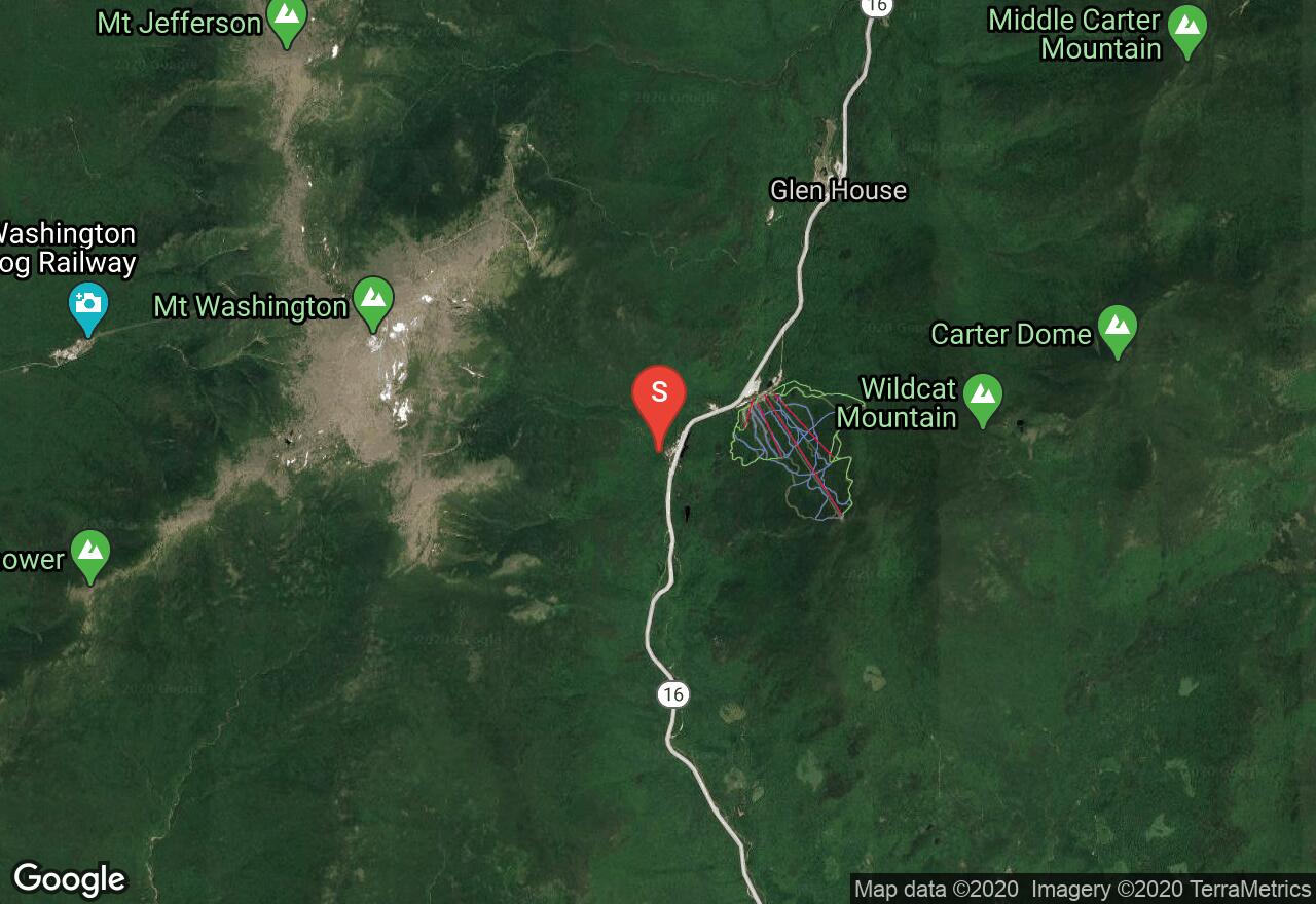
New Hampshire, Pinkham's Grant
04 :34 hrs
7.2 mi
1292.1193 ft
Expert
Would not recommend descending the Huntington Ravine trail! Extremely steep and requires climbing. Especially dangerous in rain.
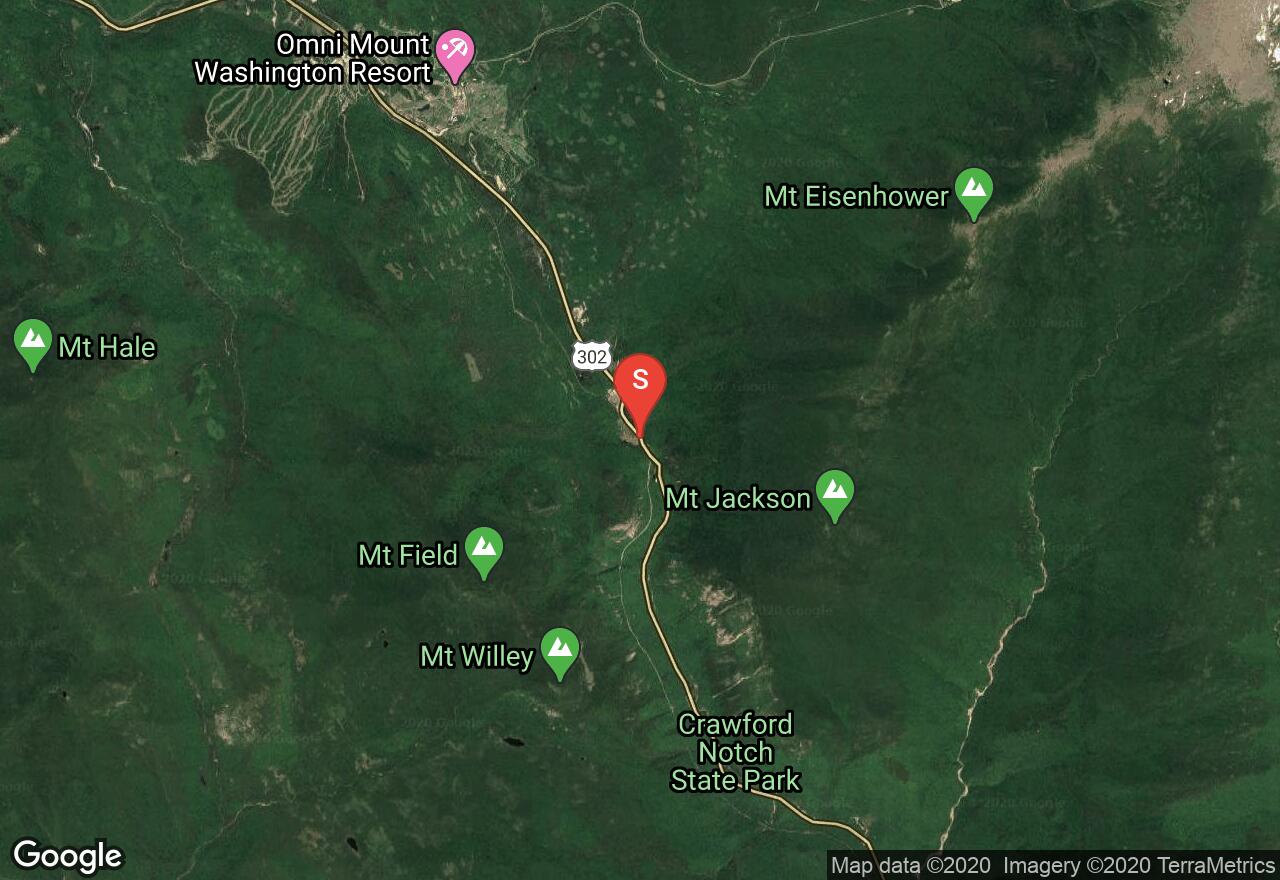
New Hampshire, Coös County
04 :05 hrs
6.6 mi
672.6219 ft
Hard
A steep climb with a waterfall and beautiful views.
See more adventures..
Explore complete list
Explore nearby adventures

