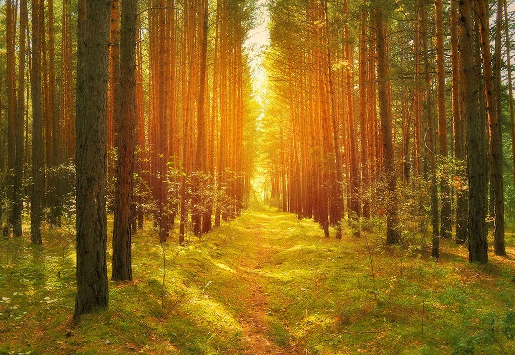
Best Rafting in Texas
Trying to find the best rafting in Texas? Bivy has great hiking, biking, paddling, climbing, skiing, riding and more, with hand-curated trail maps, as well as detailed driving directions.
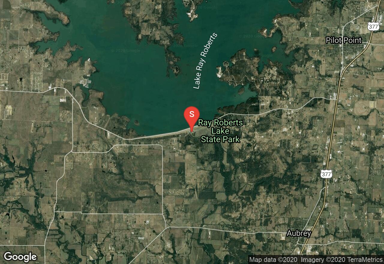
Texas, Denton
06 :02 hrs
12.2 mi
19.832764 ft
II
Float down the meandering Elm Fork Trinity River below Lake Ray Roberts for an enjoyable day on the water. This route runs from just below the dam, where a paved walk extends from the parking lot to the river’s edge, along the greenbelt corridor, to Lewisville Lake. This route officially ends just before you reach Lake Lewisville where a convenient boat launch and parking lot provide easy access egress from the river.
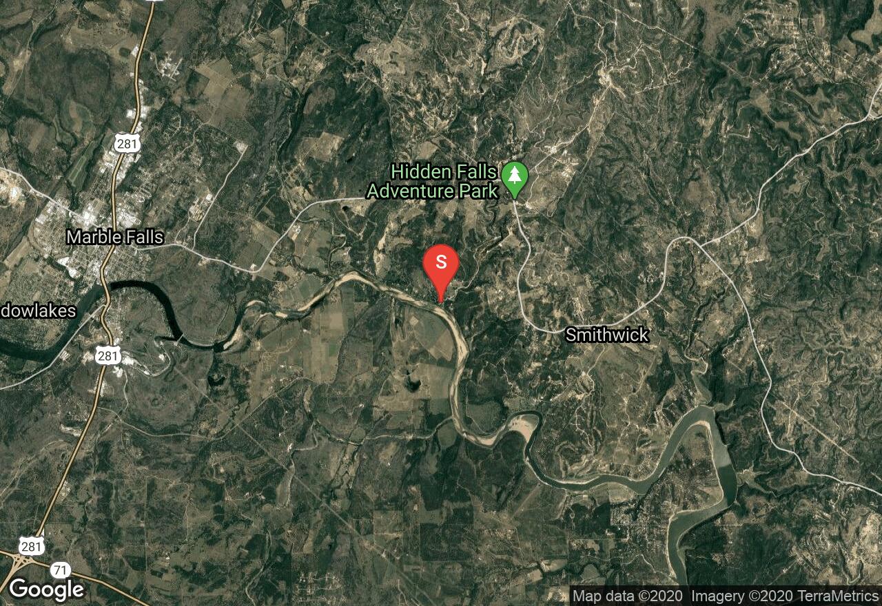
Texas, Burnet County
25 :15 hrs
50.5 mi
6.342346 ft
II
If rafting is your adventure, the Colorado River above Lake Travis is a great place to float away. This portion of the river meanders quite a bit in the water is slow-moving. Several coves and inlets provide basis to stop along the way, or provide alternate entry points onto the river. The route ends just above the dam at the south end of Travis Lake.
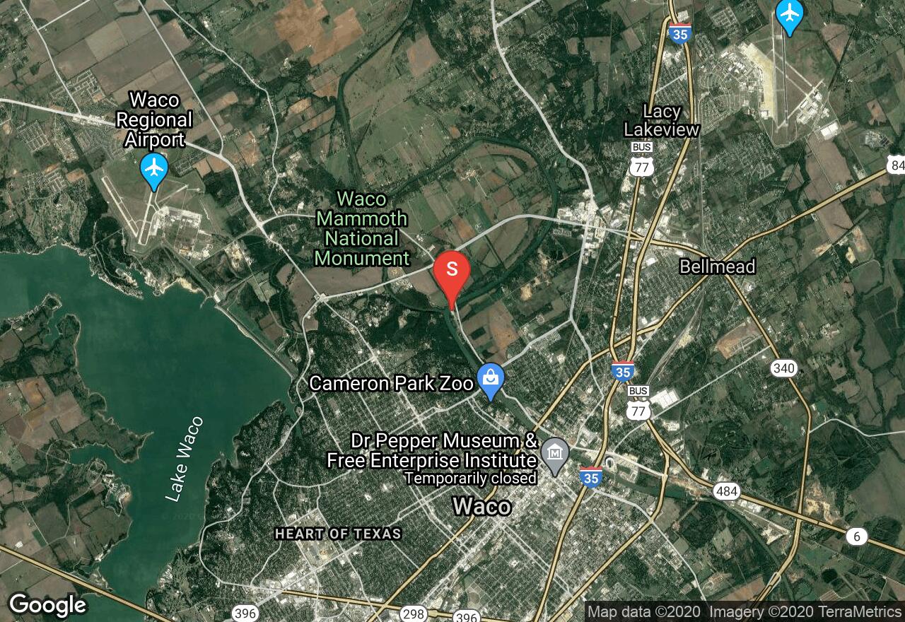
Texas, Waco
02 :02 hrs
4 mi
8.503464 ft
II
Beginning at Cameron Park and ending at Baylor University, this route through downtown Waco offers an unusual way to see the city. The slow-moving water will provide a relaxing trip in the more scenic parts of the city, but some adventurers may challenge each other to a paddling race on this fairly flat water.
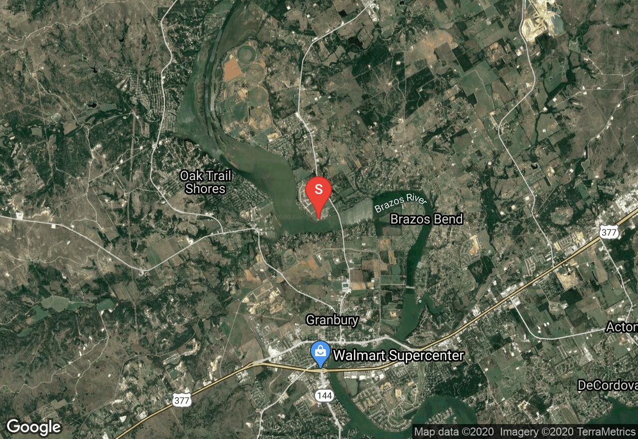
Texas, Granbury
09 :60 hrs
19.9 mi
10.9223175 ft
II
Starting from the bottom end of Lake Granbury, this River run takes you around the Brazos bend and down to the Decordova bend of the Brazos River. The route ends just West of the dam and the best take-out point is that Park on the South side of the River, the film alternates spot does exist on the North side of the River as well. This is fairly slow-moving water without any Rapids strainers rocks or other obstacles, making it less dangerous but potentially less exciting as well.
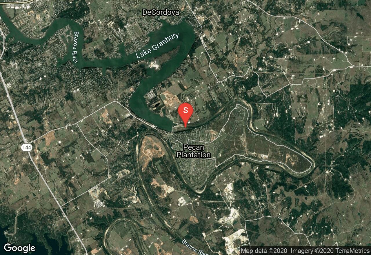
Texas, Hood County
06 :55 hrs
13.7 mi
22.22551 ft
III
Though this course is nearly 14 miles long, the endpoint is only about three quarters of a mile from the start point, which is unusual for a River route. However, this meandering section of the River loops so tightly back around that you end almost where you start. The channel for this River is fairly wide, and during runoff season the high water can flow rapidly, but most of the time runs low and the actual breadth of the water flow is rather small. In the places where the channel narrows, water speeds can pick up a bit making for some moderate rapids. In some places the water can be so narrow that portage is required, and the most likely location where you may need to carry your vessel for a short distance is indicated by a loop in the path.
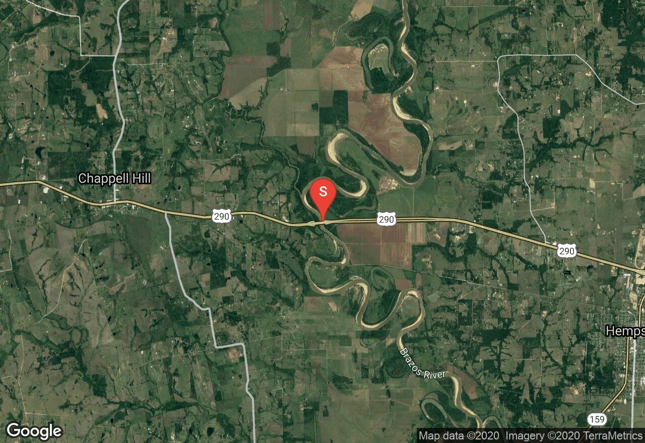
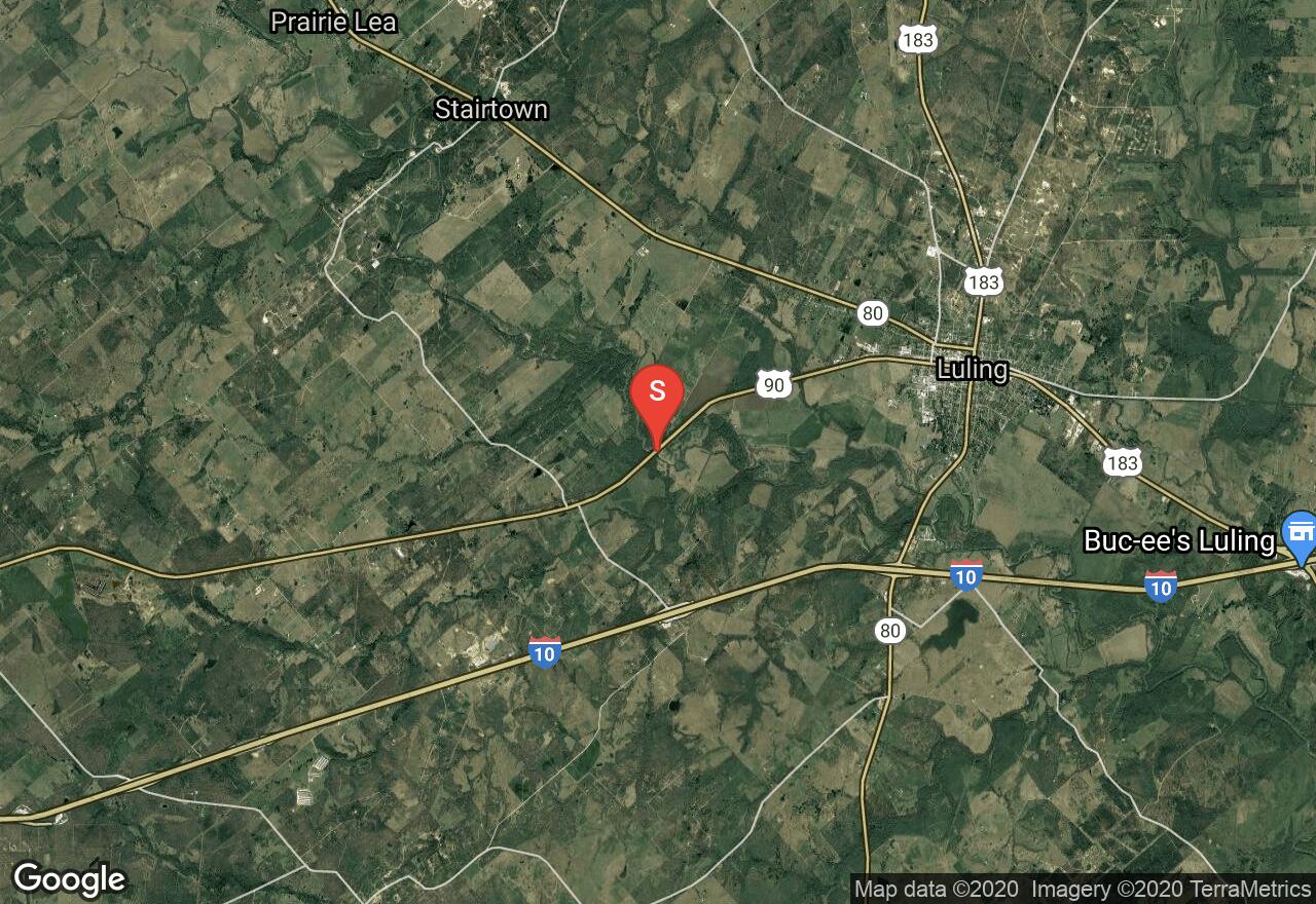
Texas, Waller County
22 :36 hrs
45.3 mi
13.850384 ft
II
As indicated in its name, this section of the Brazos River winds, loops, and meanders through the rural country between Chapel Hill and San Felipe, Texas. This slow-moving section of water is an easy float for kayaks, canoes, and rafts, as well as for tubers, swimmers, etc. We have mapped a 45 mile section of the river as a good day float, but other exits exist to make this a shorter trip.
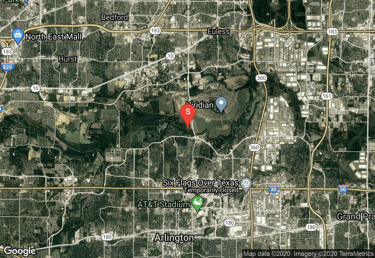
Texas, Tarrant County
05 :04 hrs
10.2 mi
11.345573 ft
II
Float slowly down the Trinity River’s West Fork on this meandering path near Arlington. This is a slow-moving section of the river, making it perfect for rafts, canoes and kayaks, including those who are new to these types of adventures. The flat nature of this water makes for conditions which create occasional log jams, so there is a possibility that you’ll need to jump out of the water for a moment and carry your craft. Put in at River Legacy Park and exit at Mike Lewis Park.
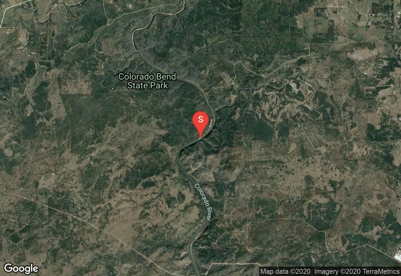
Texas, San Saba County
08 :18 hrs
16.6 mi
7.900116 ft
II
Float down the Colorado River from Sicewood springs in Colorado Bend State Park. This is a meandering path that eventually reaches Buchanan Lake to the south, where a small ramp just past Chimney Slough provides egress from the river just before you reach the lake. This is a slow meandering channel that's moderately wide and easy pass. Many adventurers will prefer to raft down the section of the river, though kayaking and canoeing are popular adventures in this area as well.
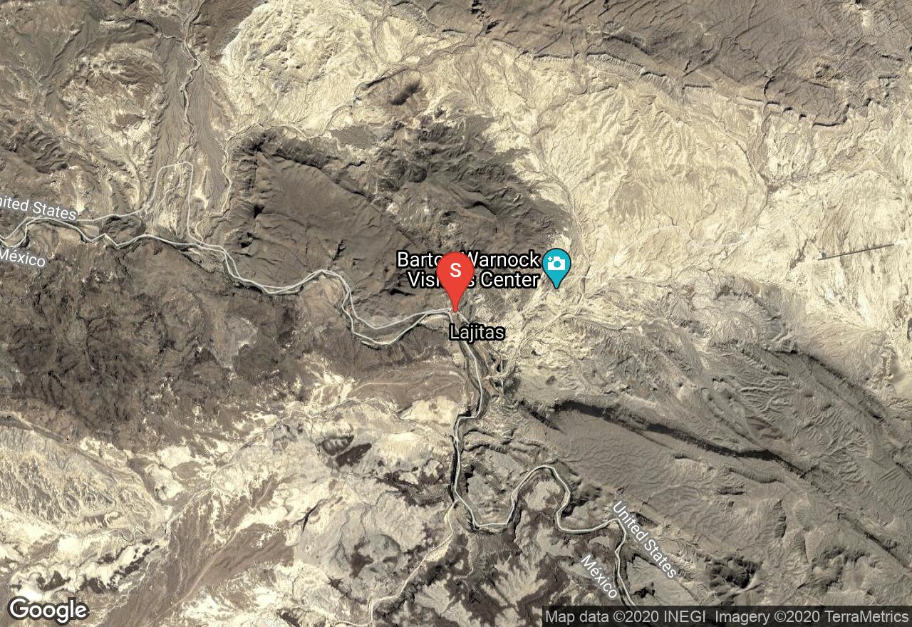
Texas, Brewster County
07 :59 hrs
19.1 mi
125.691956 ft
III
Santa Elena Canyon offers some of the most challenging, and most rewarding kayaking waters in all of Texas. The narrow, high canyon is exceptionally beautiful, and one of the most alluring draws to this area. Be aware that there are very few places to take out along this course, so once you start you'll need to follow all the way through. Also be aware the Rio Grande River is the border between the United States and Mexico, so identification and documentation are issues to consider.
Texas, San Marcos
02 :36 hrs
6.1 mi
5.921341 ft
I
The trail is located on the San Marcos River and is a gentle route for paddlers of all levels. The river consists of calm pools and a few areas of very mild rapids. The trail is very shady with lots of large trees. Depending on current water conditions there may be a few areas of obstruction that paddlers will need to navigate around. The take-out spot is just before a dam so pay close attention to making it to the take-out spot. Shuttling of vehicles is required as there are different access points for put-in and take-out.
See more adventures..
Explore complete list
Explore nearby adventures

